The Road to Genowlan Point
Fire trails can be long, tedious and rather dreary. They are usually just a way of getting somewhere else. The old road across Genowlan Mountain is different: perhaps our favourite fire-trail walk, passing through forest, fern gullies and some of the finest pagoda country in Mugii Murum-ban.

Genowlan Mountain and the country crossed on the road to Genowlan Point.
-
Primary walk: November 2022
Other visits: April 2023 · September 2024
Distance: 16 km
Elevation gain: 640 m
Time: 6 hours
Grade: 4 — long fire-trail walk with sustained climbing and steep sections
Route: Return via Genowlan Mountain fire trail
Location: Mugii Murum-ban State Conservation Area, Capertee Valley
Map: NSW Topographic 1:25,000: Glen Alice
Conditions: Dry spring afternoon following months of higher-than-average rainfall, cool in the shaded gullies, clear with strong late-afternoon light
Notable features: Genowlan Creek fern gullies, Garage Cave, Breadknife, Pantoneys Crown views, western cliff edge, Genowlan Point, rare heath and Genowlan bush-pea
Photography: Sandstone Symphony unless noted otherwise.
Mugii Murum-ban State Conservation Area lies above the Capertee Valley, centred on the sandstone massifs of Airly and Genowlan mountains. It is remarkable country of cliffs, gullies and pagodas. We have walked here many times, usually climbing onto the Genowlan mesa before leaving the central fire trail for one of the valleys, ridges or pagoda systems beyond it.
The walk to Genowlan Point begins near Glen Davis Road, at the property known as Airly Mountain.
It is not an especially early start, so much of the day will unfold in the afternoon.
The road begins by climbing through tall forest on the talus slope below the cliffs. Over the first section it gains roughly 300 metres vertically, winding steadily upward before steepening beneath the sandstone walls.
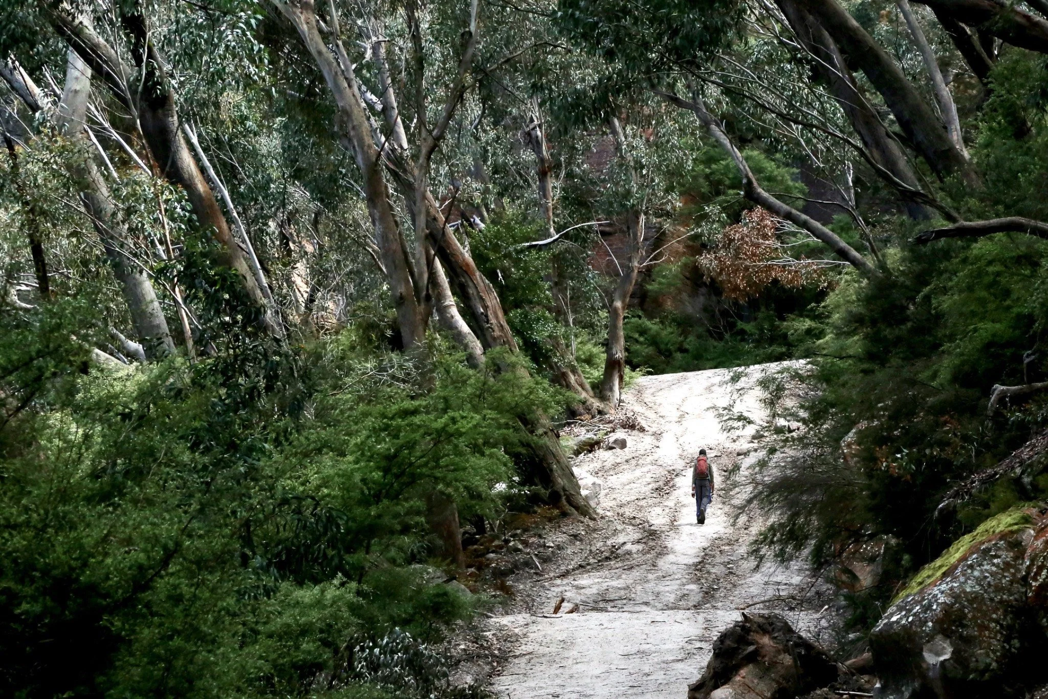
The steep climb towards the cliff line.
Ahead, the cliffs begin to close in. From below, there seems to be nowhere obvious for a road to go. And then it finds a way through. I have made this climb more than twenty times in the past five years, but the effect has never quite worn off. Passing through the cliffs feels like crossing a threshold.
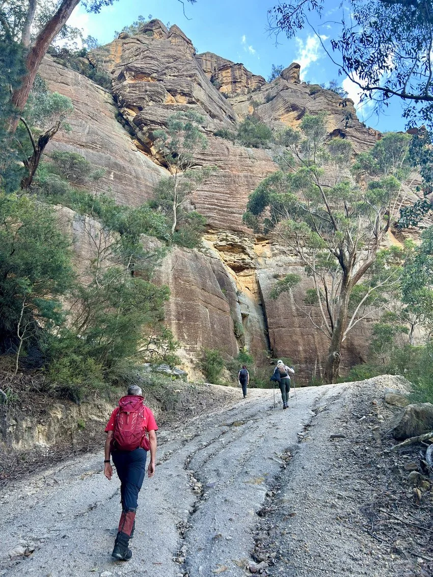
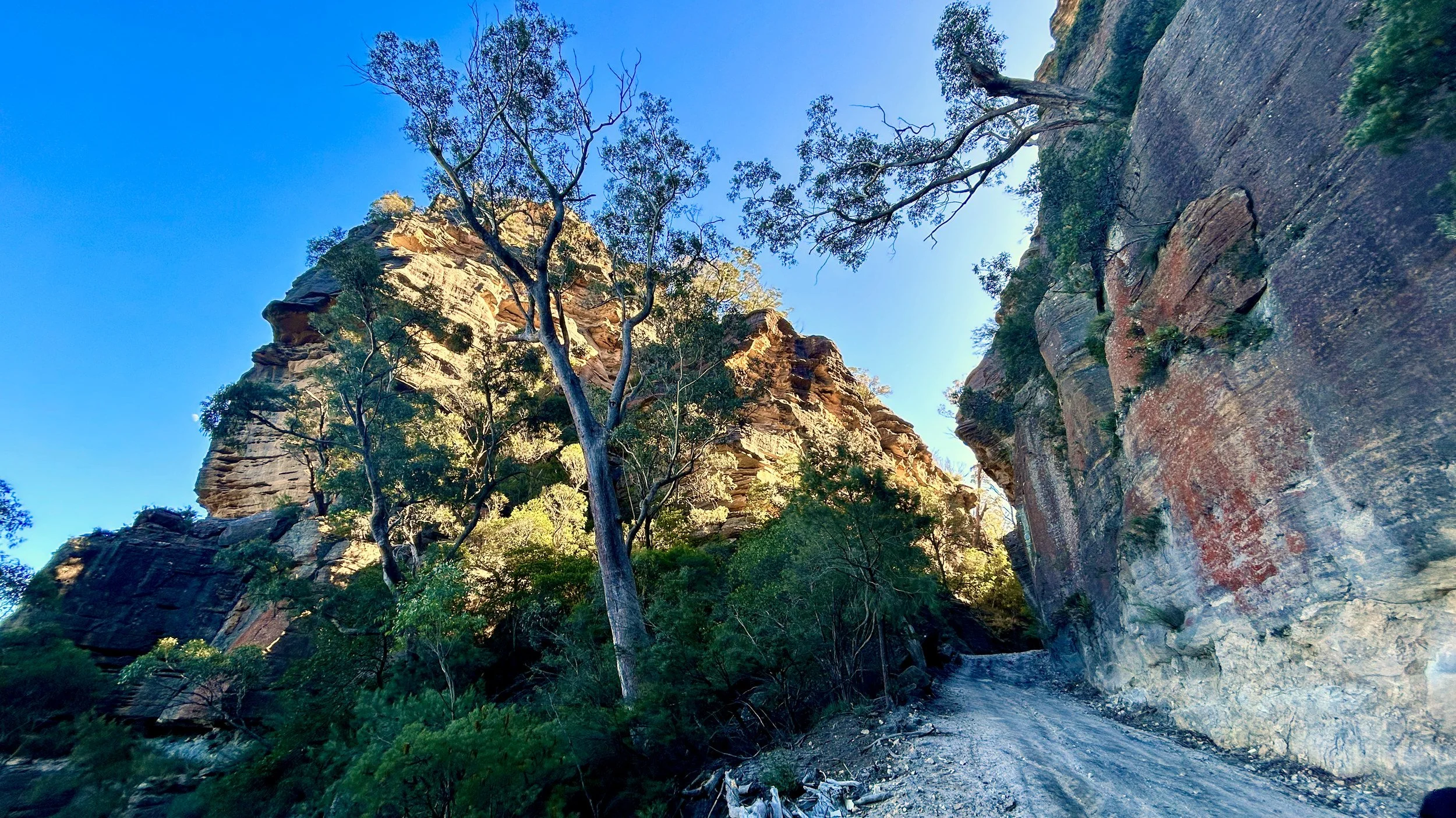
Beyond the threshold, the road levels almost immediately.
After the sustained climb there is the simple pleasure of being able to breathe properly again, but something else changes too. The forest opens around us. There is a smell up here I have always associated with Genowlan, and squat moss-covered pagodas sit quietly among the trees.
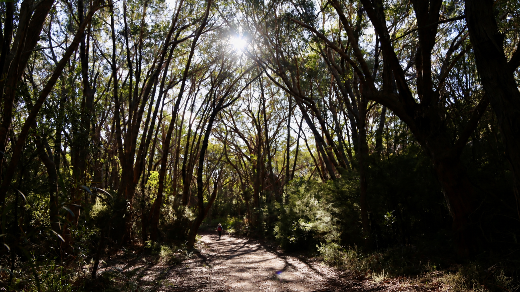
Open forest beyond the first climb.
It feels removed from the country below. We are not just higher; we seem to be somewhere else. The biggest climb is over. Genowlan is ahead of us, and the day suddenly feels ready to begin.
Mugii Murum-ban also feels different from much of the surrounding sandstone country because it escaped the worst of the 2019–20 fires. In other areas—the Gardens of Stone for example—severely burnt forest has often returned as dense, almost impenetrable, regrowth. In Mugii Murum-ban, the mature canopy remains intact. The understory can still be thick, but in many places the forest beneath it is remarkably open.
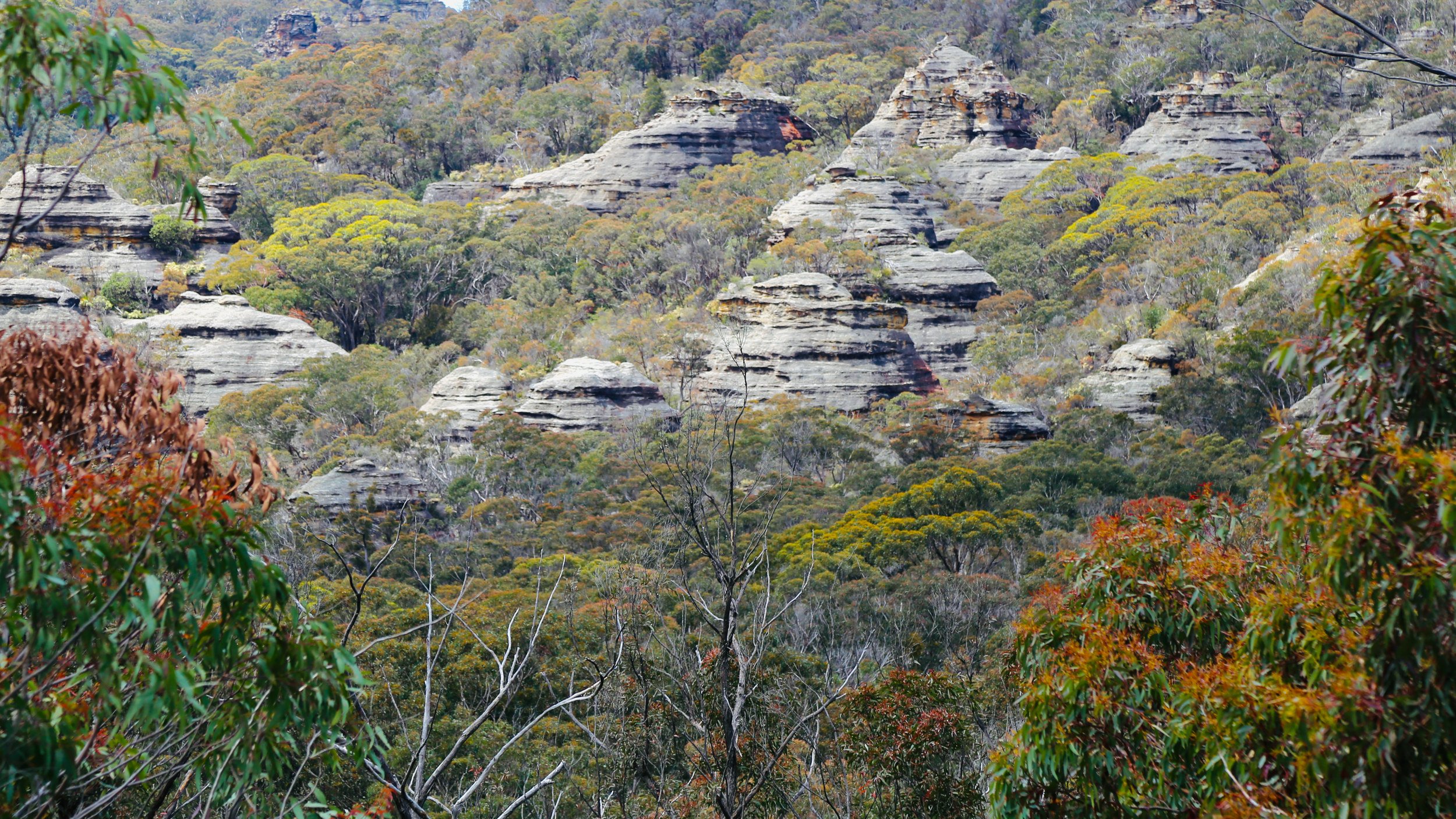
Pagodas scattered through the forest on Genowlan Mountain.
The old road runs through this country like a spine.
When conditions allow, the road is also open to four-wheel drives. Their presence changes the character of the walk immediately: engines echo through the gullies and, every so often, we have to step aside and let one crawl past. On the rougher sections they are not necessarily much faster than we are, which can leave everyone travelling together for longer than anyone really wants.
Along the trail are departure points for some of Genowlan Mountain’s best-known walking country — most famously the Valley of the Dinosaurs, along with City in the Sky, Valley of the Kings, the Citadel and others described by Bush Explorers.
Usually, somewhere along the road, we leave it and disappear into the country beyond. This time we stay on it.
Having gained all that height, the road then begins giving a surprising amount of it back. It winds down into the tributary gullies of Genowlan Creek, a deep incision through the mesa where the vegetation changes.
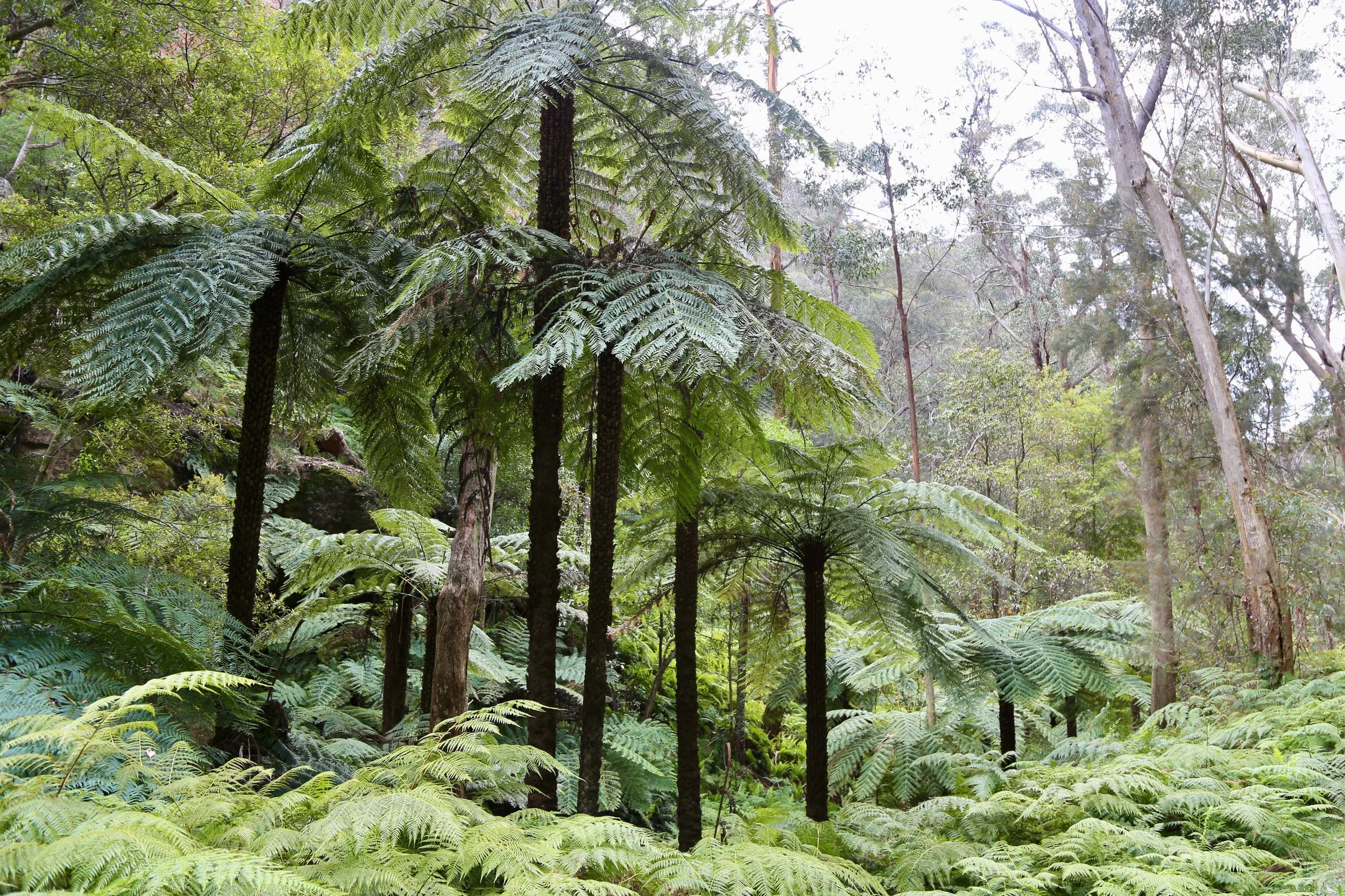
The forest becomes damper and darker. Tree ferns appear. In places, there are masses of them. The road enters a cool ravine beneath soaring sandstone walls.
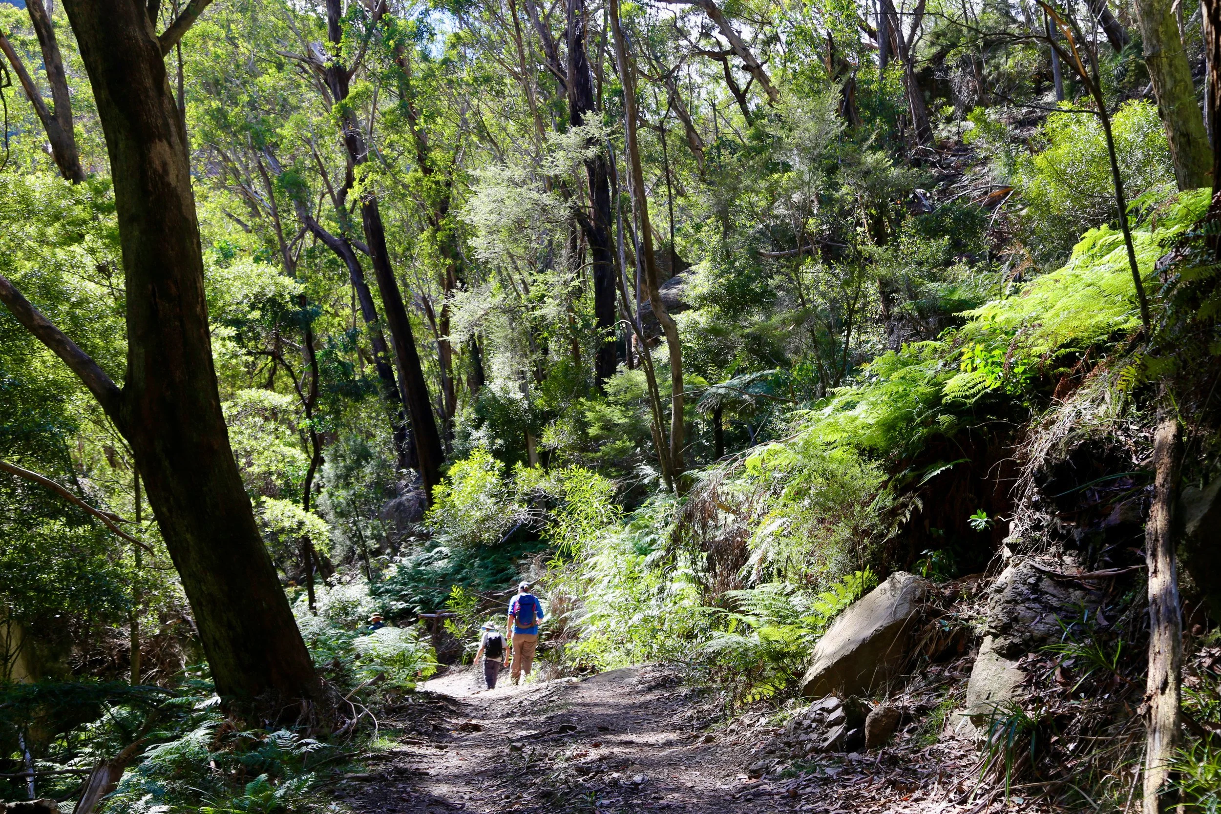
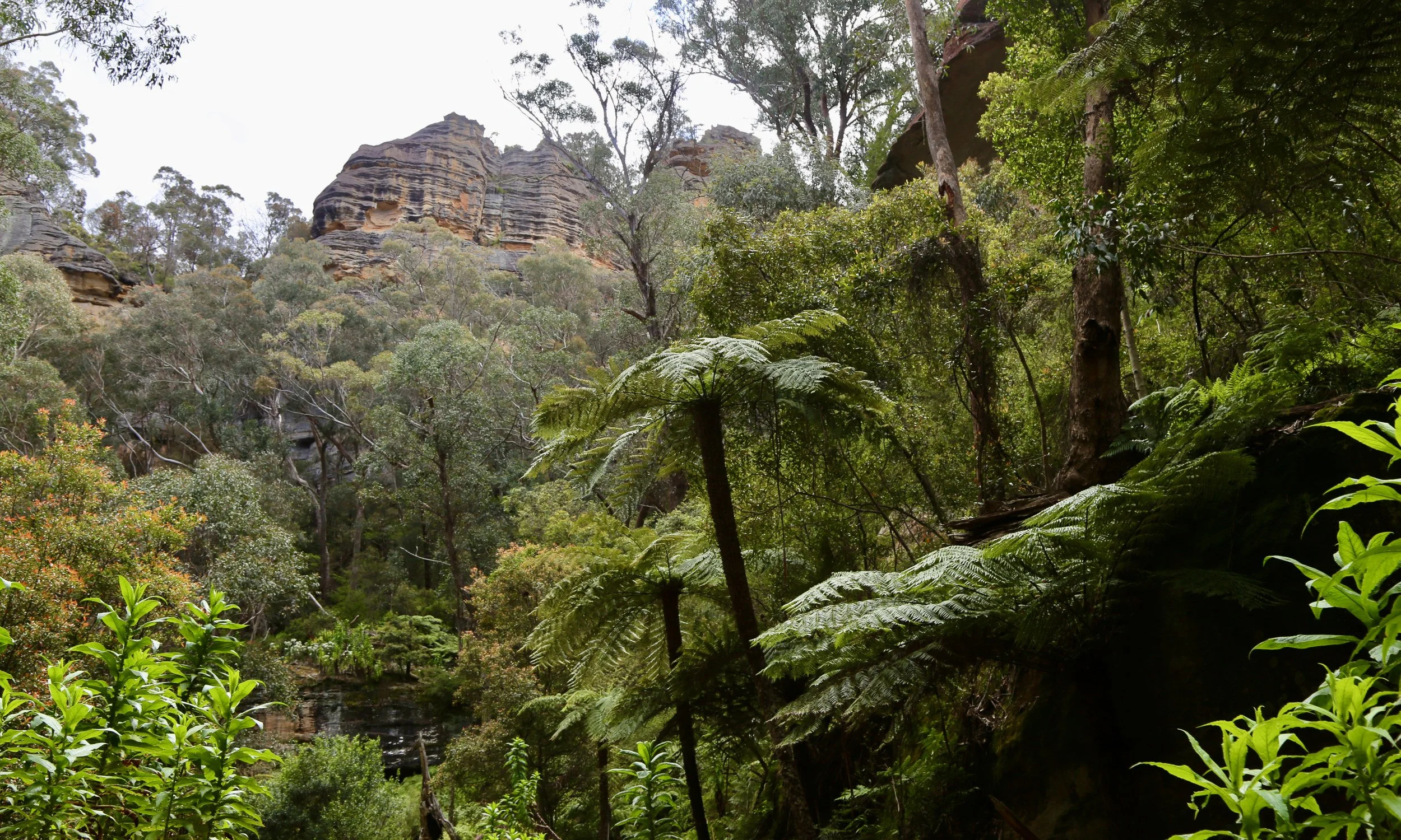
Our first visit here was in 2022, after more than two unusually wet years. Everything seemed excessively green. Ferns crowded the slopes, moss coated the rocks and water lingered in the deeper folds of the ravine.
We were slightly astonished that a fire trail could pass through somewhere so beautiful. It remains one of my favourite sections of bush trail anywhere.
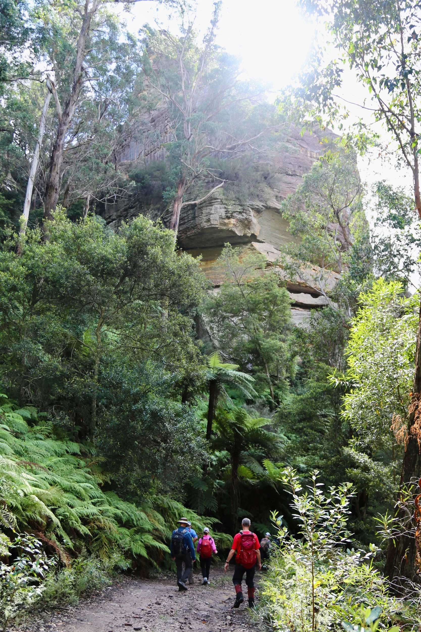
There is also a rock I look for every time.
The rock itself is not especially ornate. It is an enormous, brutally angular block that seems to have dropped from the cliffs into a fern garden and remained there long enough for the forest to organise itself around it.

A familiar boulder beside the trail.
Tree ferns crowd beneath it. Bleached trunks stand around it. Moss has worked across its surfaces and, in the right light, the underside glows sandstone red.
I have developed an entirely reasonable affection for it.
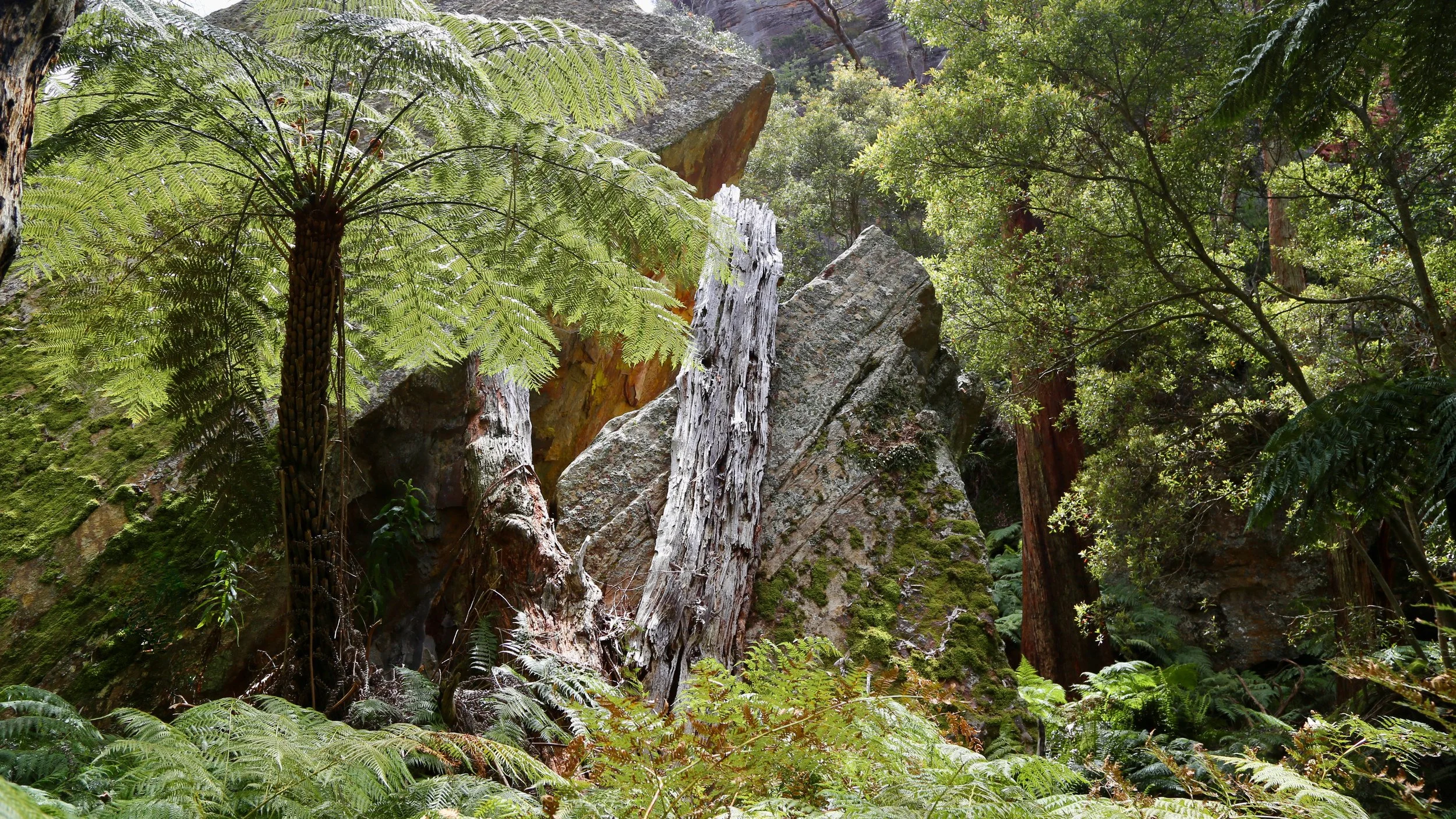
The same boulder, framed by tree ferns and bleached trunks.
The road through this seemingly improbable country has an explanation.
Gold and diamonds were prospected on Genowlan Mountain from the early twentieth century, and the Ribaux family later built tracks onto and across the mesa. Col Ribaux’s search extended almost to Genowlan Point, where workings beneath a basalt outcrop help explain why the old road continues so far north.
The road has outlived its original purpose rather well, at least for those of us who prefer walking to mining.

The fire trail through the green interior of the mesa. Photo: Susan Mai
The trail crosses Genowlan Creek, turns north and begins climbing again. As it gains height, the deep green enclosure gradually falls away. The ferns thin, the sky returns and the road winds between increasingly massive pagodas.
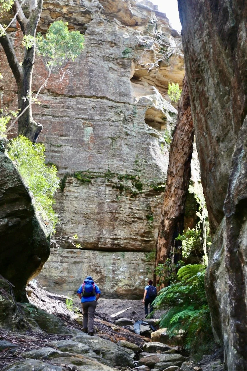
Climbing north from Genowlan Creek.
At Garage Cave, a faint boomerang remains visible on the sandstone wall.
Beyond it the road winds and climbs through the steep sandstone outcrops around the formation marked on the map as the Breadknife.
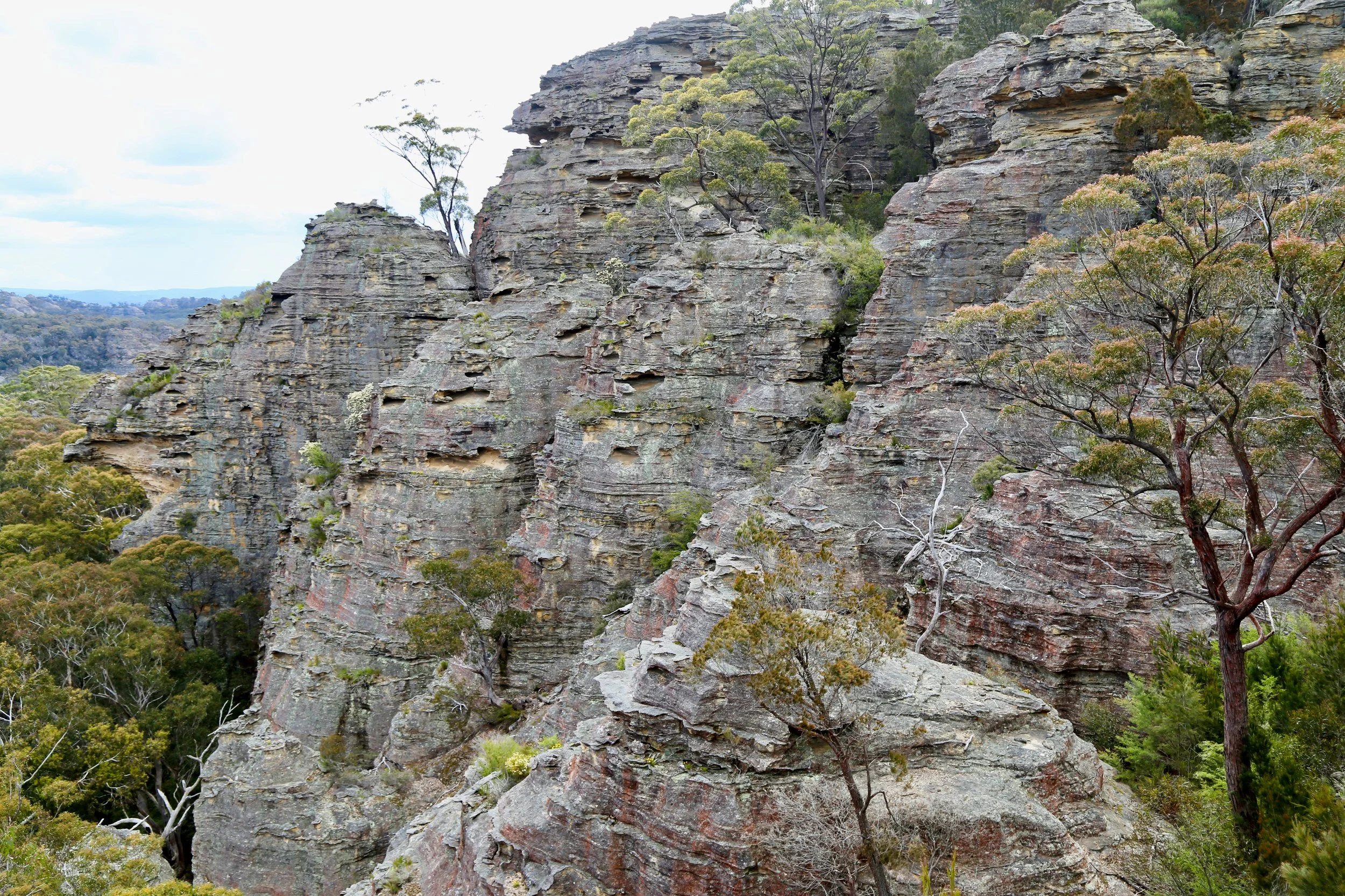
The road winds through sandstone near the Breadknife.
Above them, the country opens.
Looking back towards the south and south-east, the mesa is crowded with pagodas. Beyond them rises Pantoneys Crown. It is already well into the afternoon and the sun is catching its upper cliffs.
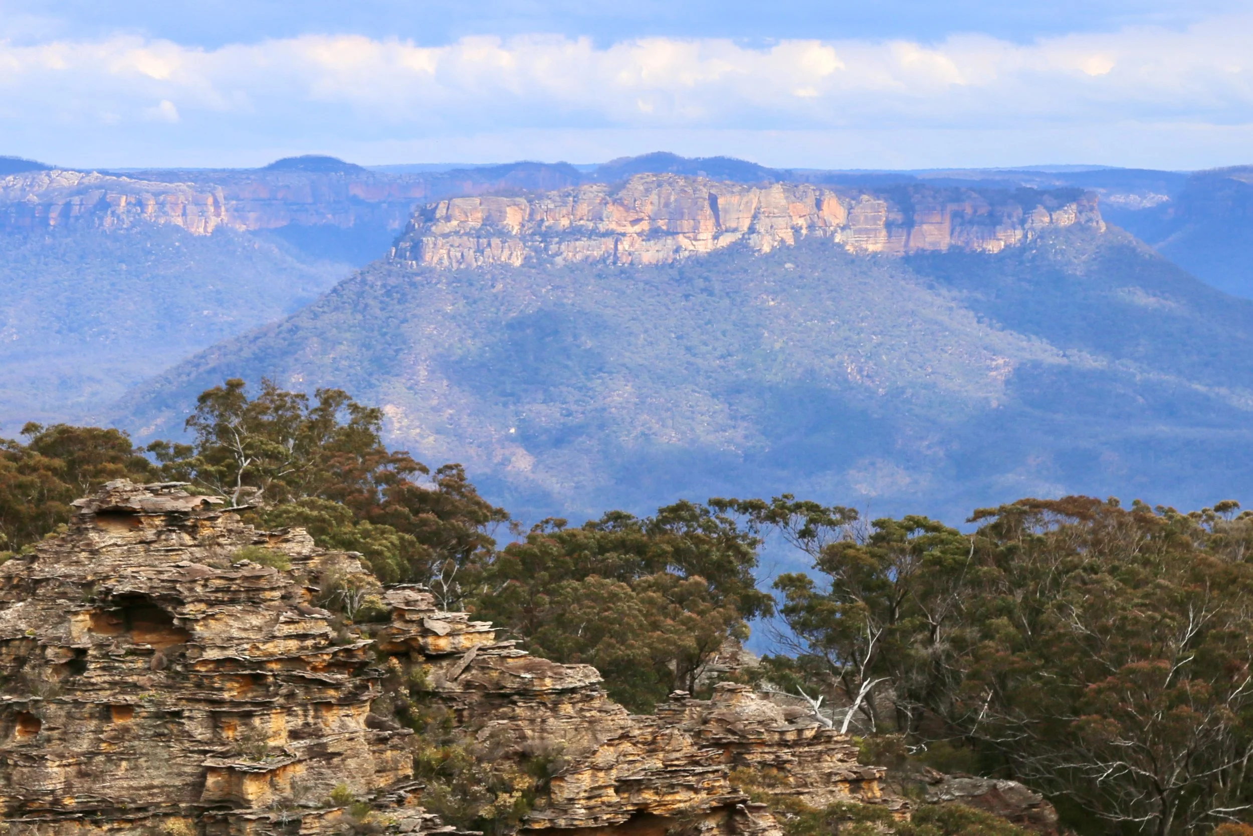
Pantoneys Crown catching the afternoon sun.
Somewhere over there a friend is climbing Pantoneys Crown alone, carrying a pack for a night on the summit. From this distance the whole mountain seems almost close enough to reach.
Genowlan Point projects north into the Capertee Valley, a narrow end to the mesa with cliffs on its western and northern sides and the extraordinary pagoda country of the Mothers Arms to the east.
As we continue towards the Point, the vegetation changes into the distinctive Genowlan Point Allocasuarina nana Heathland. This low, closed heath, dominated by dwarf she-oak, is confined to about ten hectares here and is listed as an endangered ecological community. Its unusual form may partly reflect the ironstone beneath it, which restricts the growth of taller trees.
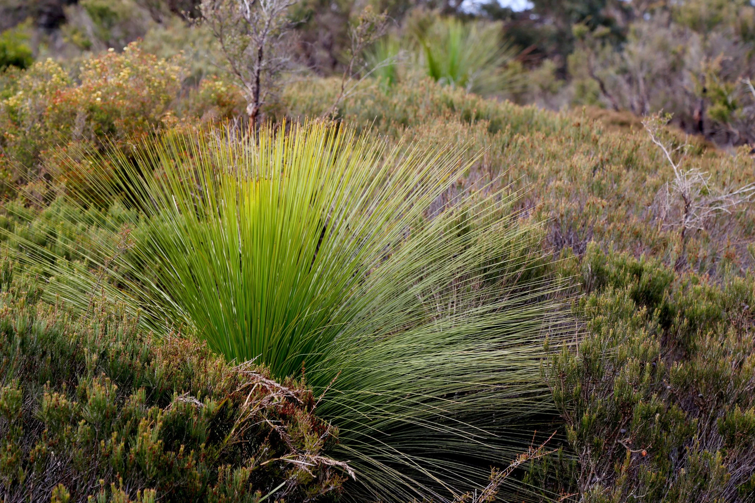
Johnson’s grass tree (Xanthorrhoea johnsonii) among dwarf she-oak (Allocasuarina nana) on the higher northern reaches of Genowlan Mountain.
There are glimpses west towards Point Hatteras and, gradually, more sky between the trees.
Then, about half a kilometre before Genowlan Point, the road brings us unexpectedly close to the western edge.
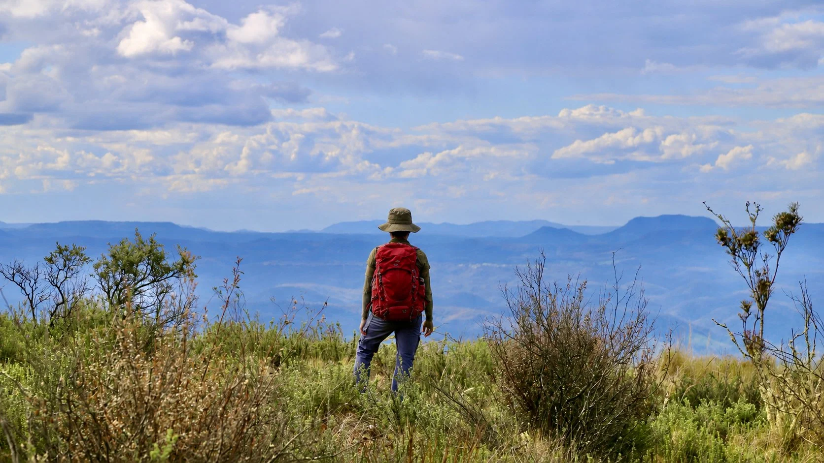
Above the western cliffs of Genowlan Mountain.
The ground simply disappears.
Below us the cliffs fall in huge vertical walls towards the forest. Ahead, the Capertee Valley opens into a succession of ridges, farms, escarpments and blue distance.
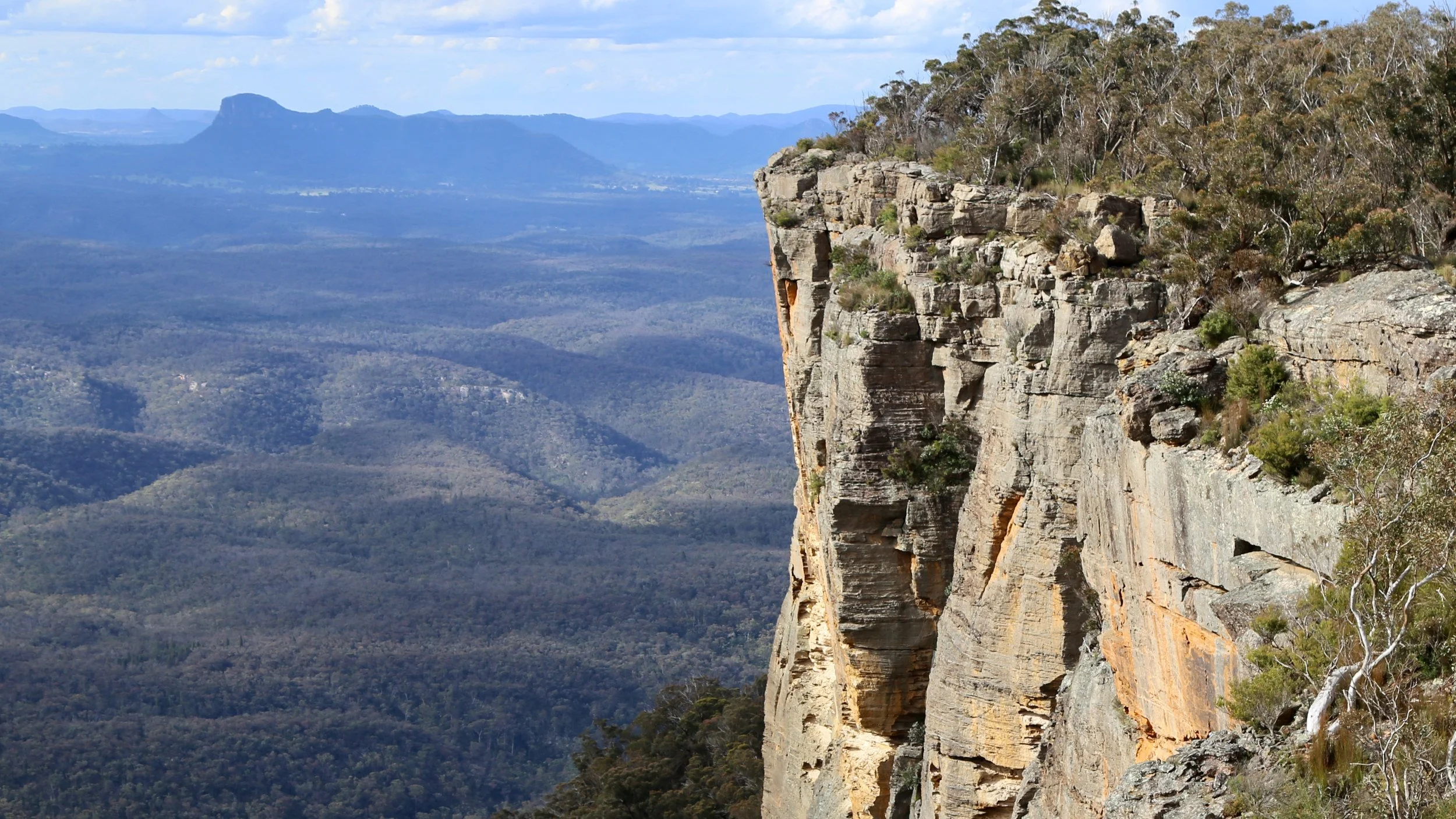
Genowlan Point, looking across the Capertee Valley towards Mount Marsden.
Looking back along Genowlan Mountain, its cliff walls run away towards the south. Far beyond them, tiny among the surrounding pagodas, is the distinctive “nipple” rock above the Valley of the Dinosaurs.
After kilometres spent enclosed by forest and sandstone, the change of scale is startling.
We are not alone. A large goanna is making her own slow progress along the cliff edge.
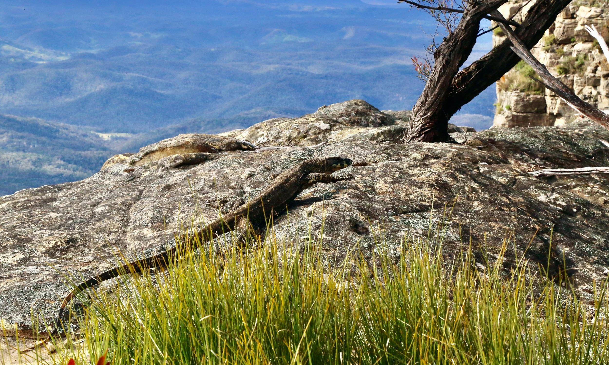
A goanna follows the cliff edge.
At the far northern end of the road, a fence cuts across the narrow neck of Genowlan Point, joining cliff edge to cliff edge. A stile takes us through it.
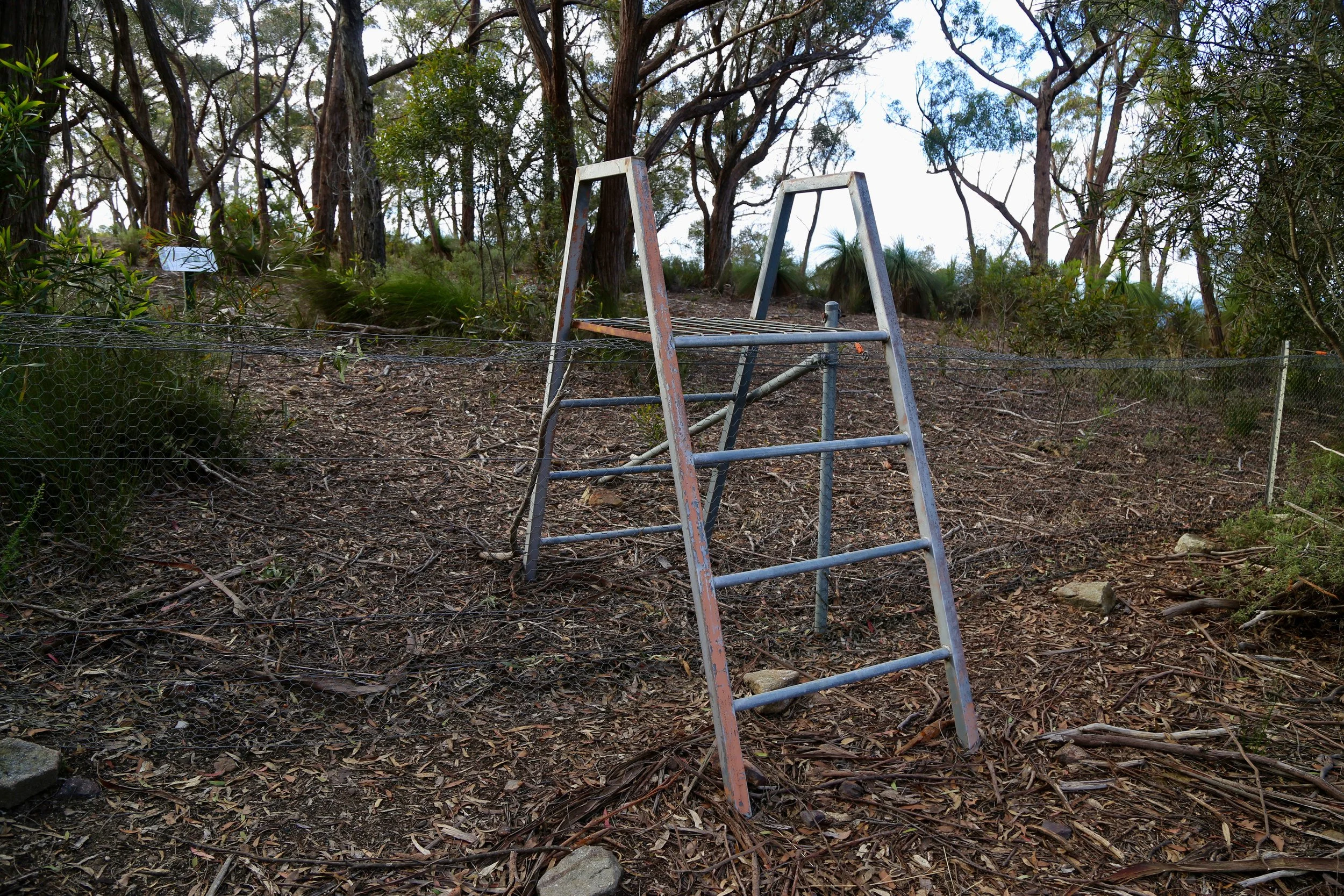
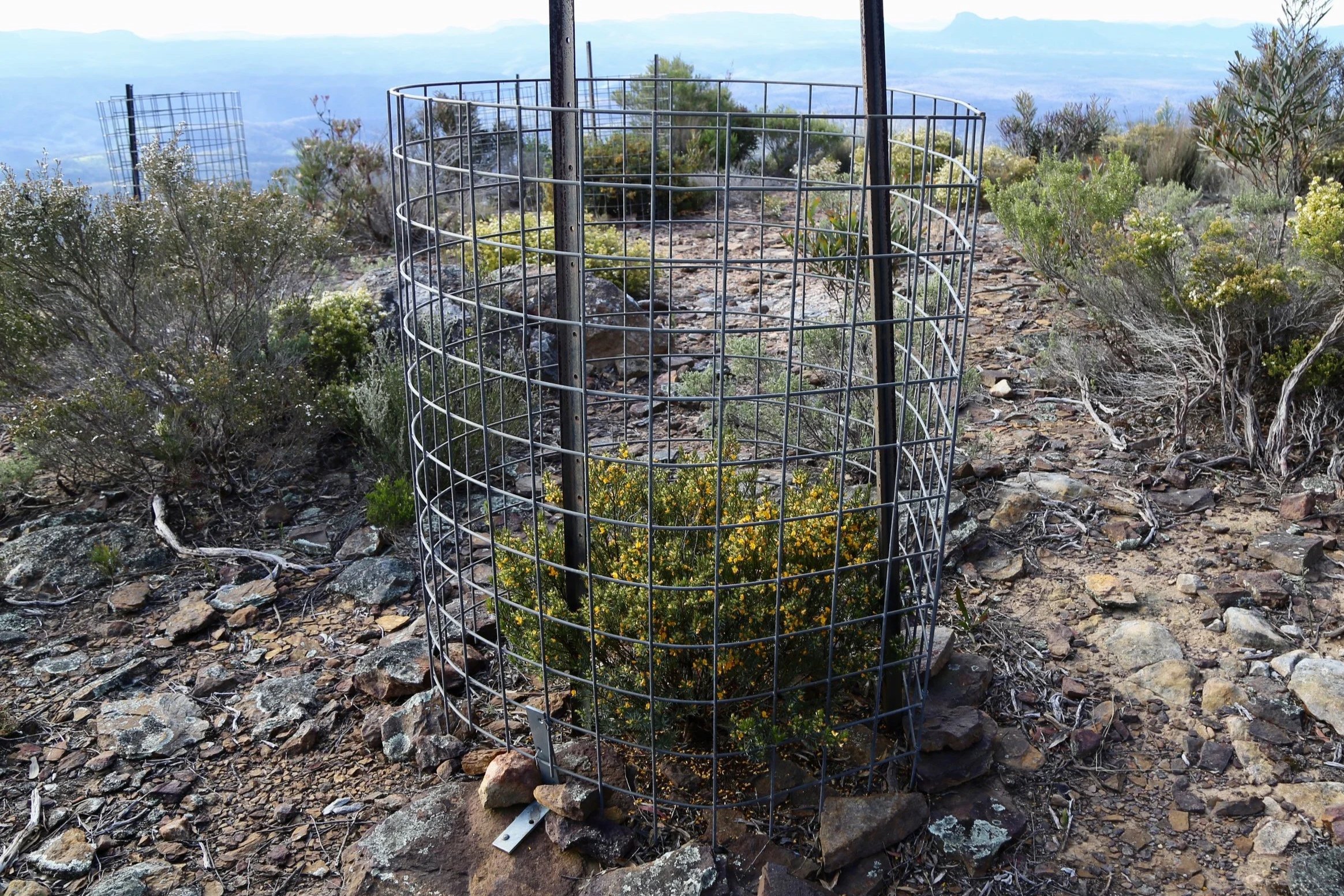
Beyond the stile, individual Genowlan bush-pea plants are protected inside wire cages, while the fence and cliff walls together keep browsing animals away from the tip of the Point.
It is a lot of protection for something very small. The yellow-and-red pea was once known simply as Pultenaea sp. Genowlan Point. It now has a formal botanical name: Pultenaea praecipua subsp. praecipua.

Protective cages around rare plants at Genowlan Point.
Beyond the bush-pea plants, we finally run out of mountain. From this northernmost tip, the view opens to 180 degrees.
The Capertee Valley spreads below us. Tayan Pic rises to the north-east. The Capertee River winds away towards Wollemi National Park, while to the north and west the valley is broken by isolated mountains, long escarpments and patches of improbably green farmland.
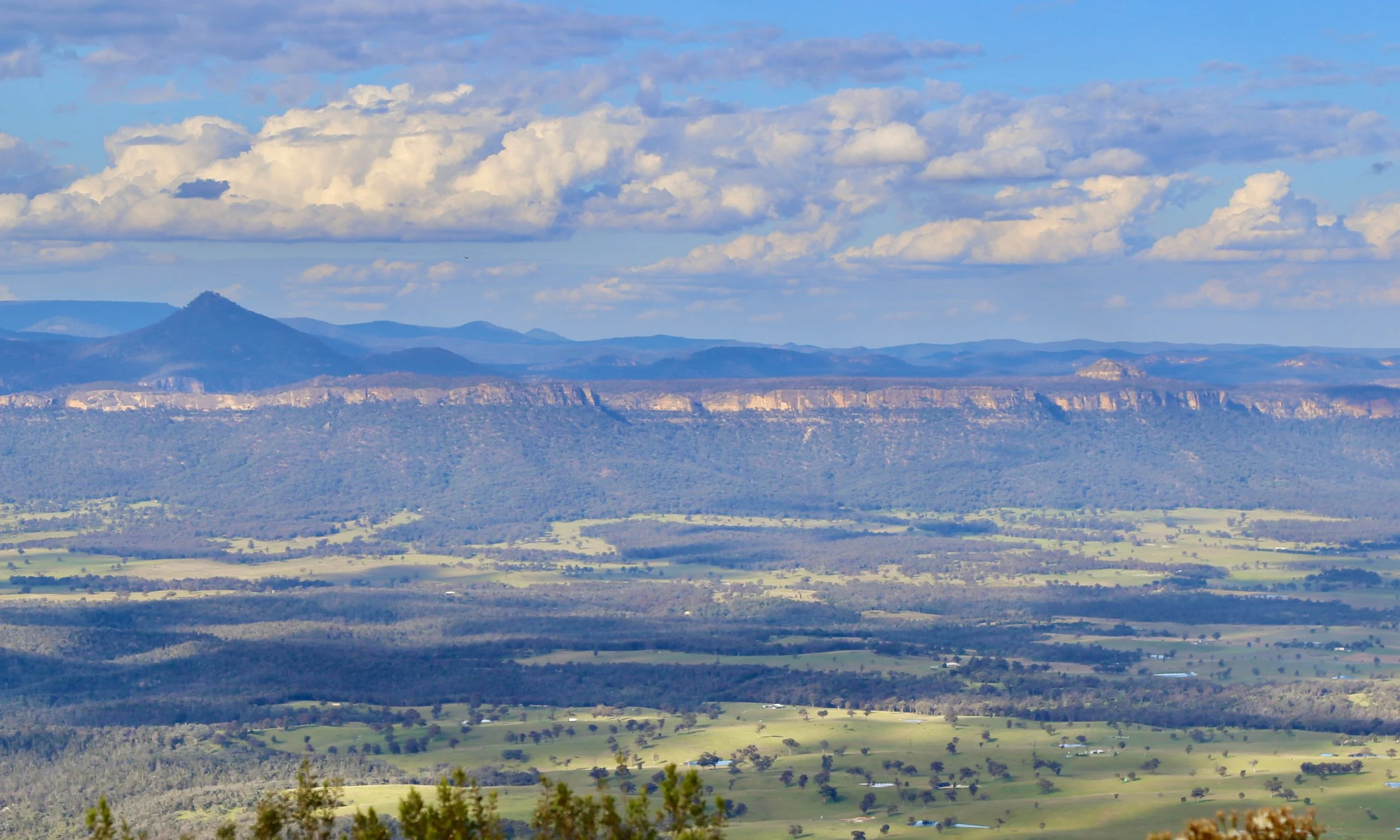
The Capertee Valley from Genowlan Point.
We have followed the road for over eight kilometres to reach this point. Now we have to follow it all the way back.
It is late enough. Reaching the car before dark seems unlikely, but for once that is not much of a concern. There is no route-finding problem, no scrub to fight and no complicated off-track descent ahead — just a clear fire trail beneath our feet and, just in case, head torches in our packs.
Back in the Genowlan Creek gullies, the ferns and fallen boulders are unchanged, but shafts of late light now reach between them. After the final climb out of the gully and the long traverse west, familiar country from only a few hours earlier looks different enough to make us stop again.
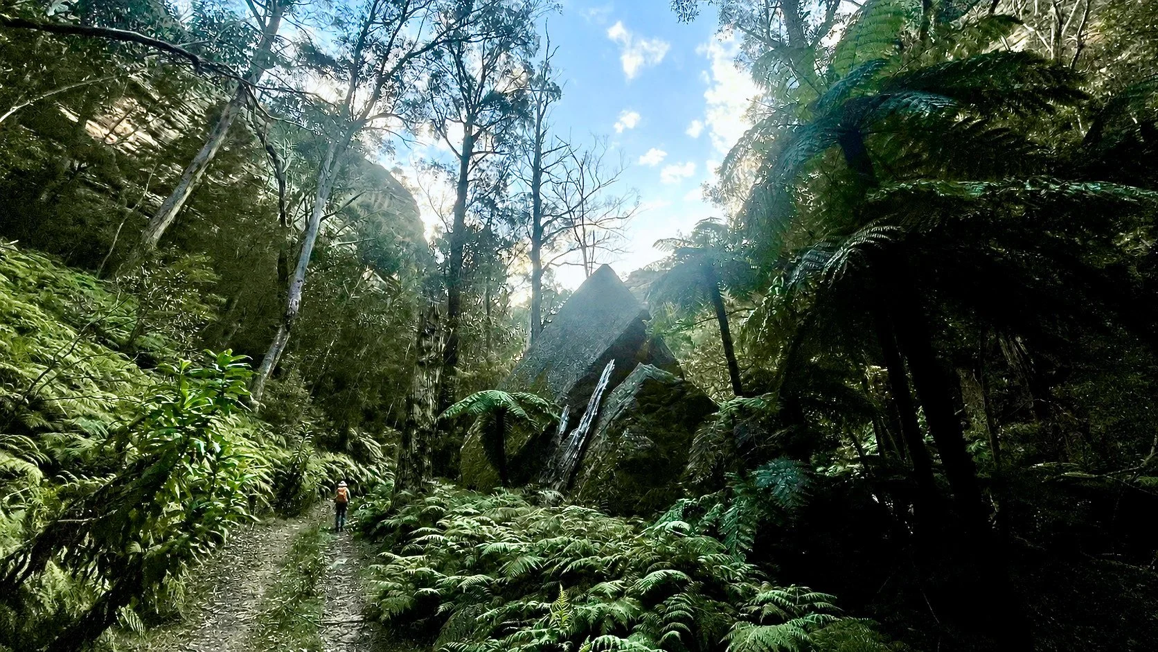
Returning through the Genowlan Creek gullies in the late light.
The lateness of the hour brings its own reward. As we head south, the lowering sun begins to reach across the mountain. Looking back, the long northern arm of the mesa stretches towards Genowlan Point, its vast western wall turning yellow, then orange.

Late sun on the western cliffs of Genowlan, looking back over country we had crossed earlier in the afternoon.
Farther on, the forest falls into shadow while the last light catches the cliffs and pagodas above. In places only their tops remain lit, glowing through silhouetted trees like small fires above the canopy.
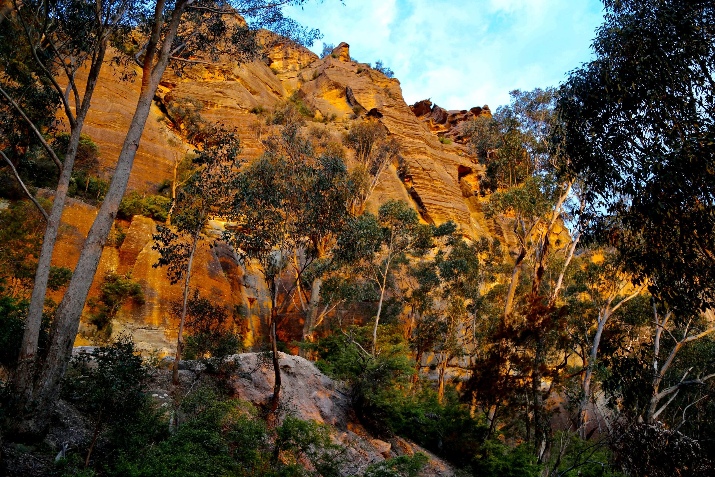
Cliffs catching the last light above the darkening forest.
Eventually the road begins its descent.
Near the end it reaches the same break in the cliffs through which we had entered Genowlan earlier in the day.
By now the sun is almost gone. Its last light reaches between the eucalypts and catches the sandstone walls in red and orange.
We pass between them and continue down towards Glen Davis Road.
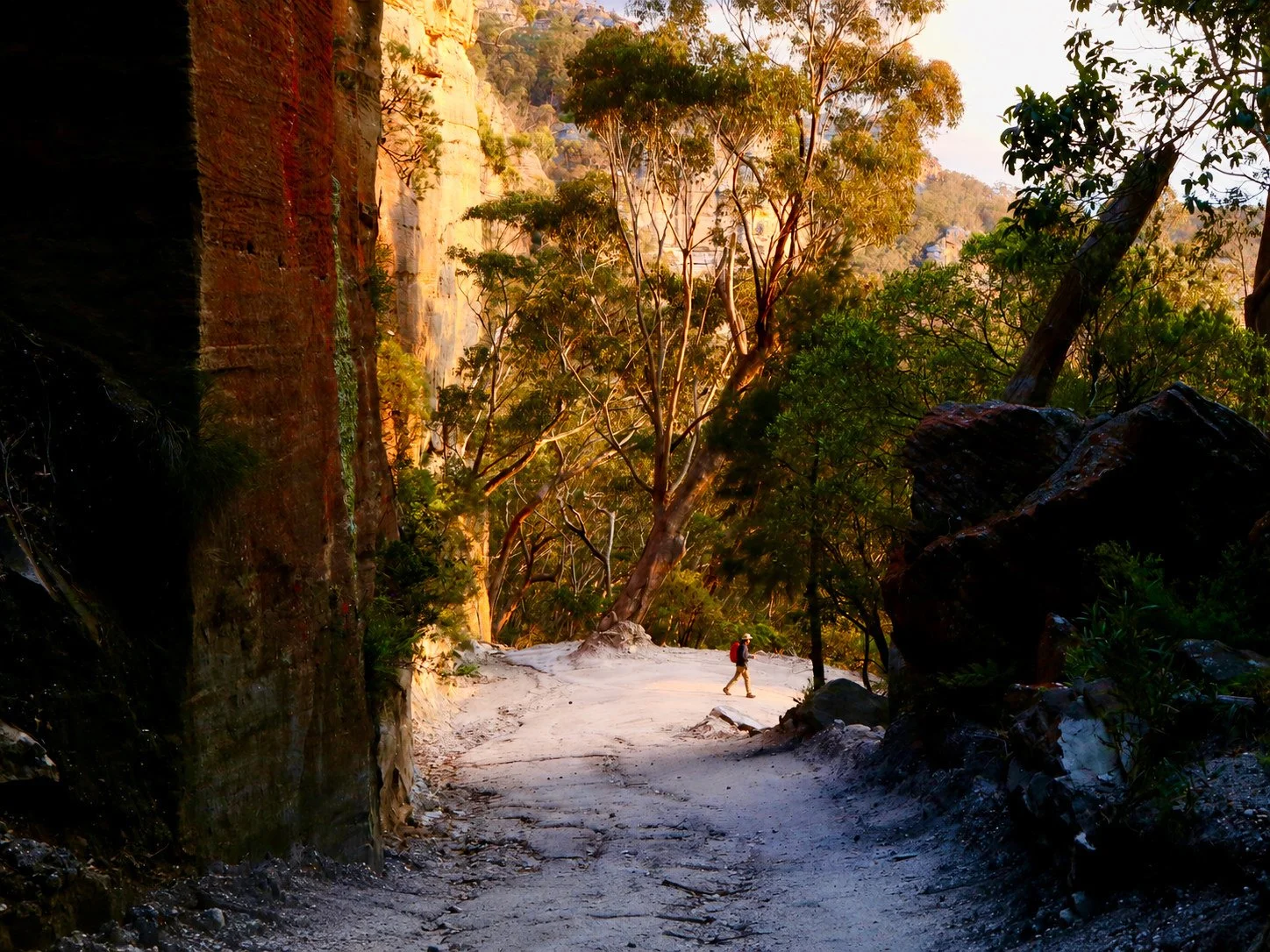
The final descent through the cliffs as the light fades.
Topographic Map

Trace prepared by Sandstone Symphony. Map source: NSW Spatial Services, Glen Alice, 1:25,000 Topographic Map 2025. © State of New South Wales.
Aerial Map
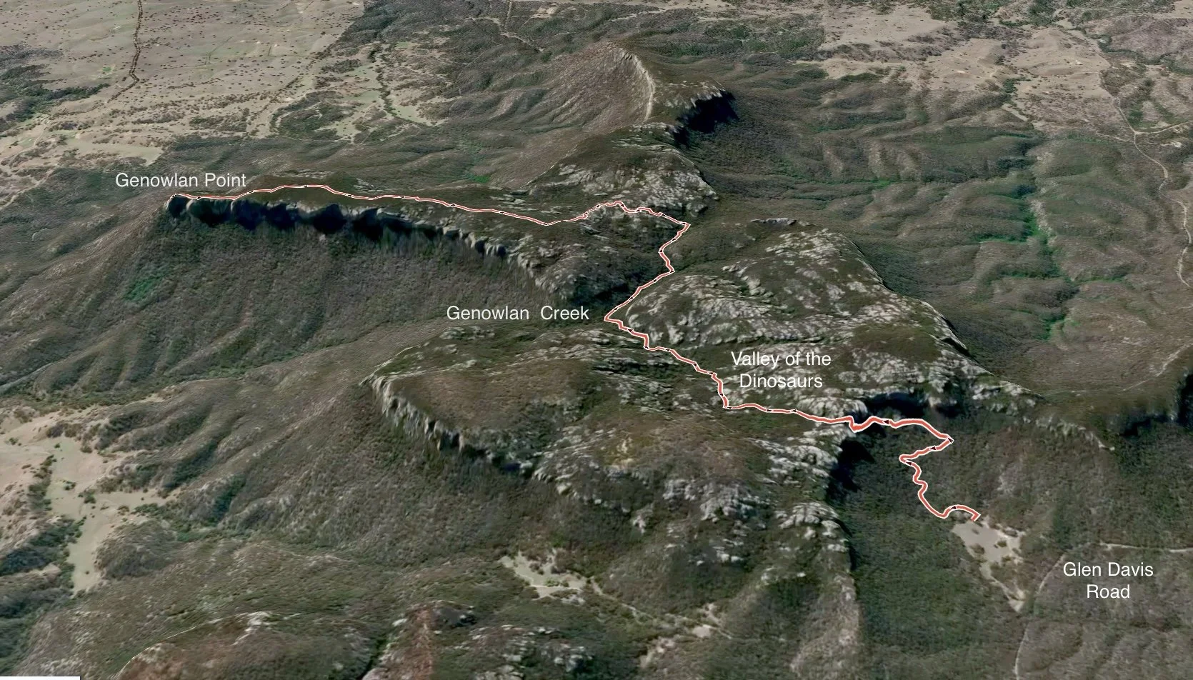
The route across Genowlan Mountain to Genowlan Point, showing the descent into Genowlan Creek and the long northern arm of the mesa.
References and further reading
NSW Government, ‘Genowlan Point Allocasuarina nana Heathland – profile’, Threatened Species, updated 7 September 2017, accessed 5 September 2026.
Dingo Gap, ‘Genowlan Point’, Dingo Gap, updated 6 May 2019, accessed 5 September 2026.
Michael Keats, Brian Fox and Yuri Bolotin, A Bushwalking Paradise: Mugii Murum-ban SCA, Design Portfolio Pty Ltd, 2021.