Water and Stone
The America Bay and Topham tracks become the beginning and the end of a longer journey through waterfalls, sandstone shelters and the cliff-lined waterways of Ku-ring-gai.
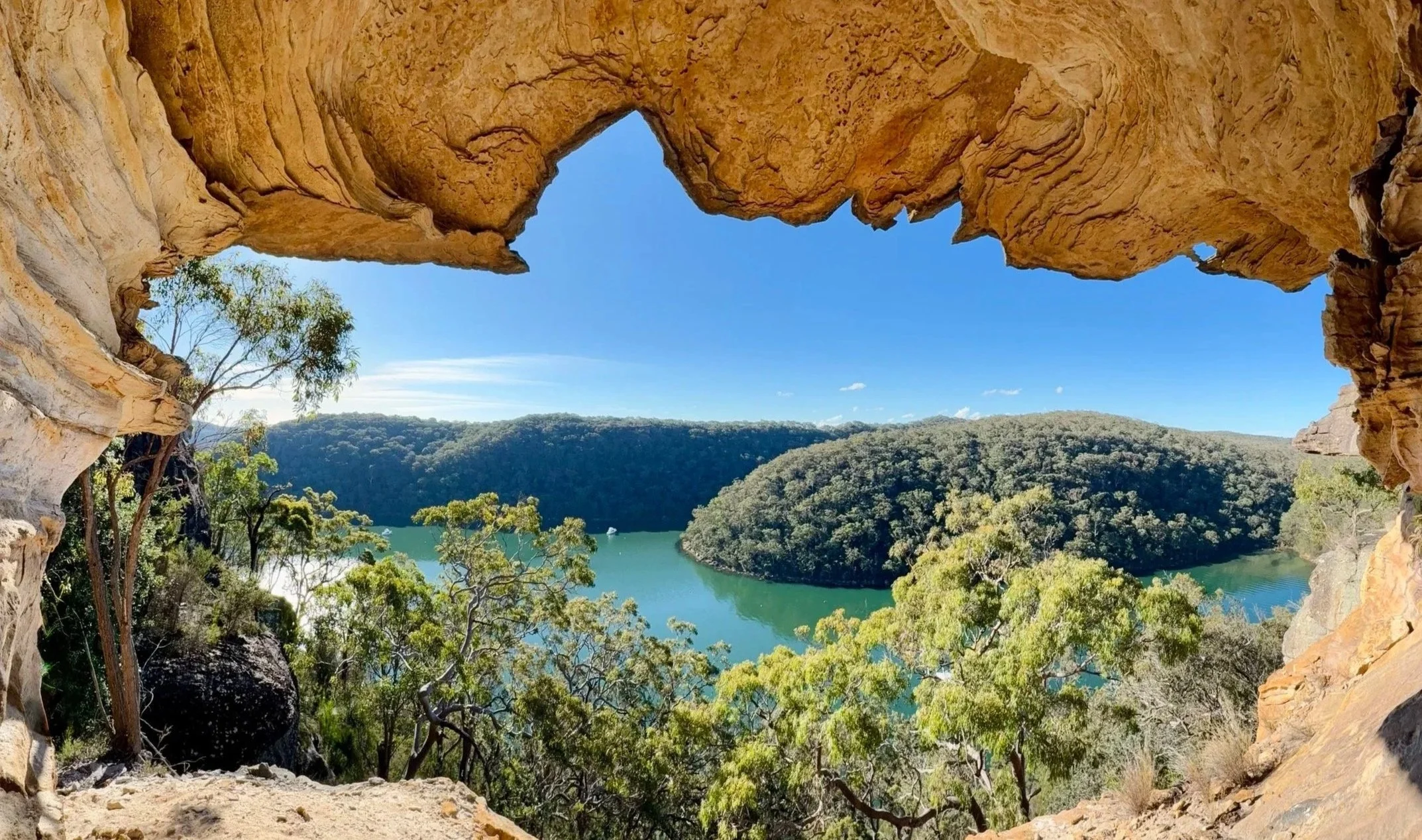
The view from the Golden Balcony
-
Location: Ku-ring-gai Chase National Park, NSW
Walk: America Bay Track · shoreline traverse · Topham Track (off track between)
Distance: Approximately 6 km
Time: 6–7 hours (including photography and exploration)
Elevation gain: Approximately 220 m
Grade: 4 (off-track sections, steep terrain and some exposure)
Navigation: Established tracks linked by off-track navigation beneath the cliffs. Route-finding experience recommended.
Map: NSW Topographic 1:25,000: Broken Bay
Season: Winter is particularly rewarding, with cool walking conditions, flowing creeks and low afternoon light on the western cliffs. Low tide is recommended for the shoreline traverse.
Highlights: Aboriginal engravings, America Bay Falls, tidal foreshore, sandstone overhangs, the Golden Balcony and the long cliff traverse above Cowan Creek.
The America Bay and Topham tracks follow a familiar Ku-ring-gai pattern. Trails run along a ridge towards the water, reach a lookout or cliff, then return the same way.
We intended to use them differently — as the two ends of a longer walk linking the shoreline and cliffs between them.
The route lay on the western side of the Lambert Peninsula. Between the two established tracks lay the more interesting terrain: waterfalls, tidal shoreline, thick scrub and a long traverse beneath sandstone cliffs above Cowan Creek.
The morning began in mist.
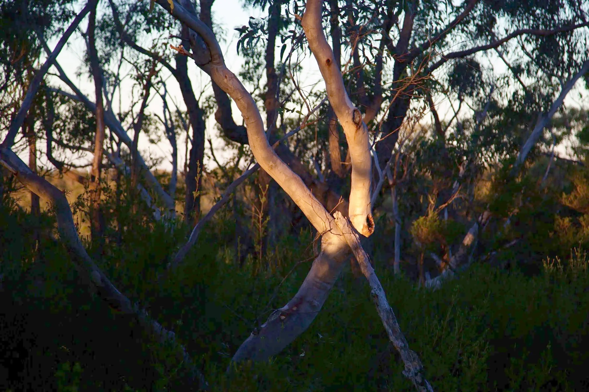
Scribbly gums stood pale against the damp bush, their smooth trunks almost luminous in the grey. It was a cold morning, although the day would later become unexpectedly warm for July, particularly where the western cliffs caught the afternoon sun.
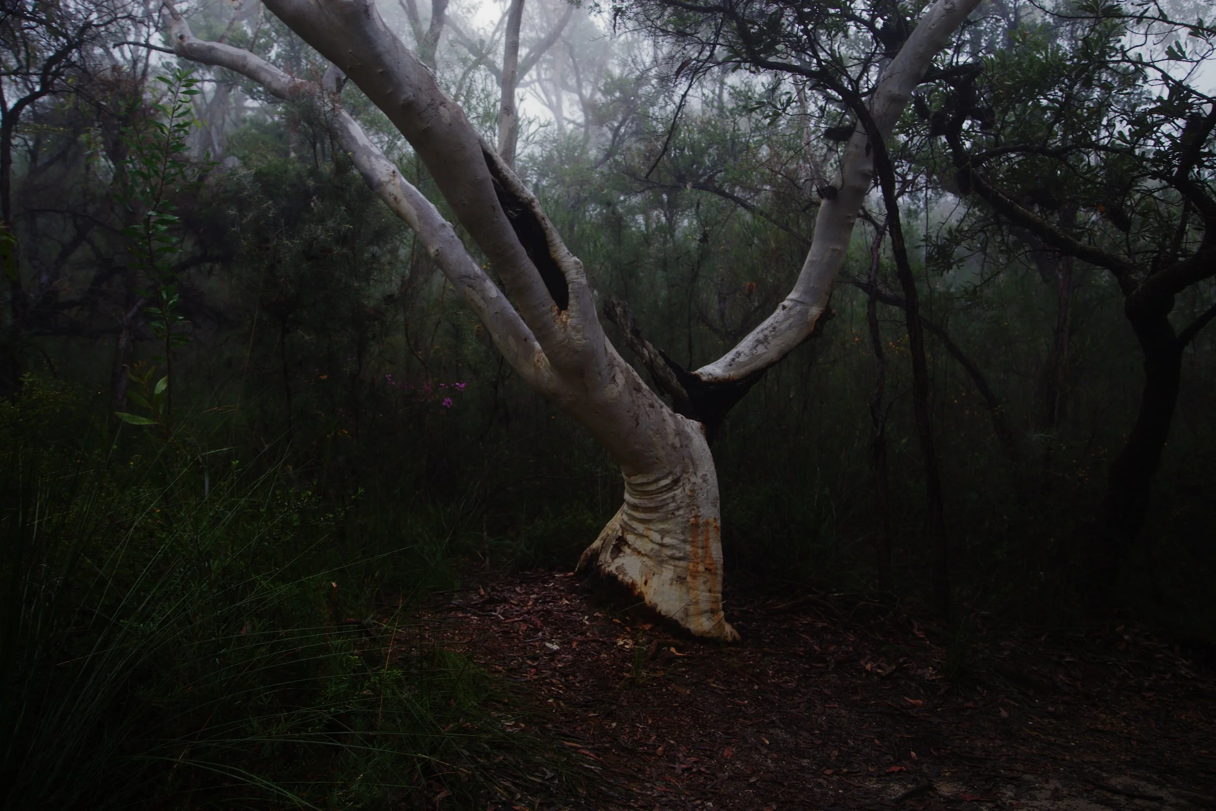
The morning began in mist along the America Bay Track.
Short side tracks led to two broad sandstone platforms carrying extensive Aboriginal engravings.
Rain had darkened the rock and gathered in its shallow grooves, making many of the figures unusually clear. Human and animal forms appeared across the platforms, some immediately recognisable, others requiring time and a change of viewing angle.
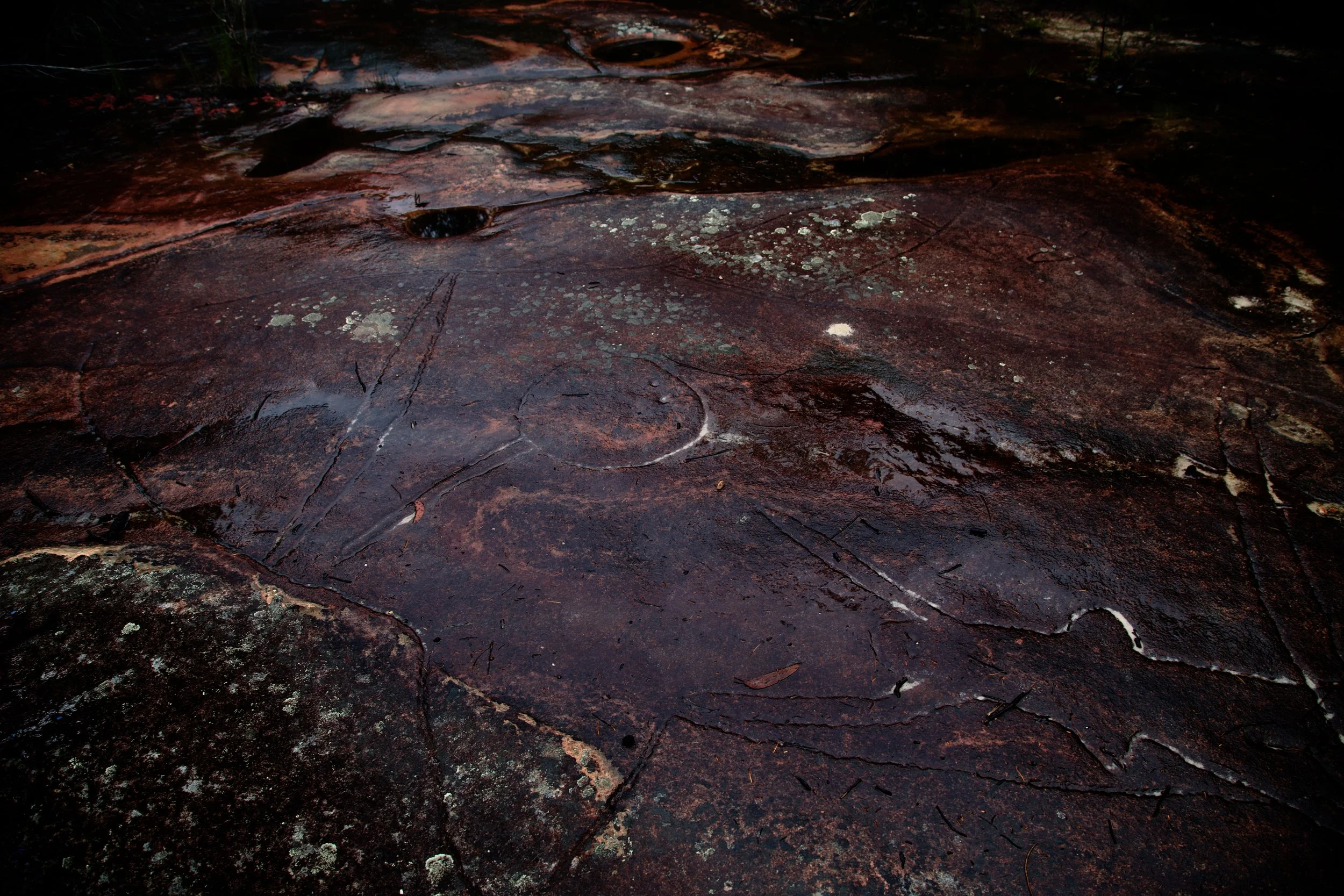
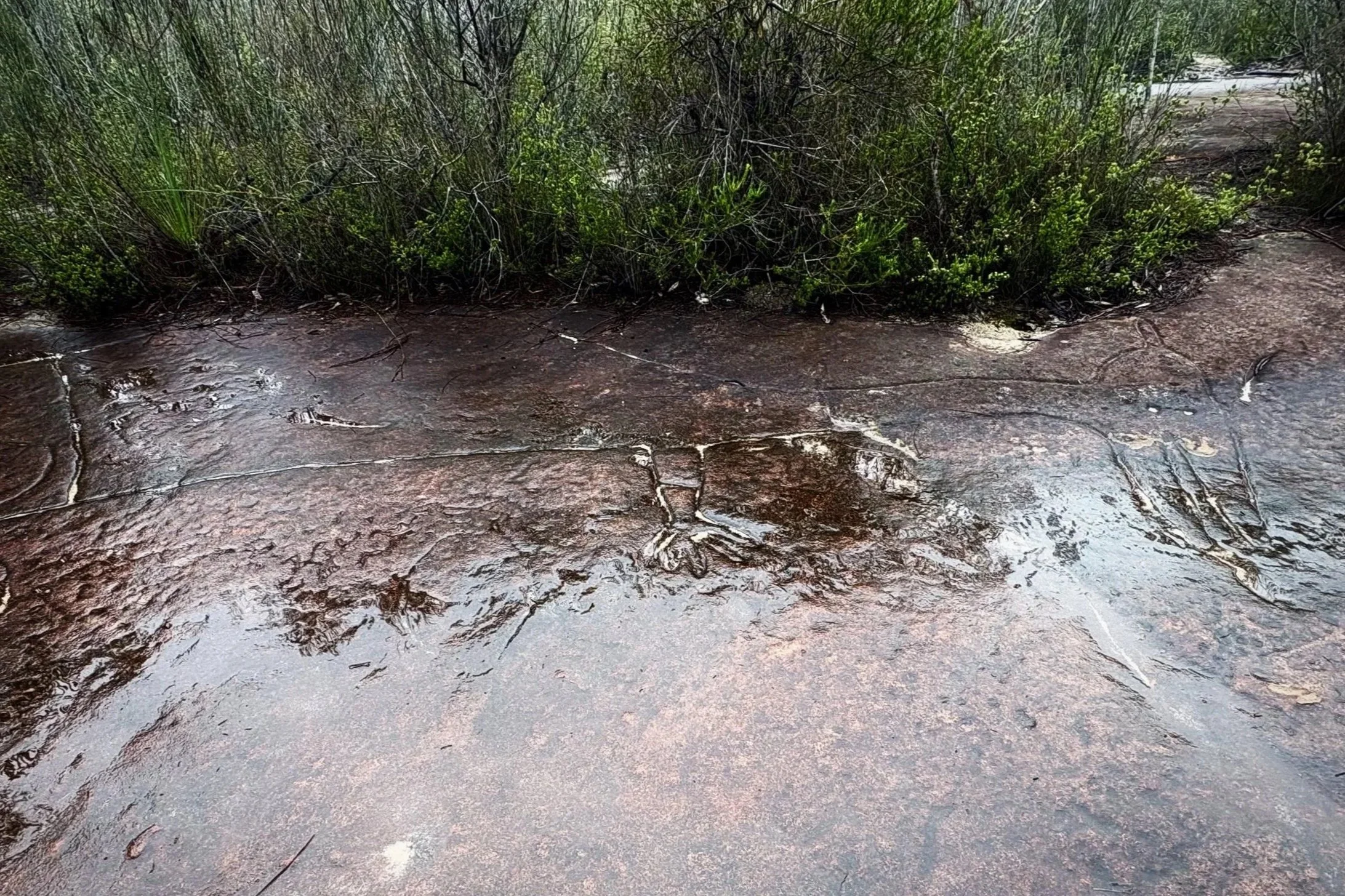
We stayed for some time. The engravings were more than outlines in the sandstone; seeing them here, spread across open rock above the waterways, was very different from the same lines reproduced in a photograph.
The America Bay trail continued mainly west, with a slight turn north. After the week’s rain, several small streams crossed it, and the sound of running water drew us towards pools, cascades and modest waterfalls on either side of the ridge.
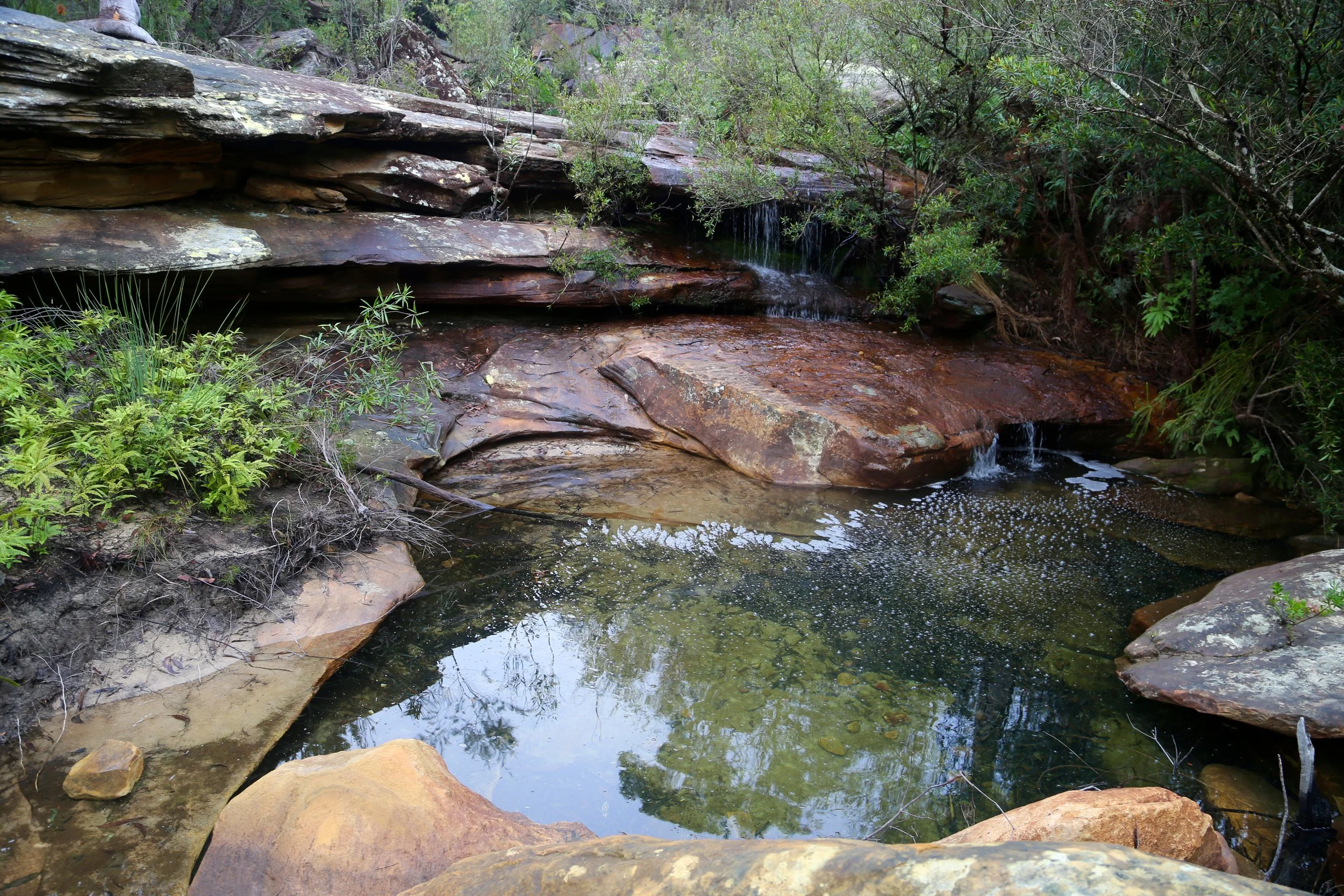
The creek gathering itself above America Bay Falls.
The official trail eventually delivered us to the broad rock platforms above America Bay.
Water moved through low cascades before disappearing over the main cliff. Beyond it, America Bay opened into Cowan Creek, a name that understates the scale of the waterway, while the opposite slopes remained partly obscured by mist.
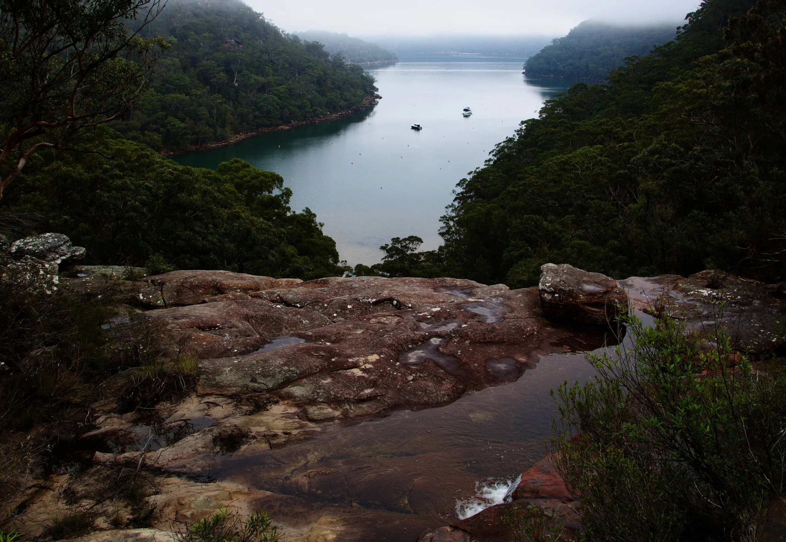
America Bay from the top of the falls, still enclosed by morning mist.
The group spread across the upper ledges, exploring the cascades, taking photographs and looking out across America Bay towards the misty ridges beyond.
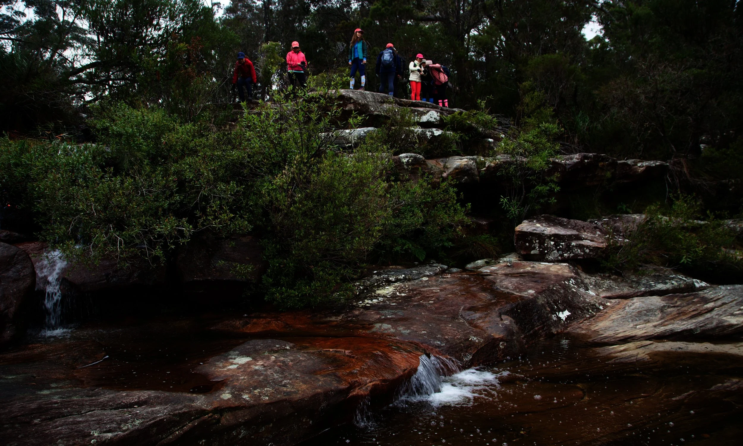
Above the cascades, looking over America Bay.
At the edge, the creek dropped over the cliff towards the boulders below.
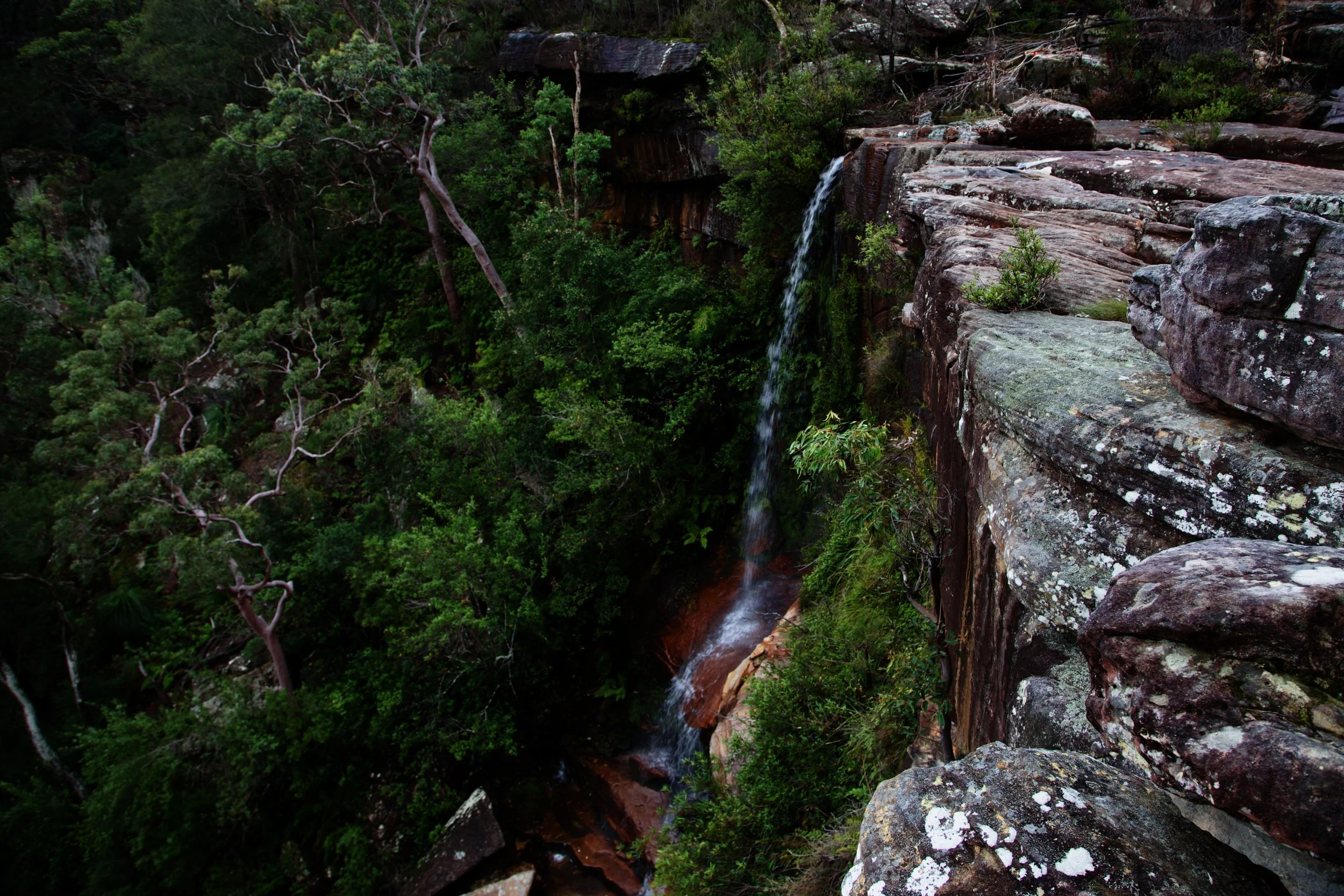
America Bay Falls dropping from the edge of the plateau.
The view from above was impressive, although the base of a waterfall is always the main event.
A sign discouraged further progress. Its advice was noted.
We followed the broad platform west until a break allowed us through the cliff. Once below it, I stayed high and traversed back via the cliff base towards the falls. The others descended farther down the slope, then cut across to the creek and worked their way upstream through the boulders.
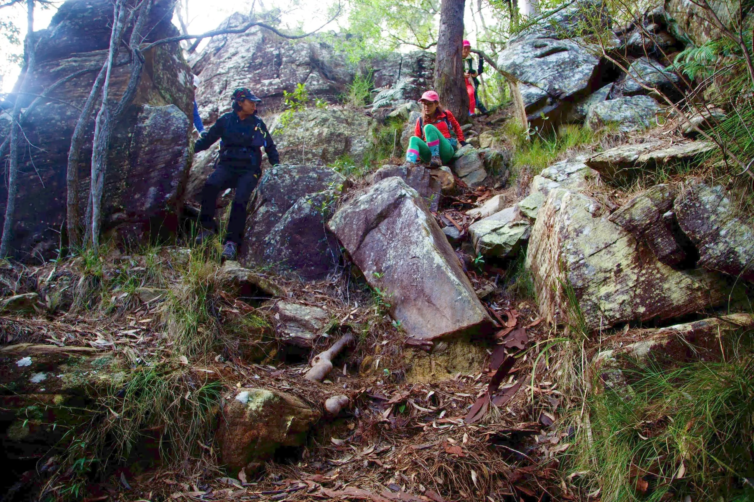
Beginning the descent through a break in the cliff.
I reached the falls quickly and had ample time to feel satisfied with my route choice. The other route provided considerably more opportunities for collaborative problem-solving.
Through the trees came the first clear view of the falls: water dropping against dark sandstone as sunlight began to enter the gully.
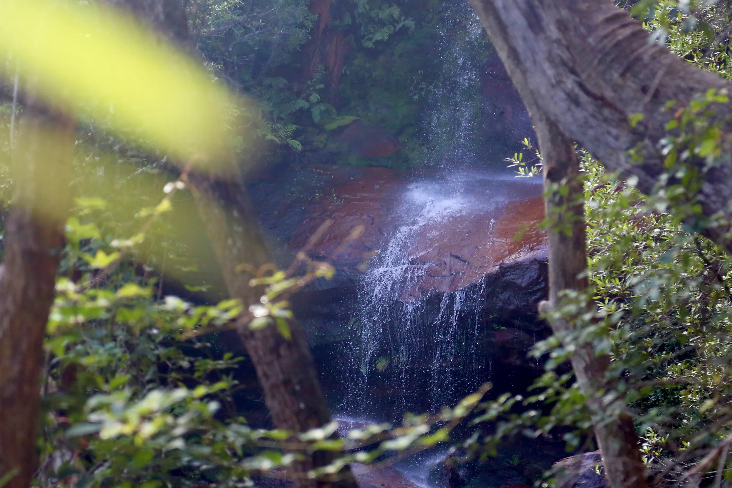
A first glimpse of the falls through the trees.
Eventually the rest of the group appeared among the boulders below.

The lower route provided more opportunities for problem-solving.
America Bay Falls was running well. Water dropped from the upper cliff, struck a broad sloping shelf and separated into smaller curtains before continuing through the rocks below.
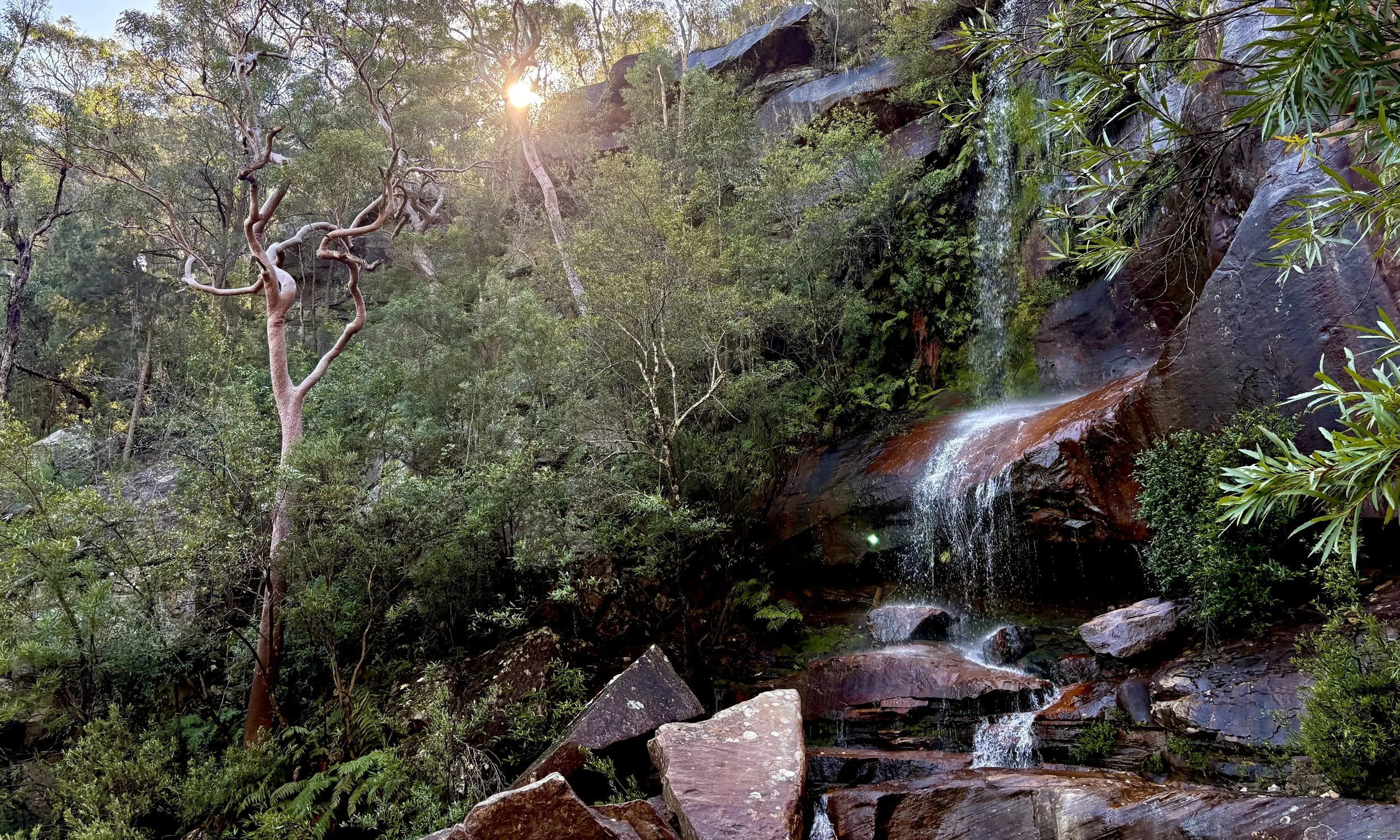
The sun breaks through onto the falls.
The broad platform at the base offered secure footing, but the sloping rock beside the falling water was extremely slippery and required care.
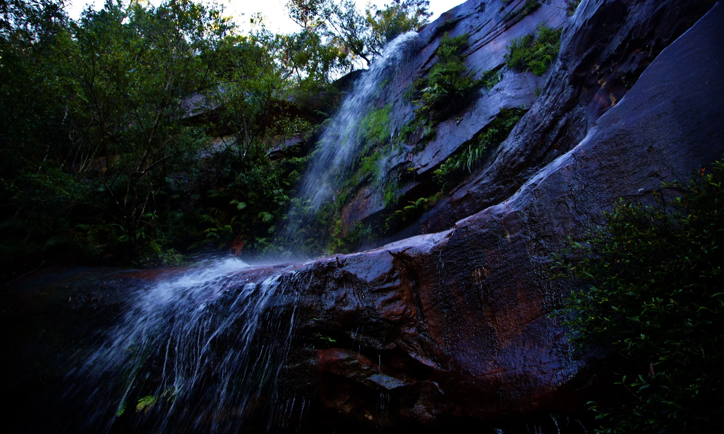
At the base of America Bay Falls.
Morning tea was taken at the falls. So were many photographs.
By then, the day was changing. The mist was clearing from the bay, revealing blue water and sharply defined ridgelines where there had previously been only grey distance. Shafts of sunlight began reaching through the trees.
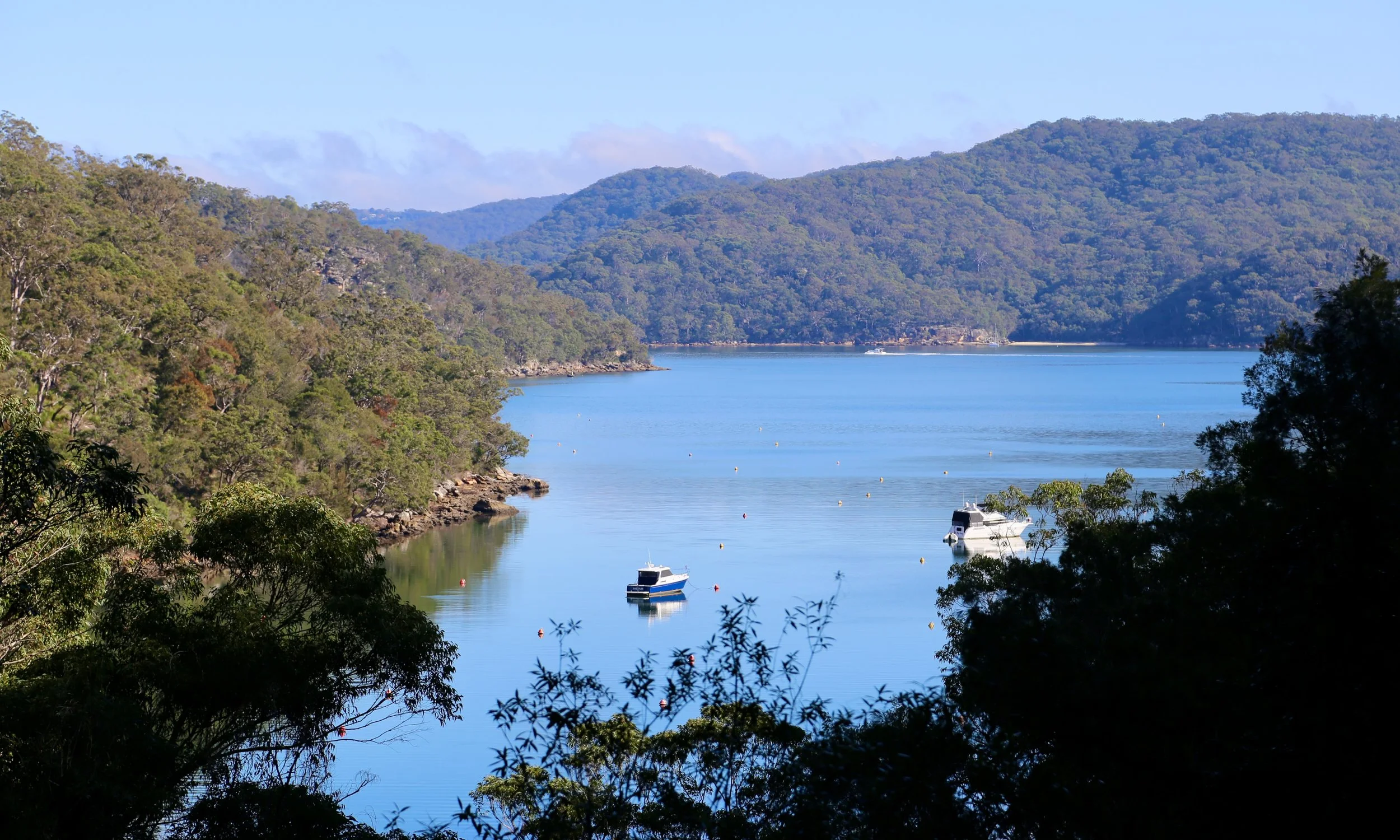
America Bay viewed from the base of the falls — by late morning, the mist had cleared from America Bay.
From the falls, we followed the creek down towards the shoreline.
The walk had been timed for low tide, but progress was slower than expected. The foreshore combined slippery rock with razor-sharp oysters and barnacles, the hazards apparently working in cooperation.
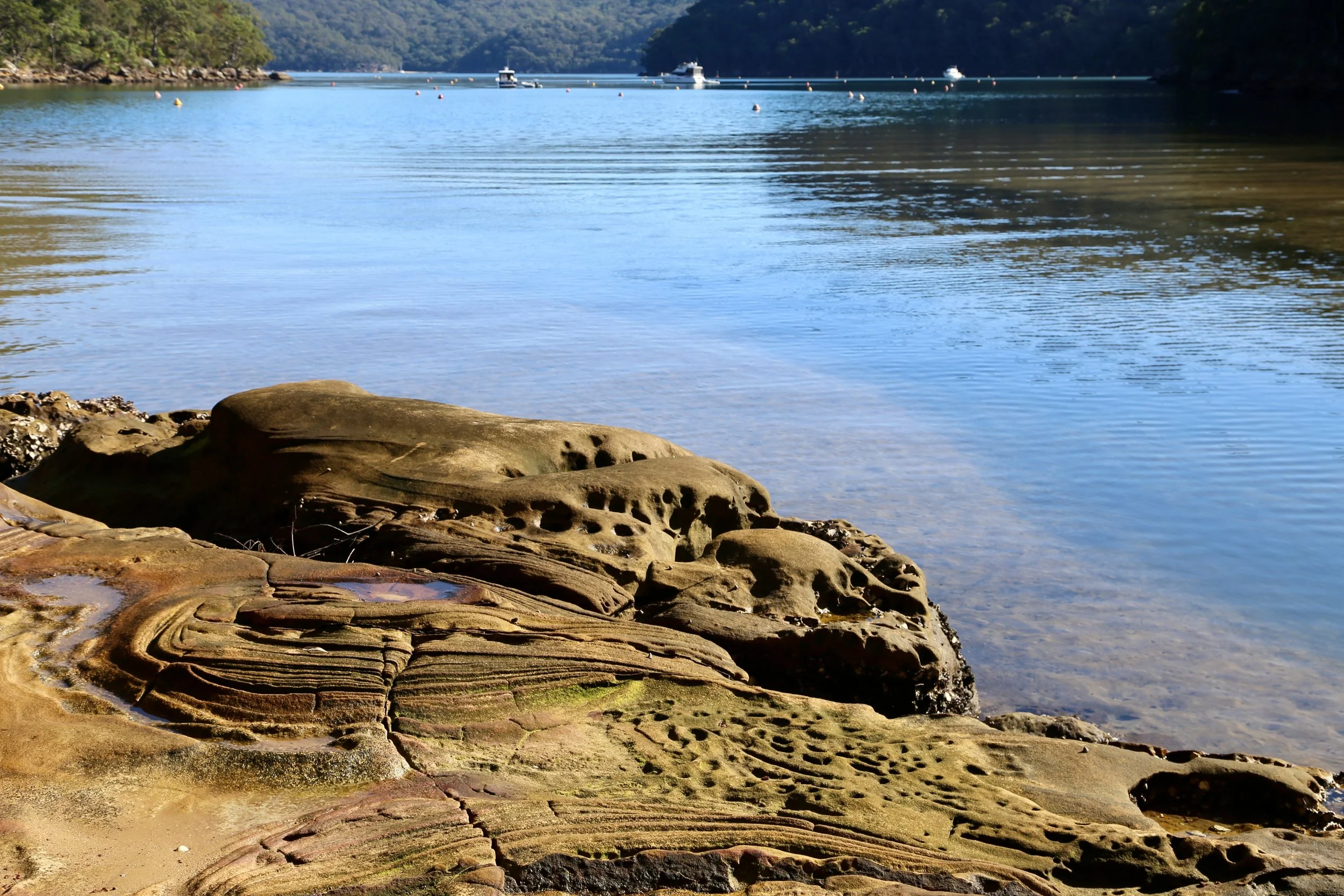
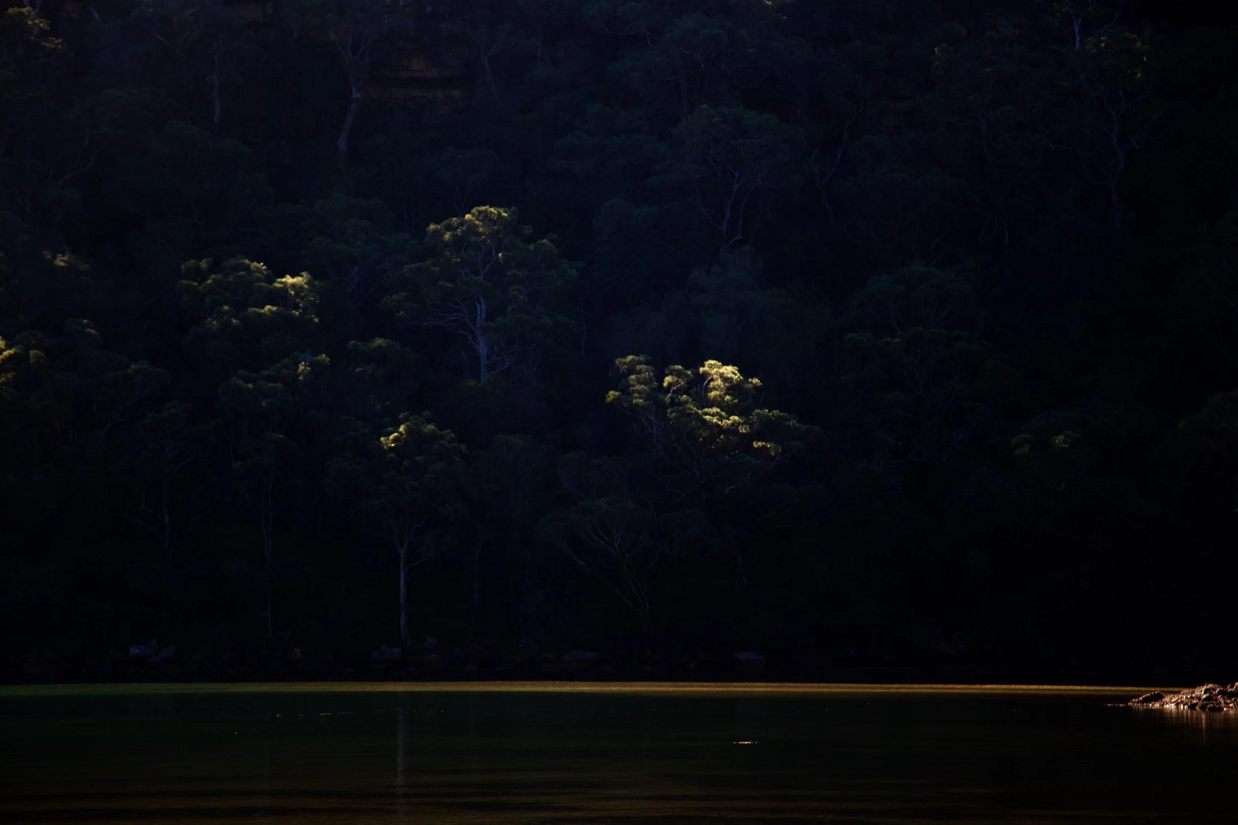
A few oysters were opened and sampled along the way. They came naturally salted, with no further accompaniments provided.
Behind the shore, another trickle of water could be heard among the trees. A short scramble uphill revealed a small waterfall spilling from a cliff, lit by the newly arrived sun.
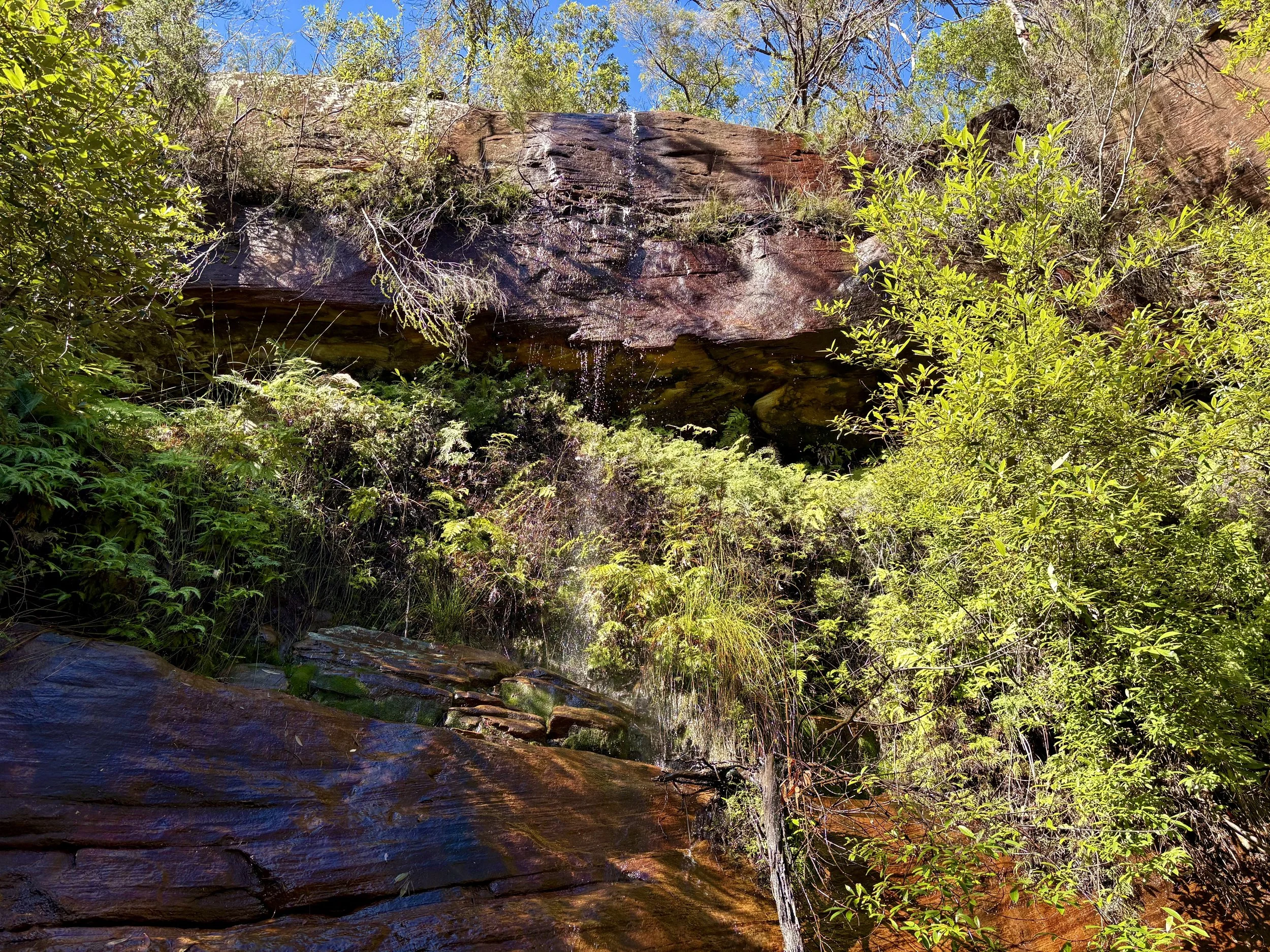
A smaller fall encountered above the shore.
We continued around the bay before leaving the foreshore and heading directly up a very subtle but steep spur.
The water dropped quickly below us.
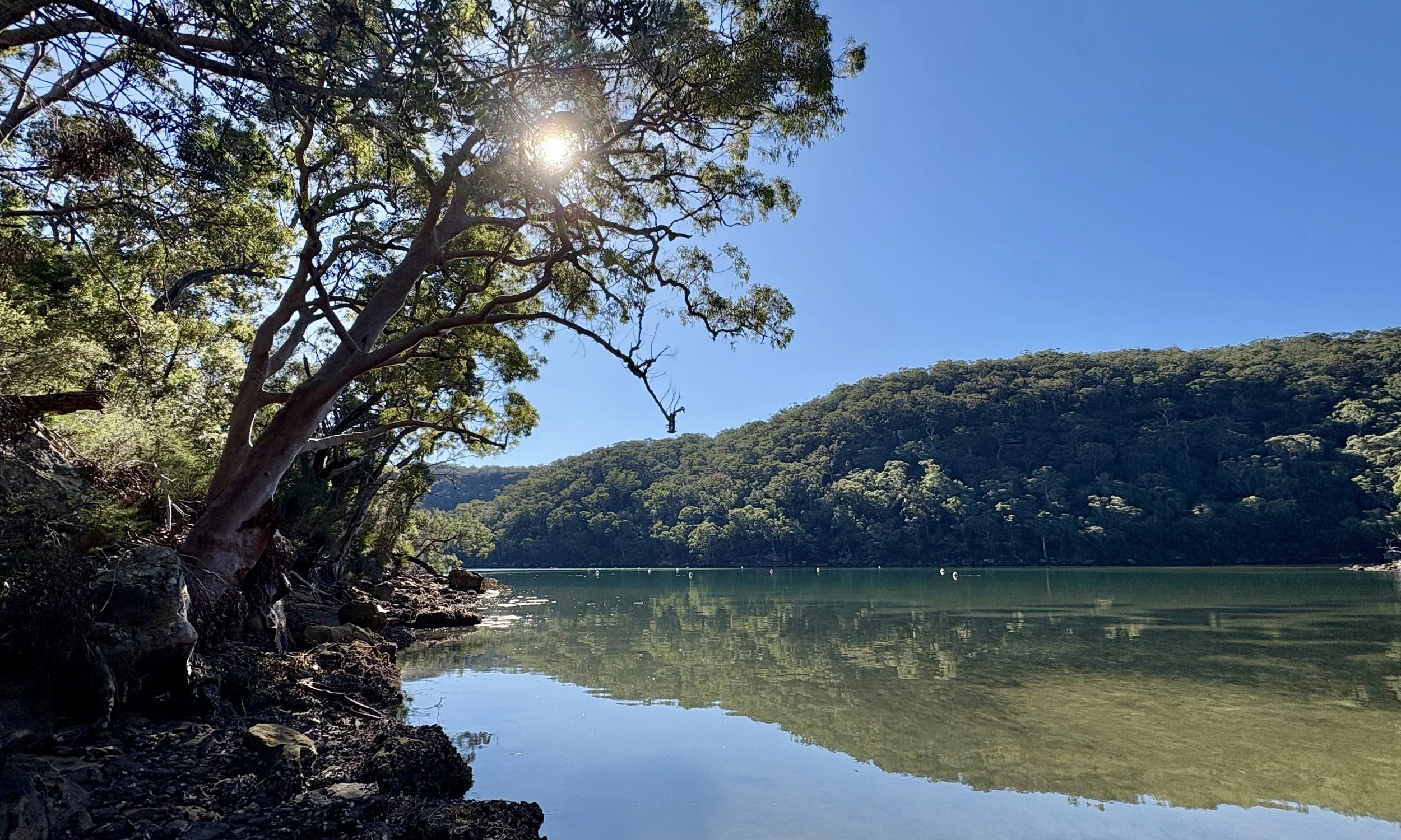
Still water beneath the angophoras.
The climb was steep, over uneven ground and through thick scrub. Grass trees concealed much of the ground while also providing useful handholds, assisting us through the difficulties they had created.
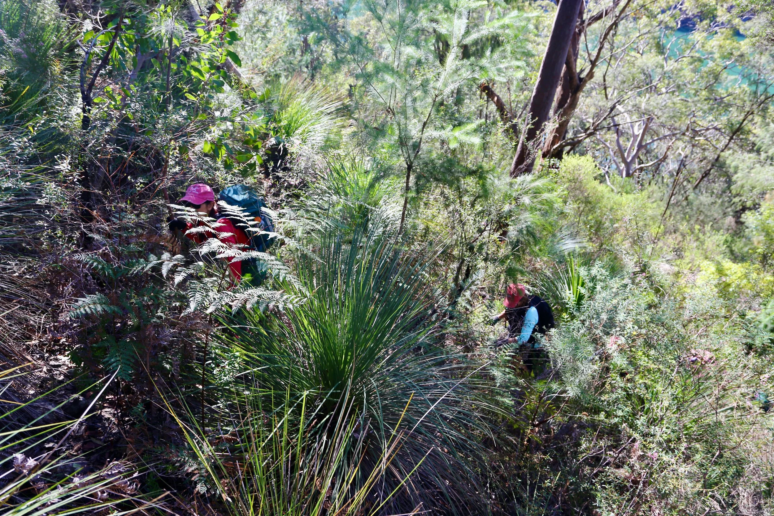
The climb up between shoreline and cliffline.
At the base of the upper cliff line, the character of the walk changed. A morning of mist and water was now opening up to an afternoon of sun and stone.
A broad golden overhang appeared above the slope. We climbed around it and entered from behind, emerging beneath a high, curving roof patterned by erosion and mineral colour.
The shelter opened towards the water below.
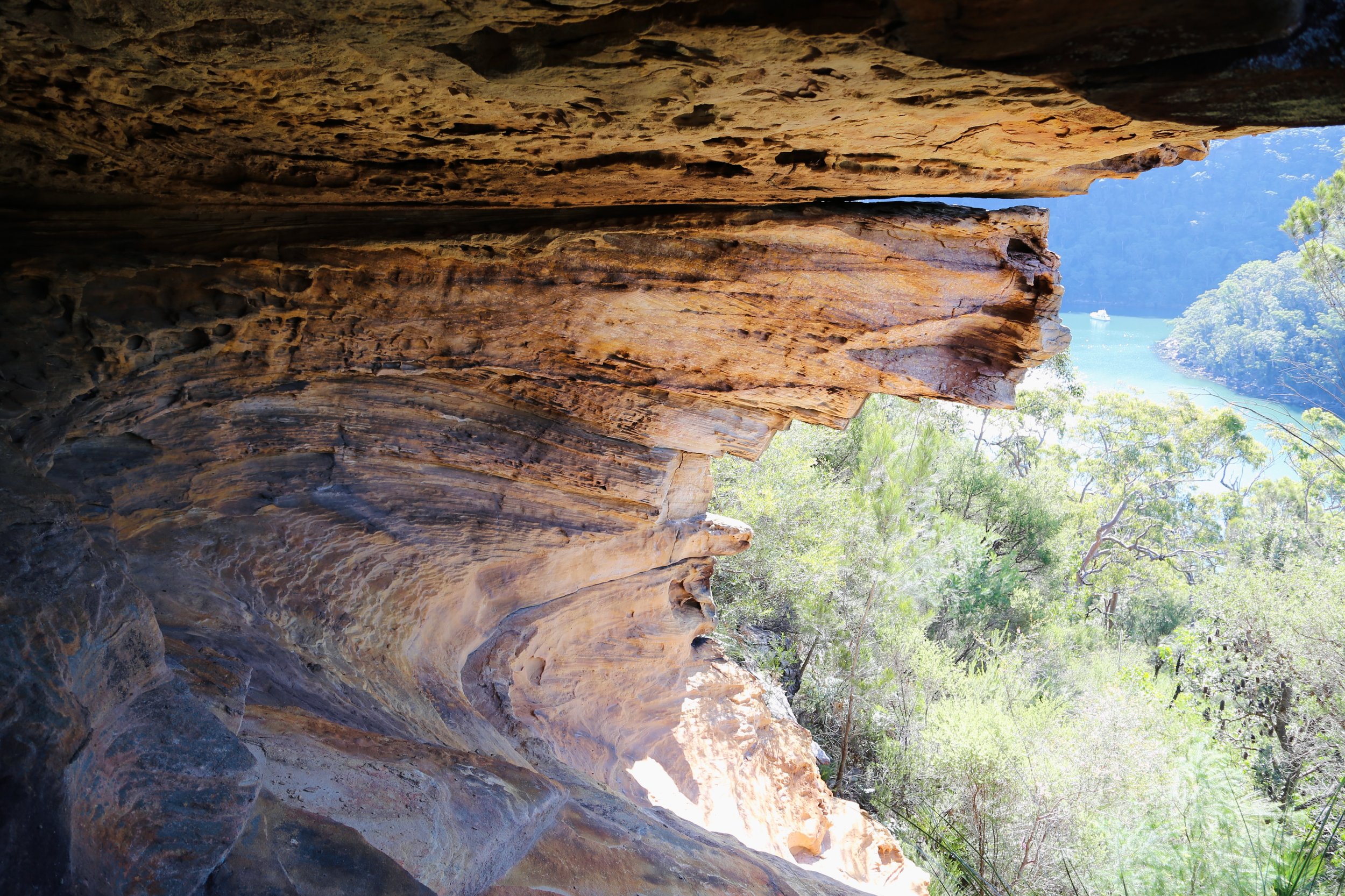
A first overhang above the water.
Places like this invite comparison with the larger sandstone landscapes to the west.
The Blue Mountains and the Gardens of Stone offer taller cliffs, deeper valleys and sandstone architecture on a much larger scale. Their great outlooks are often across immense forested valleys.
Ku-ring-gai’s drama is smaller, but can still be dramatic. Here the sandstone rises above branching bays and broad tidal waterways. Instead of looking across a valley of trees, the view opens across water.
The scale may be smaller, but the meeting of sandstone, bush and water gives the landscape a character entirely its own.
The route now followed the base of the cliffs towards Topham.
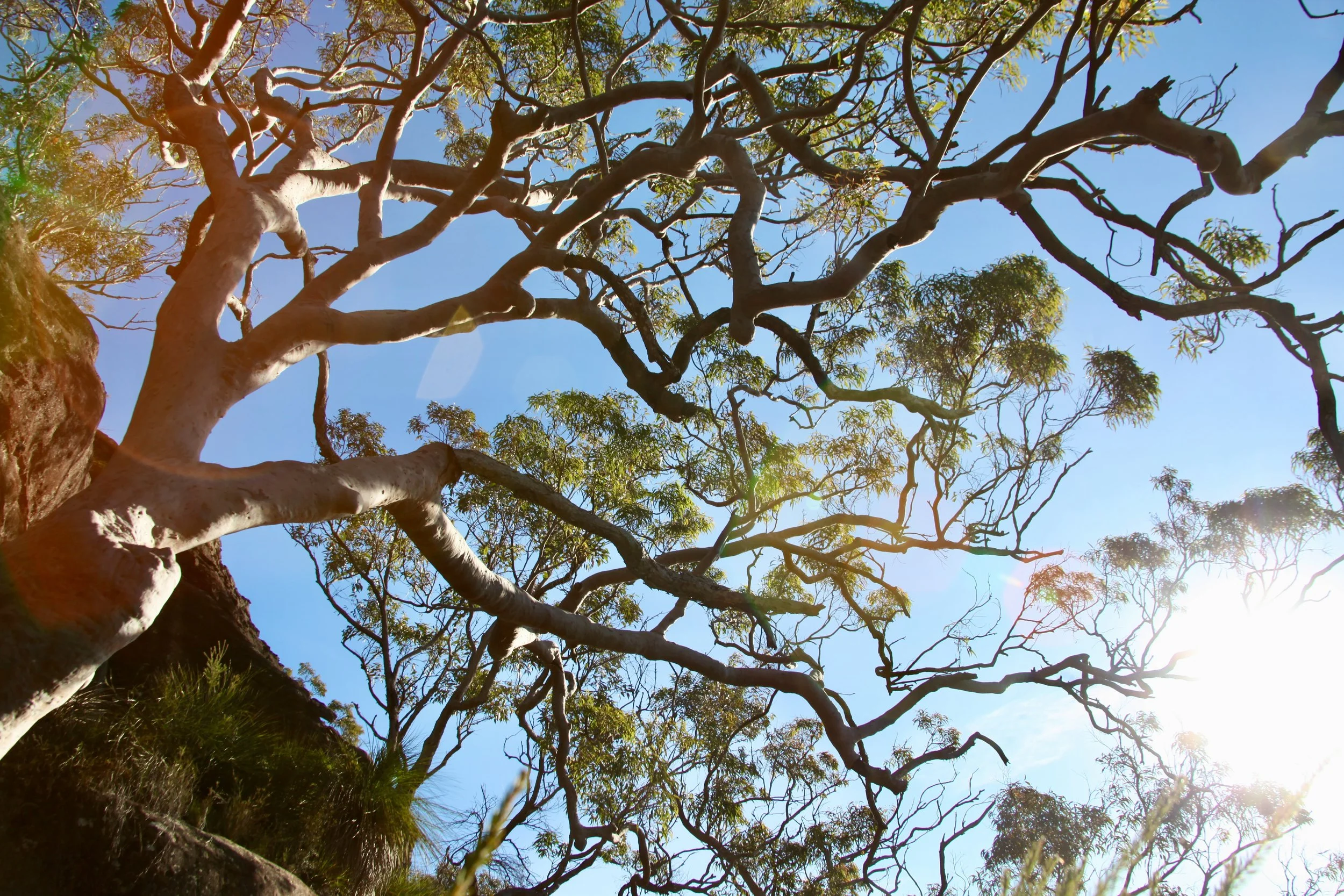
This was not a single continuous wall. The sandstone advanced and retreated in broken sections, divided by shelves, slots, buttresses and overhangs. Grass trees covered the slopes below, while old angophoras leaned from improbable positions in the rock.
One tall shelter was distinguished by an almost level ceiling covered with countless small perforations. From below, the surface resembled lacework in stone.
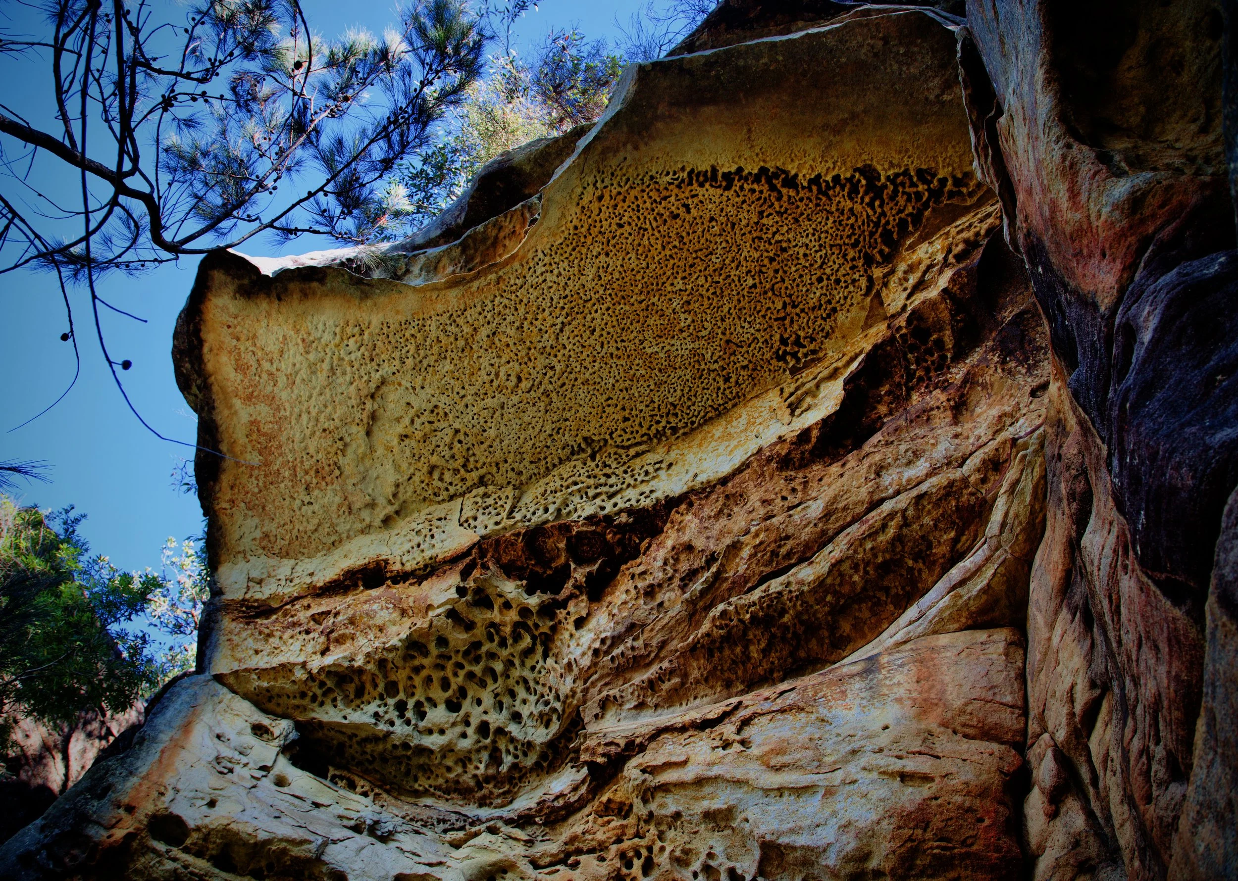
We spent time beneath it before moving around the next corner.
There stood the most dramatic formation of the day.
The feature rose above and projected upward and outward from the surrounding cliff line, catching the full afternoon sun. It was not a single cave but a two-level structure, with a high upper chamber and an intermediate ledge suspended above the slope.
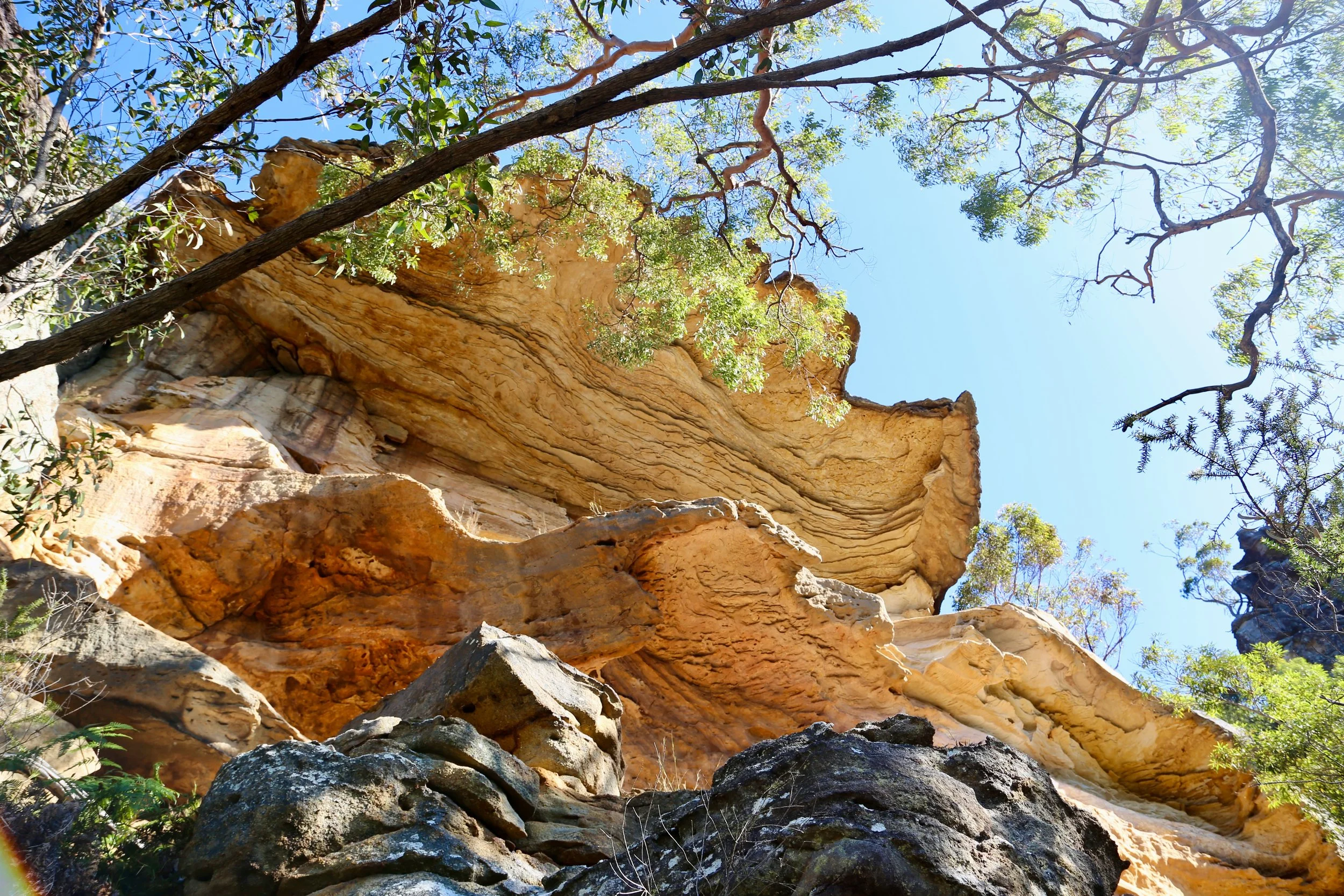
The Golden Balcony rising above the main cliff line
Only a handful of the larger group climbed onto the intermediate level.
Reaching it involved exposed scrambling. Once inside, we remained firmly against the back wall, gripping the sandstone for support. The ledge sloped steeply down under loose sand and grit, with a severe drop below. A fall would be catastrophic.
It was an extraordinary place to stand, but not one to approach casually.
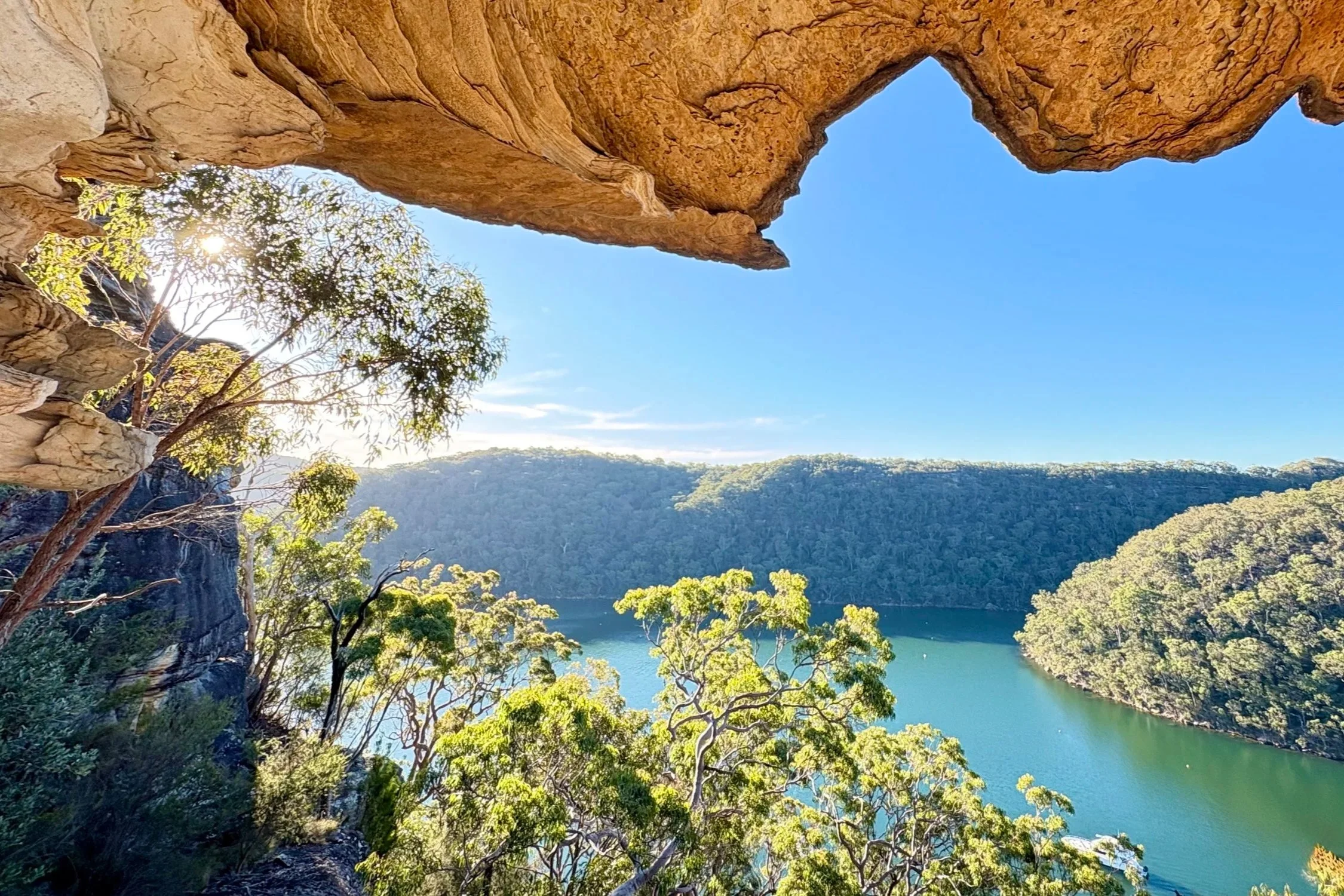
Looking out from the Golden Balcony, Challenger Head on the other side of the bay.
We had previously called it the Double Decker Cave, which was a practical name, but the afternoon light had now made the name increasingly inadequate. We now call it the Golden Balcony.
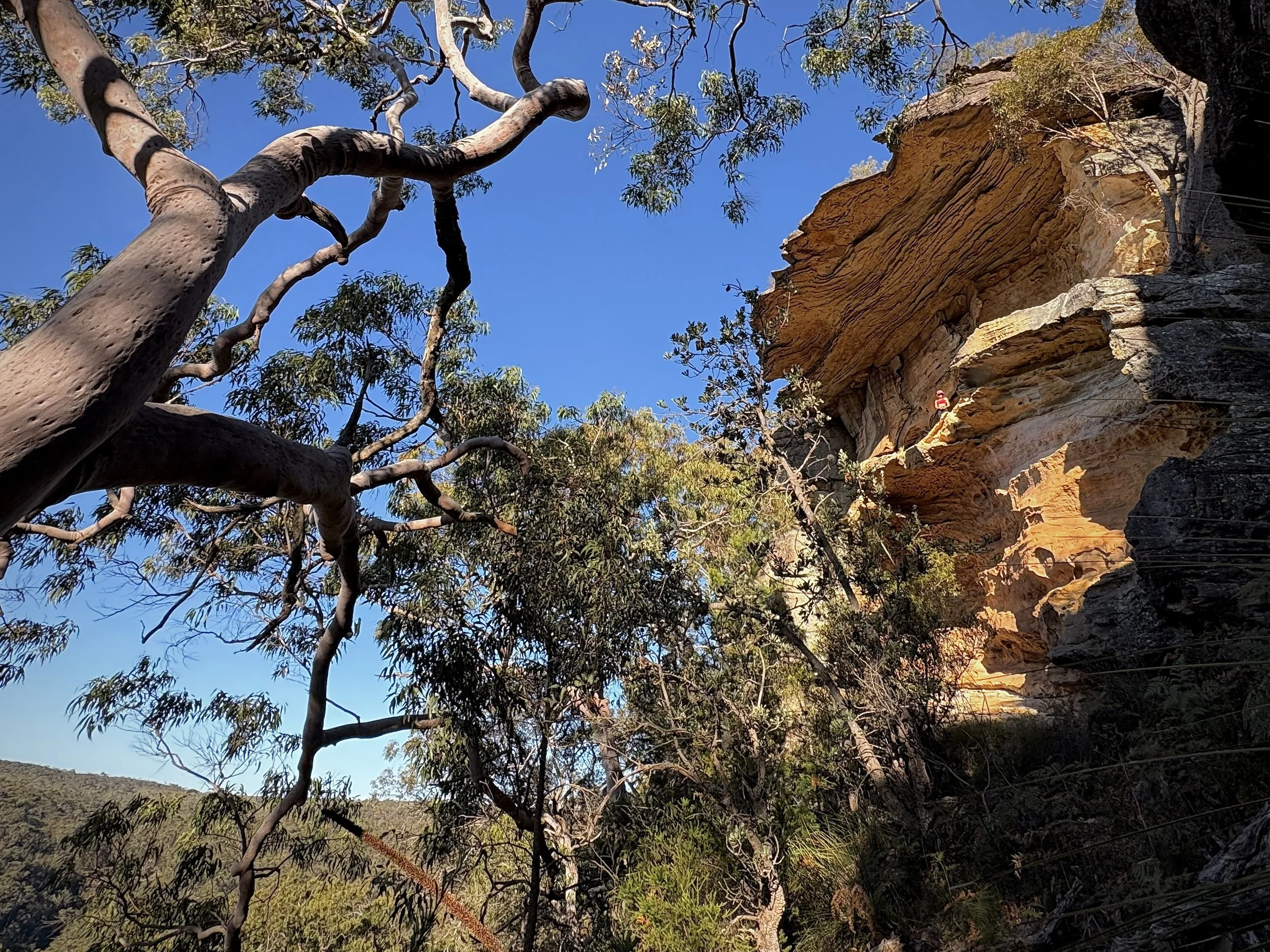
The Golden Balcony. A member of the group provides a sense of scale.
The sandstone seemed to be illuminated from several directions at once — by direct sun from above and, perhaps, by light reflected from the water below. The whole formation glowed against the blue sky.
Beyond it, the cliffs turned west and began receiving the full warmth of the afternoon.
The scrub became more open and the sandstone broke into a succession of smaller shelters and sculpted walls. Each formation had its own proportions: rippled ceilings, black weathered edges, shallow alcoves and long sweeps of orange stone.
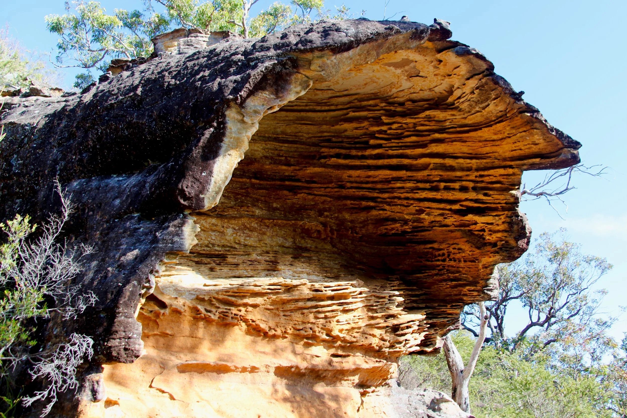
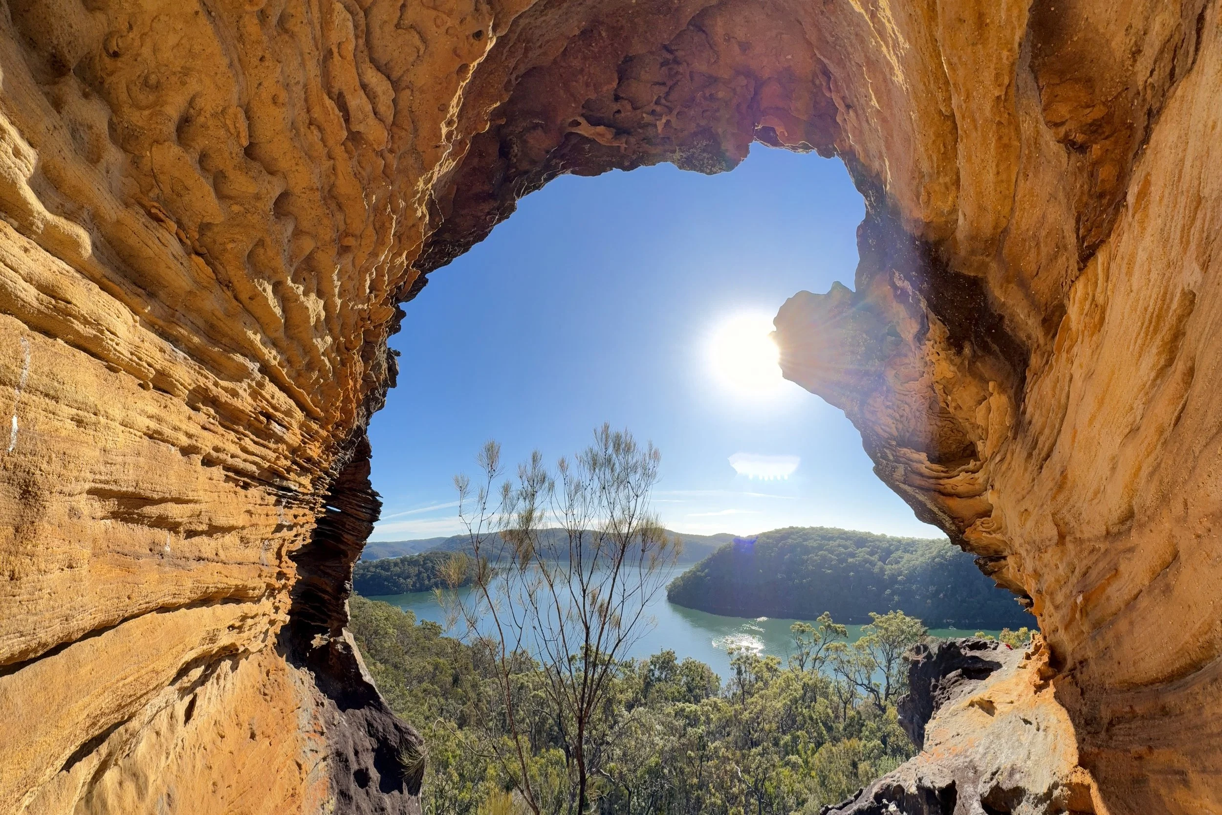
This was perhaps the most enjoyable part of the walk.
The pleasure was in following the cliff as it changed, with another overhang appearing around each corner. The route was straightforward only if nobody stopped to look at anything.
On one side, the cliff continued in a succession of sandstone walls and shelters. On the other, the slope fell away towards the water.
It was the kind of landscape in which progress became vulnerable to photography.
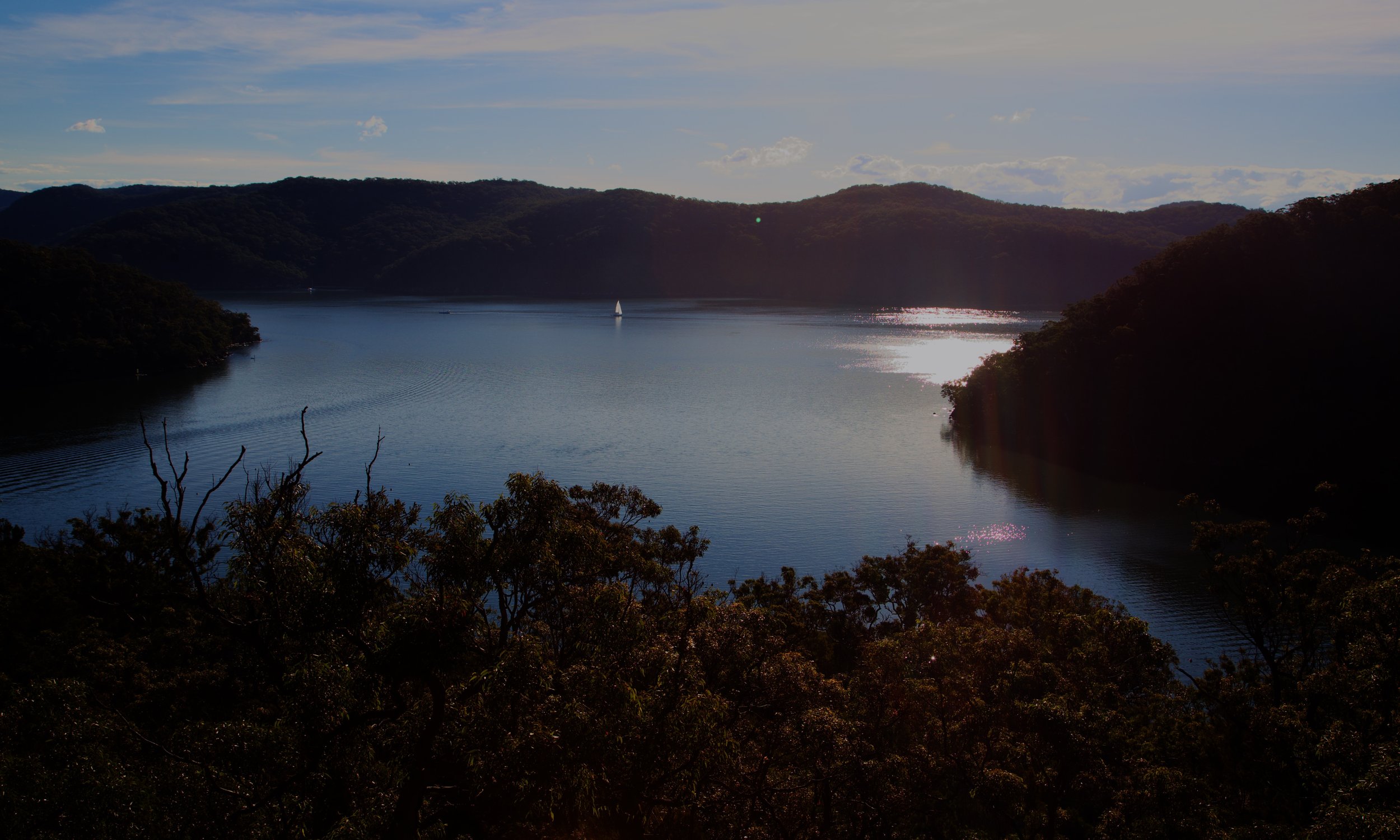
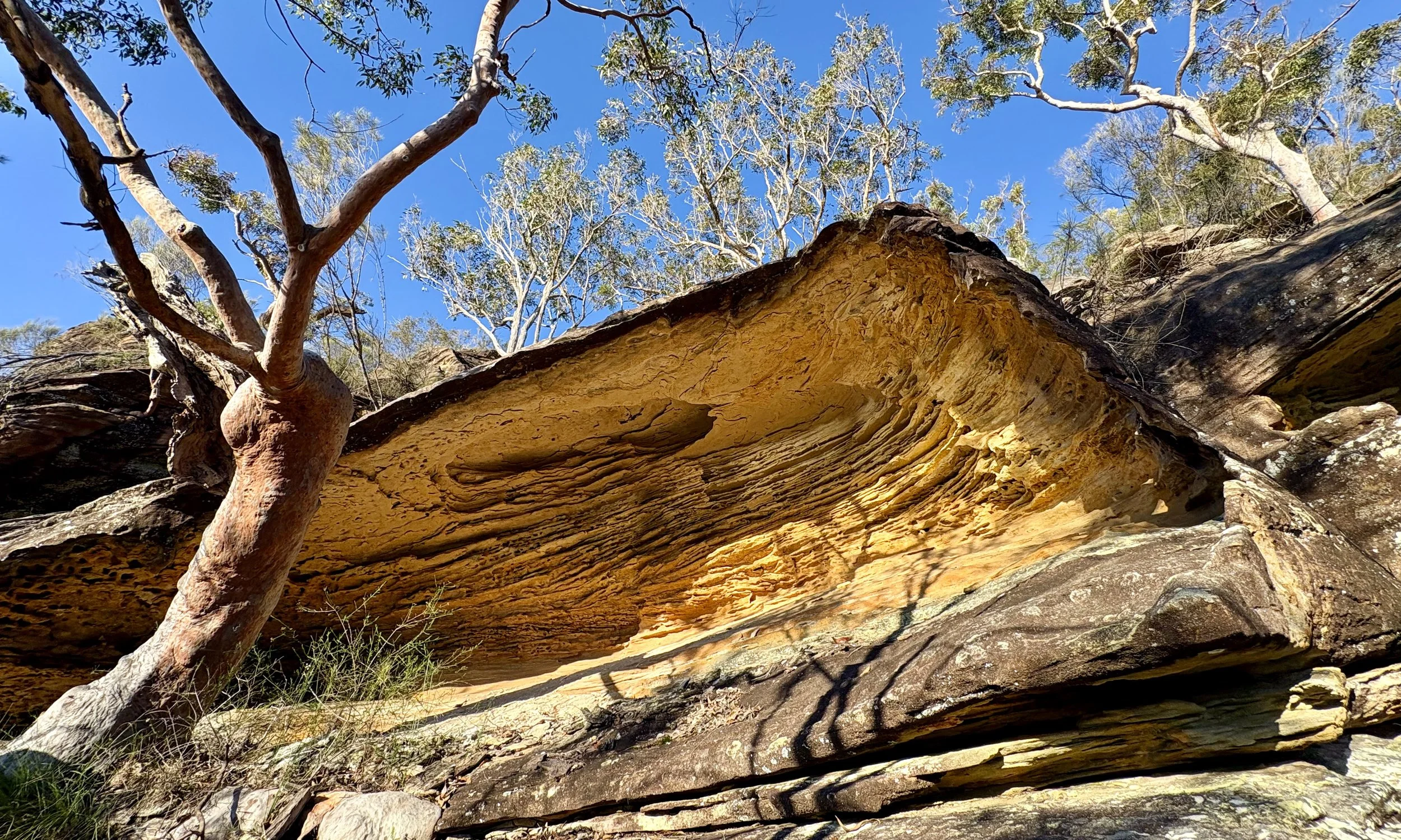
It was also a most social day. The group was large, lively and thoroughly capable off track. There was plenty of laughter, many photographs and occasional activity better suited to short-form video than traditional bushwalking records.
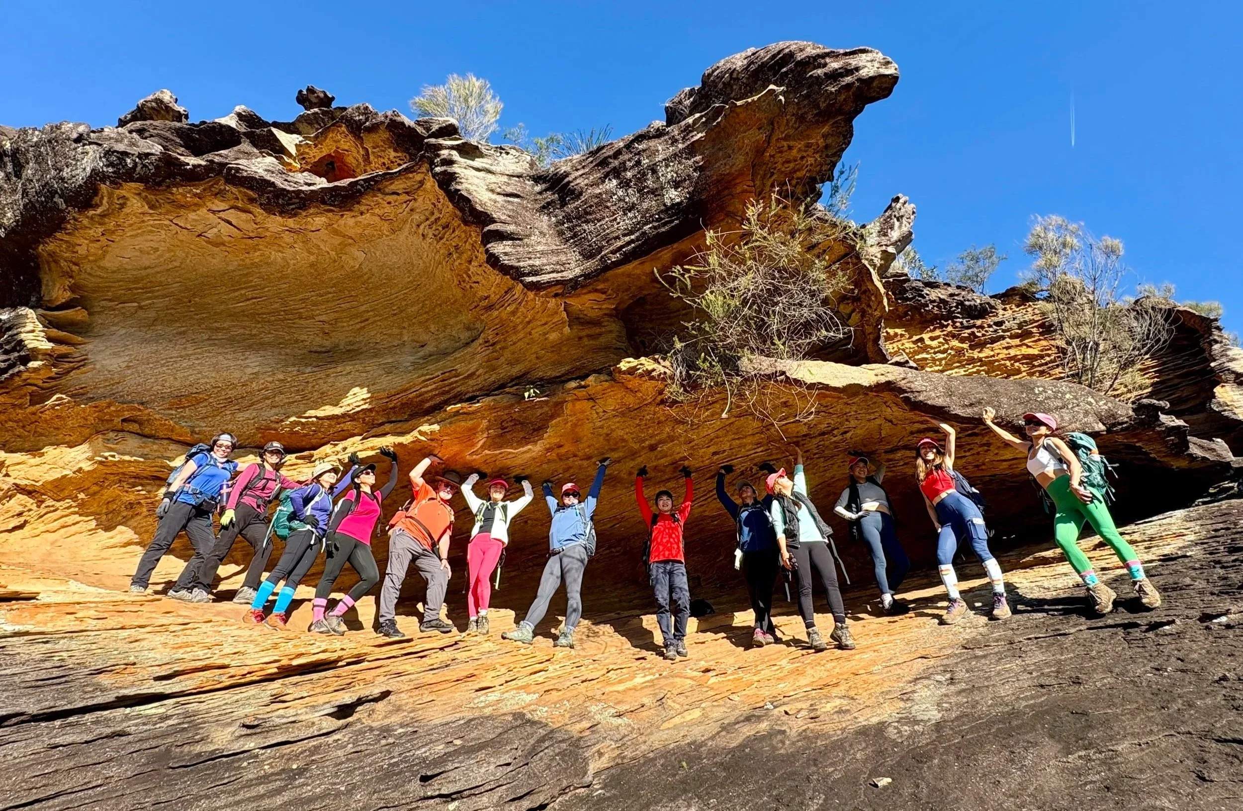
The group beneath an overhang. The sandstone didn’t seem to mind.
Eventually the cliffs began to lose height and fragment.
We found a break with a ramp, climbed onto the ledge above and crossed a gentle platform towards the end of the Topham Track.
There, one final overhang opened towards the west. Its roof curled around the view, framing Refuge Bay, Cowan Creek and the lowering sun.
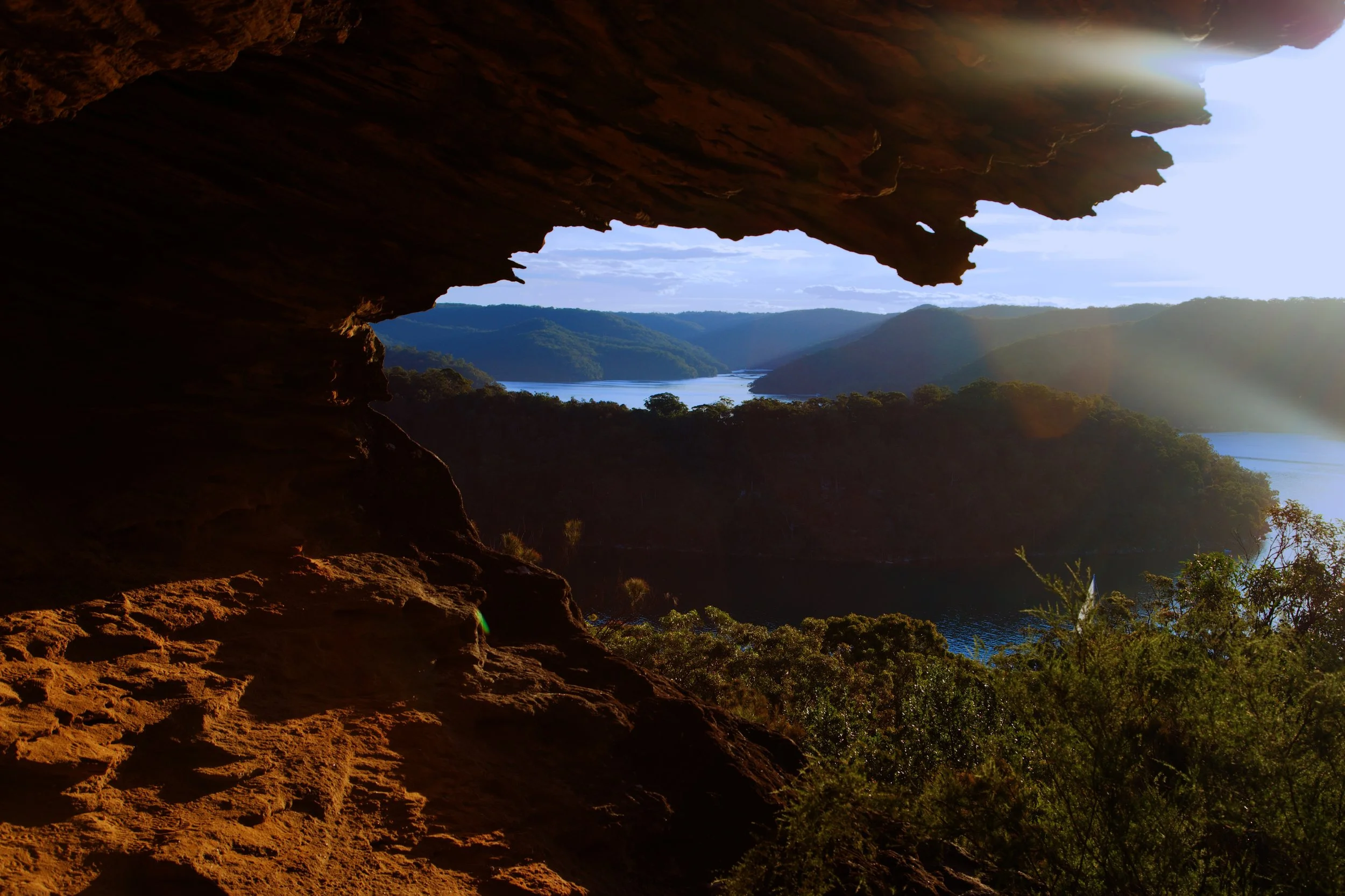
One final piece of sandstone architecture, catching the afternoon light above Cowan Creek.
The official track resumed responsibility, leading us back towards the road as the sun dropped towards the horizon and golden light settled across the heath and trees.
The walk had begun among wet stone and pale trees in mist. It ended beneath a golden roof, with the waterways of Ku-ring-gai opening towards the afternoon light.
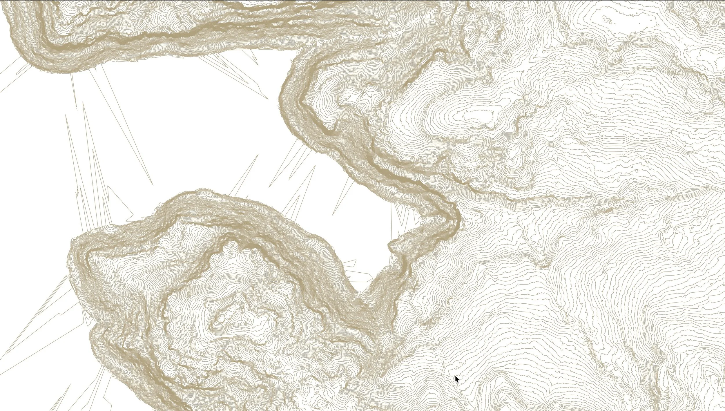
Contour Study
See also
What the Cliffs Hold — Pittwater — exploring the sandstone cliffs above Pittwater from an entirely different angle.