Maps in Sandstone
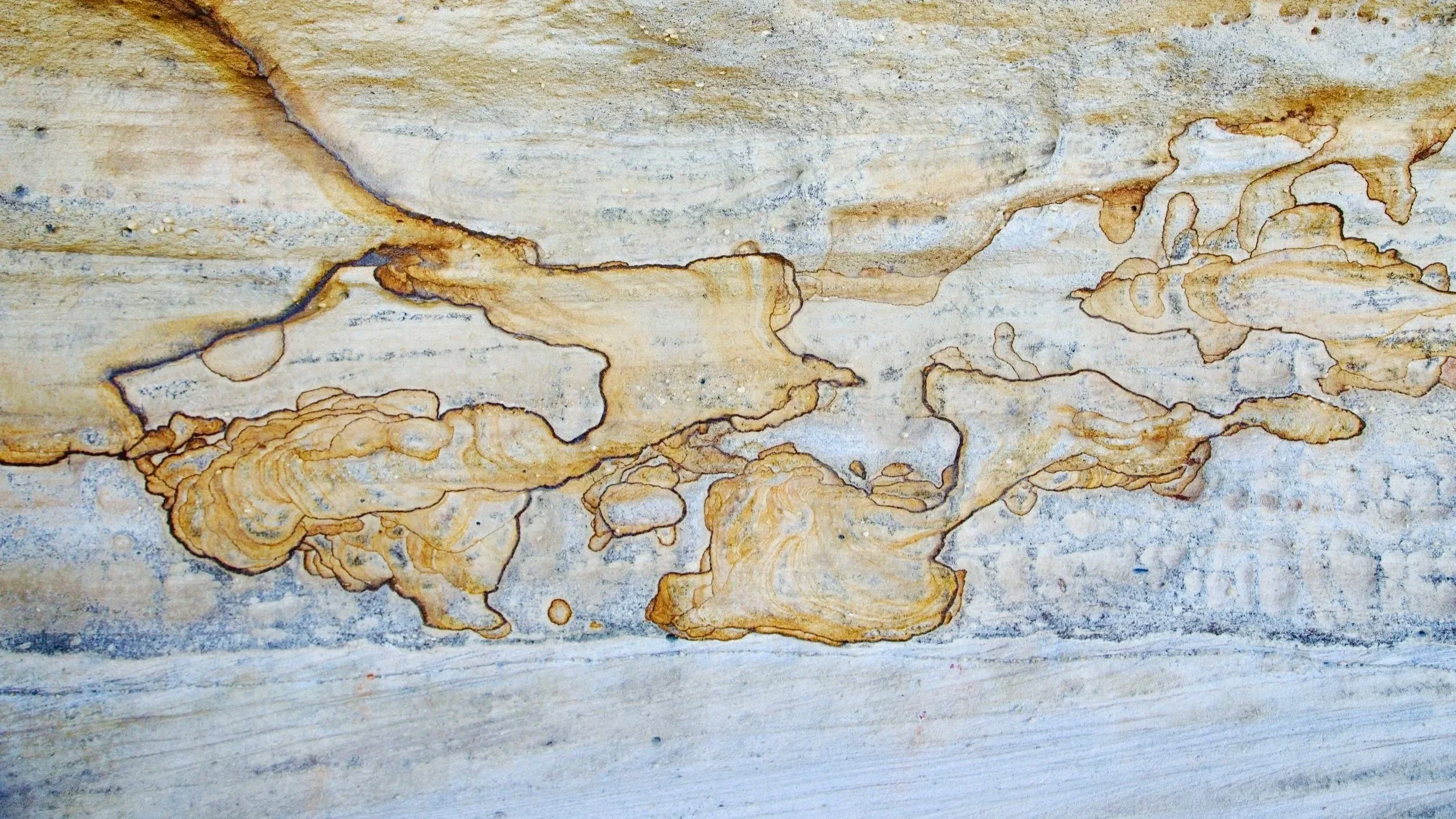
Intricate markings in the sandstone, like maps of some imagined country.
An unassuming rock platform on Kings Tableland led to intricate sandstone, hidden overhangs and a further exploration beneath the main cliff line.
-
Location: Kings Tableland, Blue Mountains
Date walked: April 2026
Distance: 2.1 km
Elevation gain: 125 m
Duration: 1.5 hours
Route type: Exploratory out-and-back
Grade: 4 – Short in distance, but partly off track, with steep terrain and exposed ledges.
Map: Jamison 1:25,000
Access: Kings Tableland Road, near the radio towers
Terrain: Sandstone platforms, informal tracks, steep slopes and exposed cliff-line ledges
The rock platform first caught my attention in aerial photography: a pale clearing in the bush near the radio towers on Kings Tableland, set back from the main cliffs of the Jamison Valley.
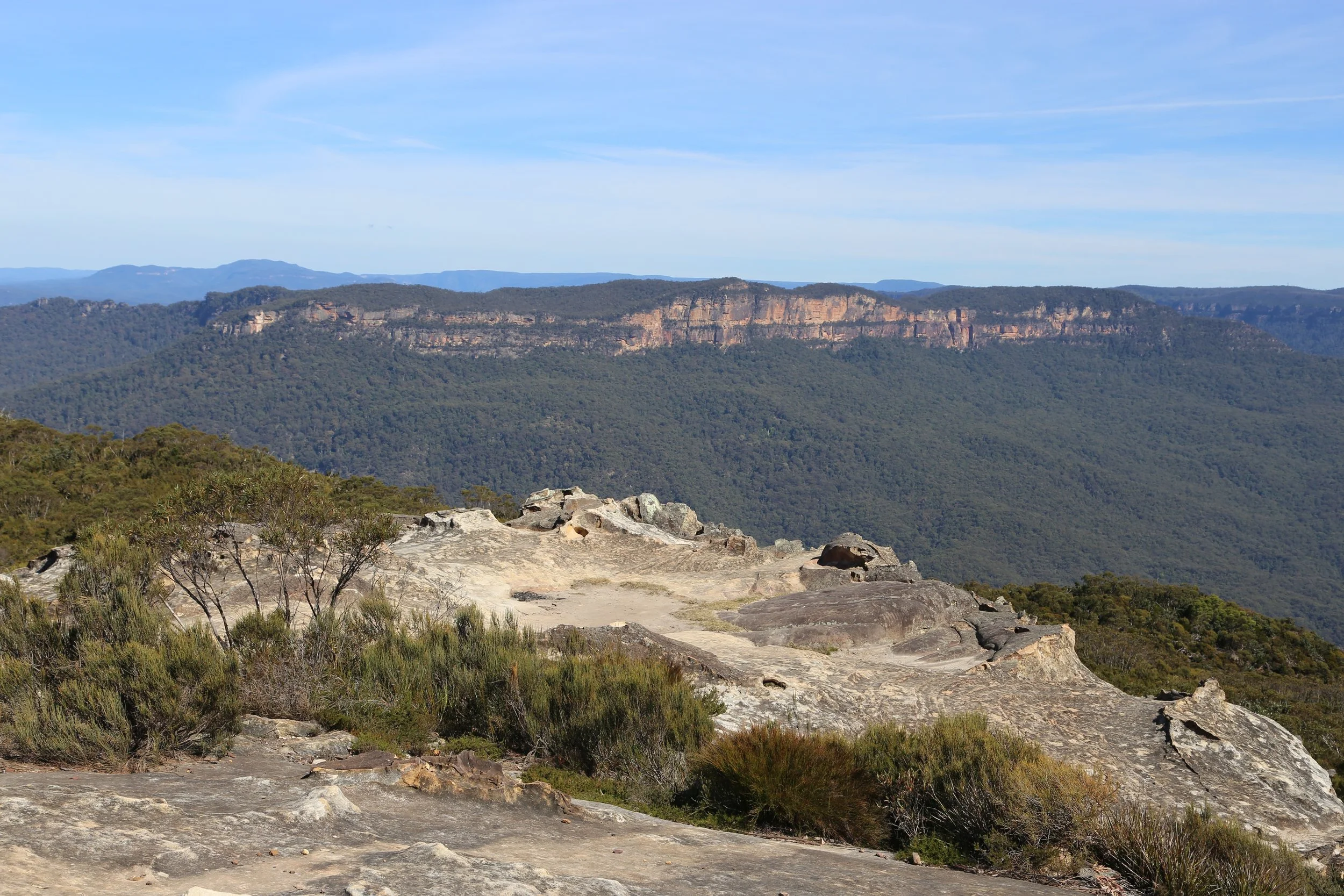
The broad rock platform above the Jamison Valley with Mount Solitary ahead.
On the ground, a short service trail led to a broad sandstone platform with views towards Sublime Point and Mount Solitary’s east Col. The panorama was pleasant, but the sandstone was more interesting.
A large overhang curved beneath its outer edge, while dark shelves and strangely sculpted formations surrounded the open rock above.
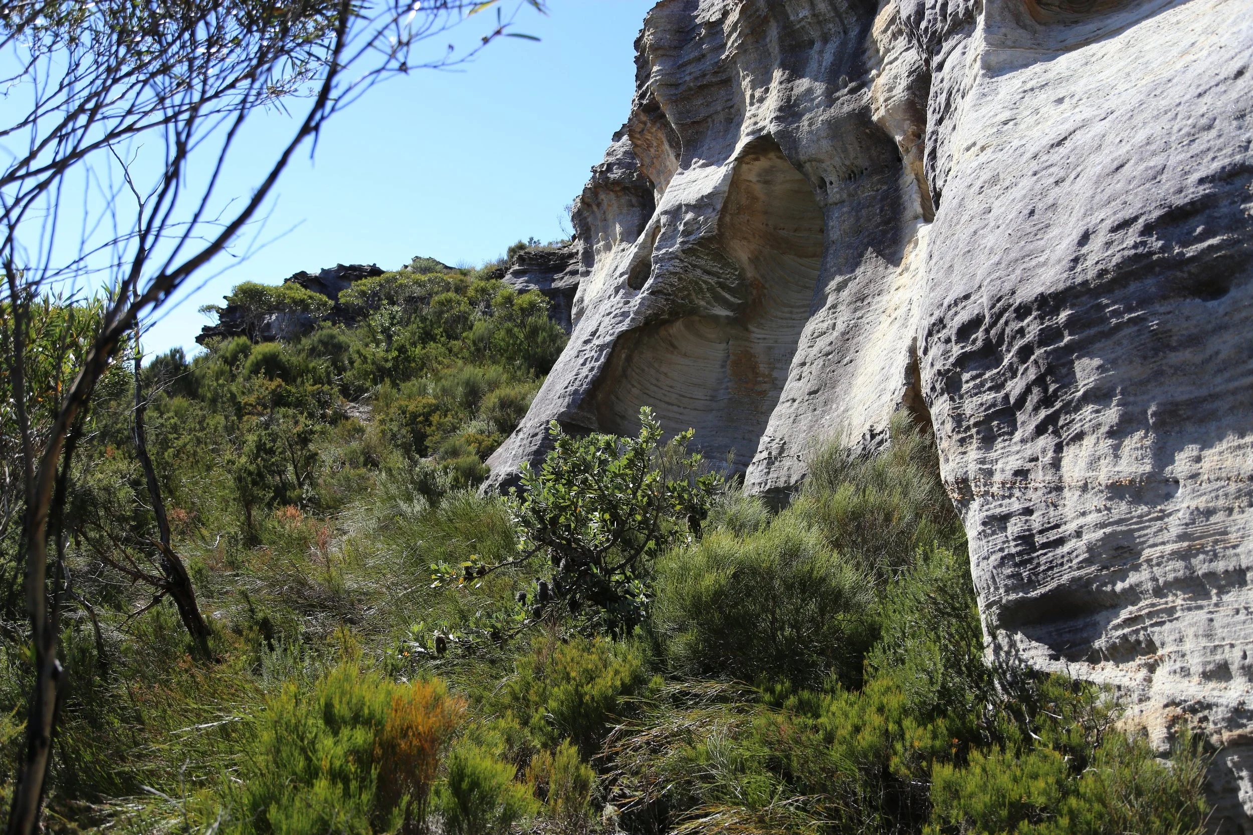
Below the platform, the sandstone walls became more intricate.
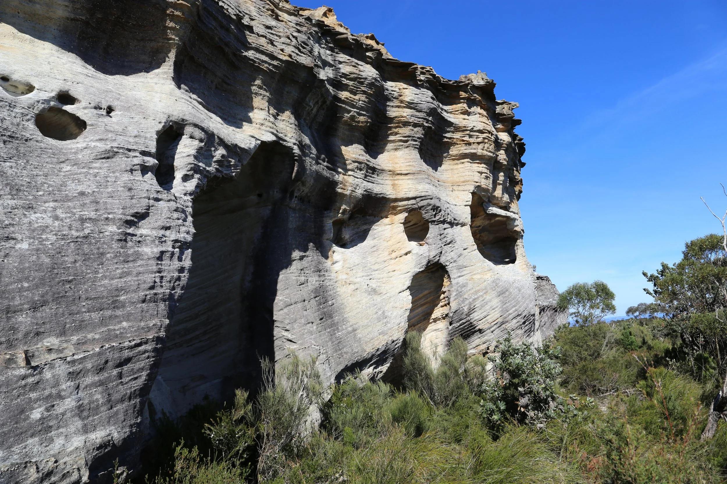
Recesses and weathered chambers along the upper cliff line.
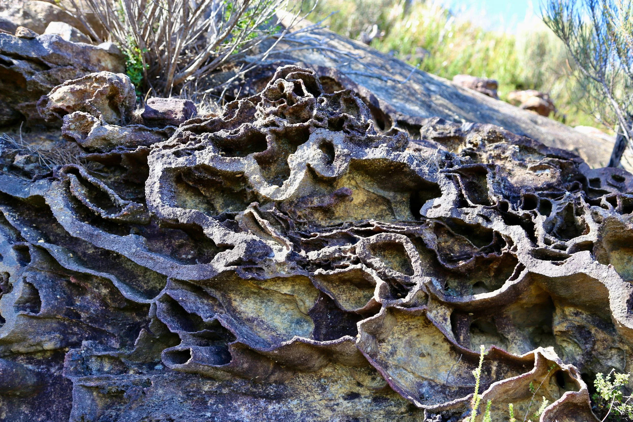
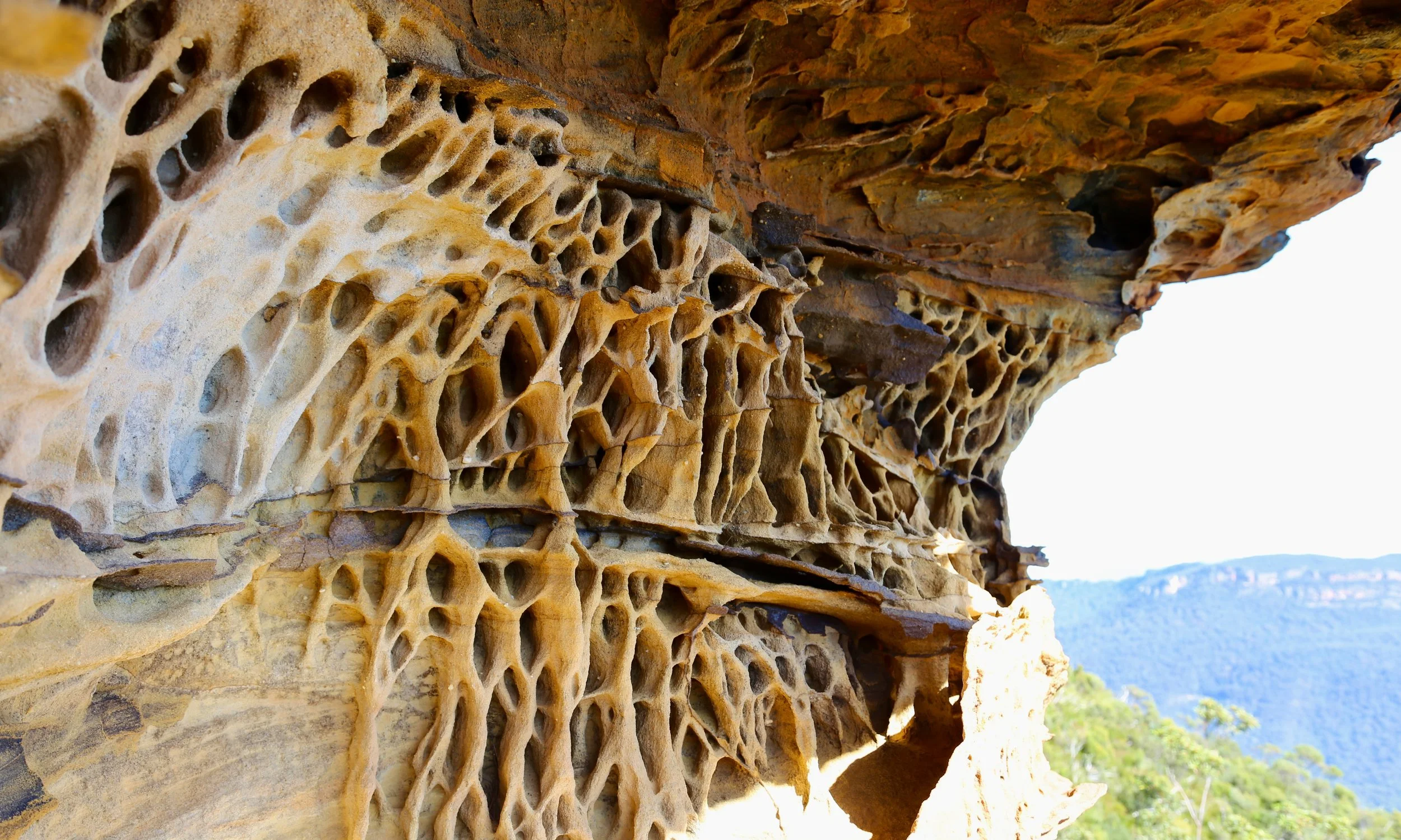
Around and beneath the platform, pale walls were patterned with iron-stained lines, honeycomb weathering and intricate markings like maps of some imagined country.
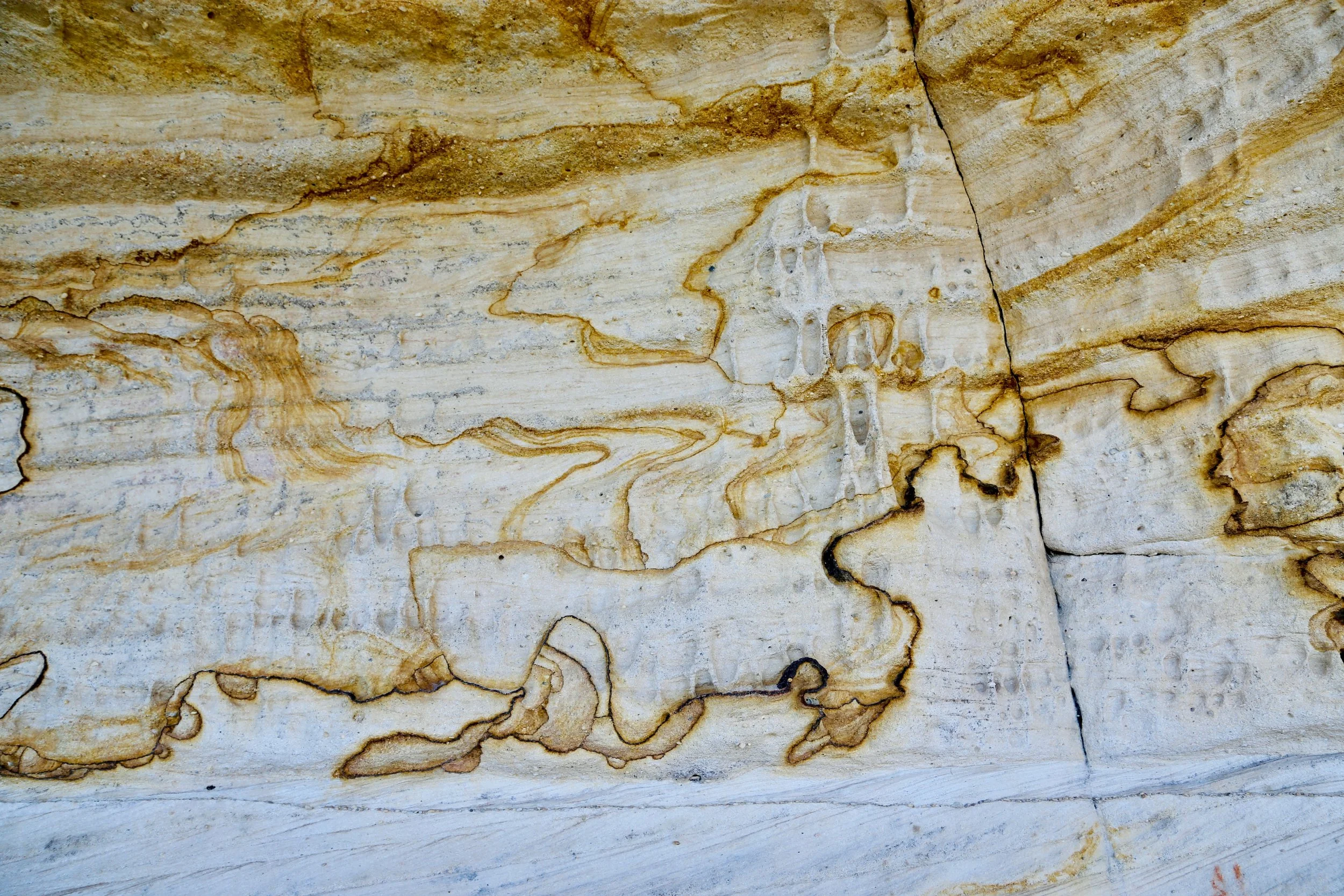
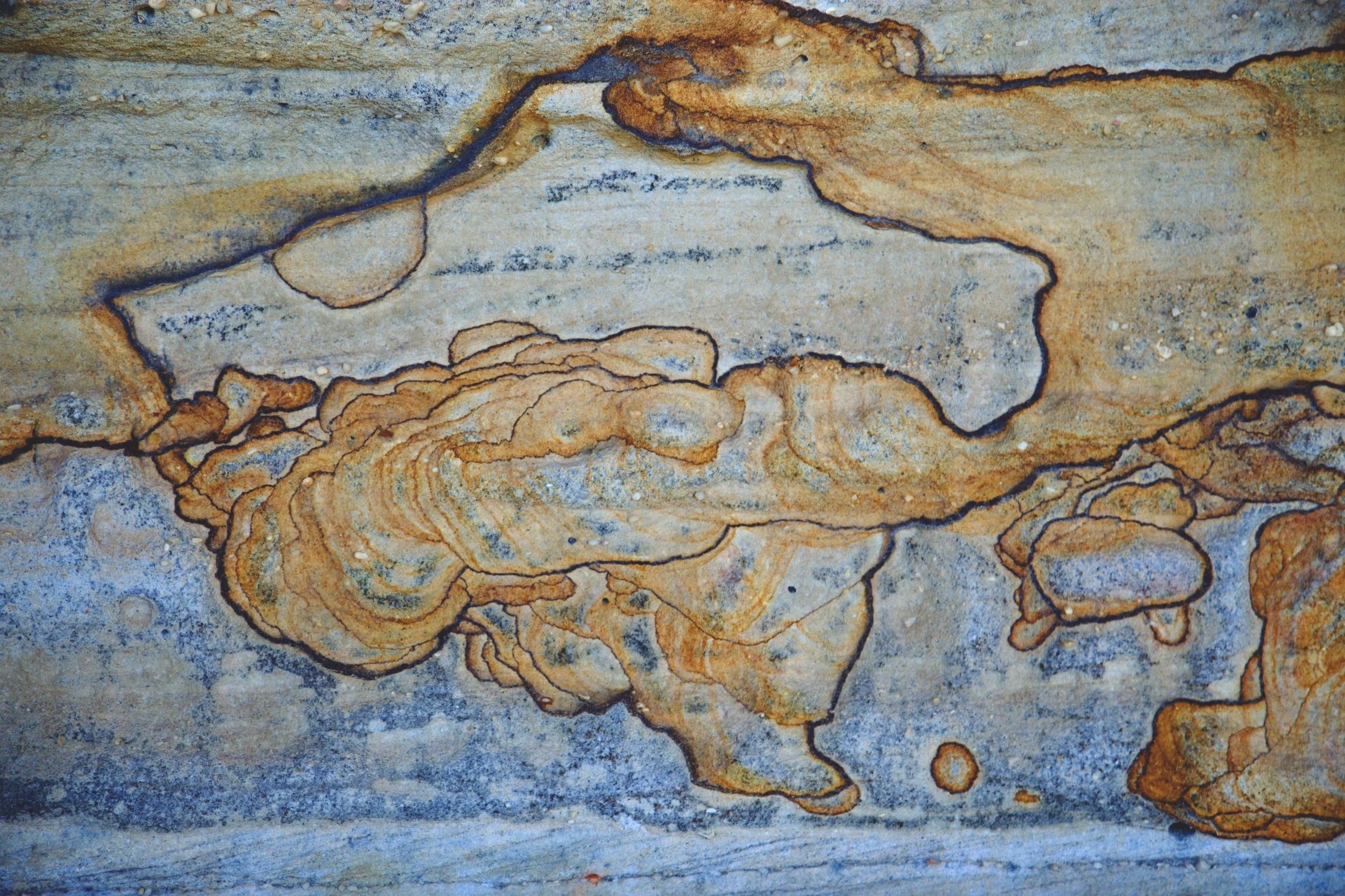
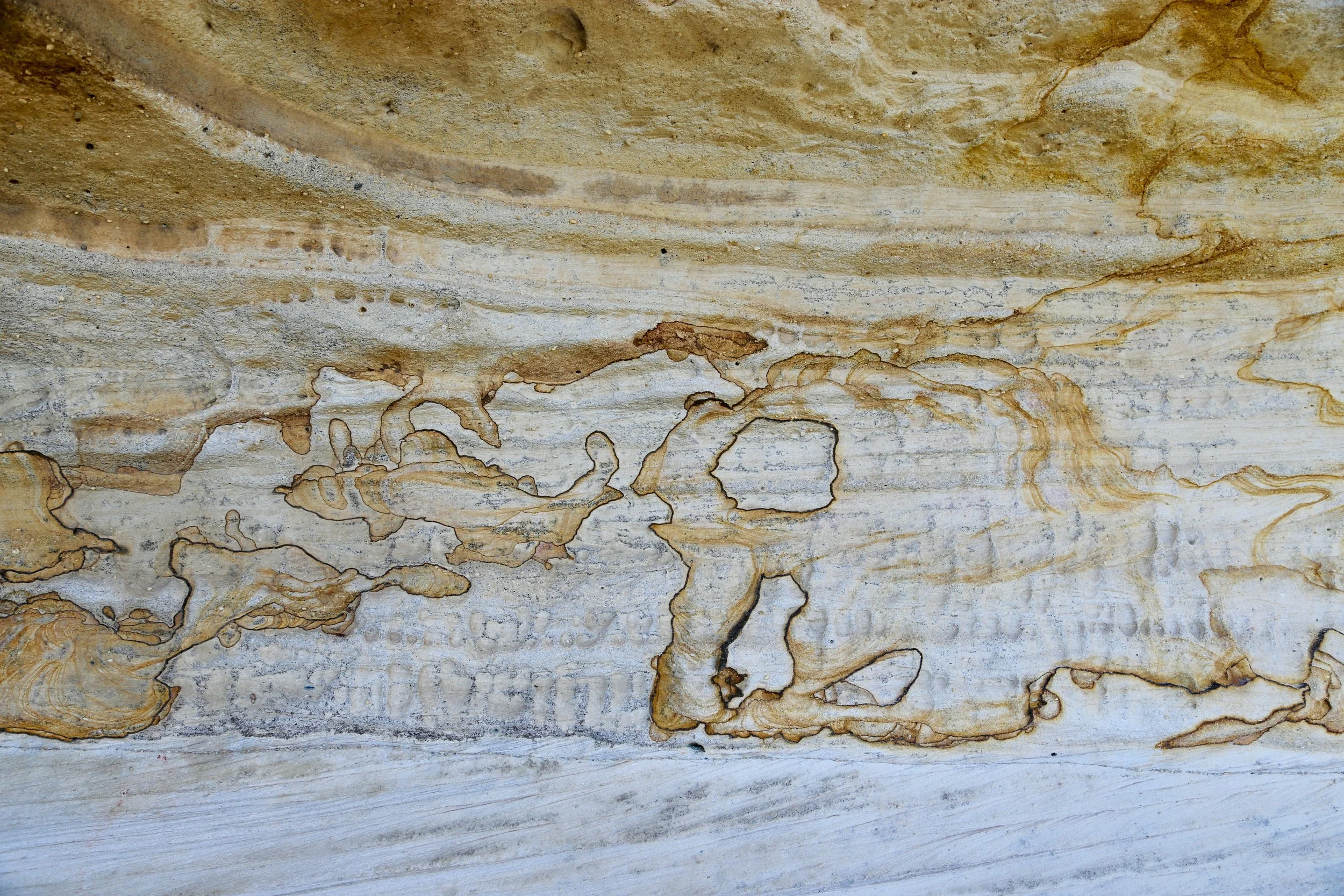
A track continued downhill towards the larger cliff line. Apparently it had decided the lookout was not the main event. It delivered a ledge beneath the cliffs and continued past grass trees, deep recesses and red overhangs.
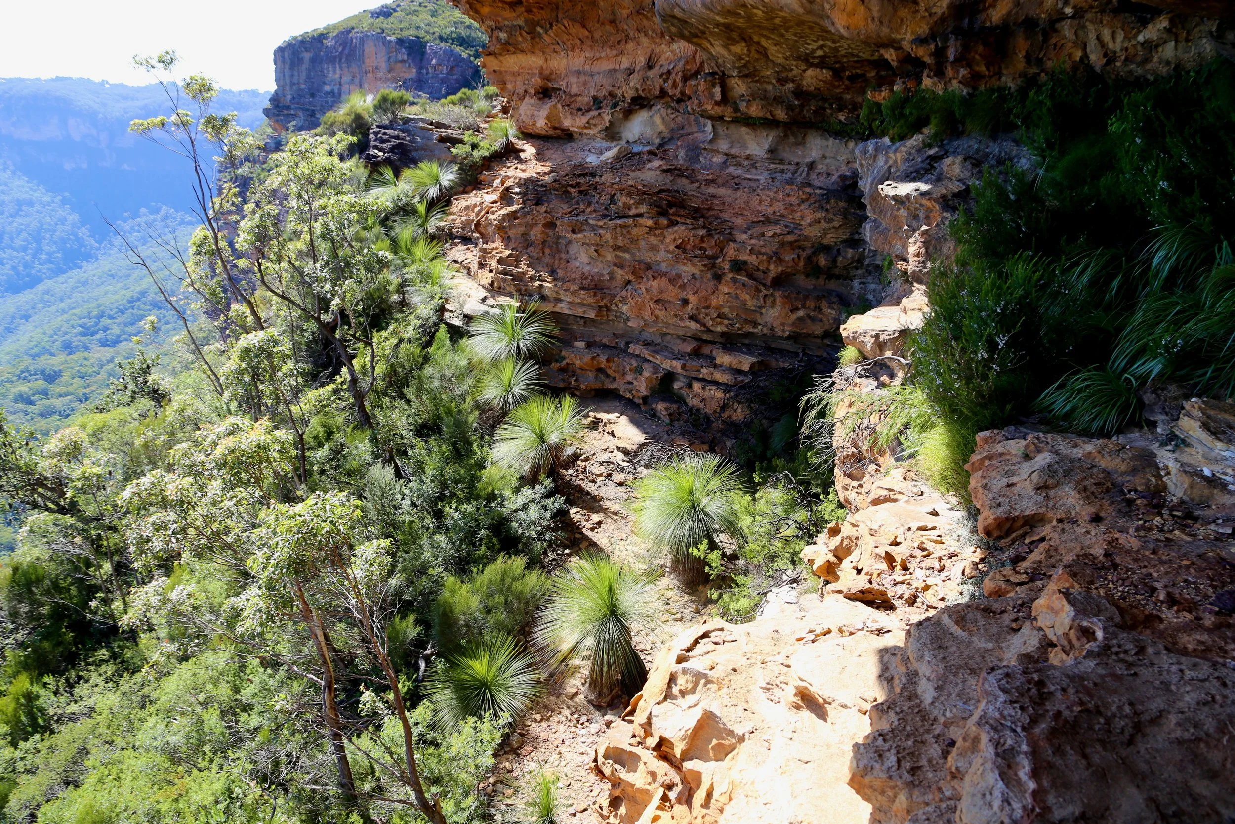
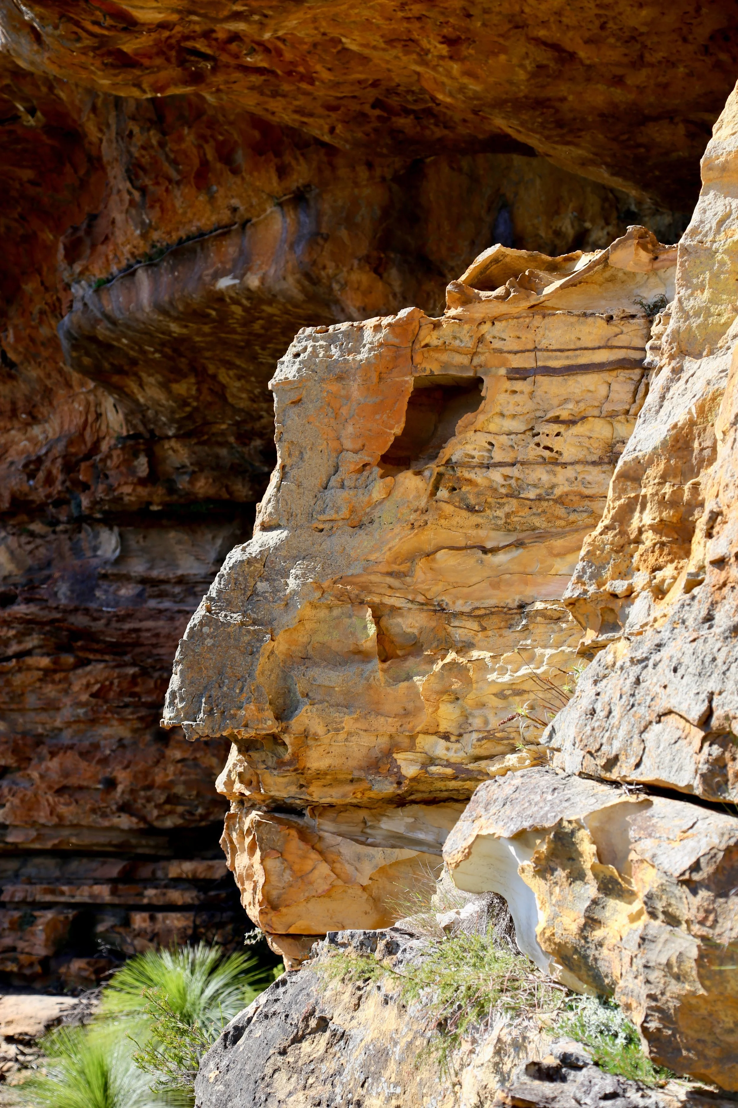
There was no headline destination, only a series of sandstone curiosities, each encouraging exploration beyond.
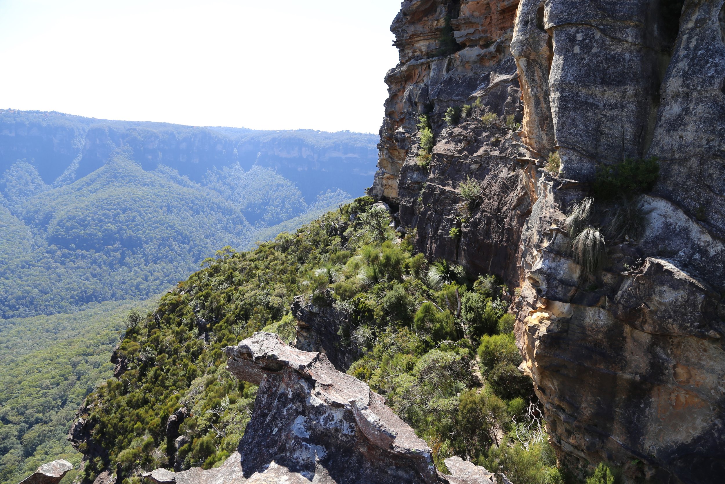
Broken cliffs and outcrops below the tableland.
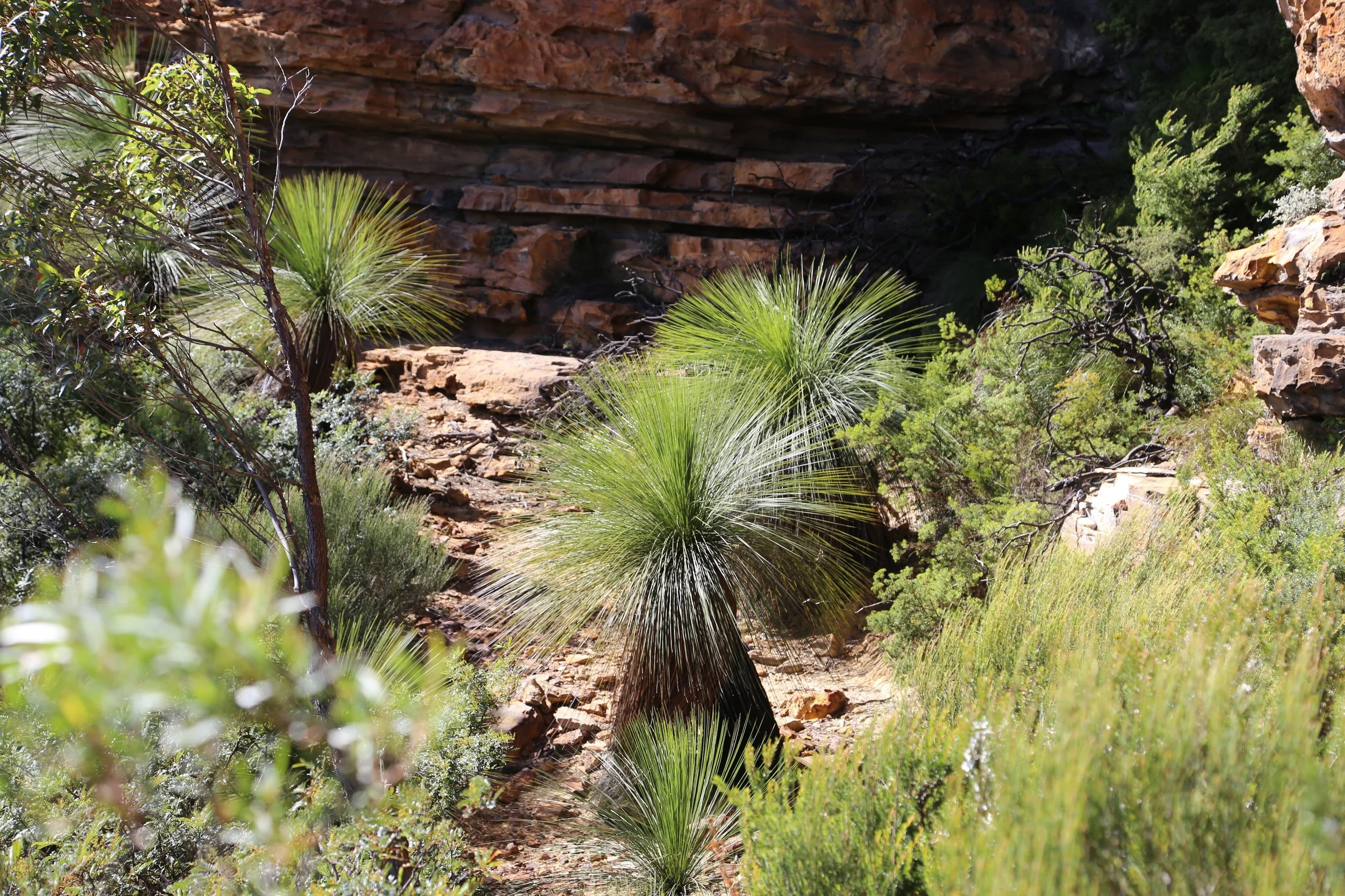
Grass trees gathered beneath the overhangs.
In the largest overhang, fixed climbing anchors hung from the ceiling and suggested that the track beneath the cliff was not accidental.
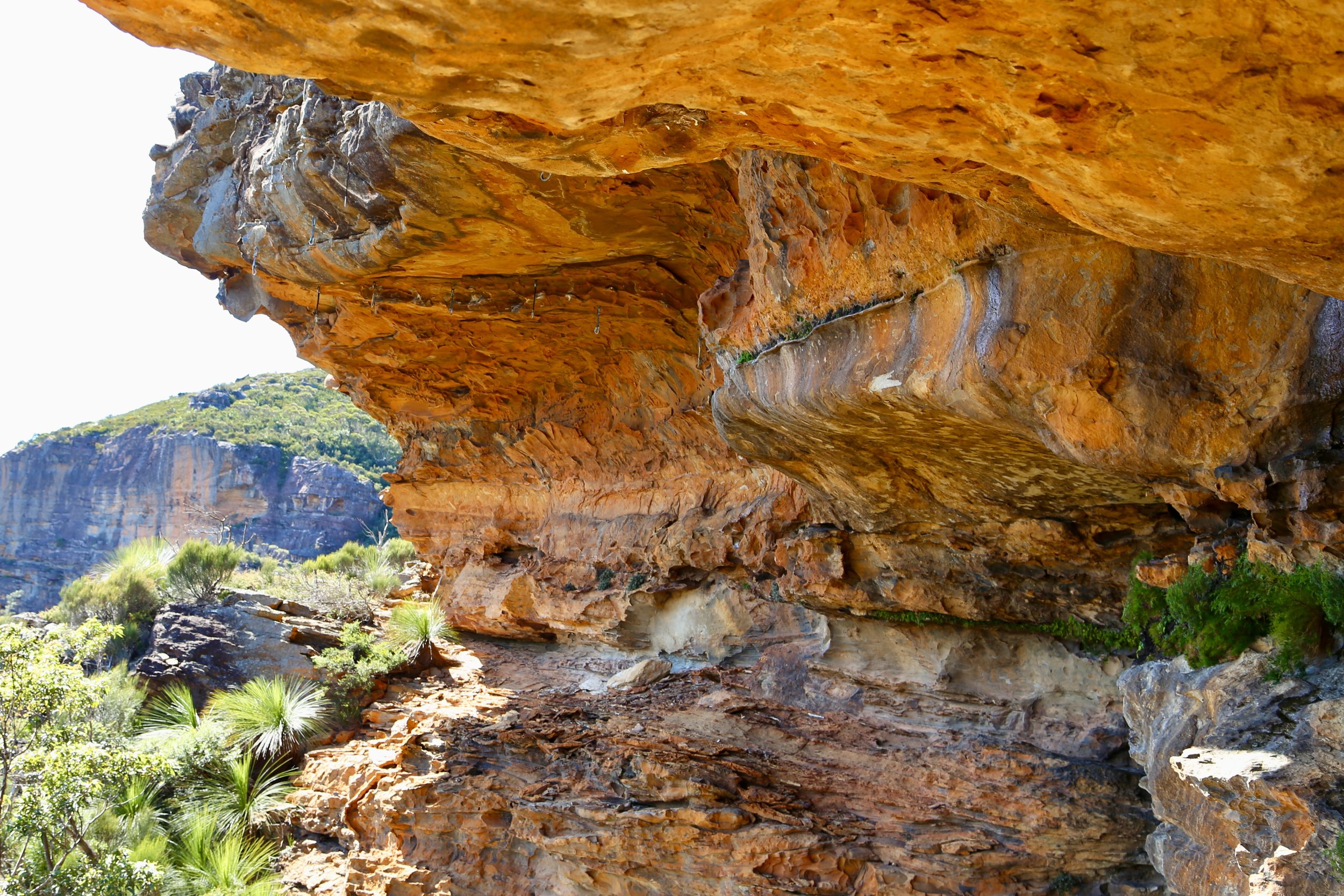
Climbers’ cave under the cliff.
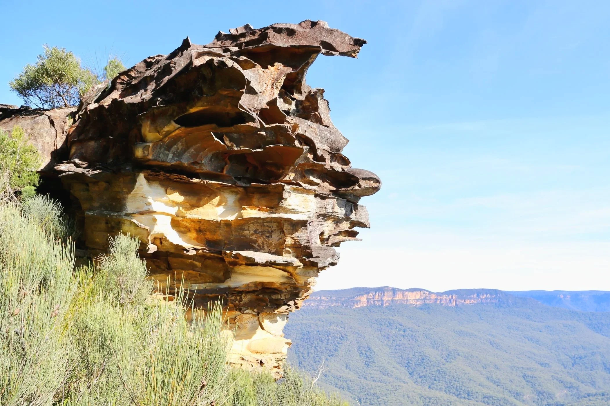
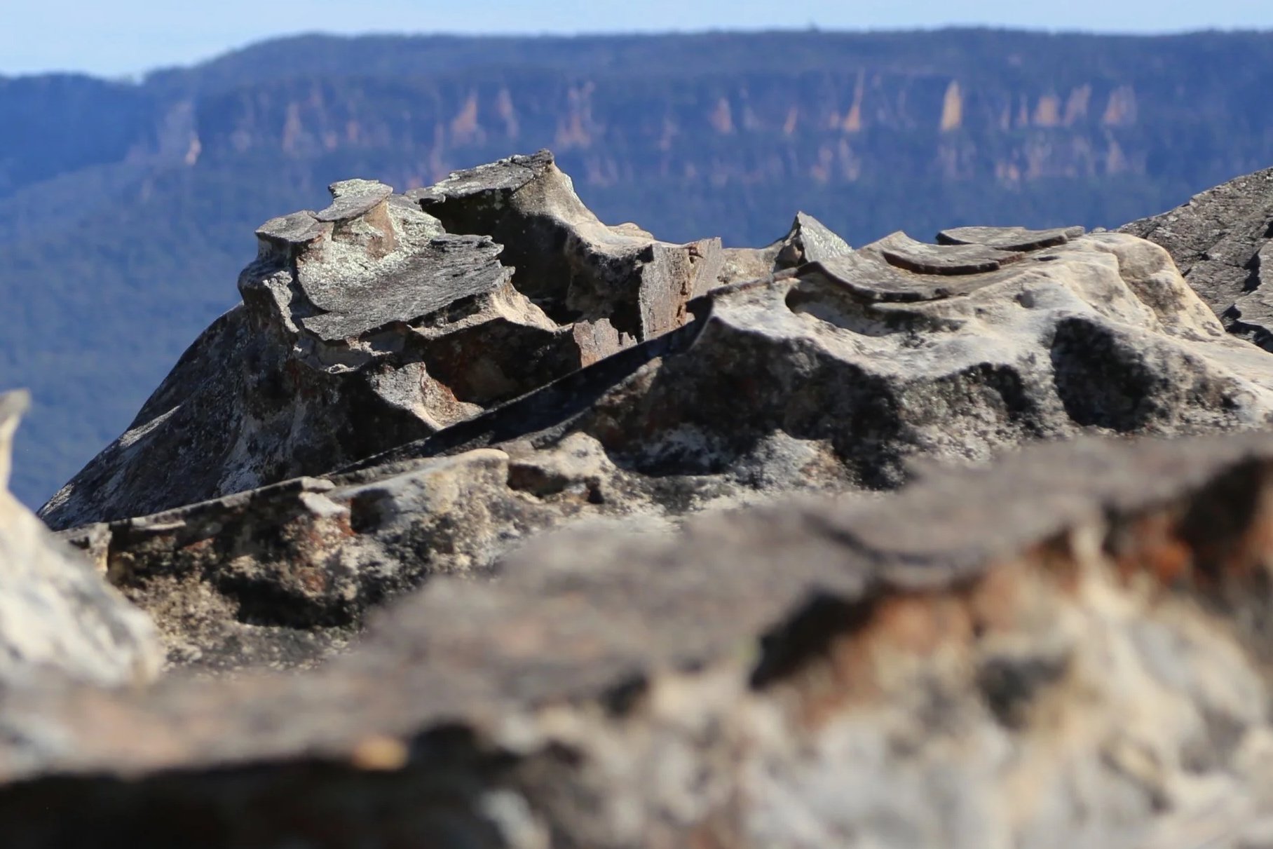
Weathered sandstone at the edge of Kings Tableland.
Alone, unfamiliar with the cliffs and still recovering from a recent serious knee injury, I had probably already pushed the exploration far enough. Eventually the ledge became less inviting, and that seemed a reasonable place to turn around.
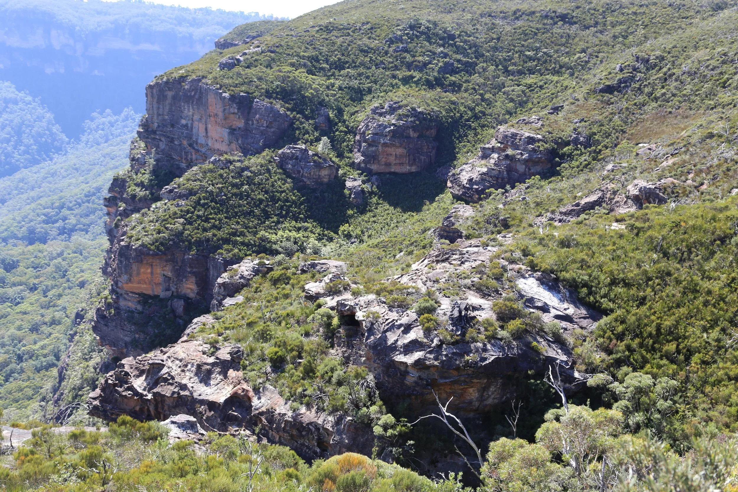
Dissected cliff line – looking north towards Wentworth Falls
Hiking the World describes the platform as the Kings Tableland Power Easement Lookout, and notes it is also known as the Three Trigs Lookout. Its account covers the platform and the weathered sandstone around its base. The continuing ledge and larger cliff line provided a somewhat longer diversion.
The lookout had been the starting point. As it turned out, most of the walk was spent exploring the country below it.
References and Further Reading
Hiking the World, “Kings Tableland Power Easement Lookout”.
Ian Brown, Blue Mountains Nature, “Sandstone Country”