The Pagoda Skyline
along the Wolgan–Capertee Divide
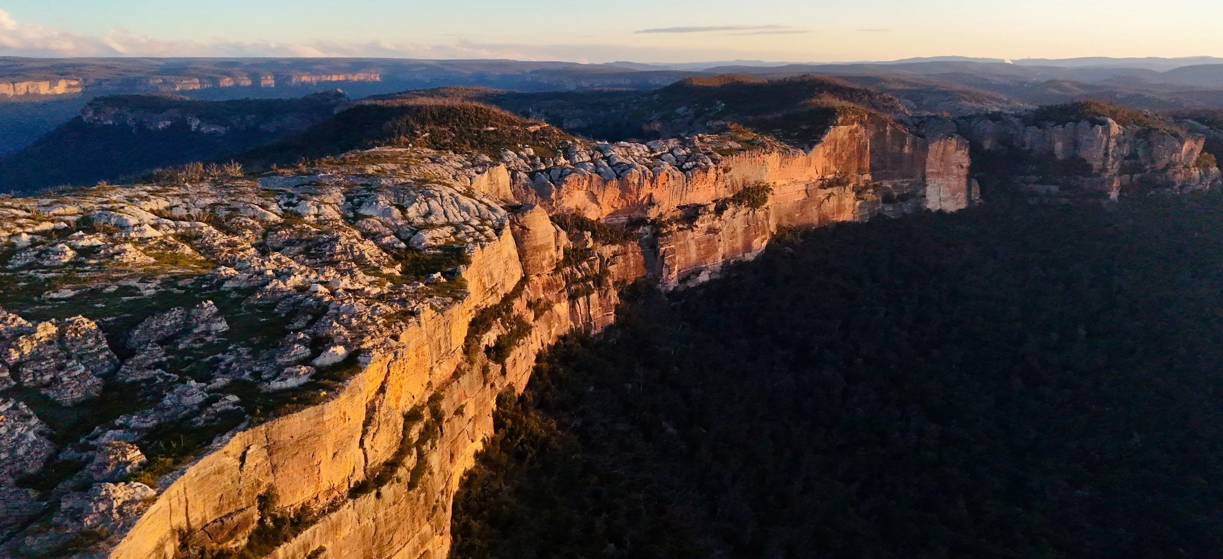
Late afternoon light on the skyline that leads to Point Cameron. Photo: Susan Mai.
Point Cameron is the name bush walkers know. Yet Point Cameron is not really the destination at all. The real attraction is the remarkable sandstone skyline that leads to it.
-
Dates walked: Apr 2023, Jul 2023, Jul 2024, Oct 2024, Oct 2025
Distance: Approximately 12 km return
Elevation gain: 300 m (estimate)
Grade: 5 (Off-track. Long sections of route-finding through scrub, pagoda country, steep descents and ascents, minor scrambling and exposure near cliffs.)
Location: Wolgan State Forest and Gardens of Stone National Park
Maps: NSW Topographic 1:25,000, BEN BULLEN
Photography: All photographs by and © Sandstone Symphony, unless noted otherwise.
Conditions: The photographs and observations are from five separate visits in a range of conditions. The landscape is still recovering from the 2019–20 bushfires, with extensive and thick regrowth affecting access while also opening many views along the escarpment.
Notable features: McLeans Pass, Jamison Pass, the Plain of Shards, The Pondage, Ngamperi (the Nipple), Stargate Tunnel, extensive pagoda complexes and uninterrupted views across the Capertee Valley to Pantoneys Crown and Baal Bone Point.
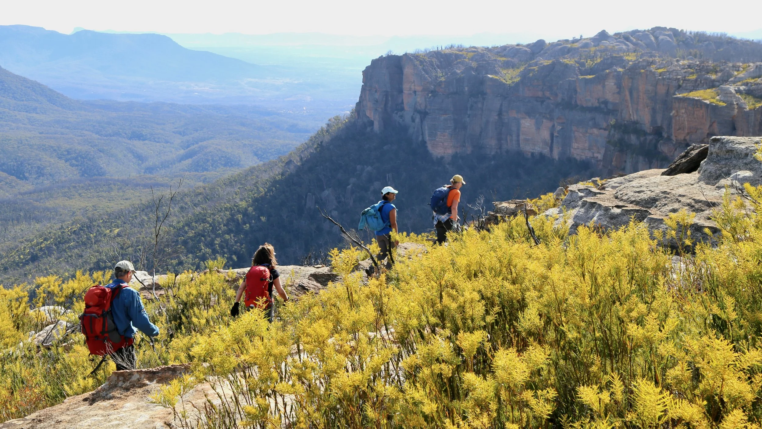
Walking the skyline beyond McLeans Pass, with the Capertee Valley below.
At first the walk gives little away. From the vehicles, the route climbs onto McLeans Pass Ridge and follows a long stretch of scrubby forest. Progress is steady rather than rapid. The scrub appears determined to participate in the navigation.
Glimpses occasionally appear through the scrub, including views into the Wolgan Valley and across to Donkey Mountain, but little prepares you for what lies ahead.
McLeans Pass provides the first real change of character. The route drops down a wide ramp into the thickly vegetated pass before climbing out via another sandstone ramp on the far side. Once back on the ridge, the intricate pagoda country of Mount McLean rises beyond the gap.
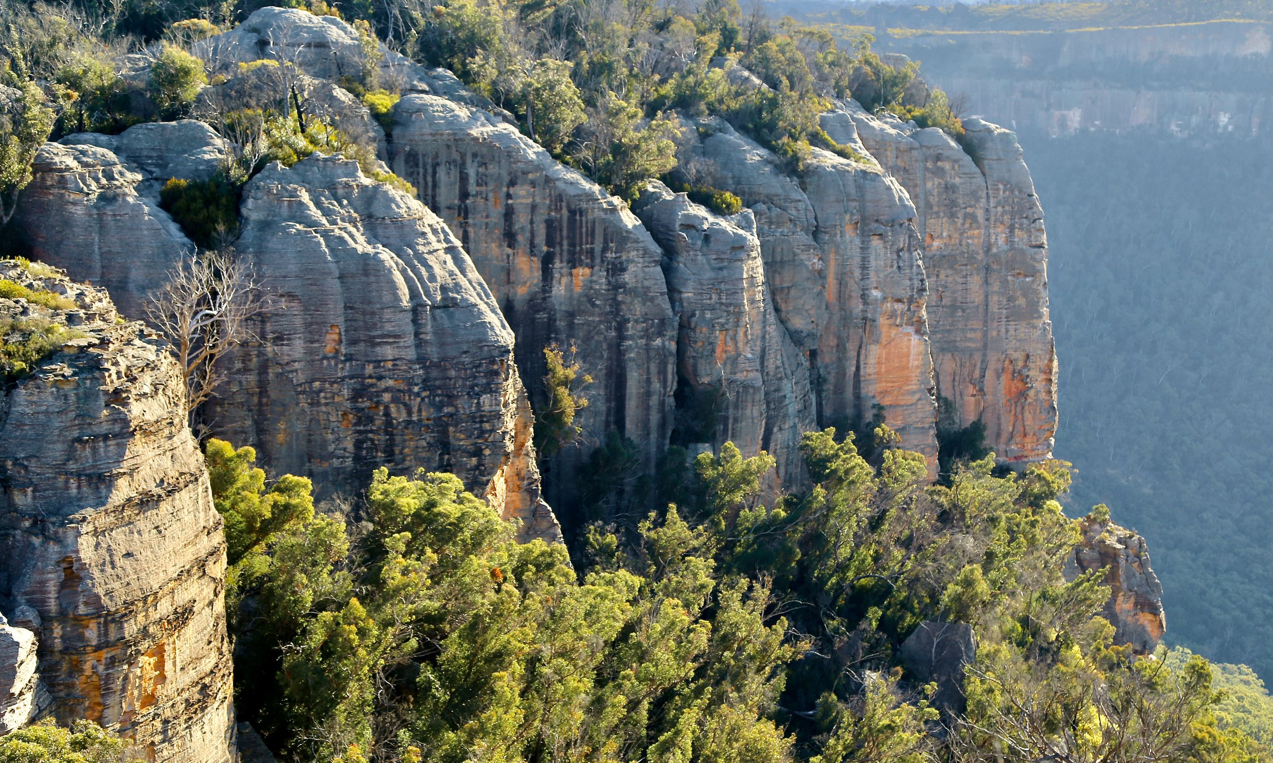
The northern cliffs of Mount McLean viewed from across McLeans Pass.
Hours of scrub give way and the skyline finally reveals itself. It is open country on scale that is difficult to anticipate.
Ahead, the divide curves away along the edge of the Capertee Valley, first to the north-east and then north. Across the immense expanse of the valley sits Pantoneys Crown, its tall flat-topped profile immediately recognisable. For much of the day it remains in view, acting as both landmark and companion.
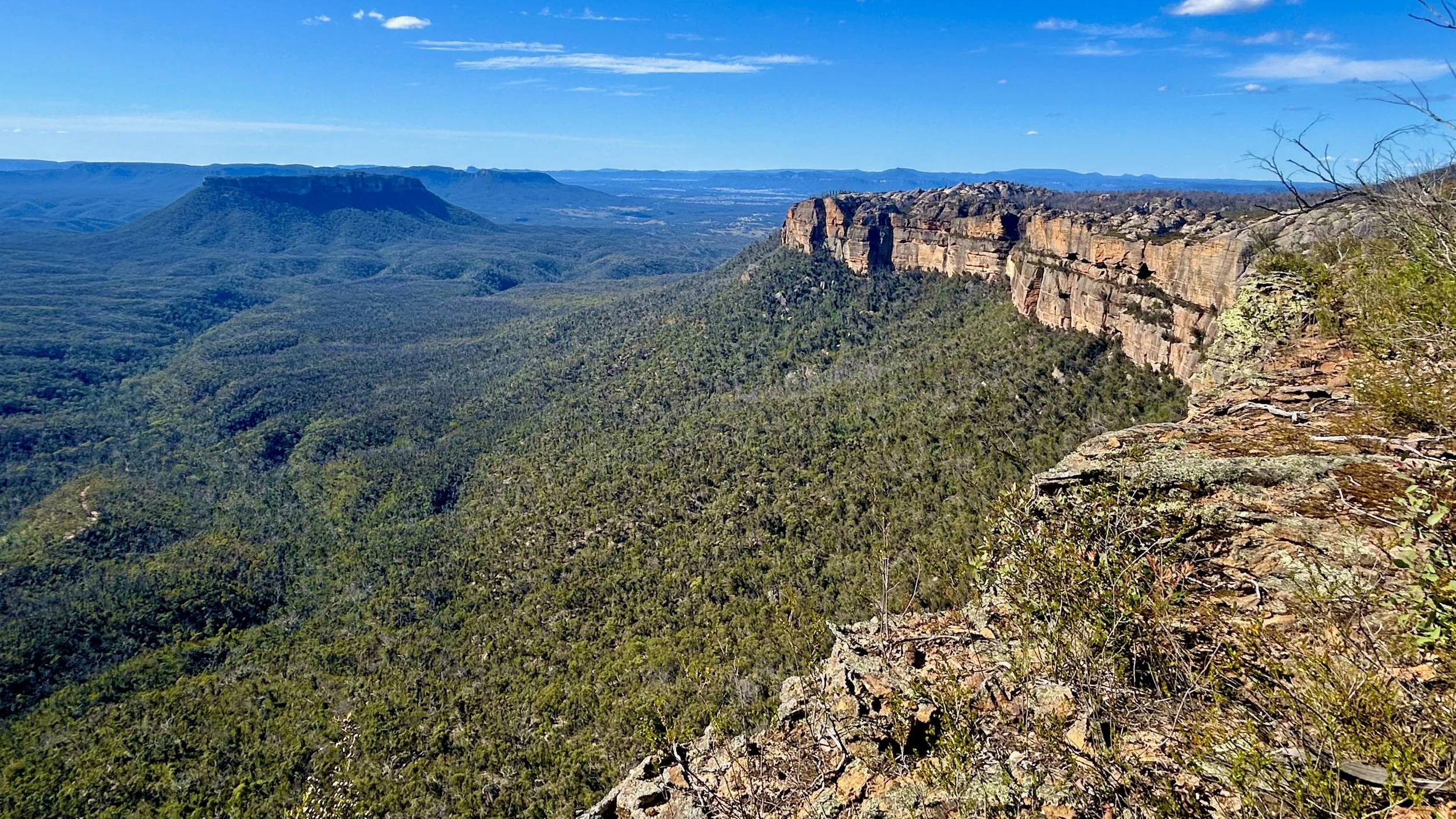
The first reveal of the route ahead: Pantoneys Crown across the valley, with the sandstone skyline leading towards Point Cameron.
Before every return visit, we found ourselves wondering whether the landscape could really be as impressive as we remembered.
It always is.
Most places lose a little of their magic with familiarity. This one never has. If anything, repeated visits have only deepened our appreciation of the country.
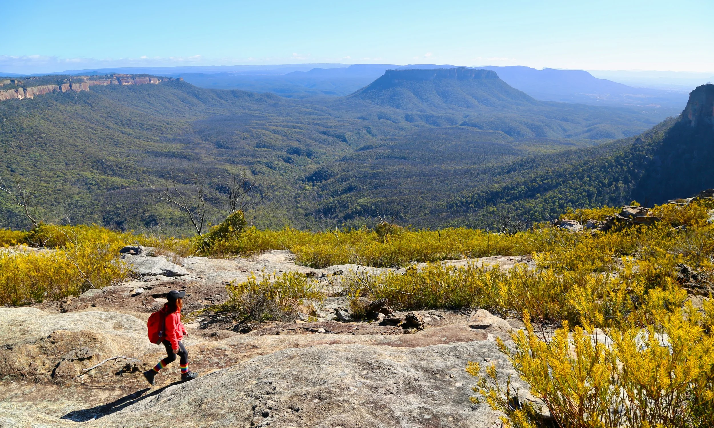
The skyline again — familiar by now, and no less astonishing.
Rather than leading to a single lookout, the walk follows the skyline itself. It weaves through pagodas, over rounded rises and across broad sandstone platforms, sometimes close to the escarpment, sometimes a little behind it. The views are part of the journey rather than its destination.
The sandstone architecture of the divide is revealed with unusual clarity, the vegetation still returning after the 2019–20 fires.
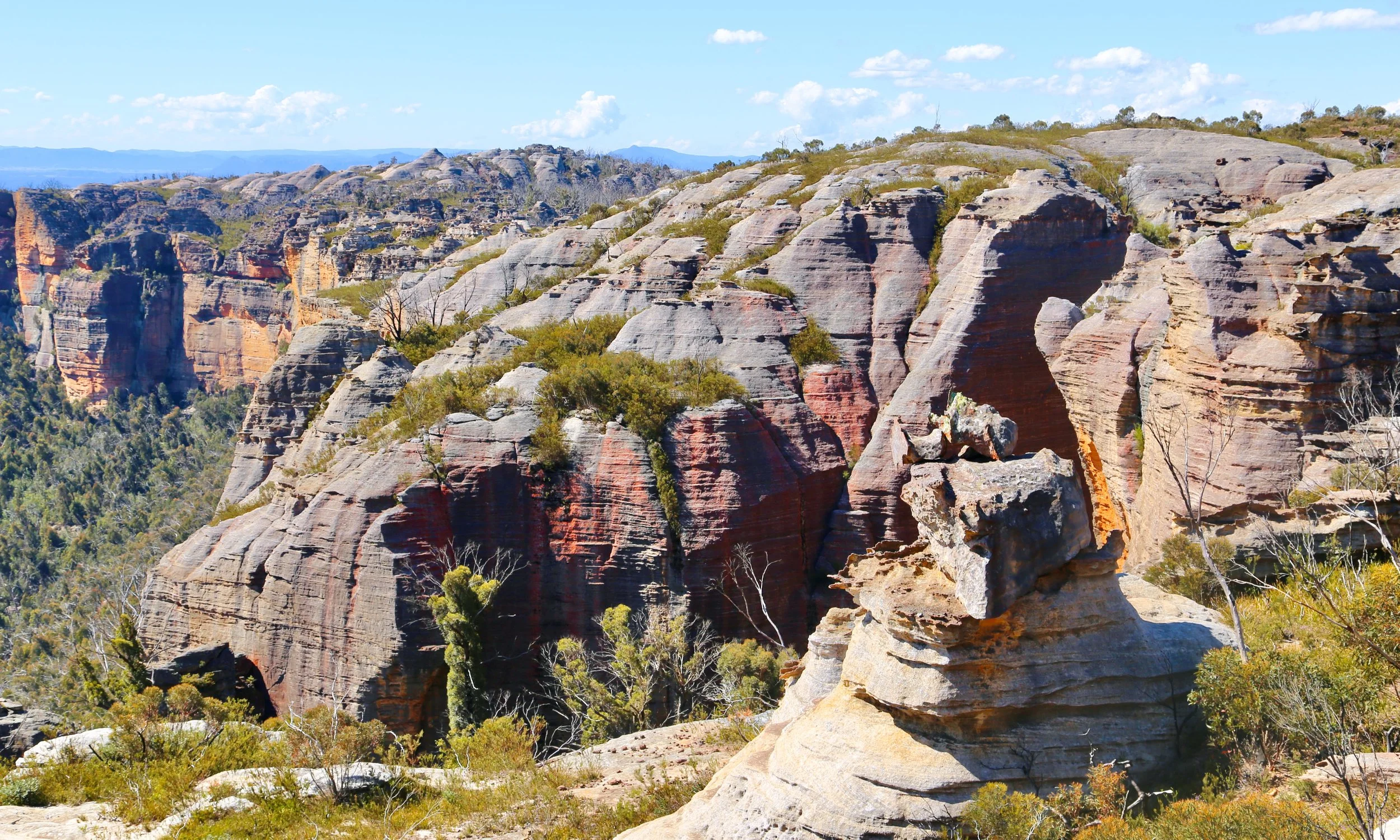
Approaching Jamison Pass - the sandstone architecture of the skyline remains exposed following the 2019/2020 fires.
As the divide unfolds, each section develops its own distinct character.
Beyond McLeans Pass the first formations are broad and low, appearing almost molten as they spread across the ridge. Many seem to be slowly melting towards the cliff edge, their rounded forms spilling over the escarpment and freezing in place above sheer walls of pink and ochre sandstone.
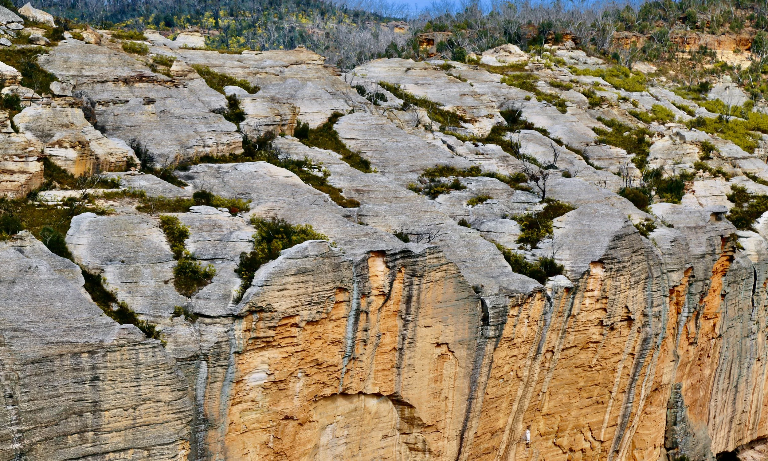
Molten pagodas along the skyline, seeming to melt over the cliff edge.
Jamison Pass is a dramatic interruption to the skyline. A great gap cuts through the escarpment, its towering grey cliffs washed with broad swathes of pink and purple, crowned by a series of broad, rounded pagodas that fold over the escarpment towards the valley below. It is difficult to hurry through a place like this. But then a more practical question arises: how do we get across? From a distance the route forward appears unlikely. Closer inspection does little to improve confidence.
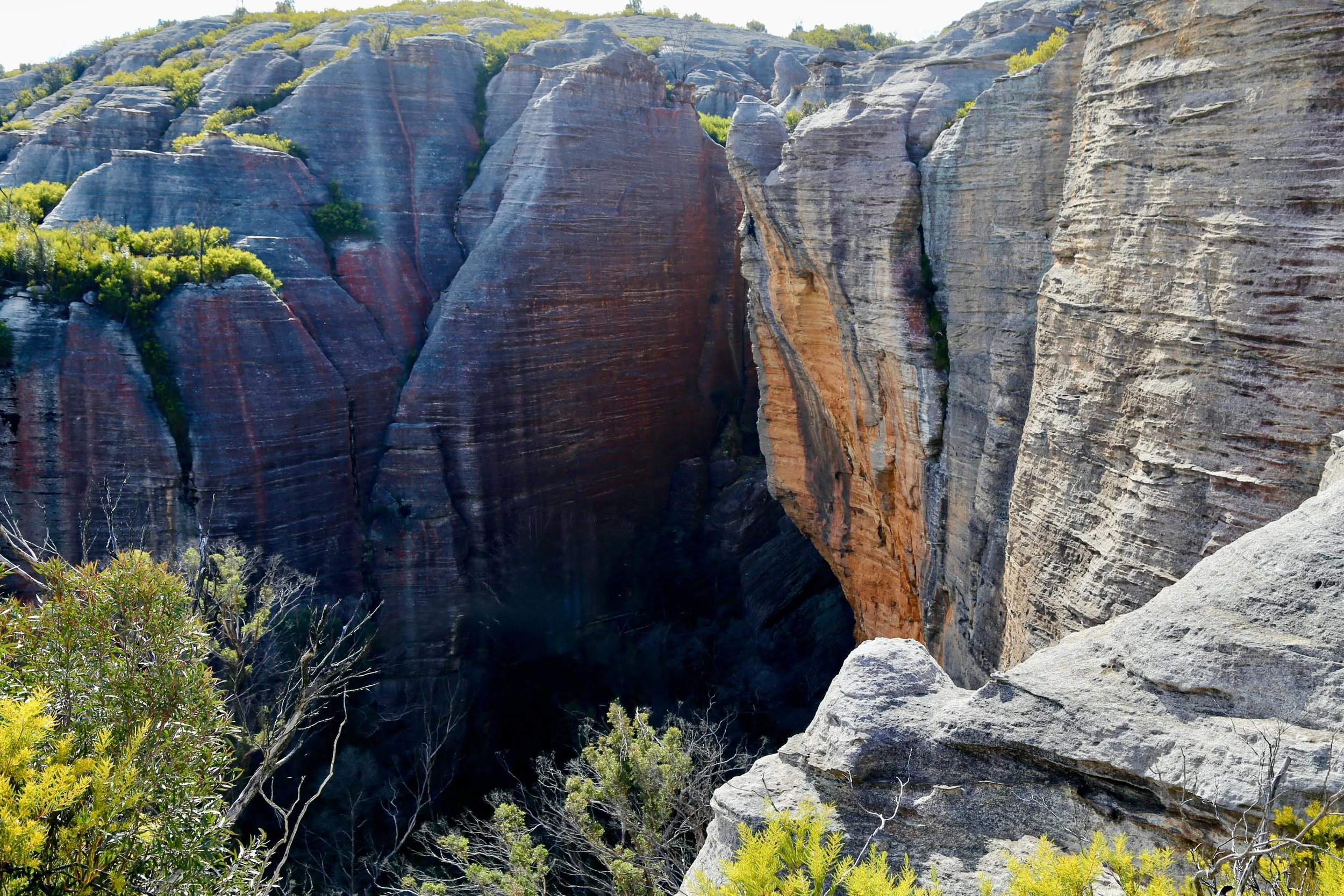
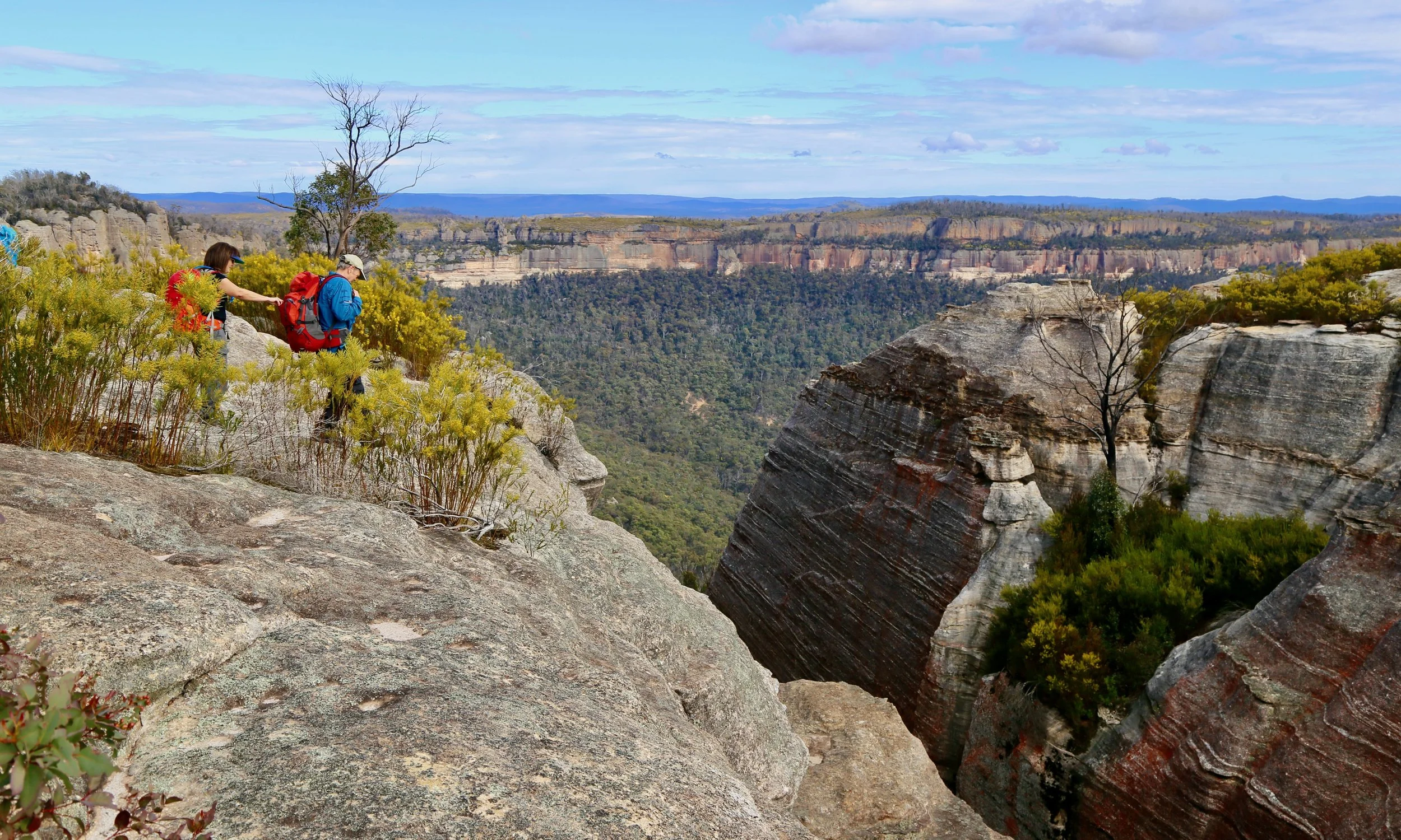
The solution lies back from the edge, where a descent into the gap eventually reveals a passage through. Emerging on the other side, the skyline reappears, now even closer to the sprawling pagoda country stretching ahead.
Immediately beyond Jamison Pass the divide broadens into a gently sloping sandstone platform. Across the pale sandstone lie countless ironstone plates and fragments, the larger ones piled into low clusters, and many more smaller ones scattered widely across the surface. The Bush Explorers call it the Plain of Shards. David Noble calls it the Exploded Pagoda.
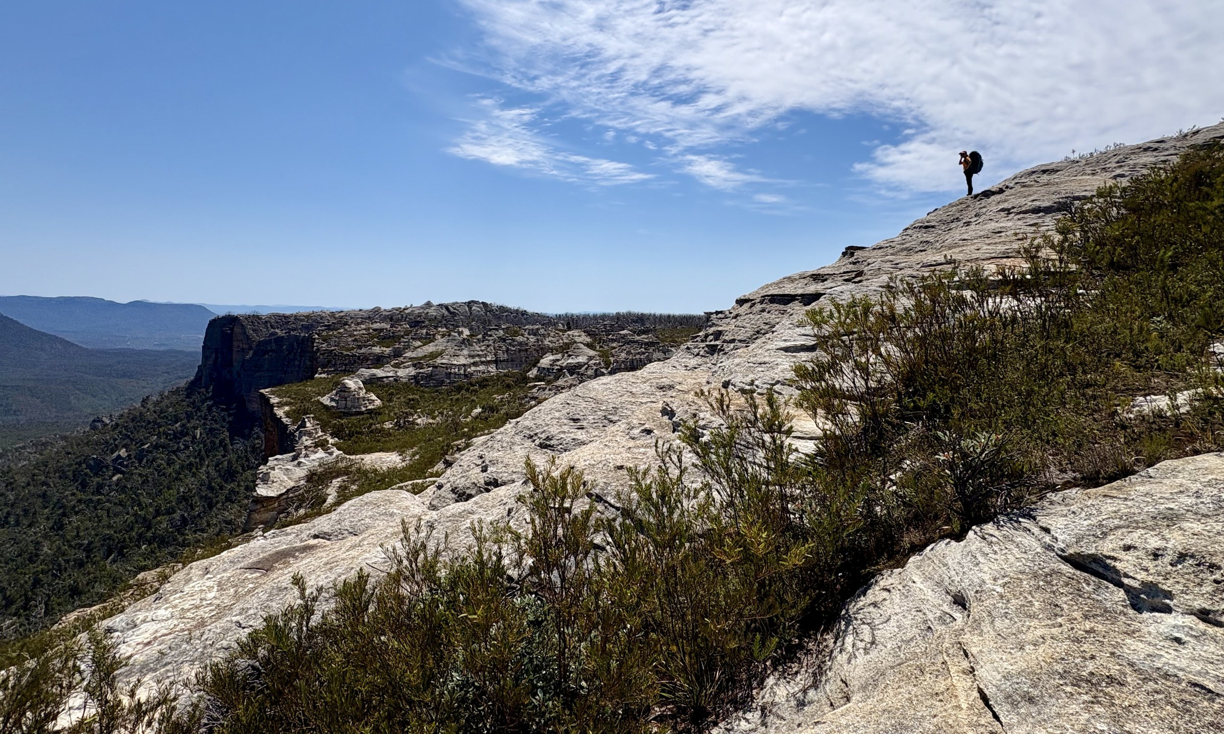
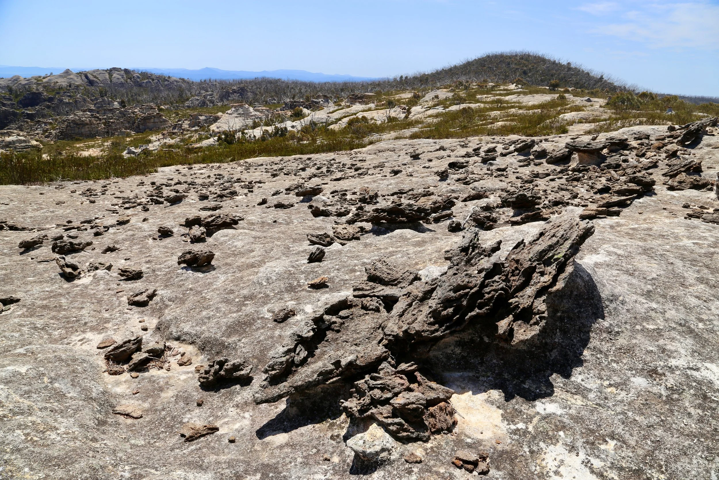
The broad platform provides easy walking. The eye, however, is constantly drawn back to the cliffs.
As the walk continues, the pagodas change once again. A field of flatter, layered structures – many seemingly with steps – sits above the cliffline. Thin ironstone caps create broad, plate-like pagodas stacked one upon another, giving this section of the divide an entirely different character.
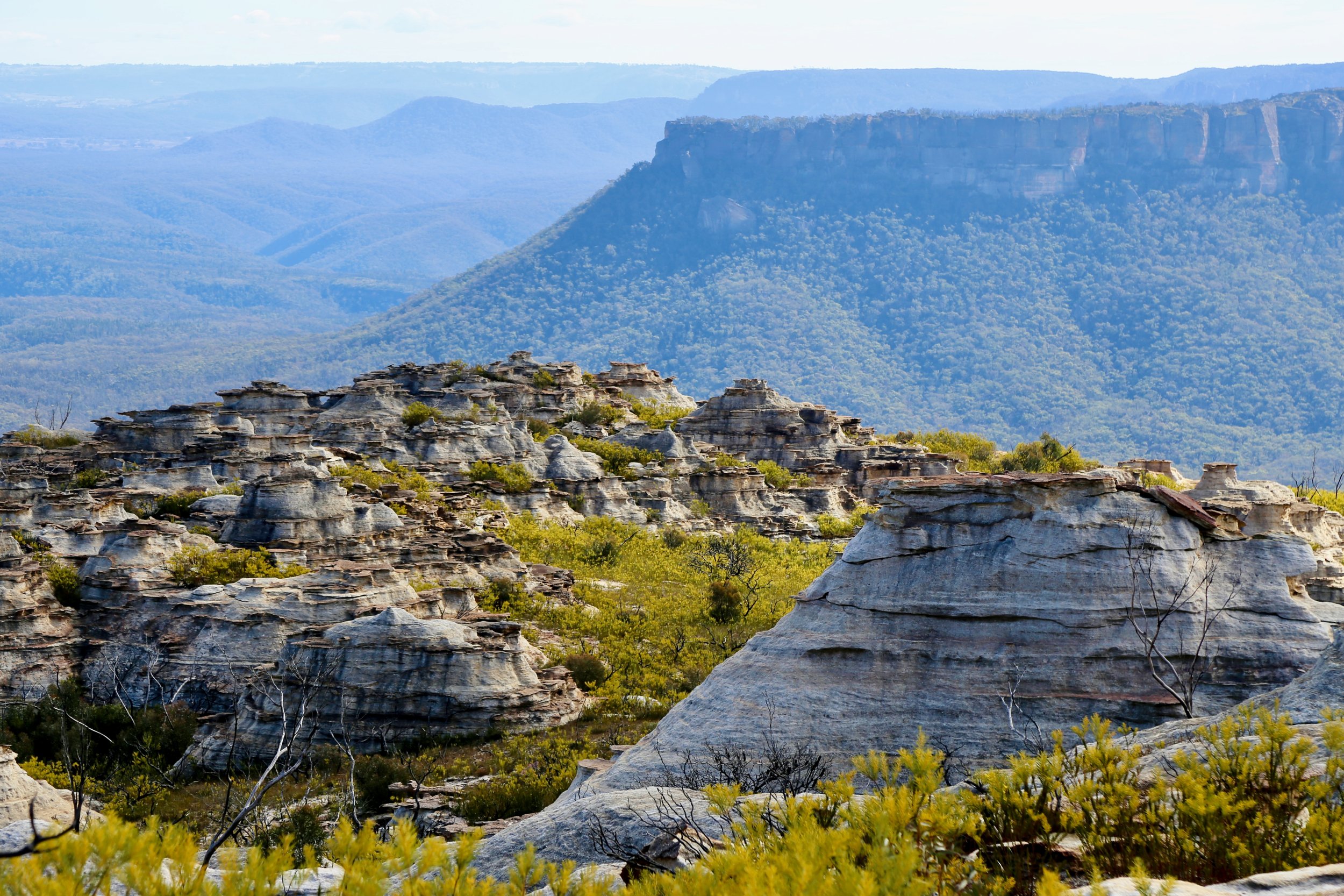
Beyond Jamison Pass lies a clifftop field of platy pagodas, their thin ironstone banding stacked across the skyline.
Further north the divide drops into a broad, flat sandy hollow known as The Pondage. In wet weather water can gather here, but it usually feels almost lunar. Before the fires, a grove of tea-trees softened the hollow and made it one of the divide's favourite campsites. Today, the landscape has an altogether harsher character.
Beyond the Pondage the pagodas transform for a final time. They become taller, rounder and more prominent than those behind us, though still broad rather than tower-like. Picking a way through the corridors between them gradually leads towards the great grey dome of Ngamperi Rock—perhaps better known to many walkers as the Nipple. Climbing onto its summit reveals one of the finest viewpoints on the skyline before the final stretch to Point Cameron.
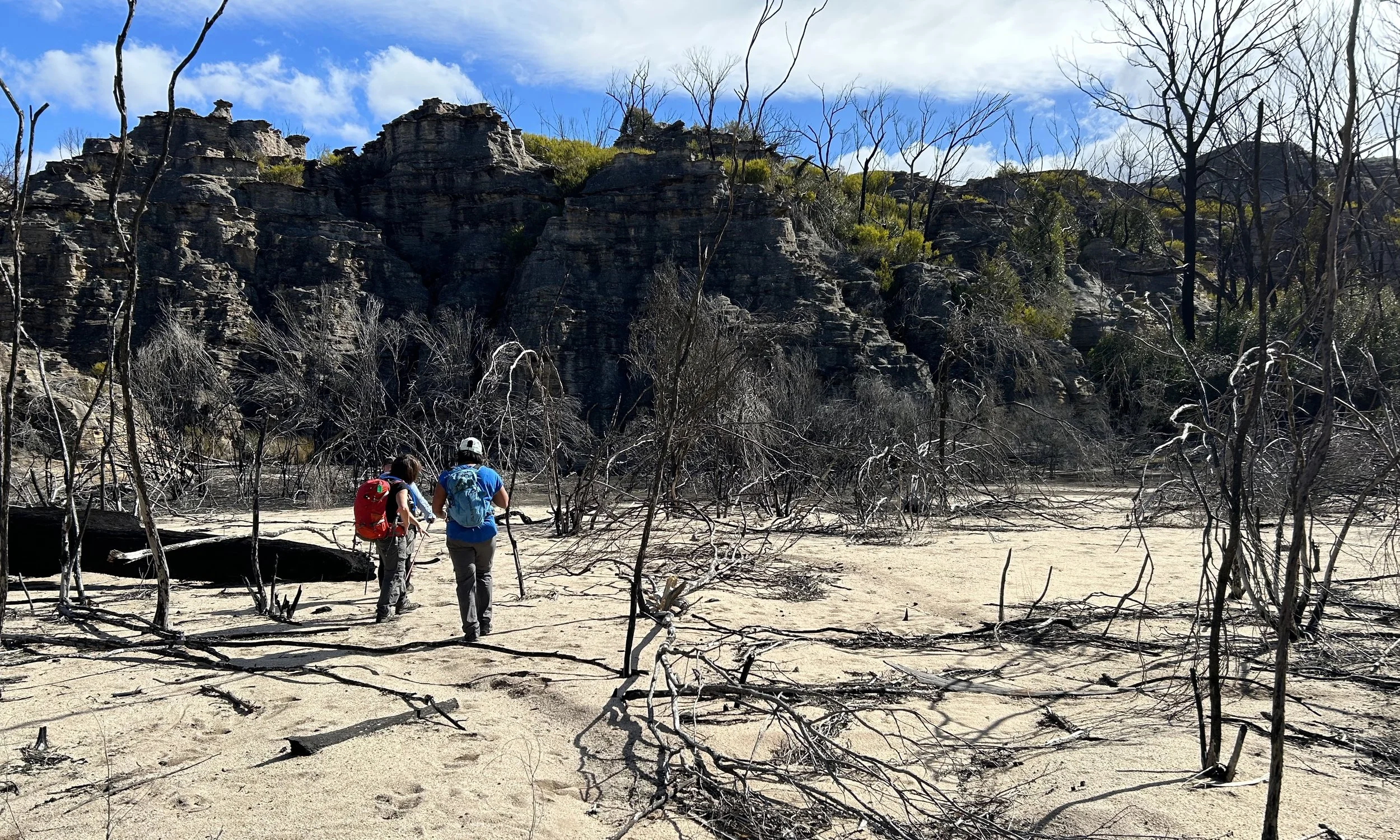
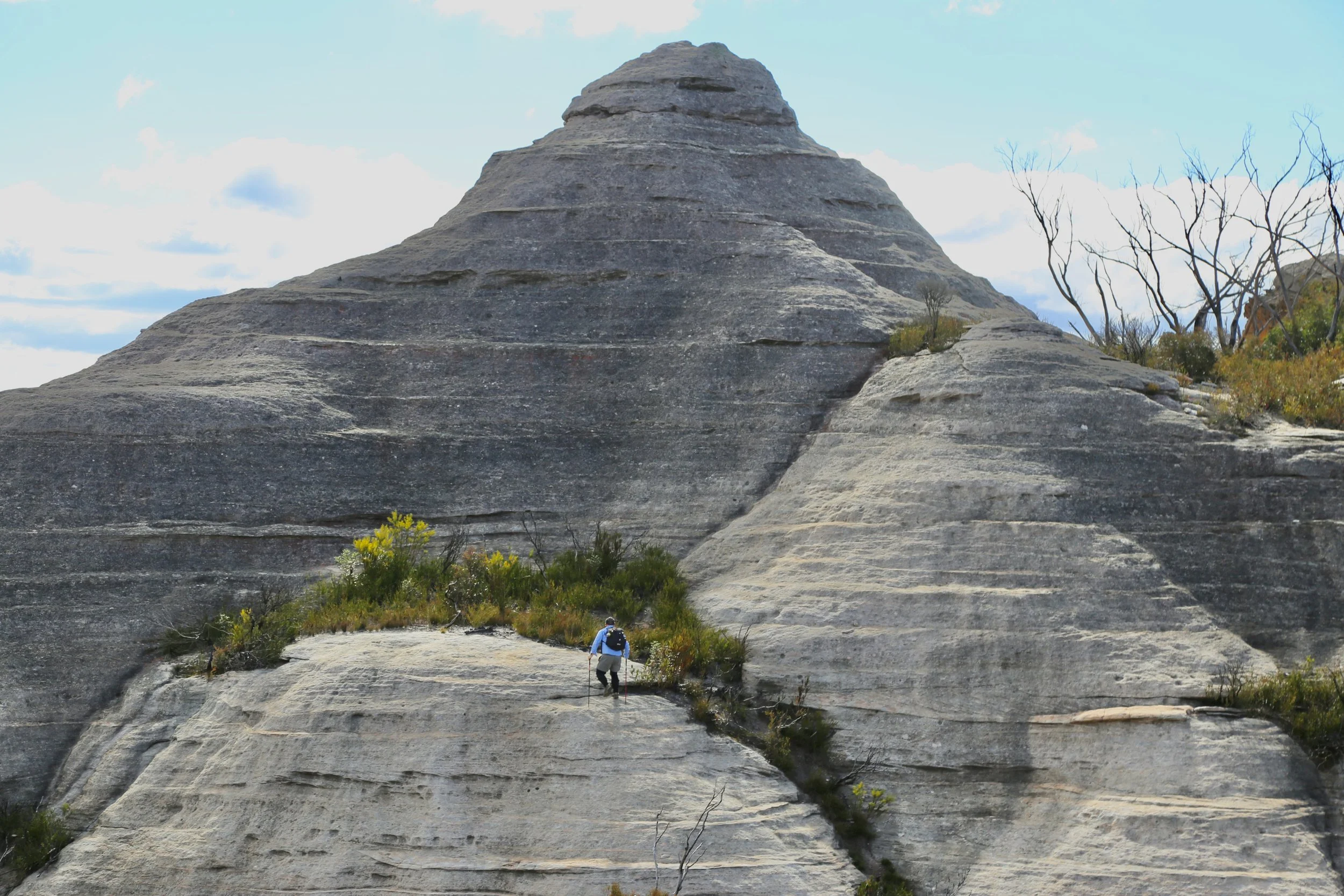
The final approach is perhaps the slowest part of the day. Dense scrub fills the spaces between the pagodas and the easiest route often lies directly across the rock itself. Choosing the correct pagoda matters. Choose well and one has elegant passage through the scrub. Choose poorly and the route terminates six metres above the landscape with a helpful reminder to reconsider.
Eventually Point Cameron is reached. Pantoneys Crown now stands almost directly opposite across the Capertee Valley, while Mount Stewart lies further north along the continuing divide. It is a magnificent viewpoint, but by now it no longer feels like the destination.
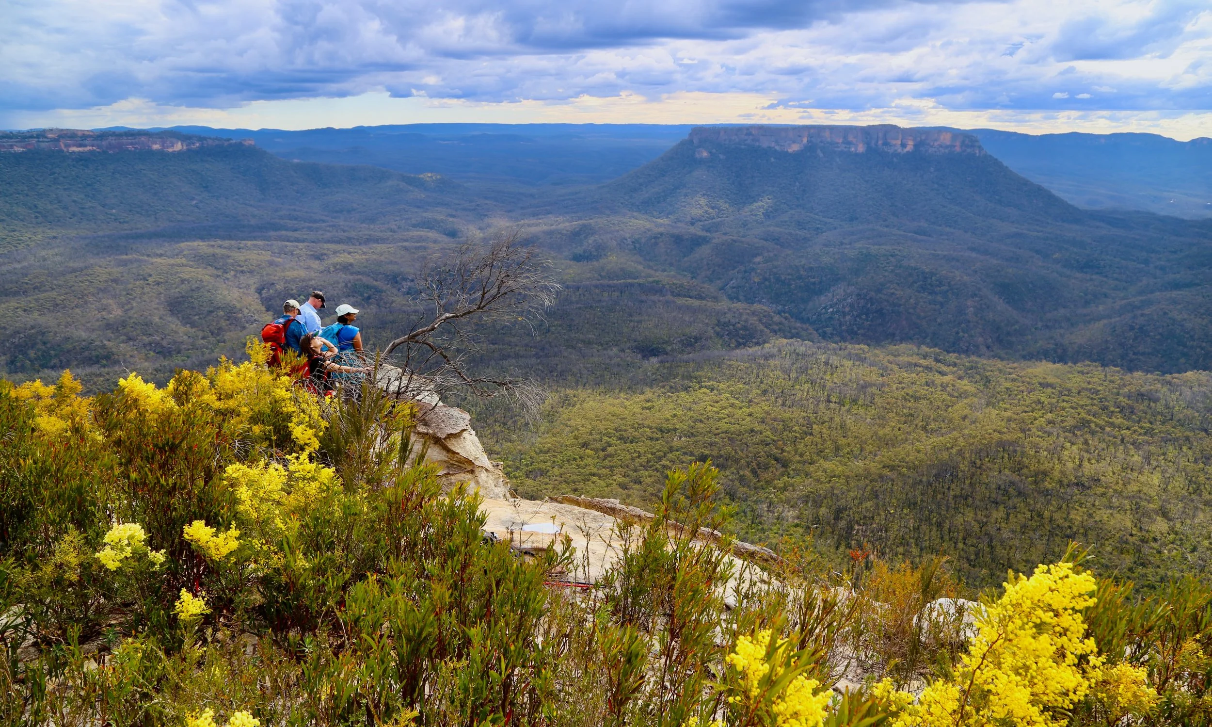
Finally at Point Cameron, with wattle in bloom and Pantoneys Crown rising from Capertee Valley.
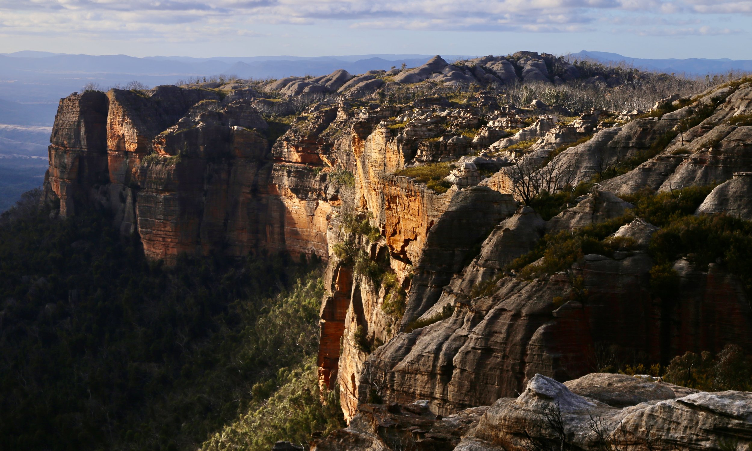
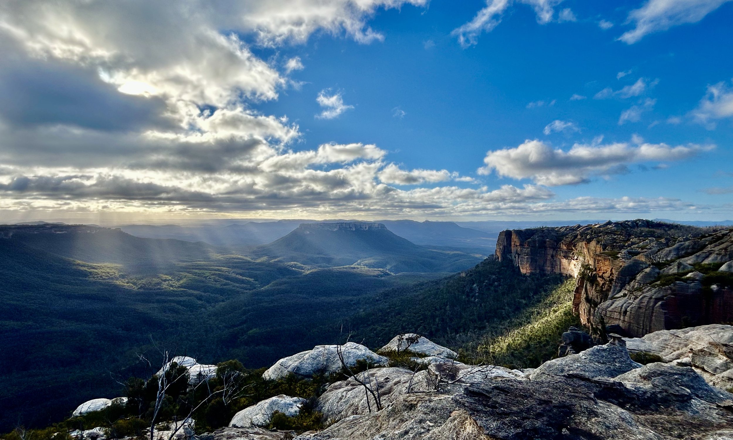
The return journey proves just as memorable as the outward walk. Afternoon light sweeps across the cliffs, revealing colours that had been hidden in the middle of the day. The sandstone shifts from pale grey to warm salmon and gold. Long shadows form among the pagodas. Sunbeams break through gaps in the clouds and drift across the valley floor.
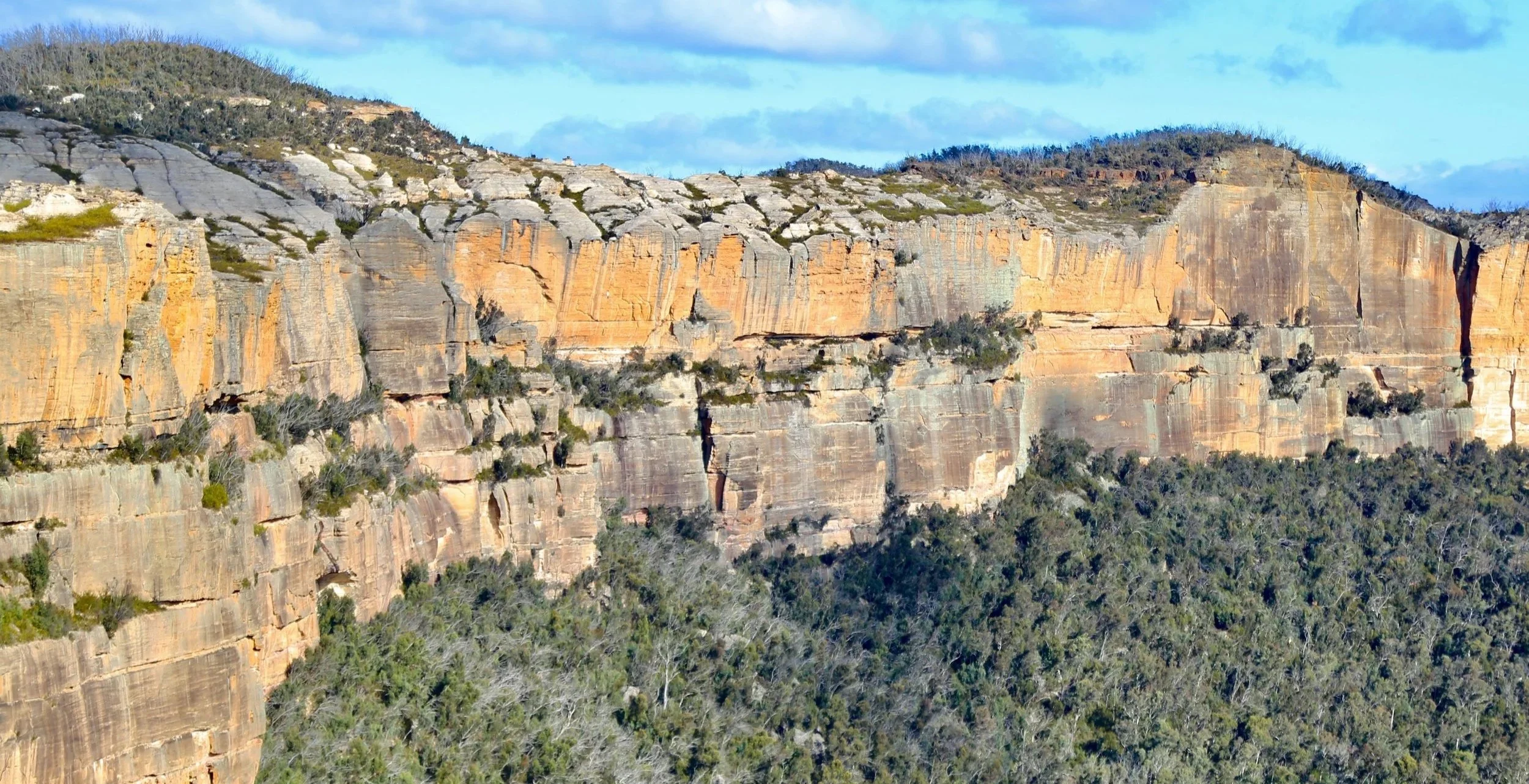
Near Point Cameron, looking back along the skyline that led us there.
Returning to McLeans Pass, one final detour along its base leads to Stargate Tunnel. Two towering sandstone walls lean together to form a lofty natural portal. Inside is a logbook. After a day spent contemplating vast landscapes and geological timescales, it feels strangely reassuring to find a collection of muddy signatures and brief messages tucked between the leaning walls.
By the time McLeans Pass is climbed once more and the scrub closes in along the ridge, the cliffs have disappeared from sight.
Point Cameron may be the name on the map. The skyline is what you remember.