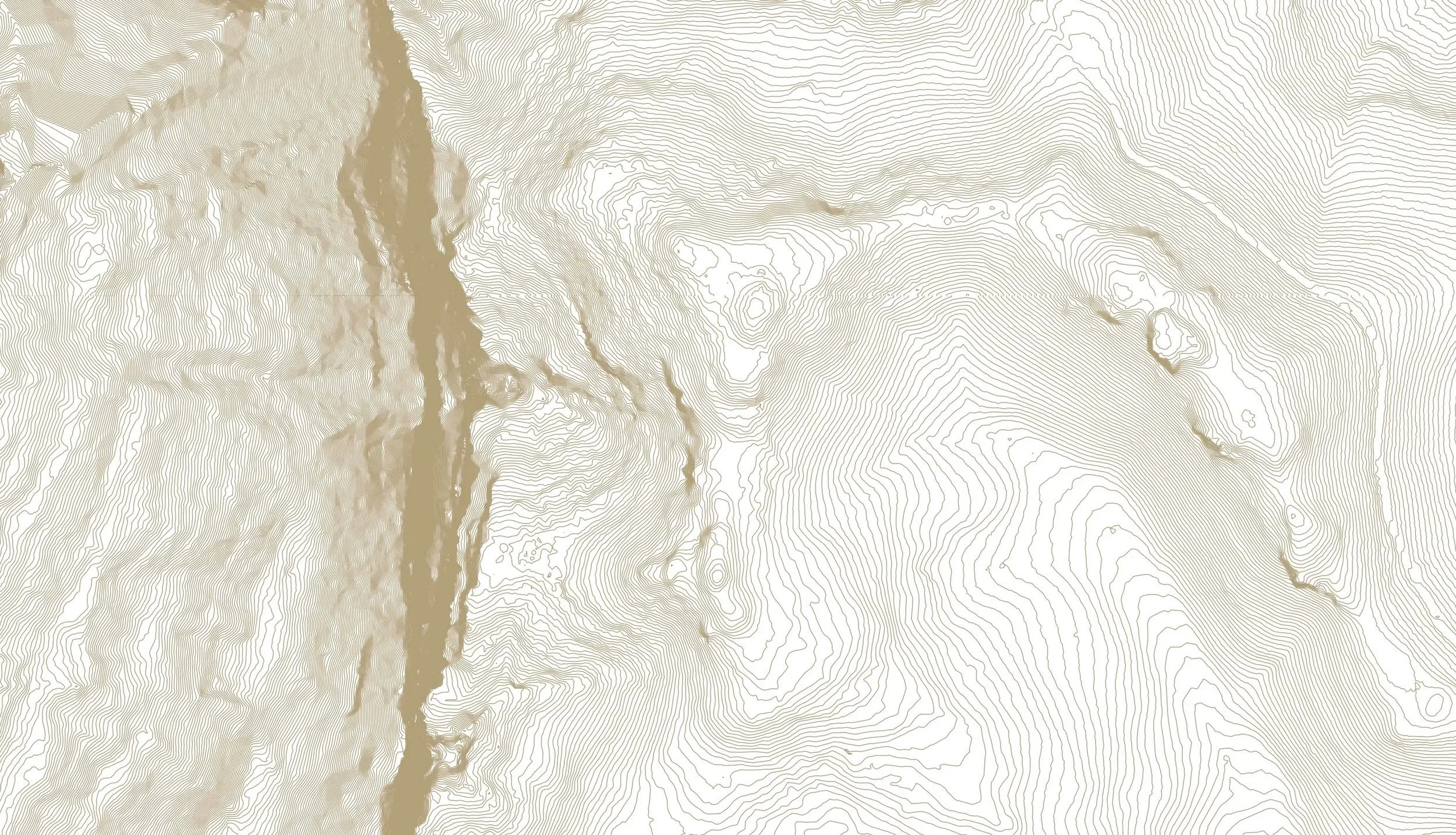
A Chelonian Rock
Beyond Kedumba Valley Road, a turtle-like sandstone formation led to cliffs, narrow ledges and an unexpected way through.
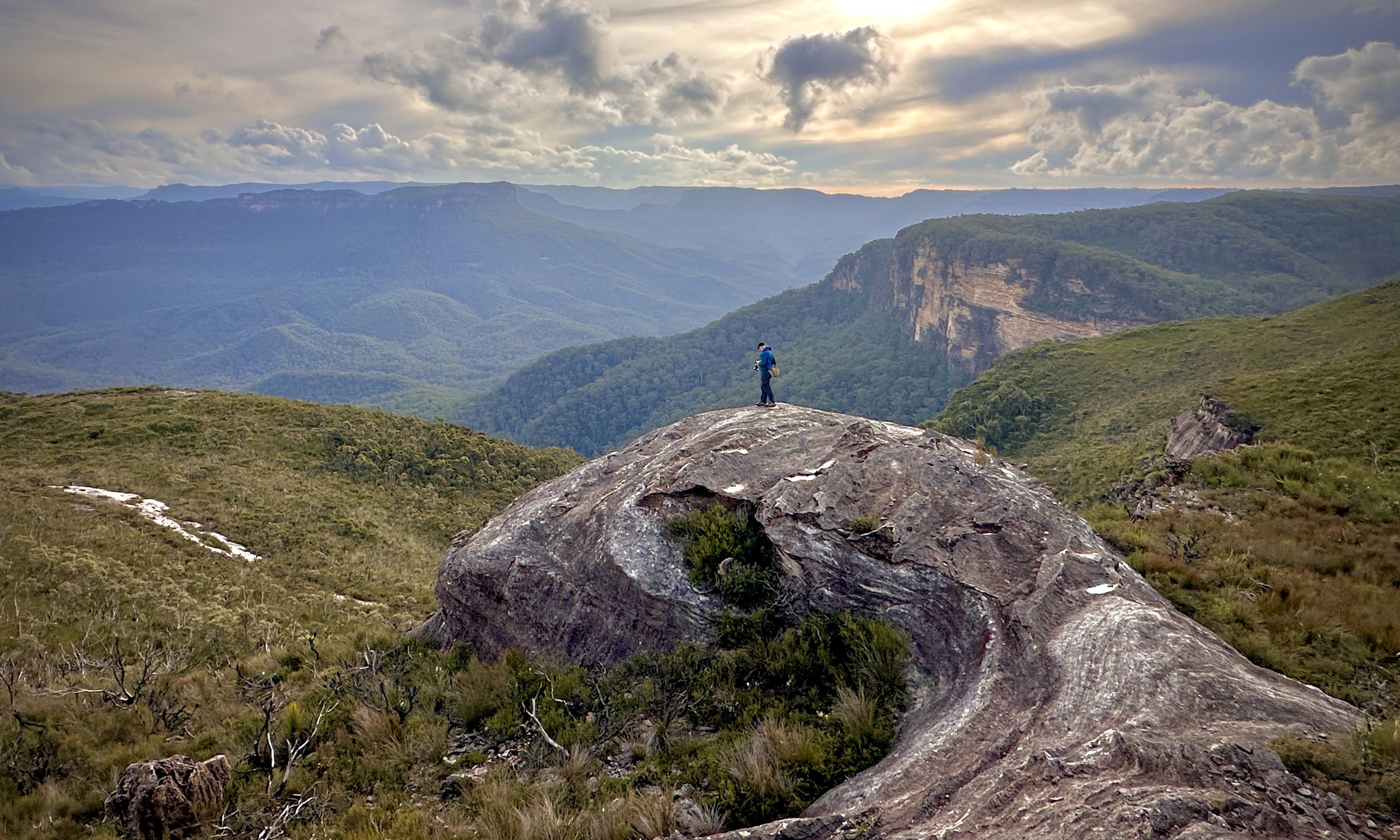
A rock formation, rather chelonian in appearance, sits above the Kedumba Valley — our entirely unofficial name for a formation first noticed in passing. Photo: Susan Mai
-
Location: Kings Tableland, Blue Mountains National Park
Distance: 2.1 km
Elevation gain: 120 m
Grade: 3
Terrain: Track and off-track sandstone ledges
Map: NSW Topographic 1:25,000: Jamison
Dates visited: December 2023 · May 2026 · July 2026
Caution: Off-track exploration beneath cliffs, with narrow ledges, unstable rock and exposure
Climbing up from the remote road, beyond a low crest on Kings Tableland, the country suddenly opens up.
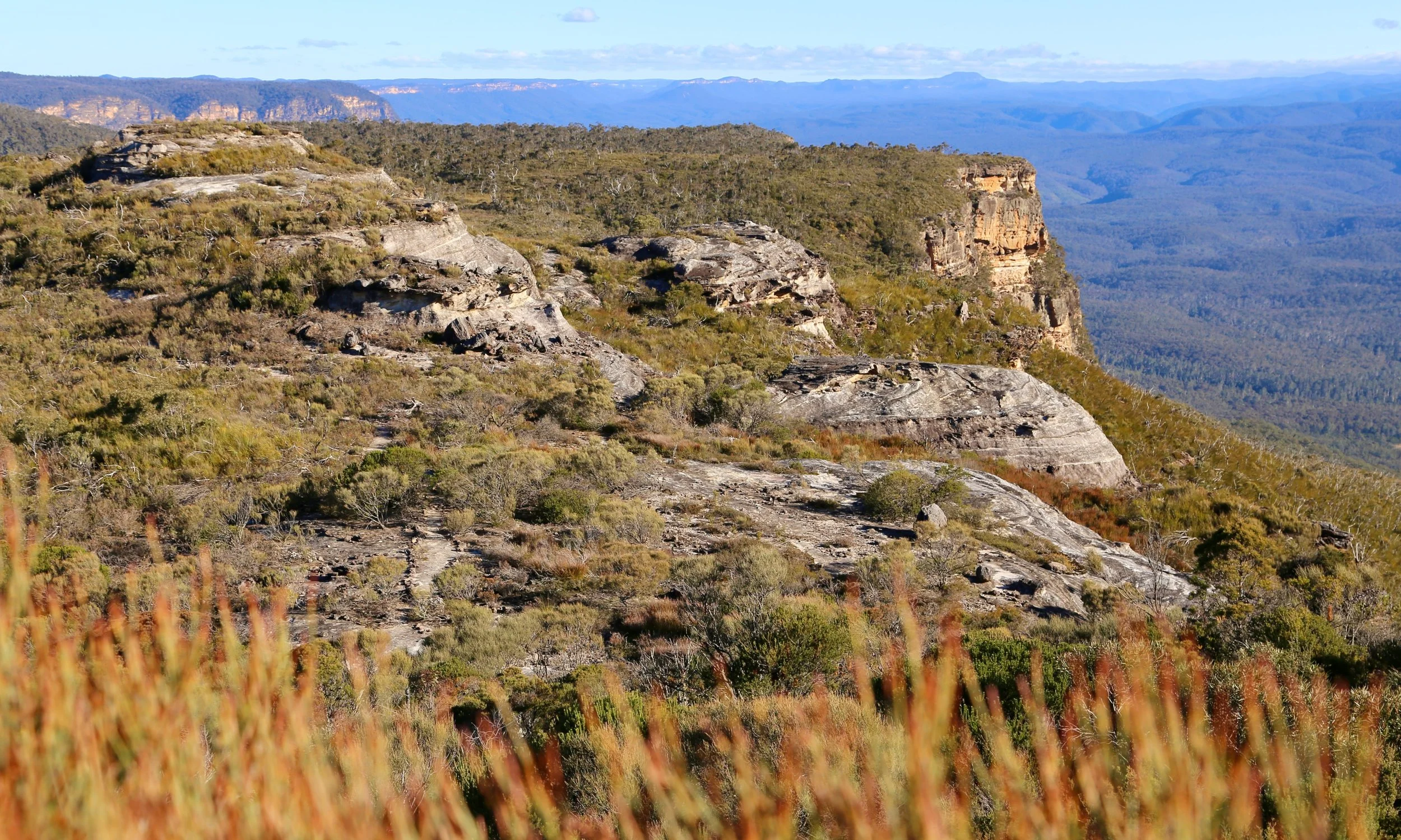
The country opens beyond the crest, with Kedumba Valley and the distant Kanangra-Boyd wilderness beyond.
To the right, the Jamison Valley stretches towards Katoomba. Directly ahead stands the eastern end of Mount Solitary. Further south-west, Kedumba Valley falls away towards the distant country of Kanangra-Boyd.
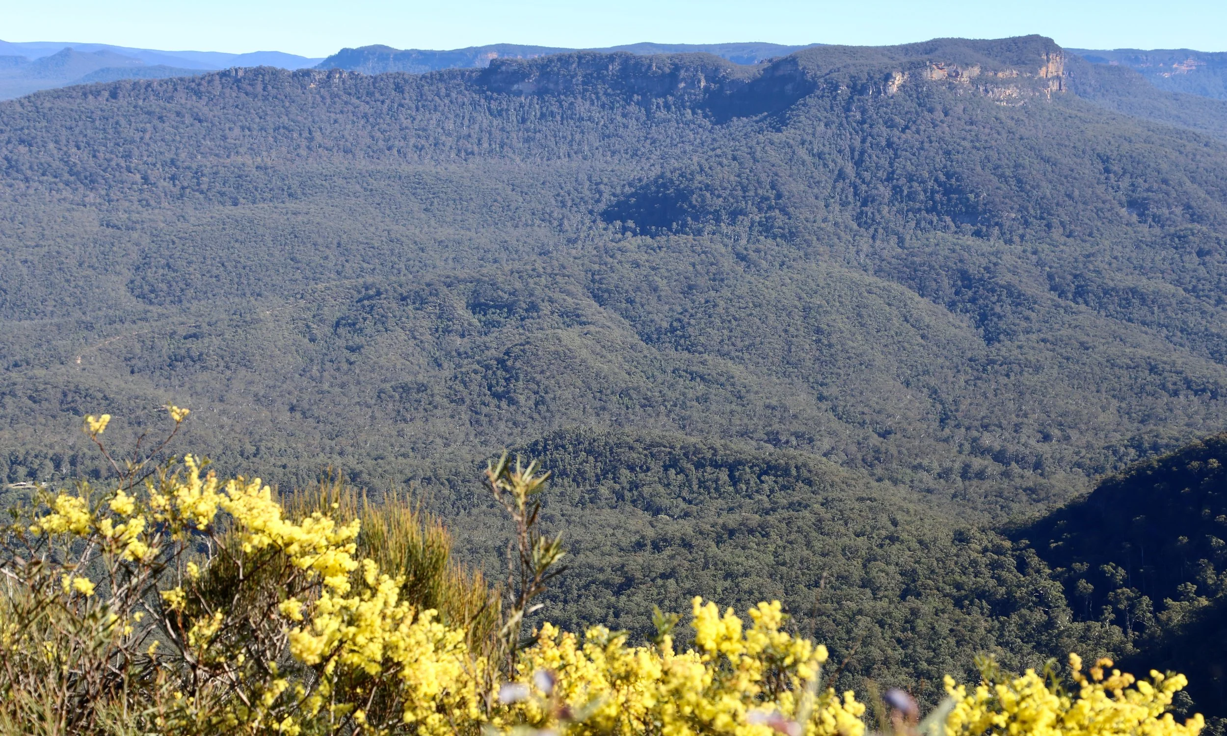
Mount Solitary’s and Repulse Point, with winter wattle along the edge of the tableland.
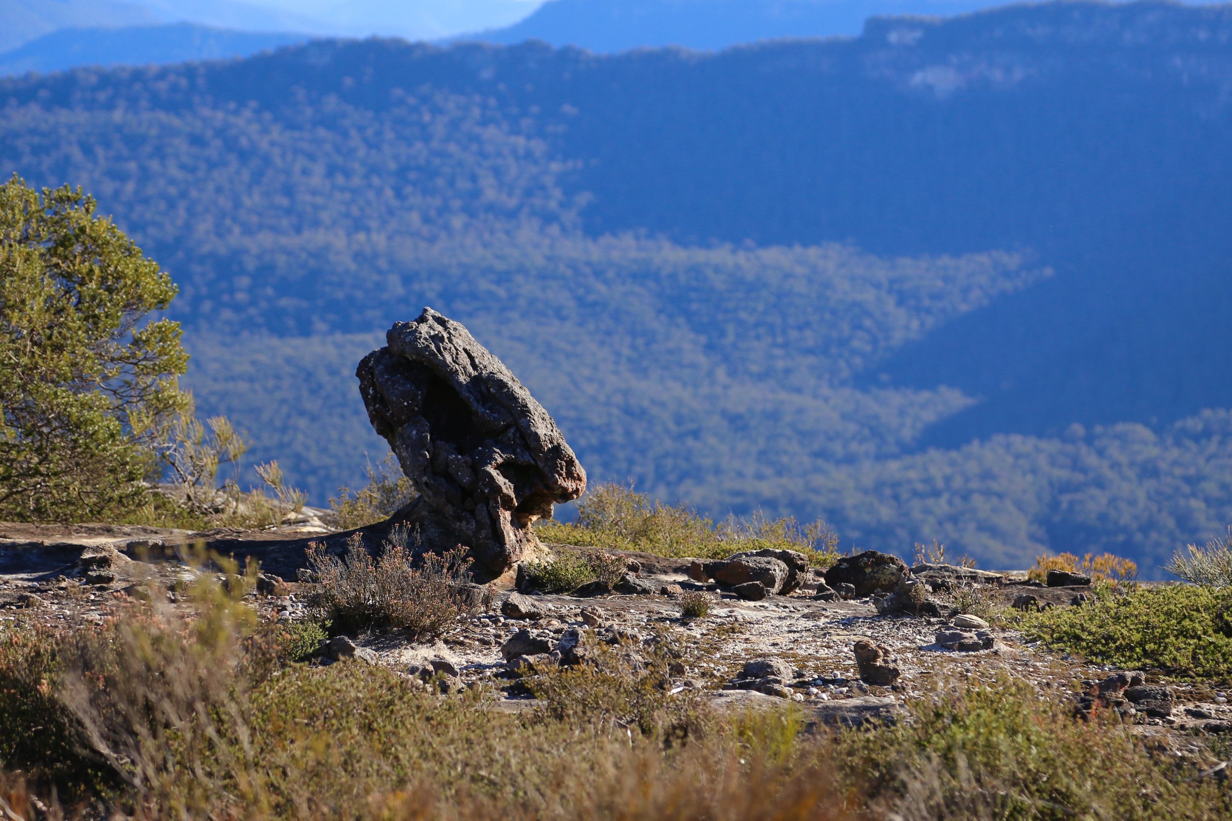
The first time we passed this way, we were heading somewhere else. We noticed a large sandstone formation beside the track, took a few photographs and kept moving.
It looked vaguely reptilian. A head, a neck, even an eye. We began calling it Snake Rock, though from some angles it looked distinctly more chelonian.
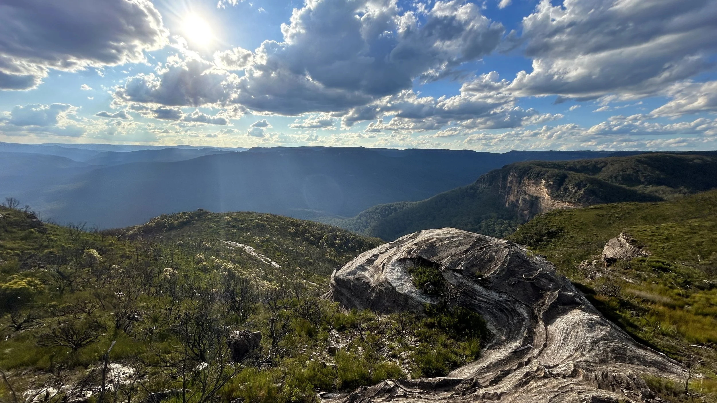
We call it Chelonian Rock.
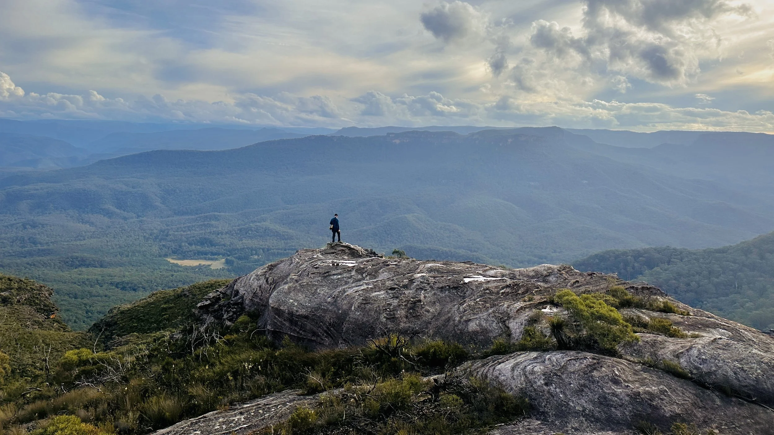
The track bends away behind a large formation, concealing what lies on its far side. Climbing onto the rock reveals the full shape: a broad sweep of sandstone curling down the slope, its surface folded into pale ribs and darker bands.
From some angles, the resemblance is obvious. From others, perhaps less so.
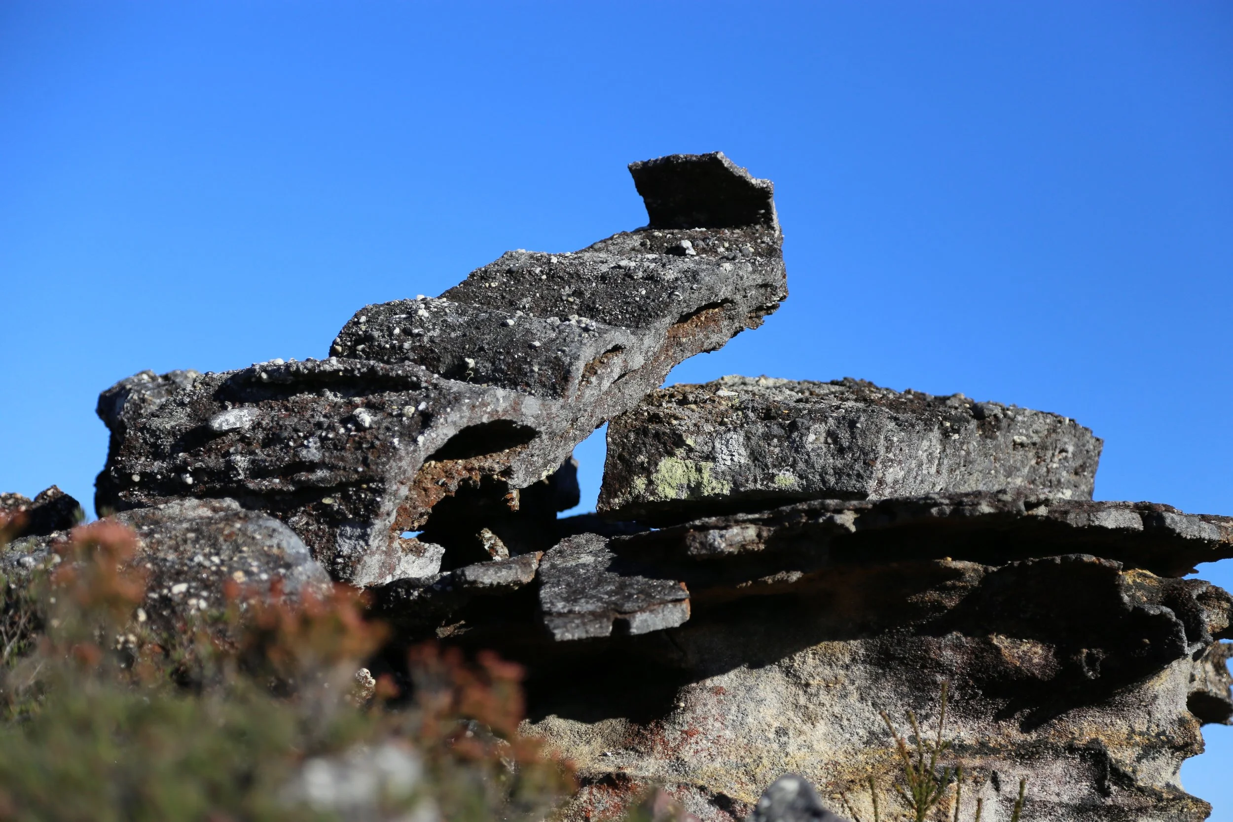
A neighbouring formation, extending the sweep of sandstone towards the cliff edge. Photo: Susan Mai
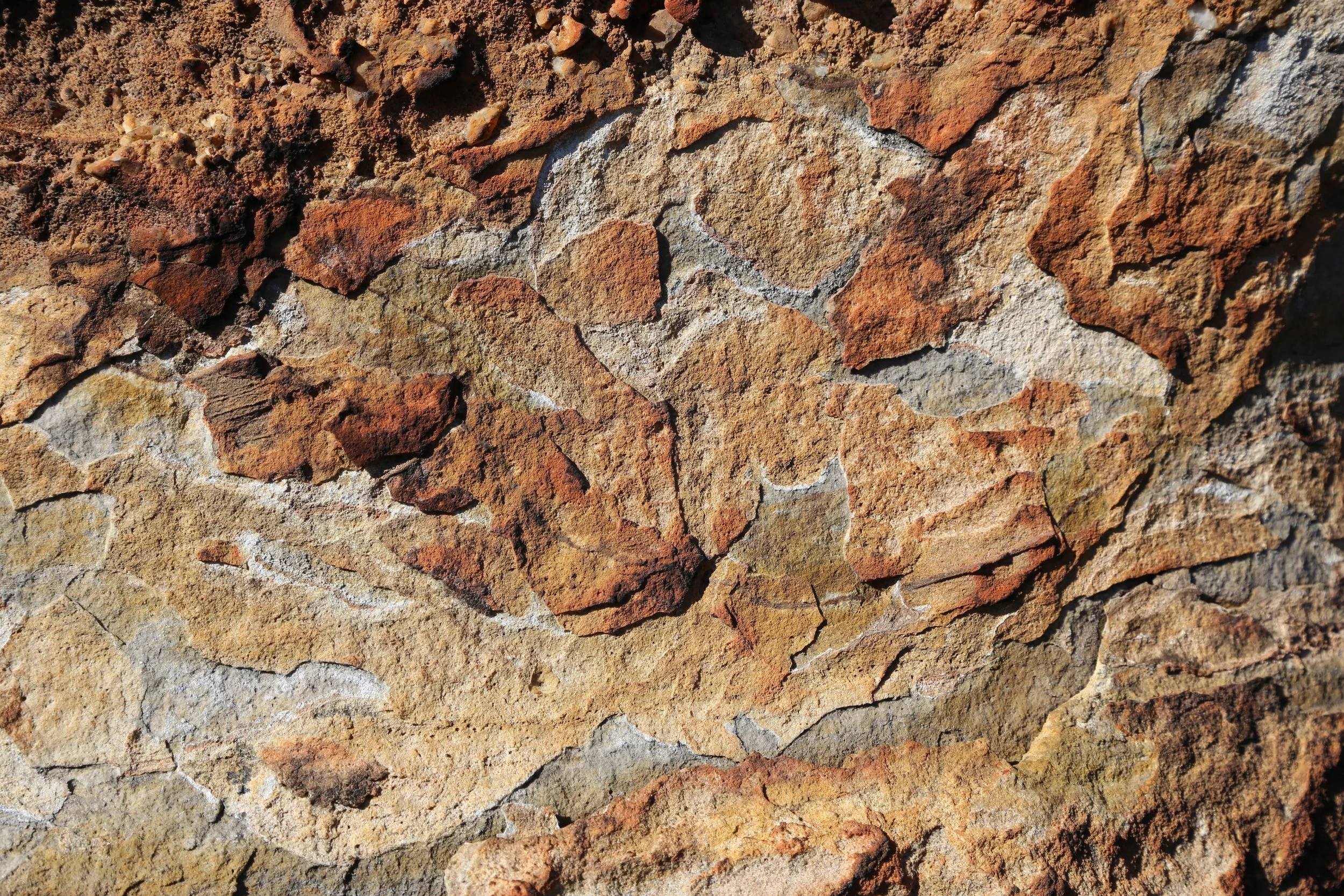
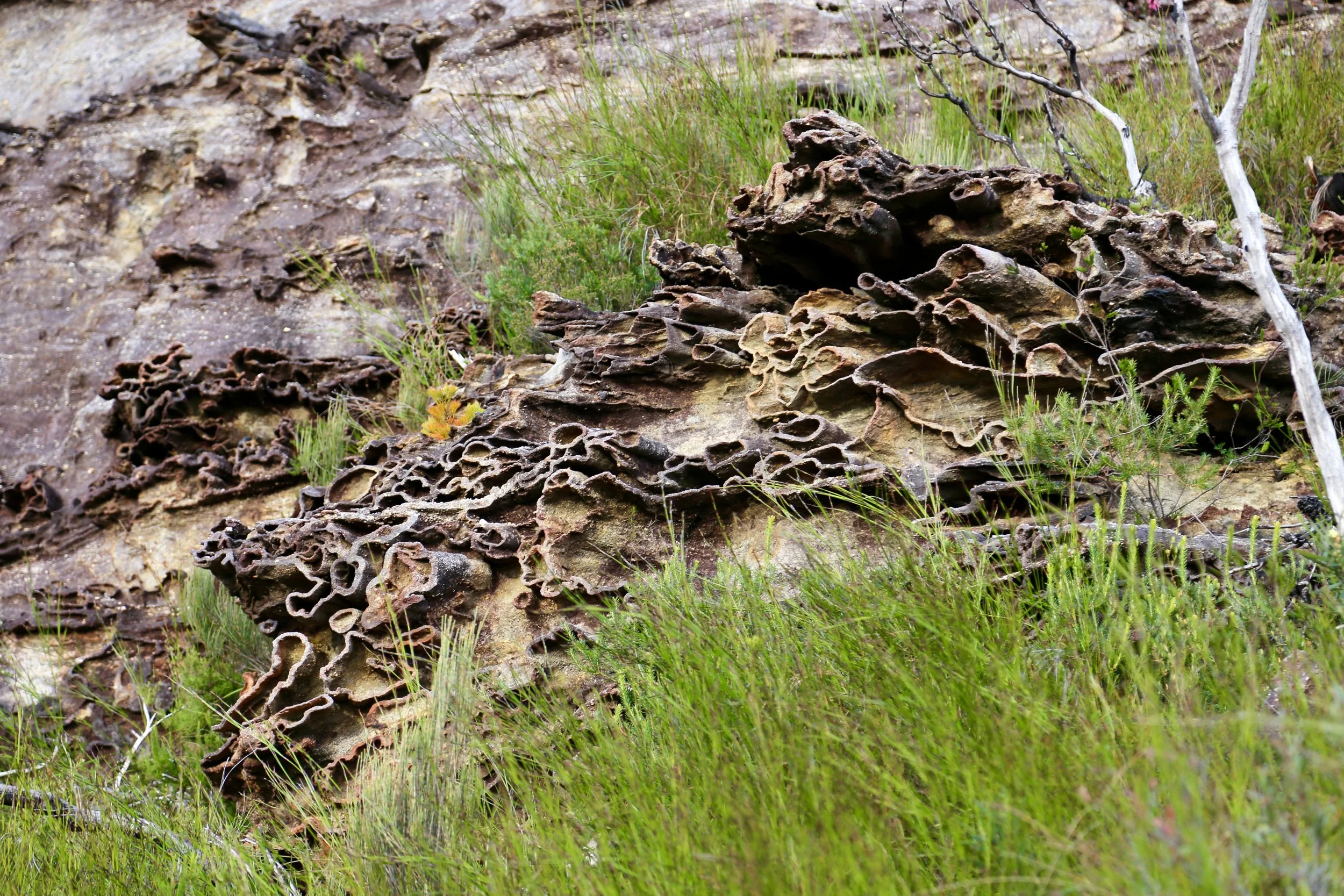
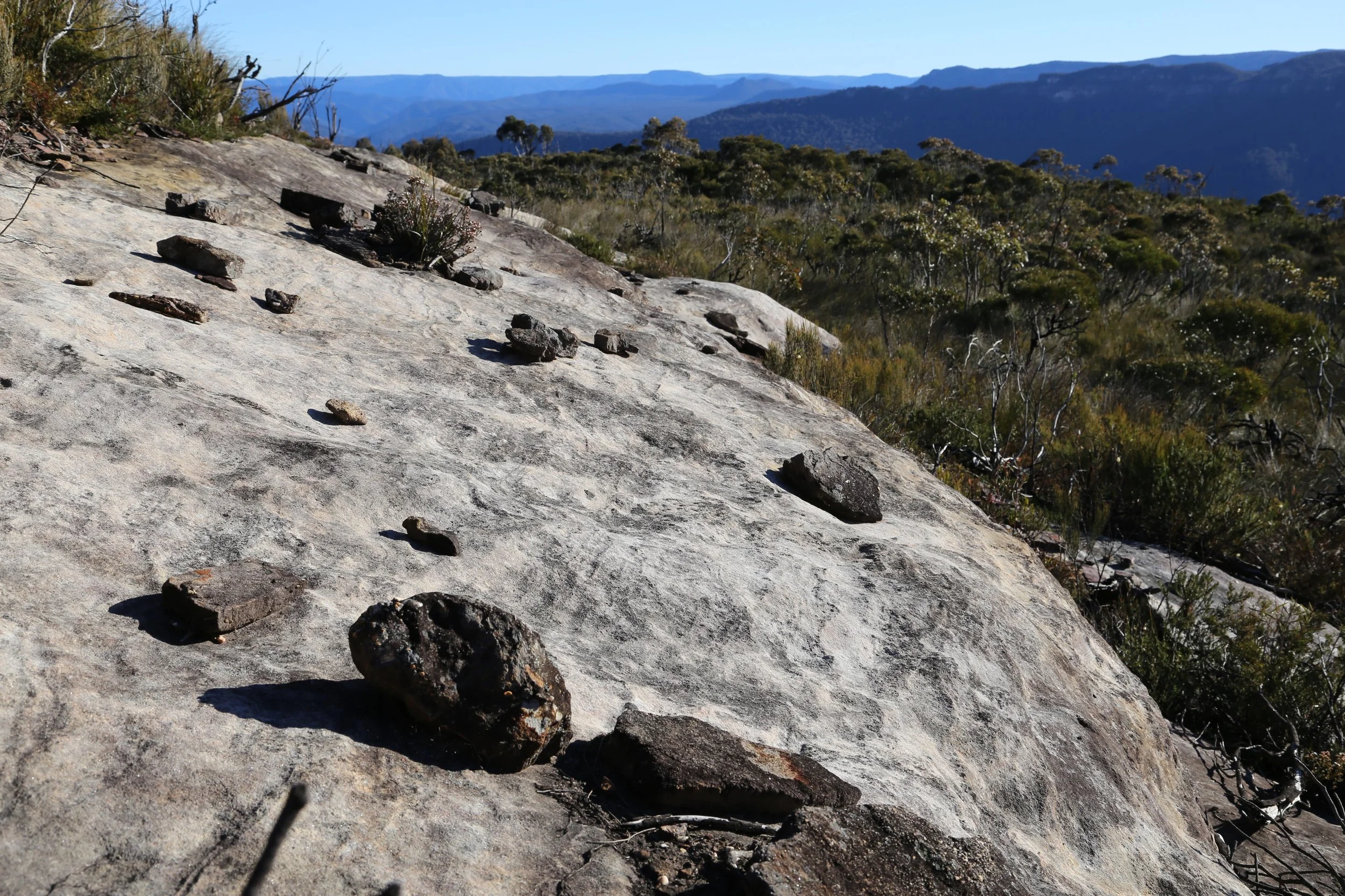
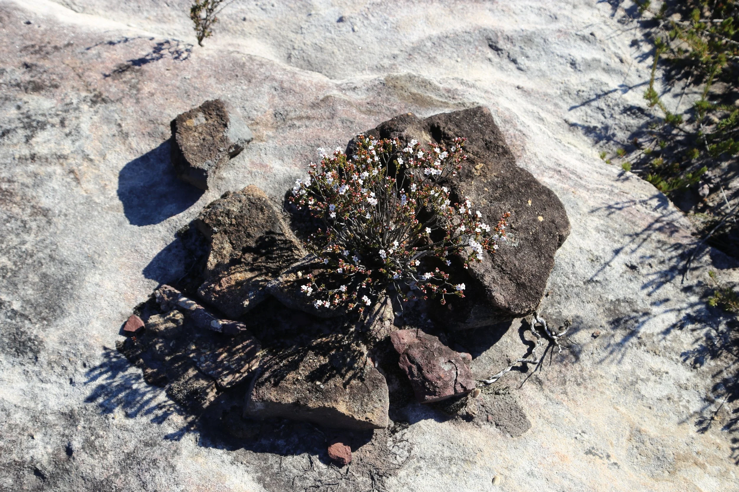
Around it, smaller details begin to compete with the wider view. Ironstone fragments lie scattered across sloping sandstone. Some have collected around cracks and hollows, sheltering tiny gardens from the wind.
In front, the plateau ends abruptly at the main western cliff line. On either side, smaller cliffs enclose a gully that runs down towards the aptly named Waterfall Creek.
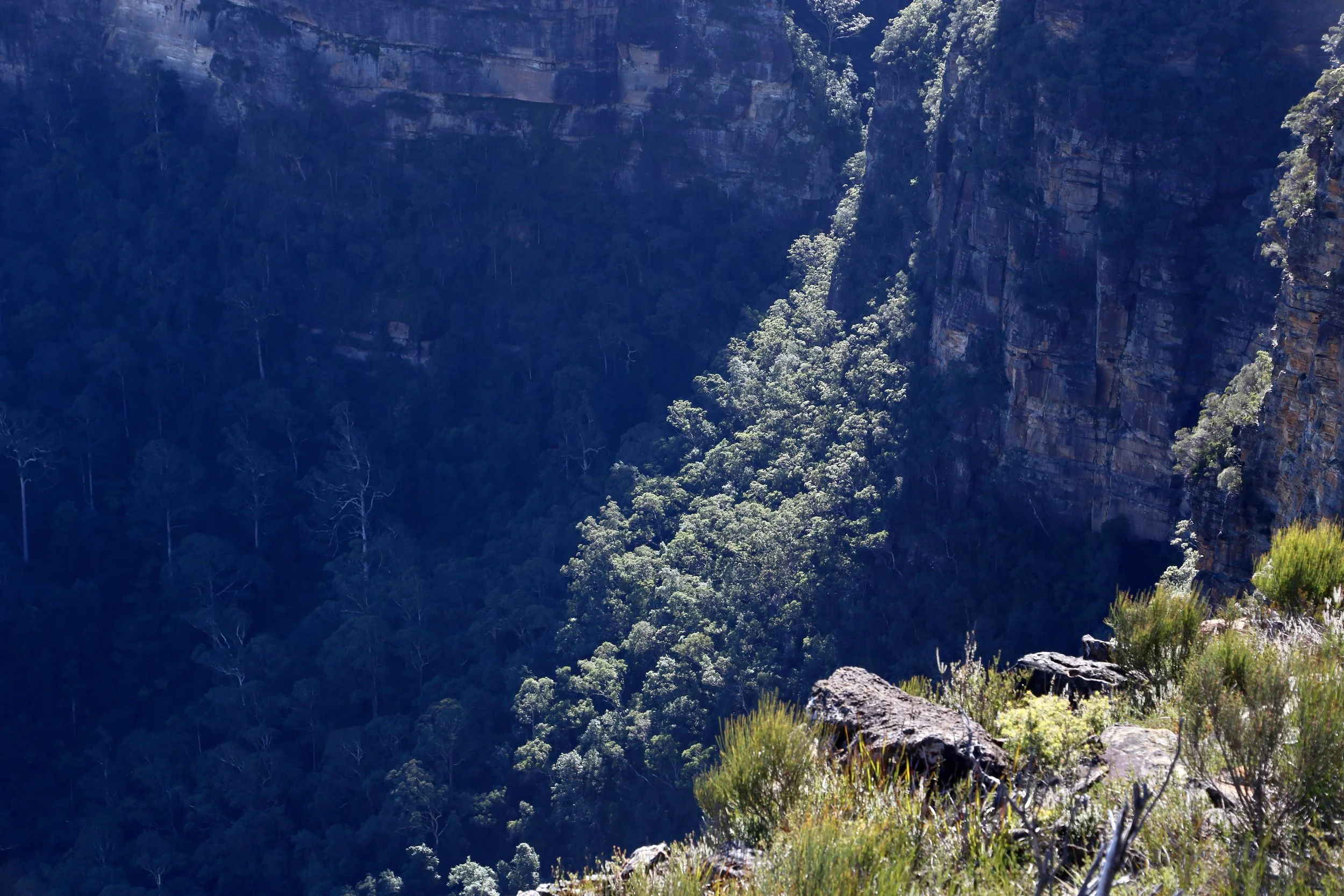
Light breaks through over Waterfall Creek.
The upper rock is only part of the story.
A lower ledge can be seen beneath the main cliff line. LiDAR suggested there might be a way down from the north, although maps are generally more confident about such things than walkers.
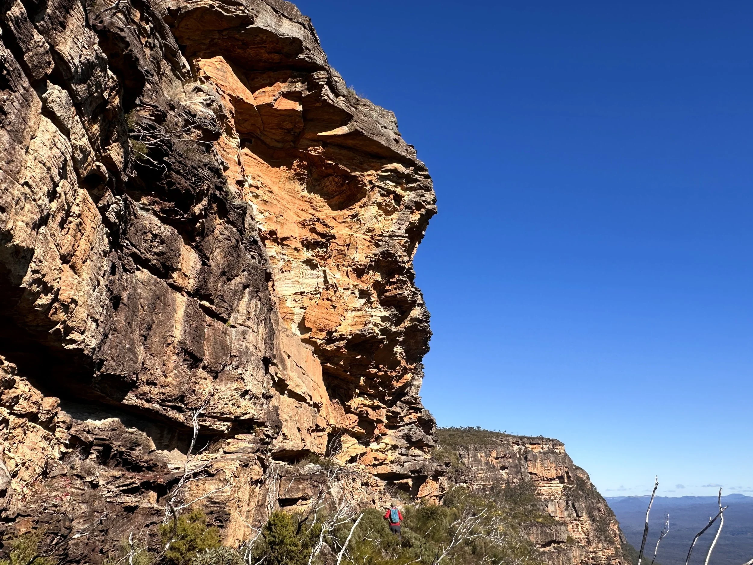
A walker, small against the cliff, looks for a way onto the lower ledge. Photo: Susan Mai
Below, the character of the place changes. The open tableland gives way to narrow ledges, fallen blocks and deep overhangs. In places, the ledges are only a few metres wide before the ground drops again towards the valley.
The sandstone is heavily worked by weather, showing hollows within hollows, thin shelves, sharp edges and elaborate surfaces. One overhang appeared to be decorated with small candle-like forms.
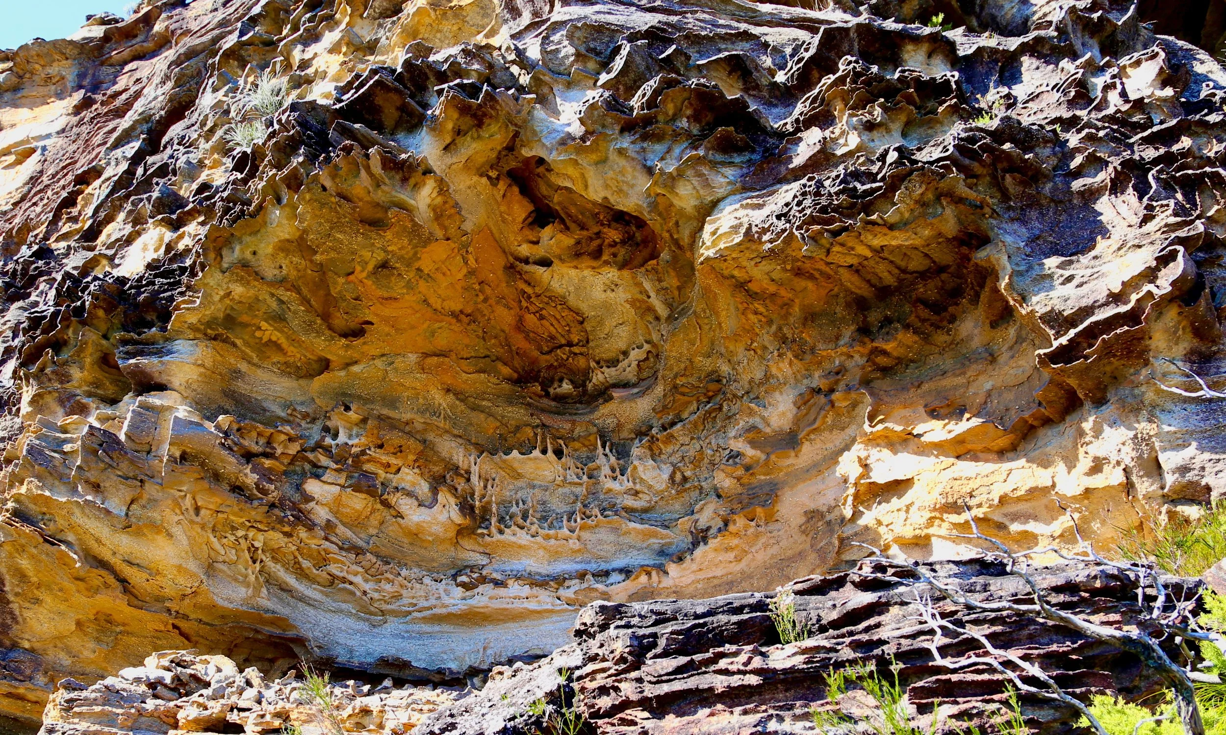
Hollows, shelves and candle-like forms beneath the overhang.
The ledge soon divided. The upper level looked the more promising, so we followed it for some distance beneath the cliff. It narrowed, became increasingly awkward and then ended altogether.
After backtracking, we tried the lower ledge. This continued beneath the overhangs, past piles of broken stone—some recently fallen, others softened by time.
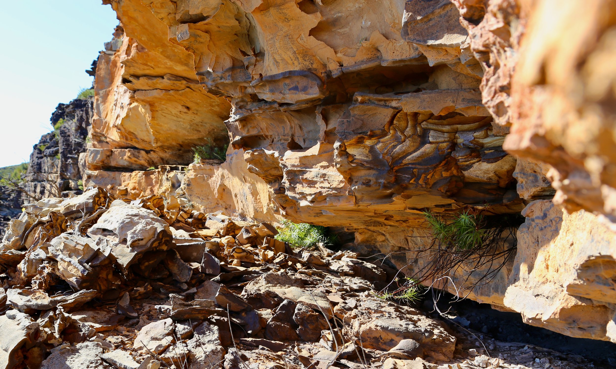
Fallen blocks along the lower ledge.
The LiDAR had suggested that this lower line would also peter out, leaving us to retrace the route. Near its apparent end, however, we found a long, low opening at the very base of the cliff—a horizontal notch running beneath the rock.
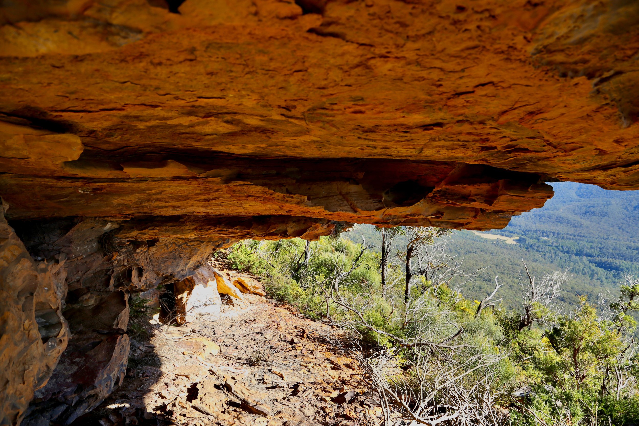
A long, low passage beneath the base of the cliff.
It was not spacious, but it went through.
The under-cliff caves felt enclosed and sheltered, yet opened onto immense views across the Blue Mountains.
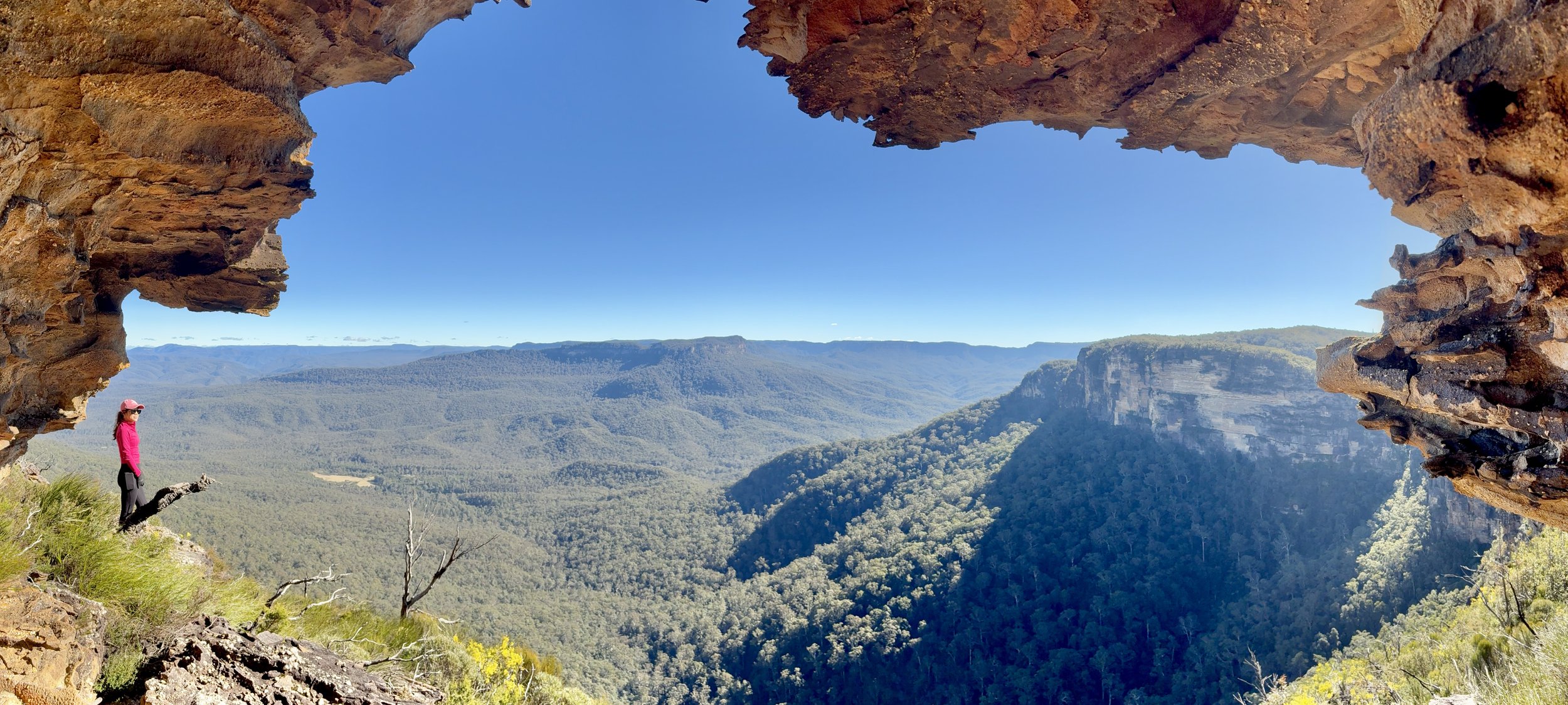
Under the cliff, looking out across the Jamison Valley at Kedumba Pass and Mount Solitary beyond.
Beyond it, the ledge continued and appeared to offer a way back onto the upper cliff line. Instead of returning the way we had come, we now had the makings of a loop. A considerably better outcome.
Happy days.
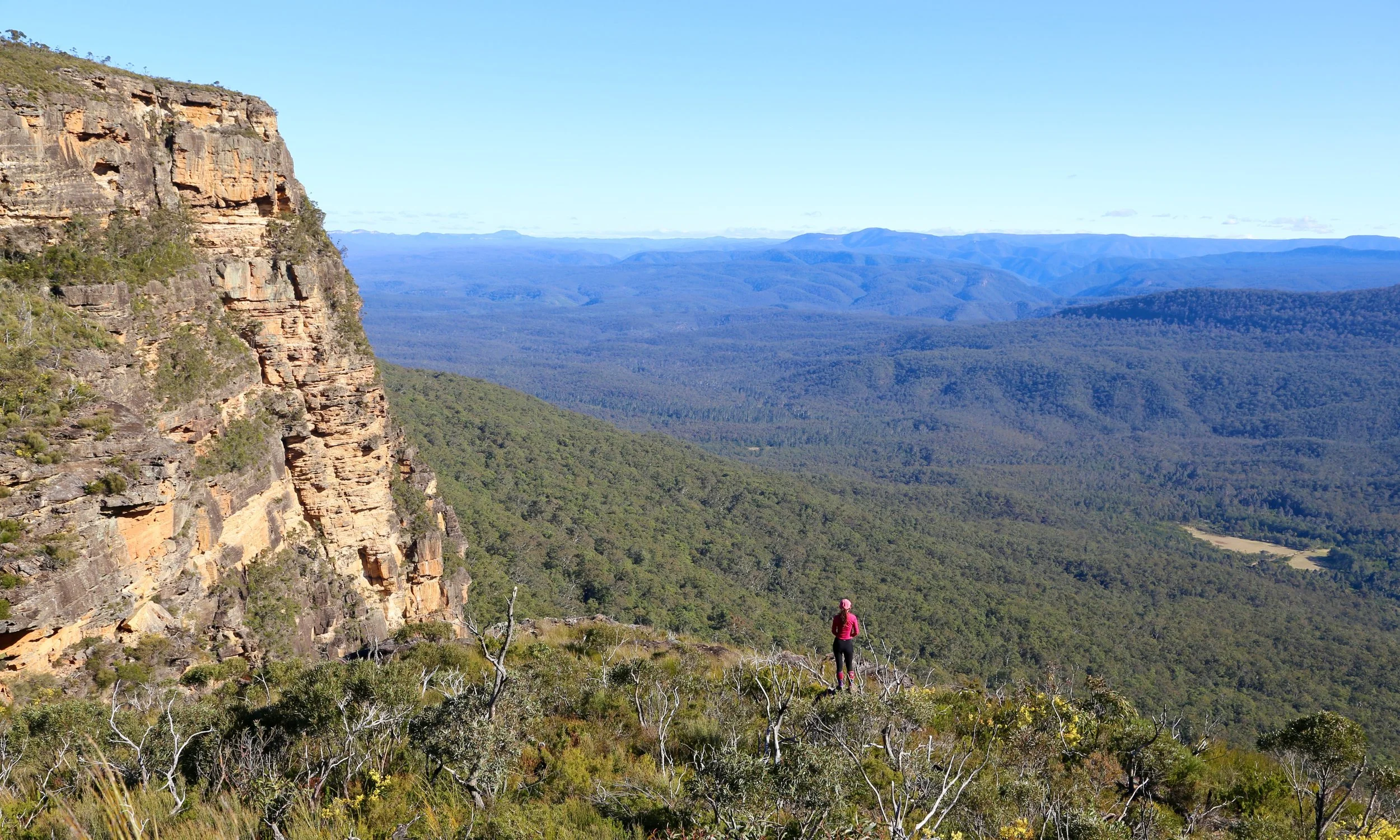
Beyond the ledges, the western cliffs rise above Kedumba Valley with Kanangra-Boyd in the background.
Back above the cliff, the grand scale returned. A nearby wall rises more than 240 metres above the valley floor on the topographic map.
Beyond, ridge after ridge recedes towards Kanangra-Boyd.
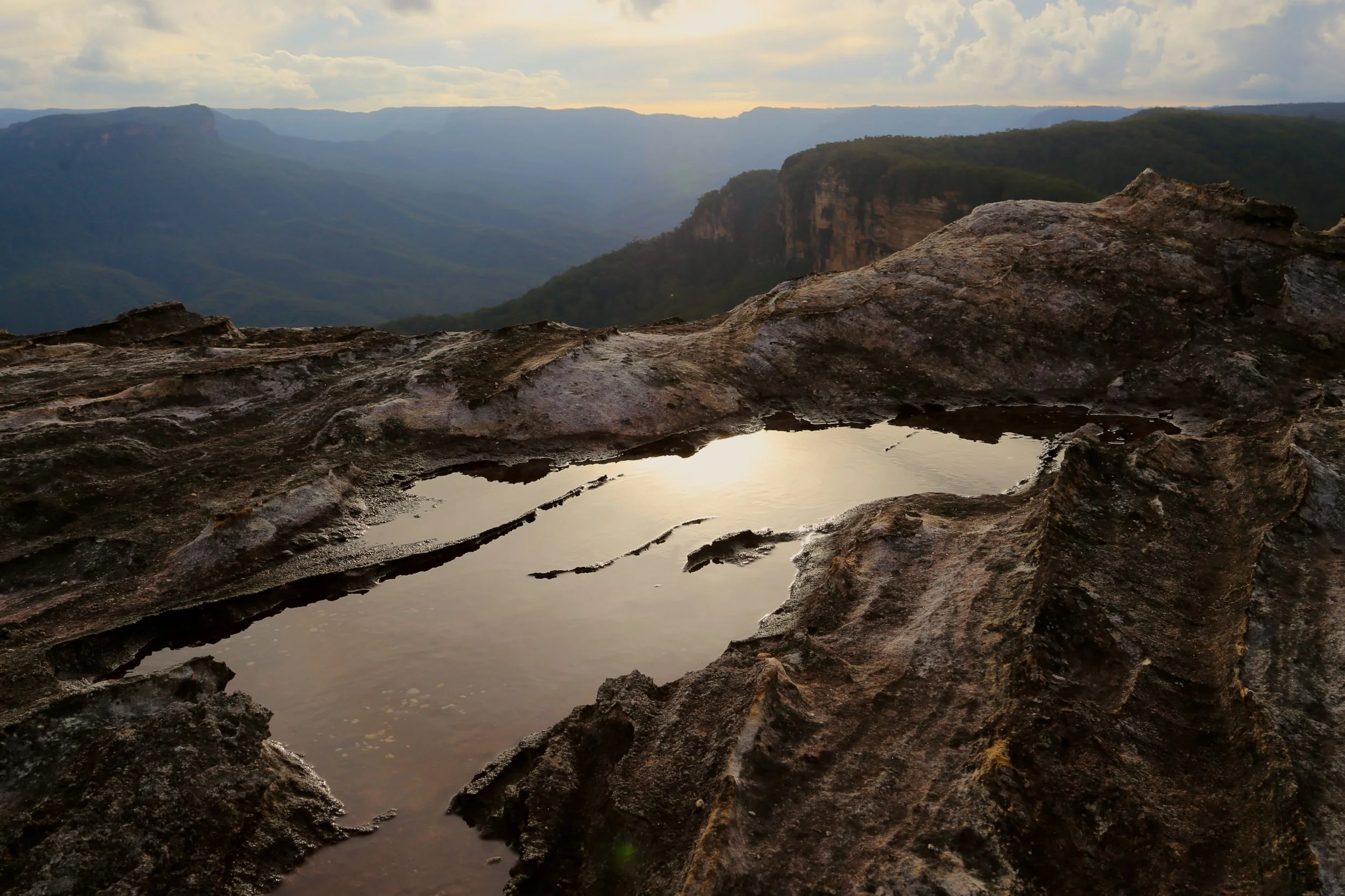
Still water on the tableland, with Kedumba Pass and the Jamison Valley beyond.
Across three visits, the place changed with the light. The cliffs moved from grey to ochre, the valleys filled with blue shadow, and distant escarpments held the last colour after everything below had faded.
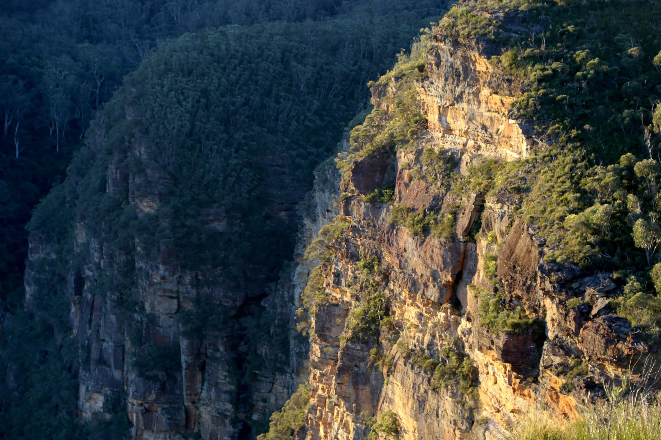
The day’s last light reaching the cliffs across the valley.
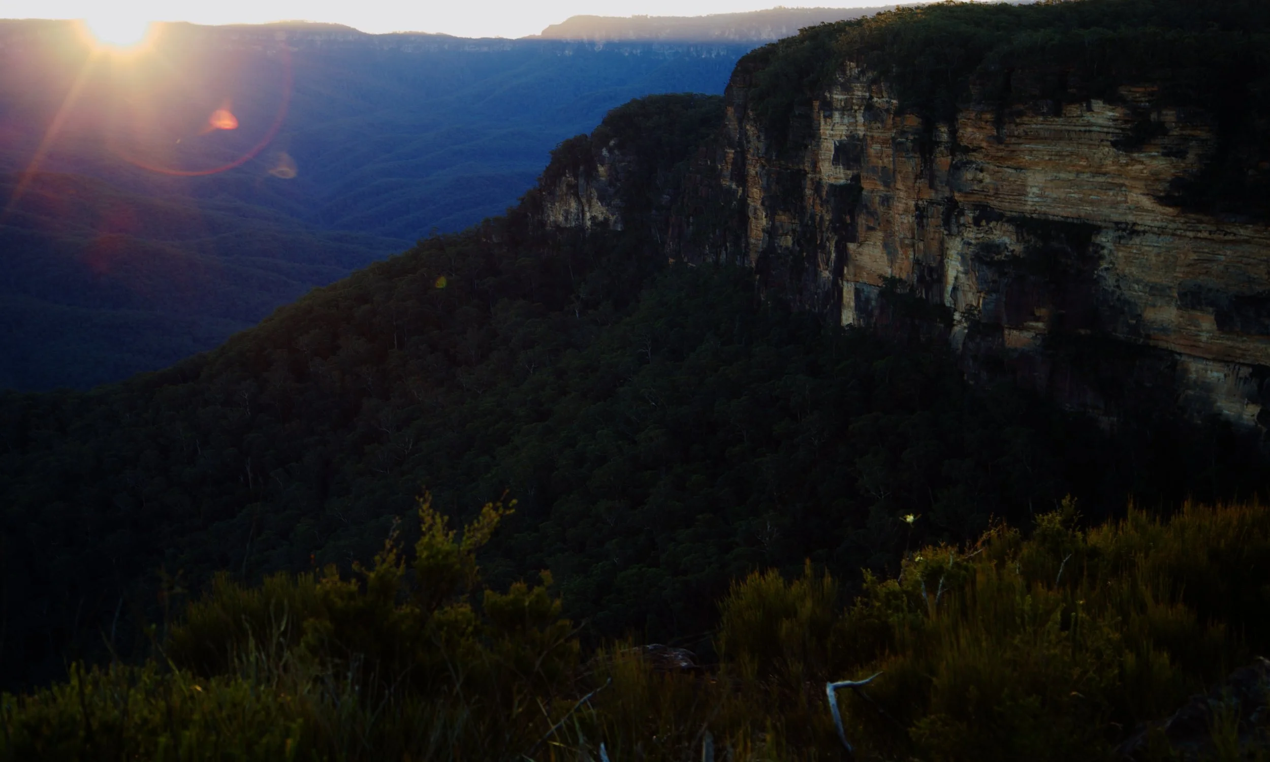
The sun dips behind Narrow Neck.
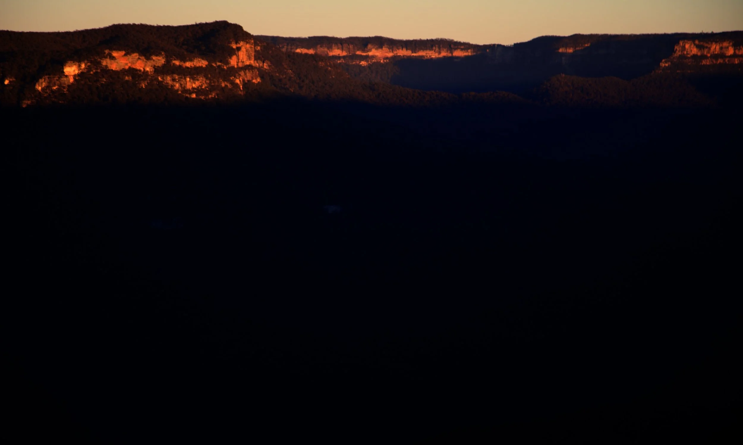
First light across the Jamison Valley — Mount Solitary (left), and Ruined Castle (right) and Narrow Neck (behind)
The first time, we walked past Chelonian Rock on the way to somewhere else.
It took another two visits to find out where it led.