Spreading angophoras, sculpted sandstone, grass trees and the broad waters of Broken Bay. A pocket-sized walk near West Head holds a generous collection of Ku-ring-gai classics.
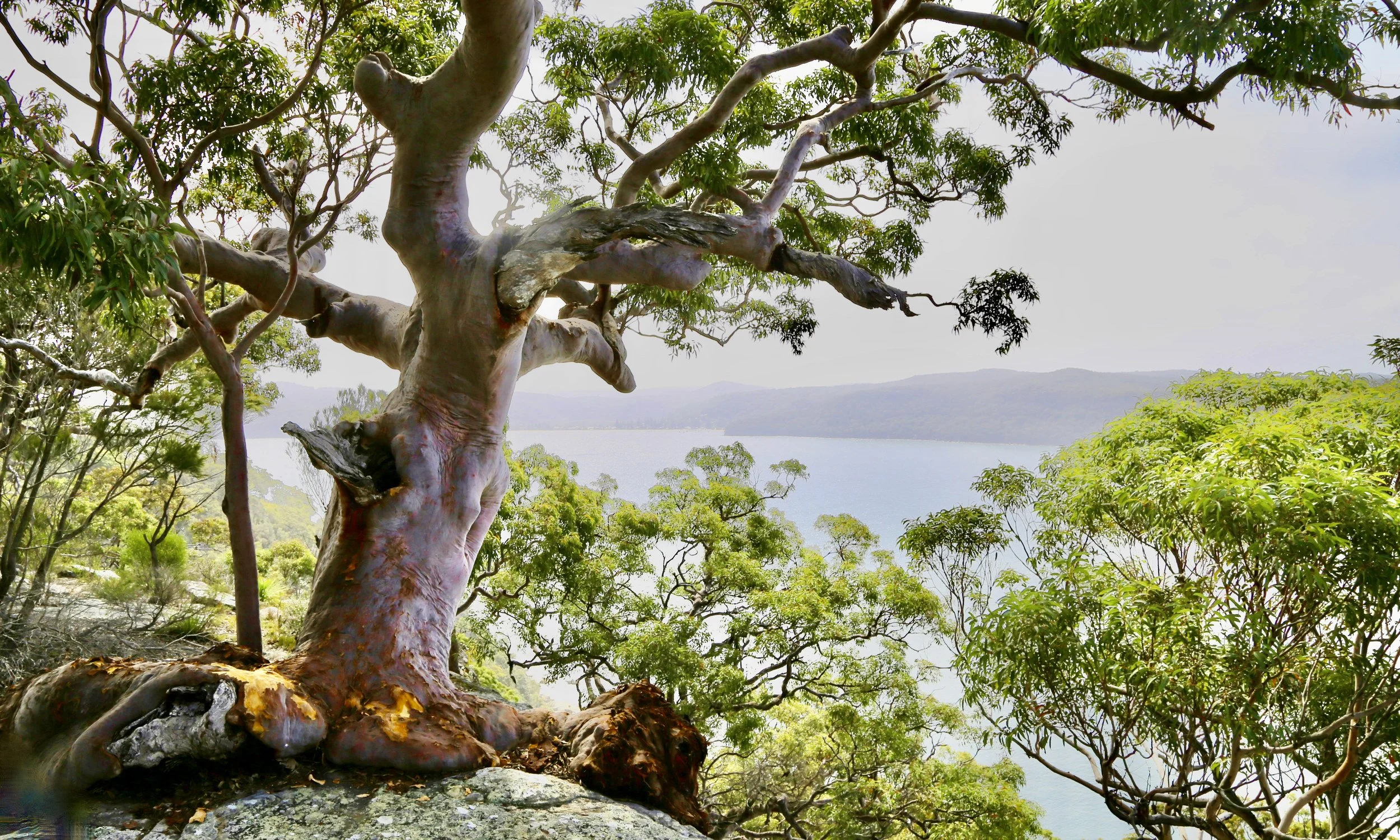
Angophora, sandstone and water—the familiar ingredients of this small corner of Ku-ring-gai.
-
Dates walked: October 2019; May 2025; October 2026
Distance: 0.9 km
Elevation gain: 60 m
Time: Around 1 hour, including stops for photography and views
Grade: 3 — a short, formed bush track with steps, uneven sandstone surfaces and a modest climb on the return. This grade applies to the main track.
Location: Commodore Heights, Lambert Peninsula, Ku-ring-gai Chase National Park, NSW
Access: From West Head Road, opposite Resolute picnic area, where parking is available.
Map: NSW Topographic 1:25,000: Broken Bay
Route notes: The main walk follows a formed track. Exploring the sandstone shelves and overhangs shown in this article involved leaving the track.
Notable features: Sculptural angophoras, sandstone shelves and overhangs, grass trees, Dorrie Davis’s memorial seat, and views across Broken Bay to Lion Island.
Photography: Sandstone Symphony
Related walks/articles: Water and Stone — America Bay to Topham
Koolewong gathers a great deal into a small space. Allow around an hour to follow the track out and back, stop among the trees and spend a while looking across Broken Bay.
For me, it is a particularly special corner of Ku-ring-gai Chase. I have visited a handful of times, drawn back by angophoras of extraordinary character, sandstone shelves and overhangs, grass trees, and a great expanse of blue water below.
All the Ku-ring-gai classics, within a short walk of the road.
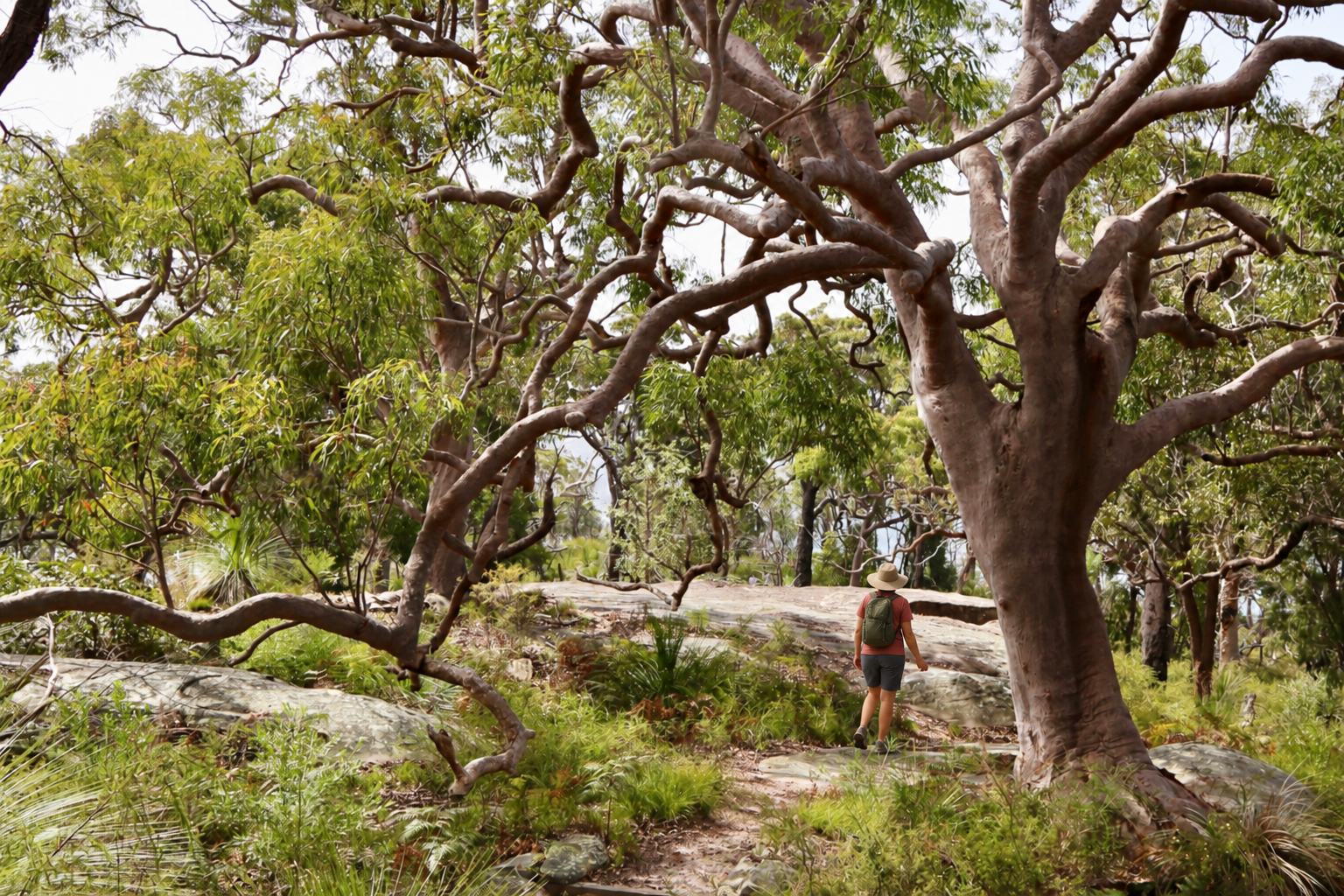
Beneath the spreading limbs, the track continues through sandstone woodland.
The track begins opposite Resolute picnic area, near the end of West Head Road. Woodland encloses the approach. There is plenty to occupy the eye before the water comes into view.
Even within this short distance, the woodland changes. Near the road, richer soils associated with a volcanic intrusion support tall, closely spaced trees. Towards the lookout, the woodland opens out, with broad-limbed angophoras growing among sandstone outcrops.
Grey ironbarks, forest she-oaks, red bloodwoods and turpentines add different textures to the walk. Among them is a smaller botanical detail: the grey ironbark can host the ironbark orchid, Dendrobium aemulum, which grows on its persistent bark and flowers in spring.
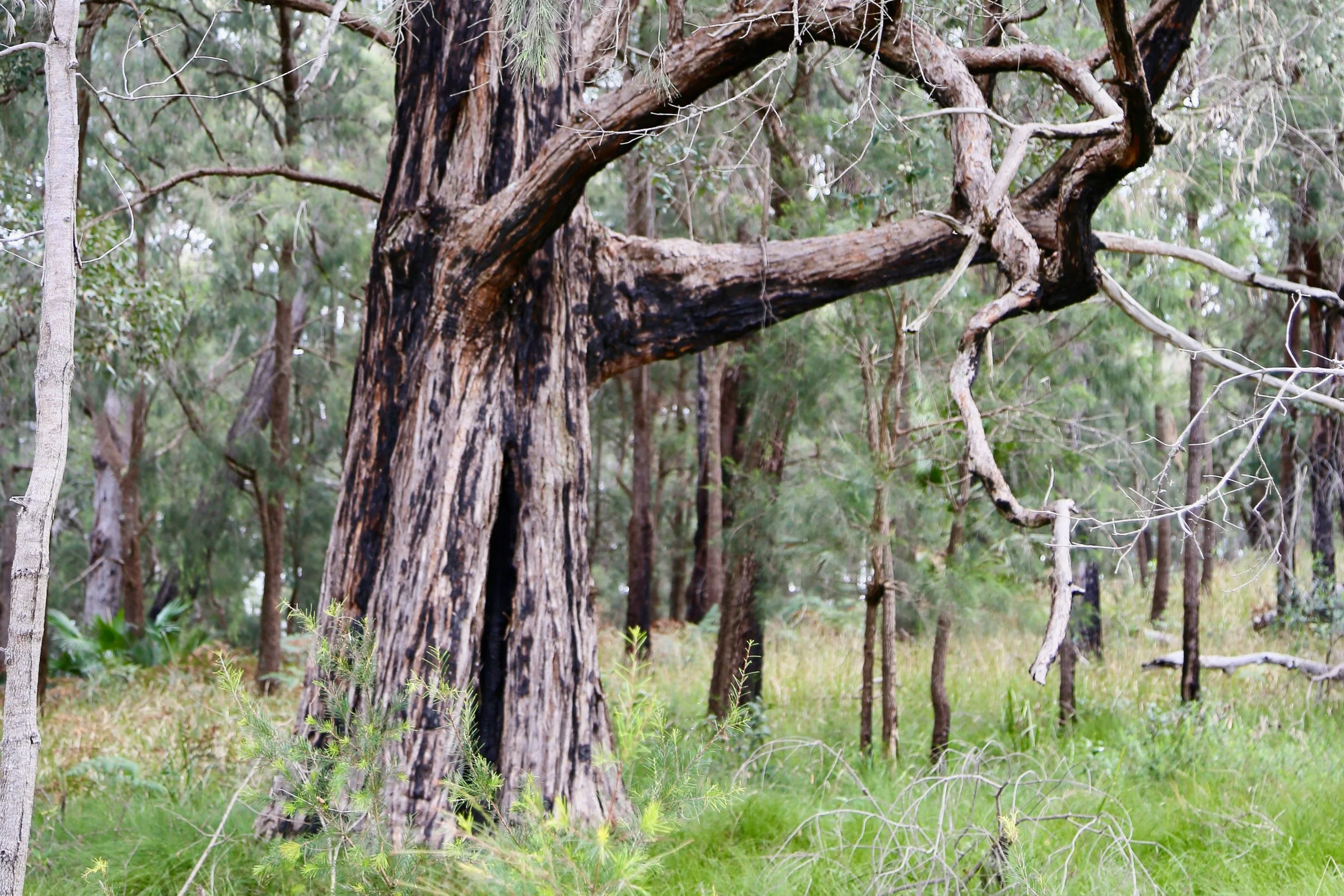
A different woodland texture: rough bark, fine foliage and a soft green floor.
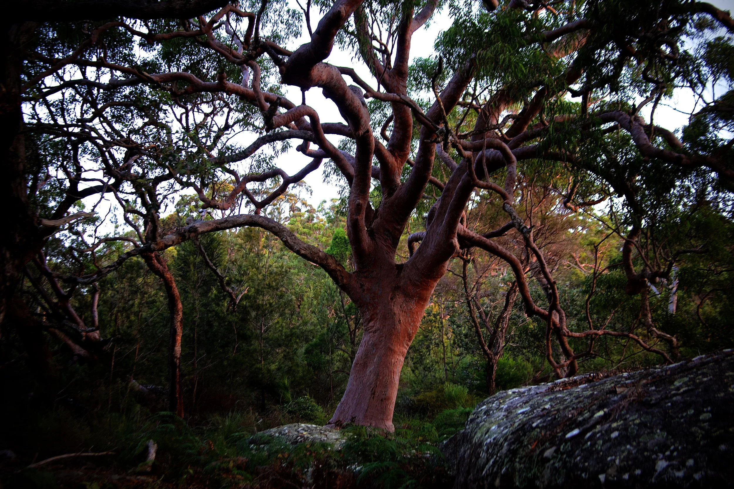
The angophoras are the great personalities of the walk. Angophora costata, known as Sydney red gum or smooth-barked apple, thrives on sandy soils and stony ridges and is particularly associated with Hawkesbury Sandstone. Its smooth bark sheds to reveal fresh salmon-pink surfaces, which fade towards pale grey as they weather. Across a single tree, the colours can range through cream, pink, orange and rust.
Trunks lean and divide, their limbs extending sideways before turning again. Old branch wounds can develop into rounded, callused bumps, contributing to the gnarled appearance of mature trees.
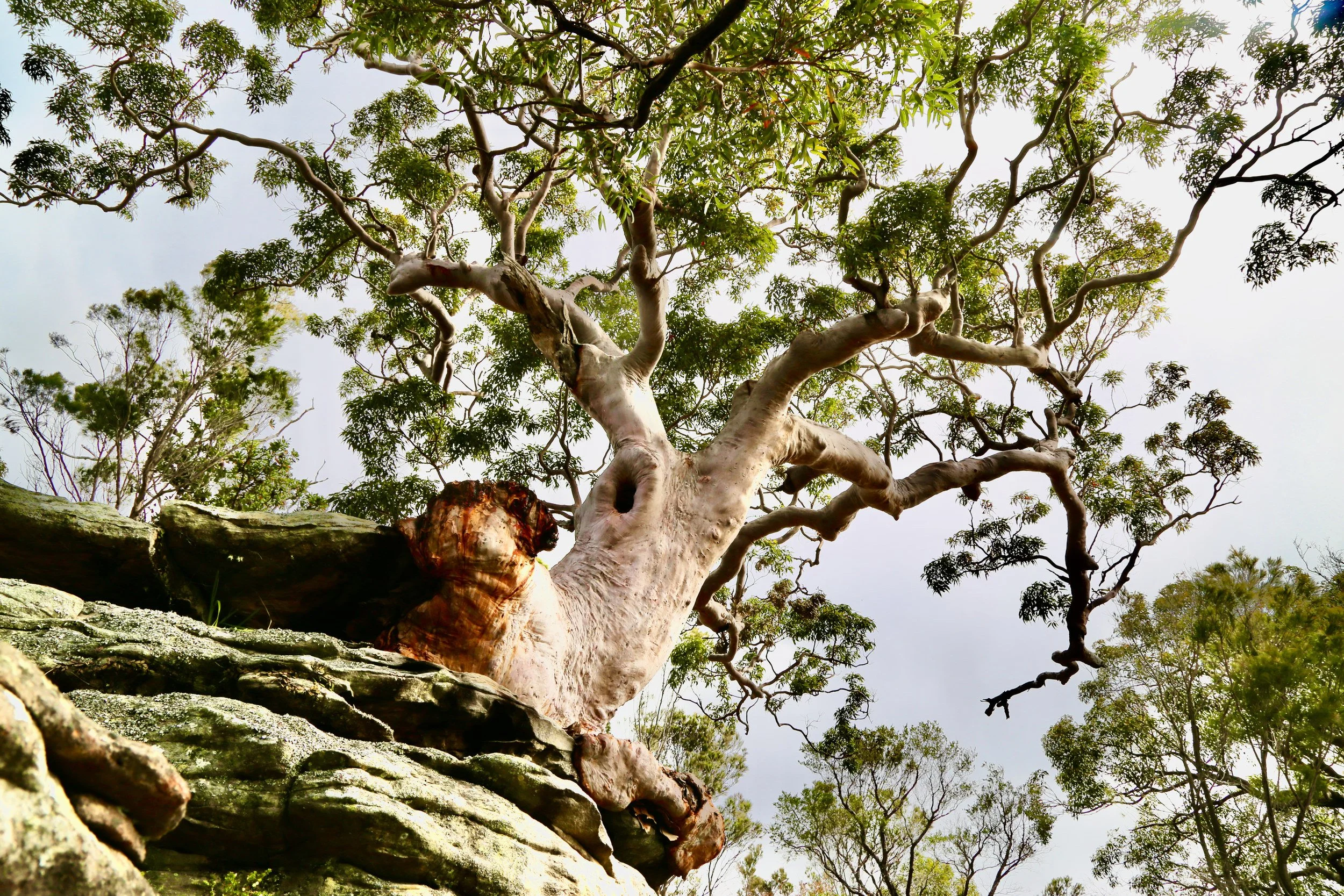
One tree near the water spreads its substantial base across a sandstone ledge. The bark follows the rock beneath it in folds and bulges, as though the tree has slowly settled into place. Seen close up, this meeting of wood and stone becomes a landscape of its own. It appears comfortable.
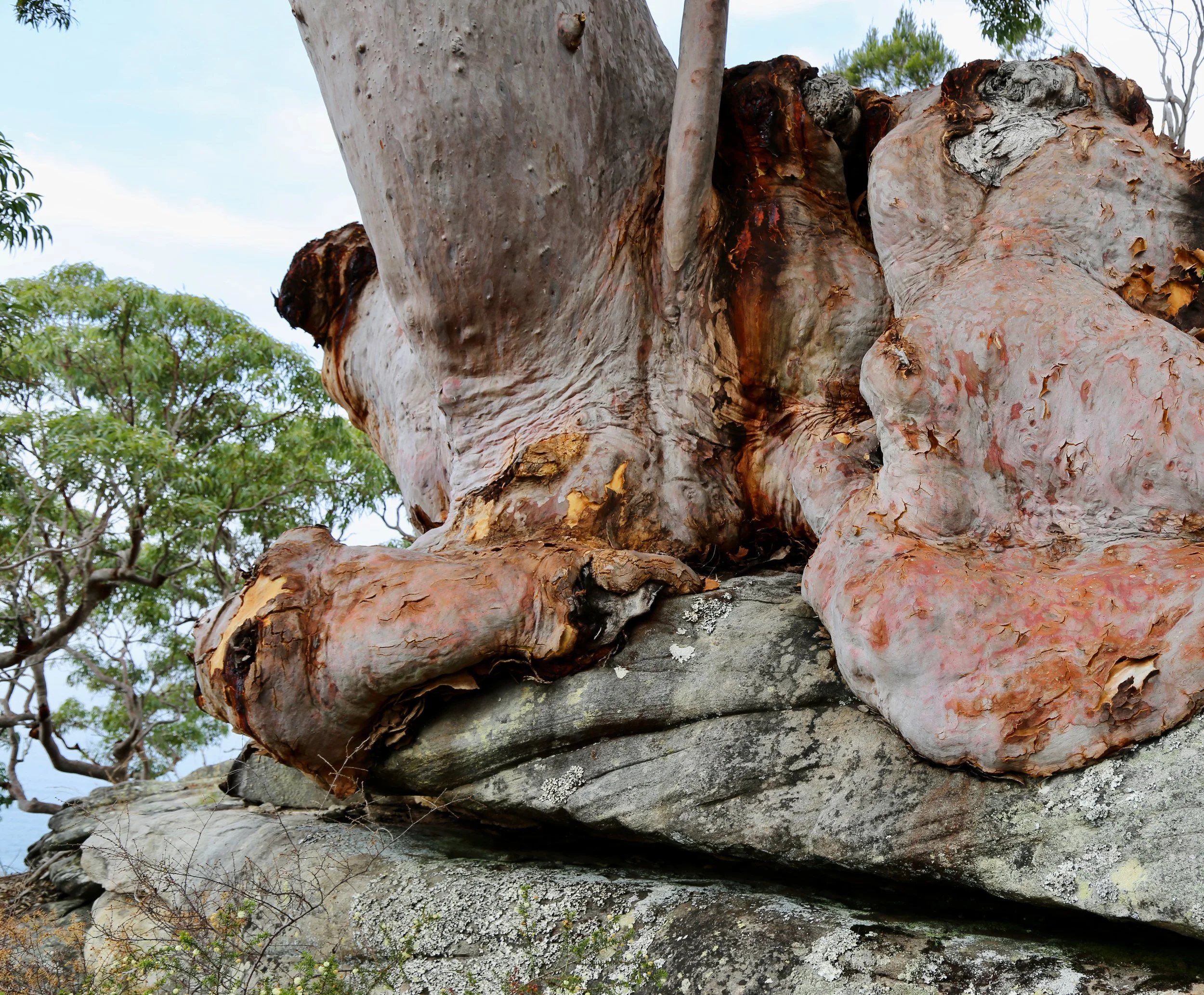
The tree’s swollen base follows the contours of the stone.
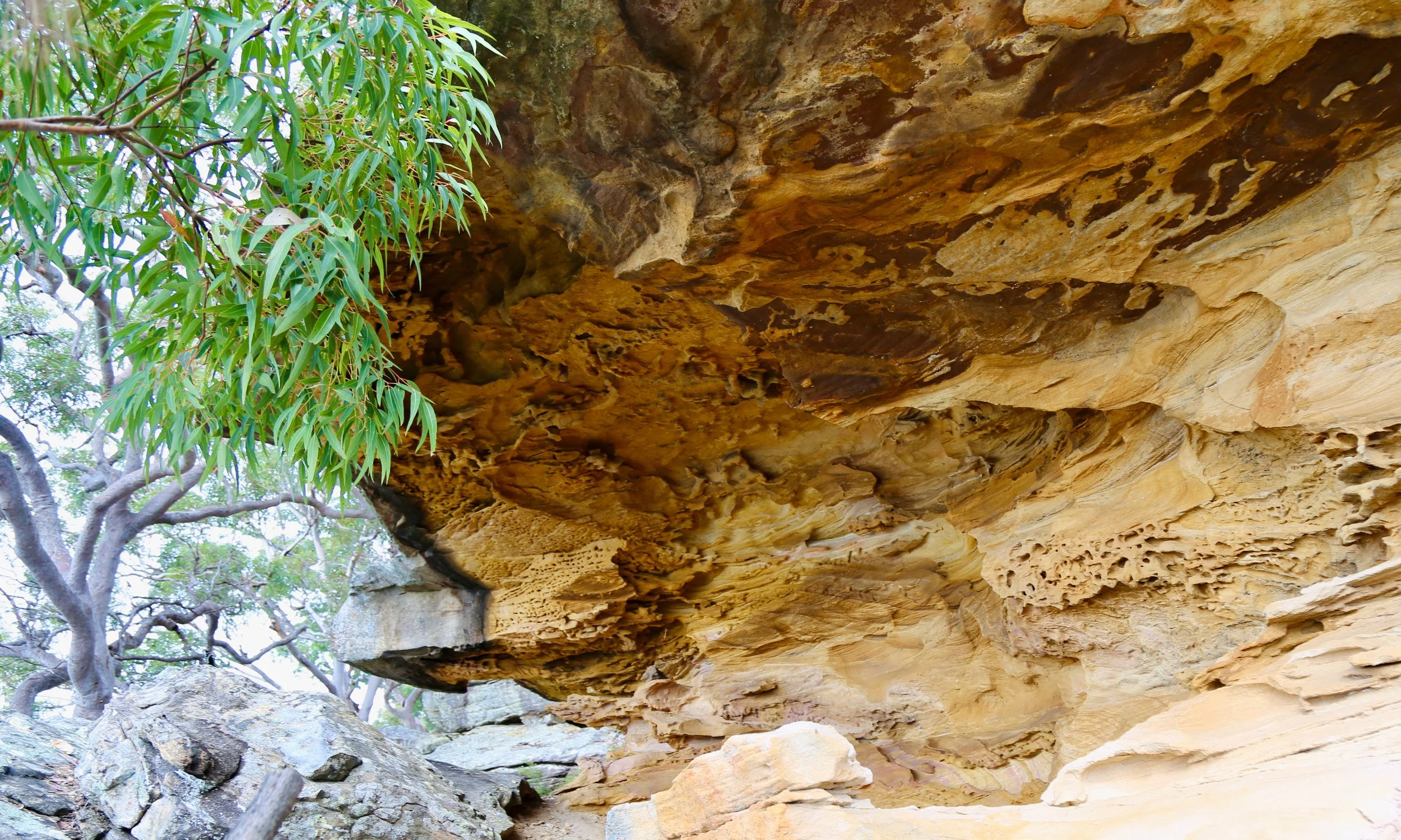
The sandstone provides the foundation and much of the character of the walk. Hawkesbury Sandstone formed more than 240 million years ago, from sand deposited by a vast braided river system. Australia was then part of Gondwana, and the sediments accumulated through shifting channels and sandbanks. Their layers became the rock that now shapes so much of Sydney’s northern bushland.
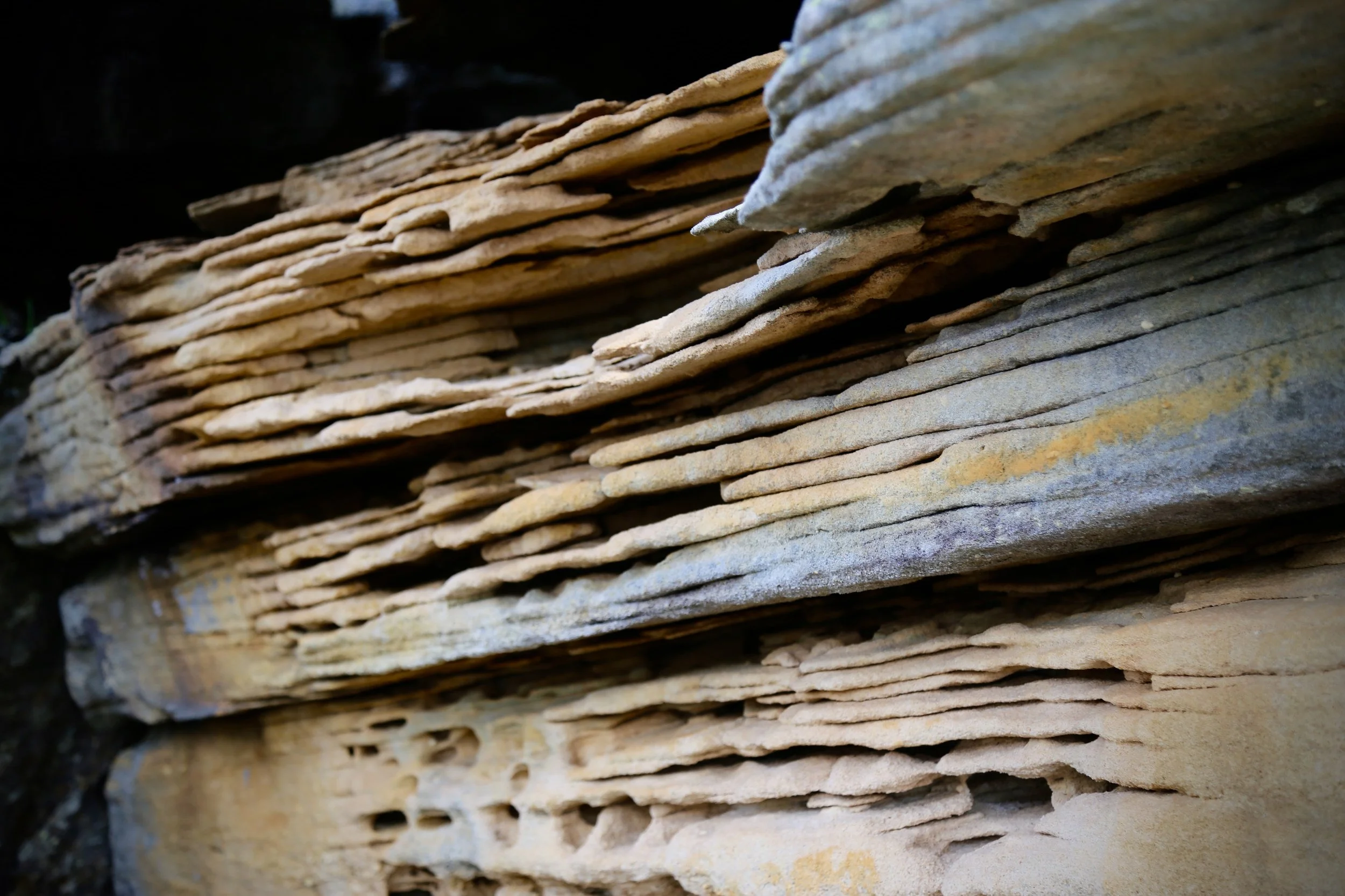
Thin layers stand out along a weathered sandstone face.
Since then, water has continued to work through and over it. Minerals binding the sand grains have dissolved or moved, harder outer surfaces have developed, and softer material has weathered away beneath them. Across the region, these processes have helped produce undercut walls, shallow caves and patterned overhangs. Iron compounds contribute bands and warm colours within the stone.
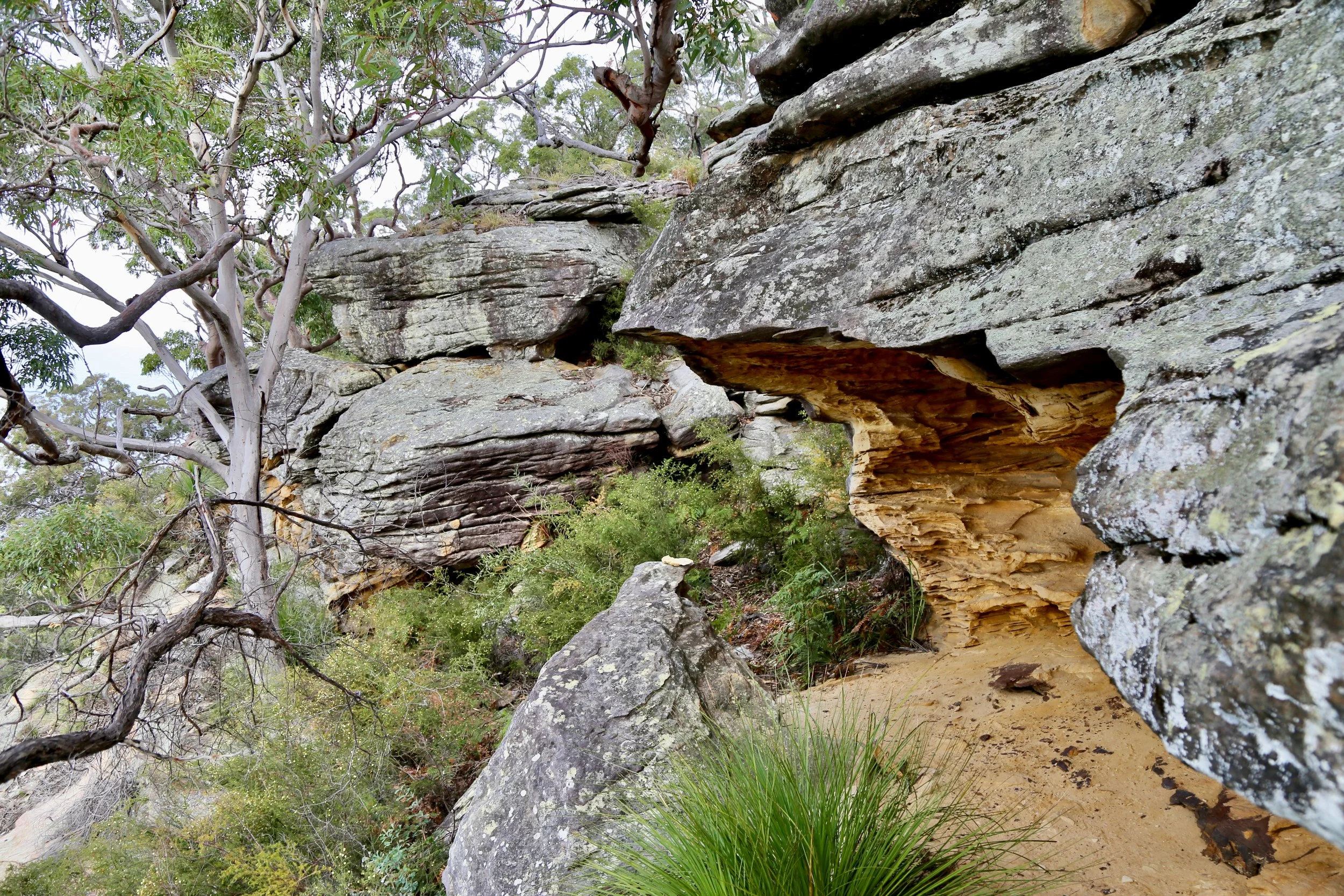
Here, the rock offers a succession of smaller studies: thin ledges, ochre ceilings, grey faces marked by lichen. Under the overhangs, the colours deepen and the surfaces become intricately textured.
Grass trees (Xanthorrhoea) add another form among the trunks and boulders, their fine leaves catching the light. Together, the vegetation and exposed rock make a foreground worth lingering over, even with the bay waiting beyond.
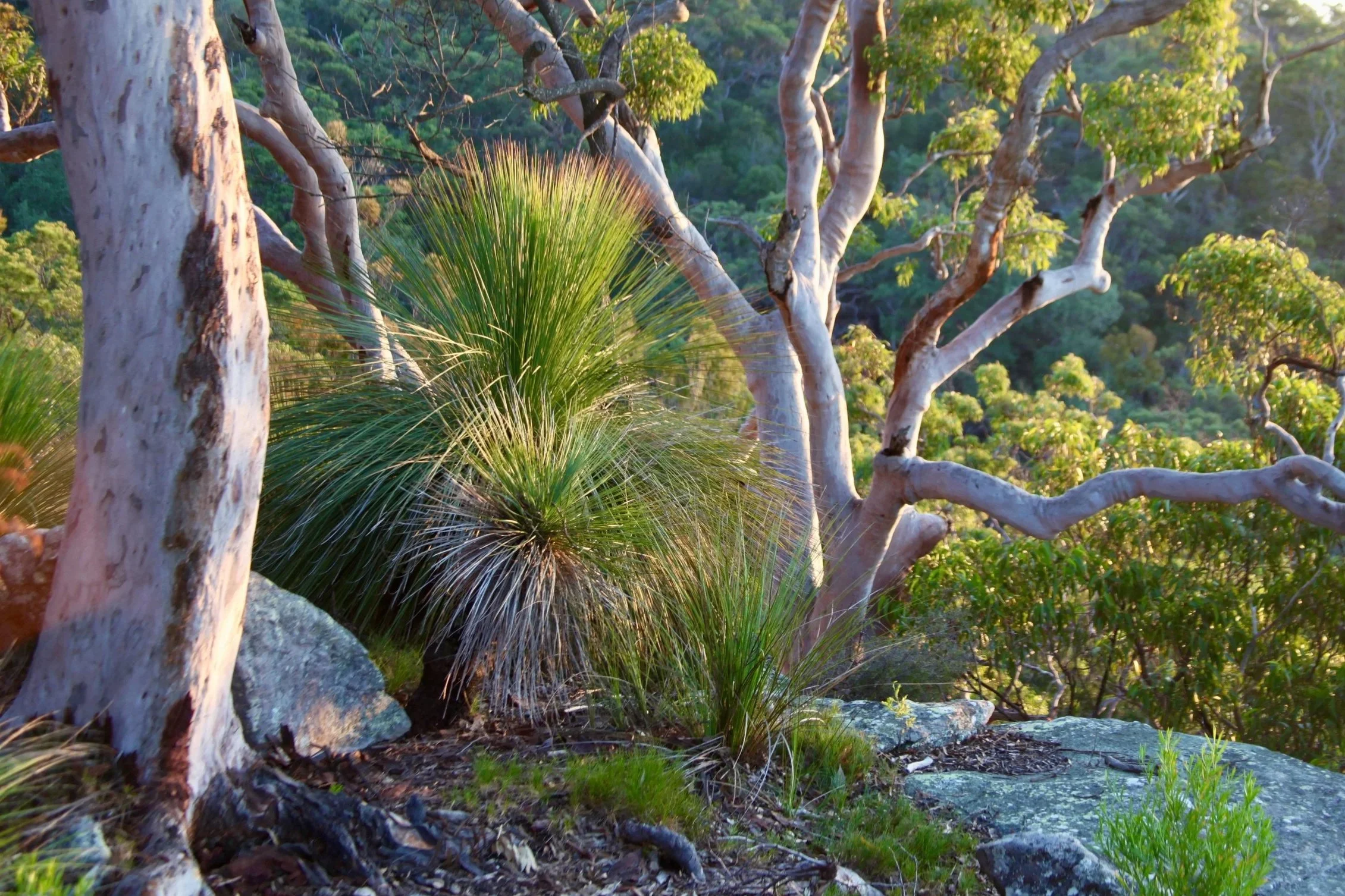
Grass trees (Xanthorrhoea) catch the light between pale trunks.
This northern end of Lambert Peninsula is known as Commodore Heights. Both names honour Commodore Rowley Lambert, who commanded the Royal Navy’s Australia Station from 1867 to 1870. They appeared on an Admiralty map in 1868.
Its survival as bushland was far from assured. The land had been granted to William Lawson in 1834 and remained outside Ku-ring-gai Chase when the park was established in 1894. Later owners pursued schemes for waterfront development. In 1931, a proposed country club estate included residential lots, a golf course and a casino, but the Depression-era venture failed to attract sufficient investors.
The government resumed Commodore Heights in 1939. During the Second World War, West Head became a defensive position, with gun emplacements, searchlights and an anti-submarine boom net across the entrance to Pittwater, between West Head and Barrenjoey. Most of Commodore Heights was incorporated into Ku-ring-gai Chase after the war, with the remaining portion added in 1964.
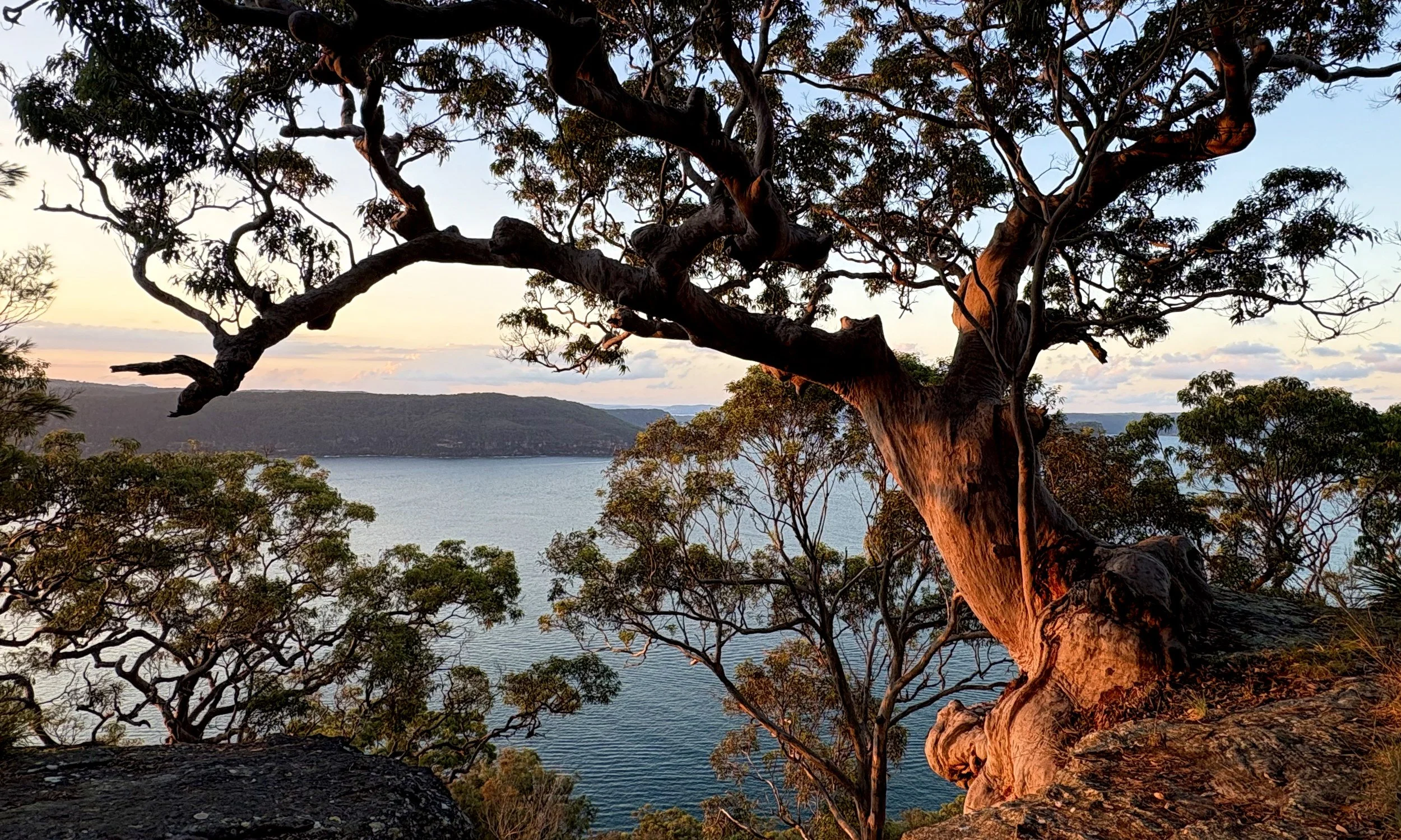
Evening light on an angophora above Broken Bay.
The lookout also carries a more personal history. A sandstone seat overlooking Broken Bay commemorates local environmentalist Dorrie Davis, whose $850,000 bequest funded the lookout opened in September 2006.
From the lookout, Lion Island rises prominently from the water, its long back ending in a steep bluff facing the ocean. Around it lies Broken Bay, where the Hawkesbury River meets the sea.
These waterways occupy a drowned river valley landscape, known as a ria. When sea levels were lower, rivers and their tributaries cut valleys through the sandstone. Rising seas after the last Ice Age flooded their lower reaches. The branching waterways preserve the pattern of that earlier drainage system, with former ridges becoming peninsulas and isolated high points remaining as islands.
The Hawkesbury, Pittwater and Brisbane Water meet at Broken Bay. Around them, wooded slopes descend into the estuary, their lower contours continuing beneath the surface. Lion Island is one surviving high point of that older landscape. Looking across the bay, it is possible to imagine the water withdrawn and the valleys opening below.
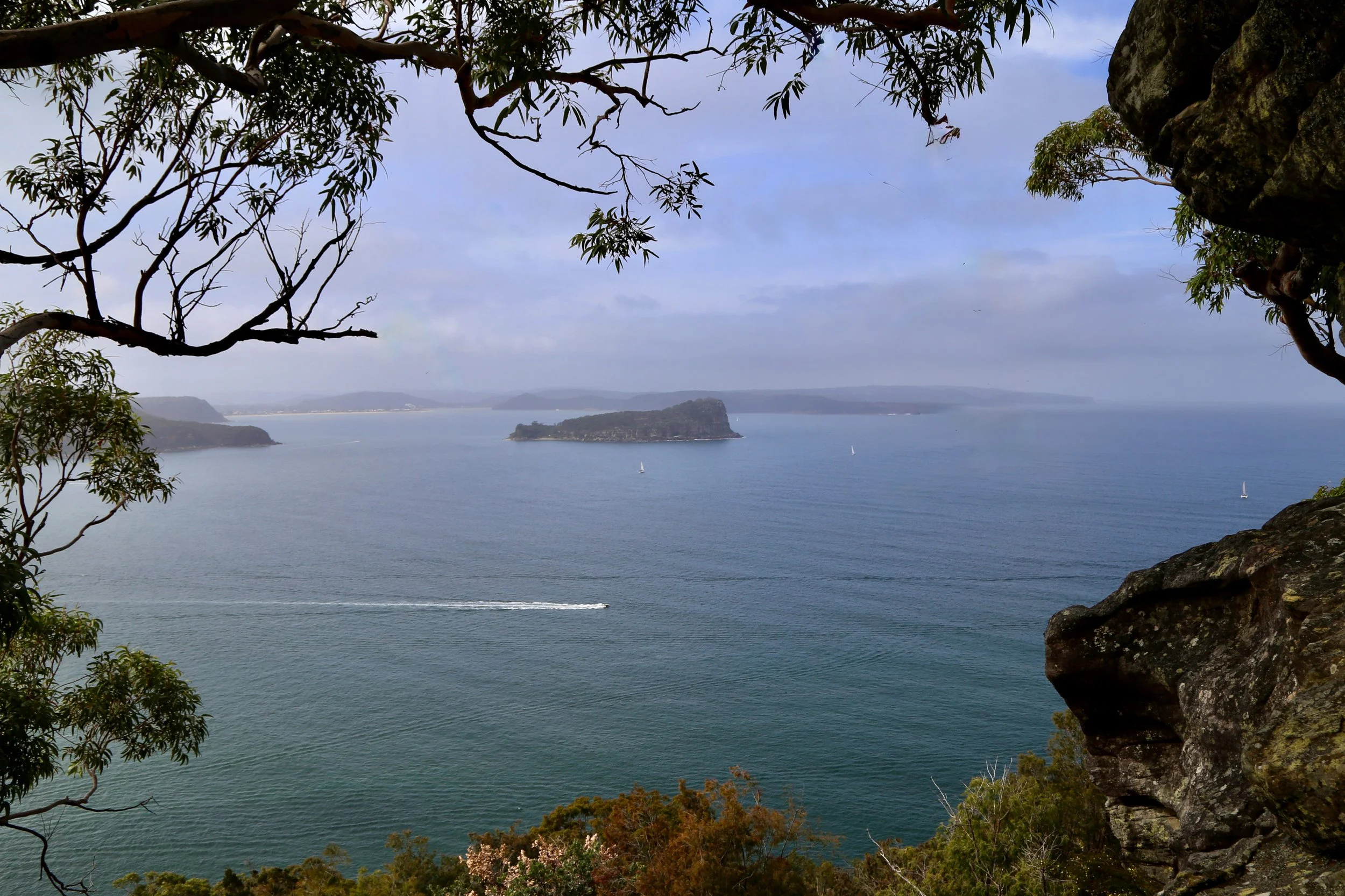
Lion Island beyond the sandstone edge—a high point left above the drowned valleys.
Today, Lion Island is a nature reserve supporting a breeding colony of little penguins. From Koolewong, that life remains hidden by distance. Boats and their wakes are easier to follow, crossing between the wooded shores.
In the evening, the foreground takes on a different presence. Low light warms the angophoras, picks out grass-tree leaves and leaves the water in softer colour.
An hour at Koolewong sits comfortably alongside a visit to nearby West Head lookout. For me, there are also reasons to stay longer, looking beneath the sandstone ledges and more closely at the trees: a layered overhang, a trunk gripping the stone, and the reach of water beyond.
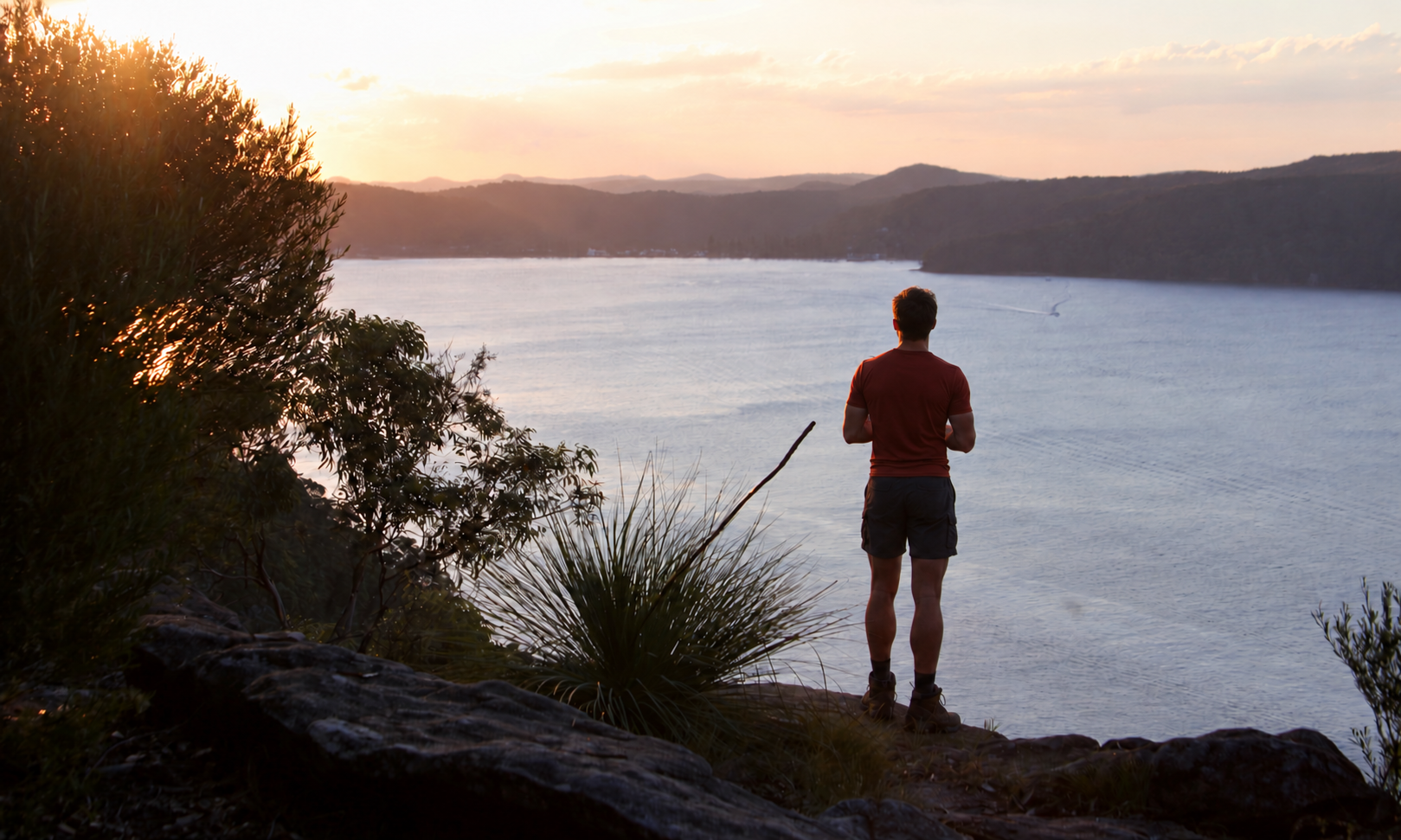
The last light across Broken Bay.
References and further reading
Pittwater Natural Heritage Association — Pittwater Nature, Issue 3, December 2020, pp. 1–3. “Trees of the Koolewong Track, West Head”: woodland, soils, tree species, orchids and Dorrie Davis’s bequest.
Australian National Botanic Gardens — Angophora costata. Bark, growth habit, habitat and botanical name.
Ku-ring-gai GeoRegion — West Head. Lambert Peninsula’s geology, sandstone formation and drowned valley landscape.
Tony Dawson, Dictionary of Sydney — Commodore Heights (2011). Land grants, proposed developments, wartime defences and incorporation into the park.
Australian Government — Ku-ring-gai Chase National Park and adjoining island nature reserves. National Heritage information on the drowned landscape and Lion Island’s little penguins.
NSW Environment and Heritage — Broken Bay. The meeting of the Hawkesbury River, Pittwater and Brisbane Water.