Jamison Pass: Beneath the Familiar Skyline
After years of crossing the top of Jamison Pass, a different route leads beneath the familiar skyline, along the base of the cliffs and into the narrow cleft that might let us back up.
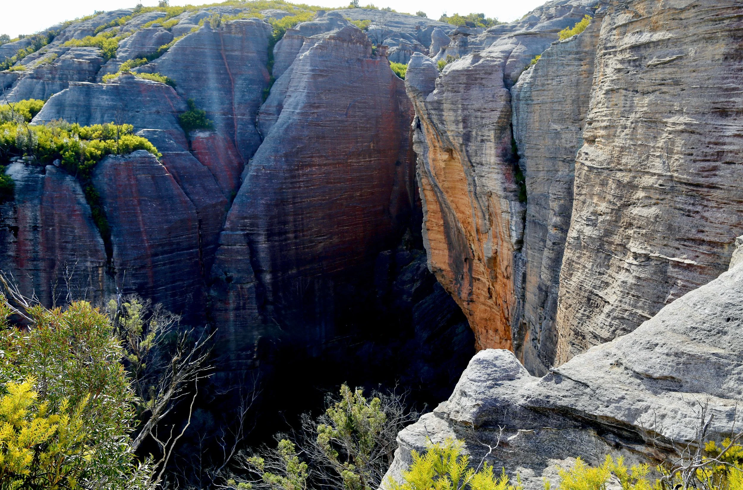
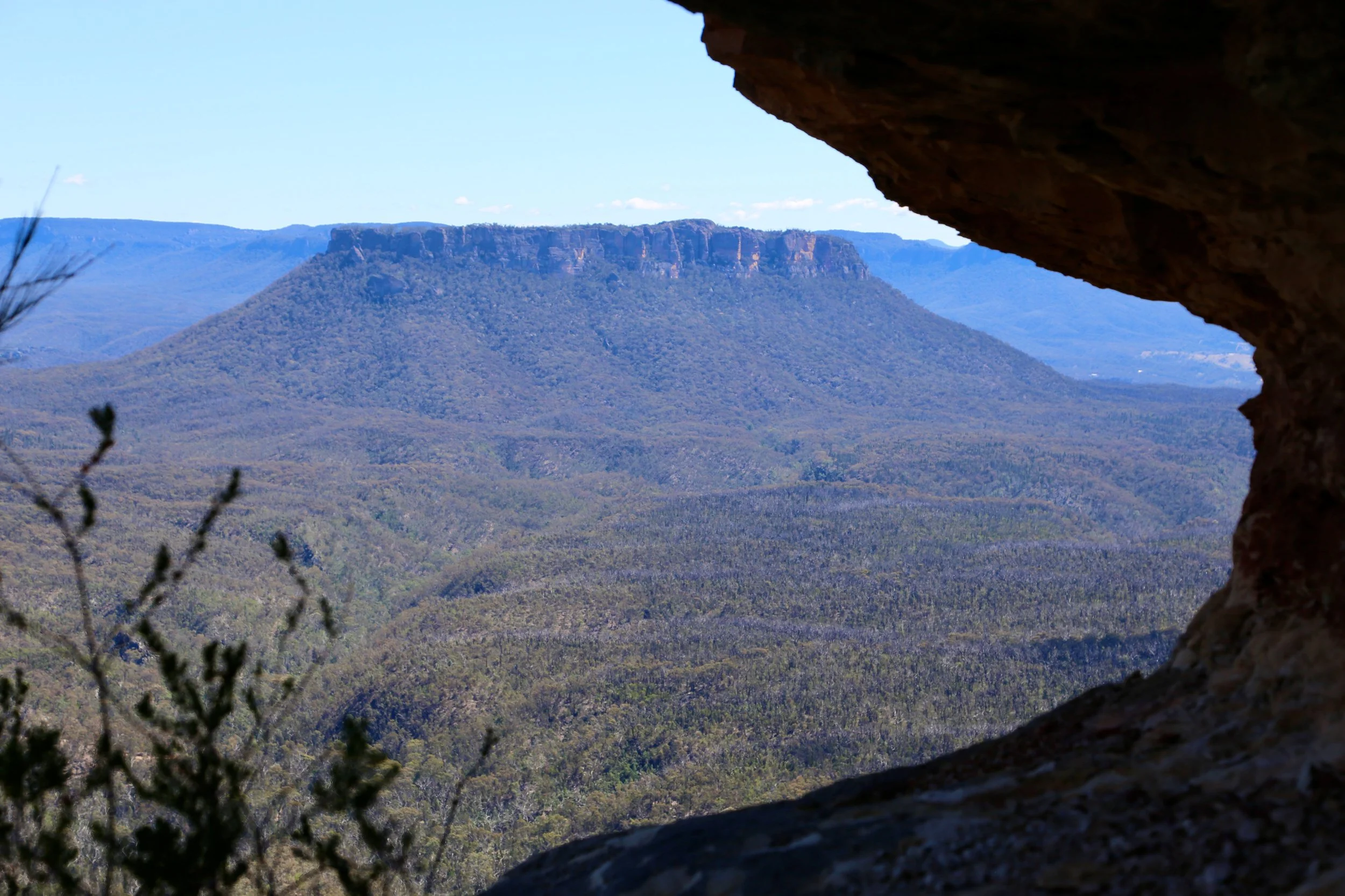
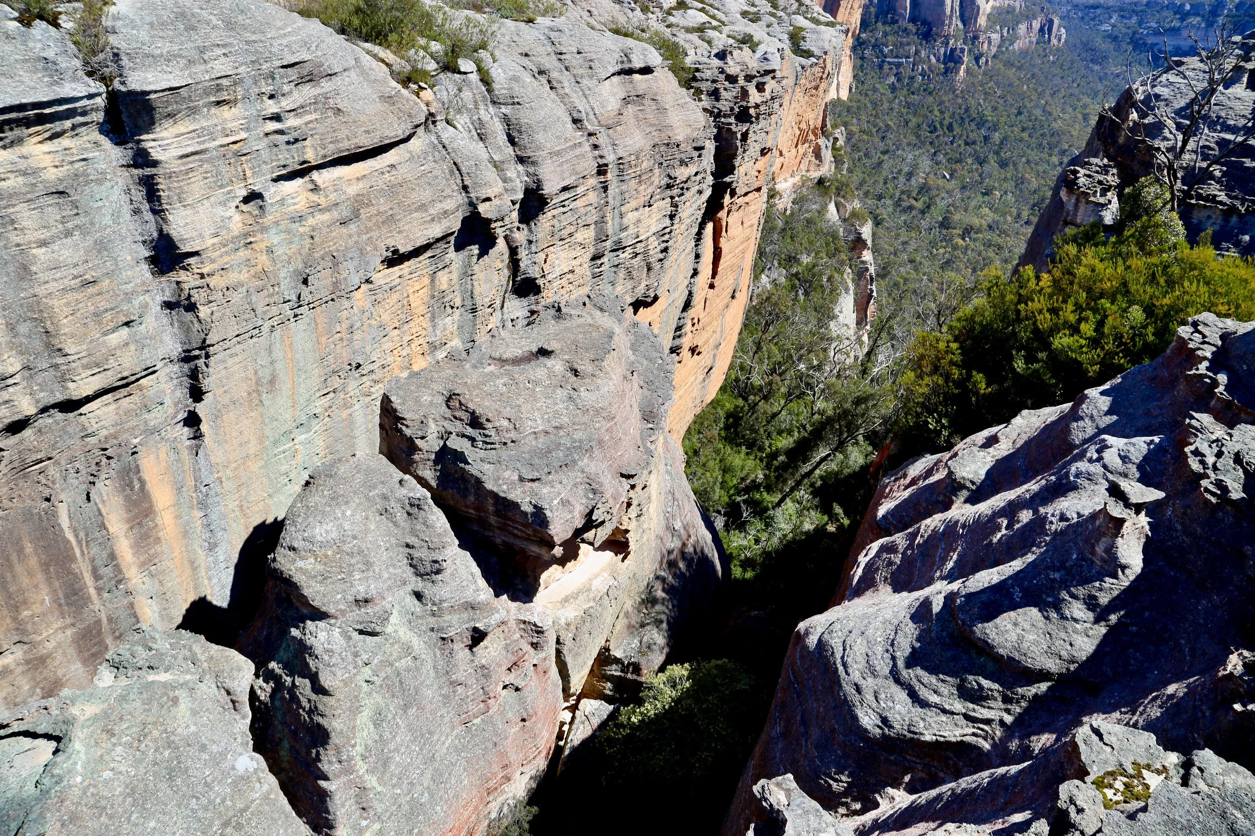
Looking into Jamison Pass on an earlier walk, before we explored the way through.
-
Date: October 2026
Distance: 7 km
Elevation gain: 400 m
Grade: 5 — off-track navigation, thick scrub, exposed ledges and scrambling through a narrow boulder constriction, with rope assistance used.
Location: Wolgan–Capertee Divide, on the boundary between Wolgan State Forest and Gardens of Stone National Park.
Map: NSW Topographic 1:25,000: Ben Bullen
Conditions: Thick scrub in the lower passes, shaded fern-filled sections within Jamison Pass, and open walking along the cliff top skyline.
Notable features: McLeans Pass, the cliff-base traverse, Jamison Pass, Plain of Shards / Exploded Pagoda, Stargate Tunnel.
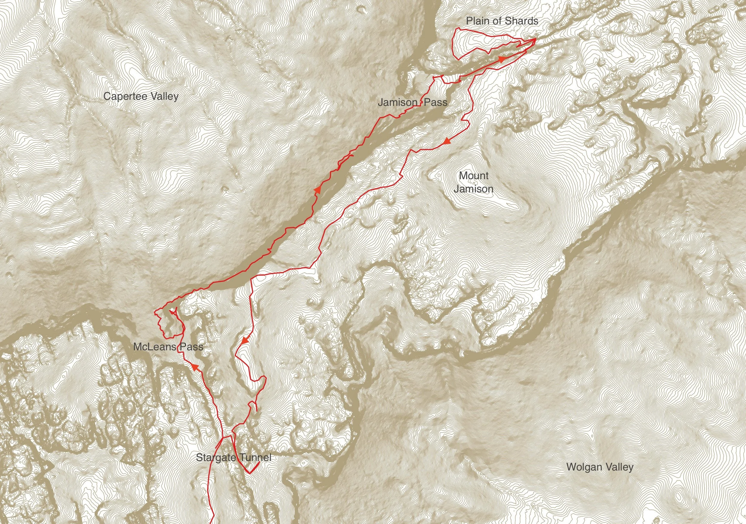
Trip context: Clockwise circuit, descending McLeans Pass, traversing beneath the cliffs and ascending Jamison Pass before returning along the skyline.
Related article: The Pagoda Skyline — the clifftop route along the Wolgan–Capertee Divide towards Point Cameron.Photography: Sandstone Symphony (unless noted otherwise).
For years, we had crossed the top of Jamison Pass and wondered about the rest of it.
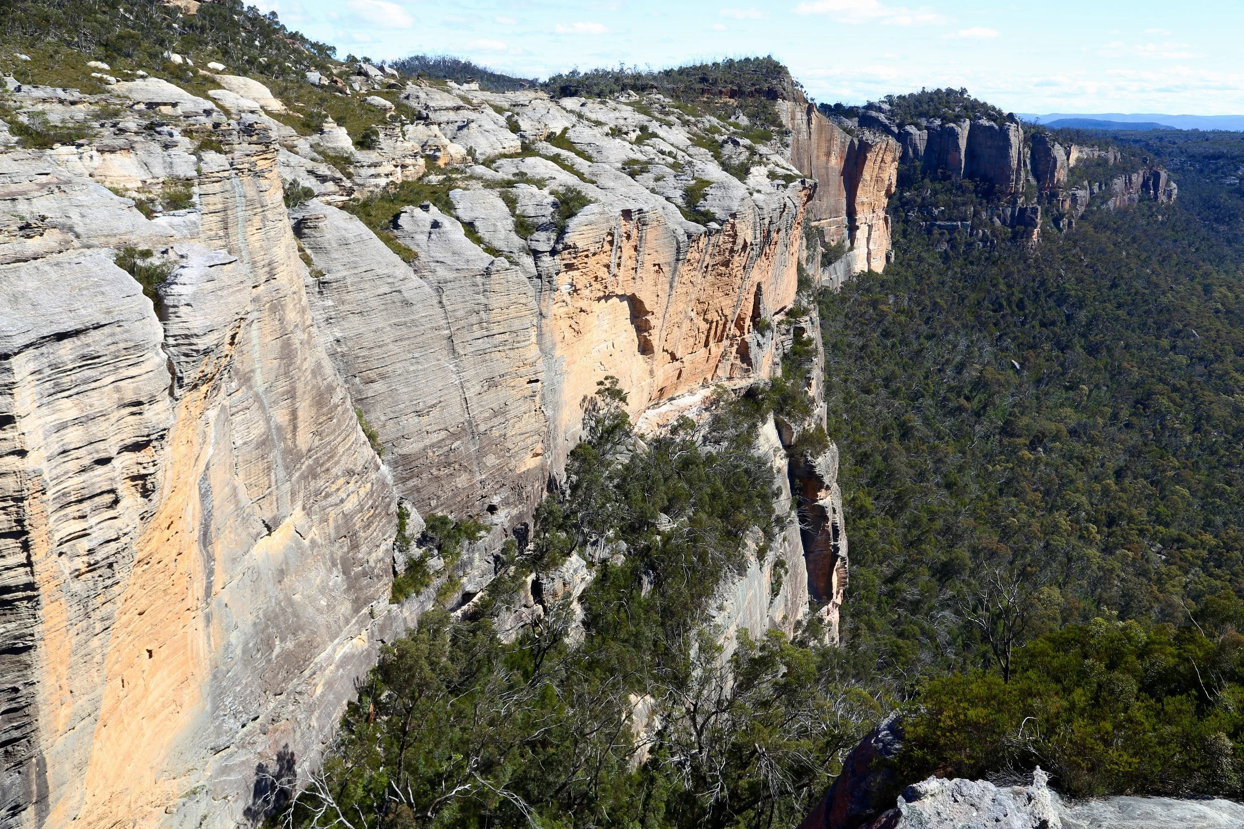
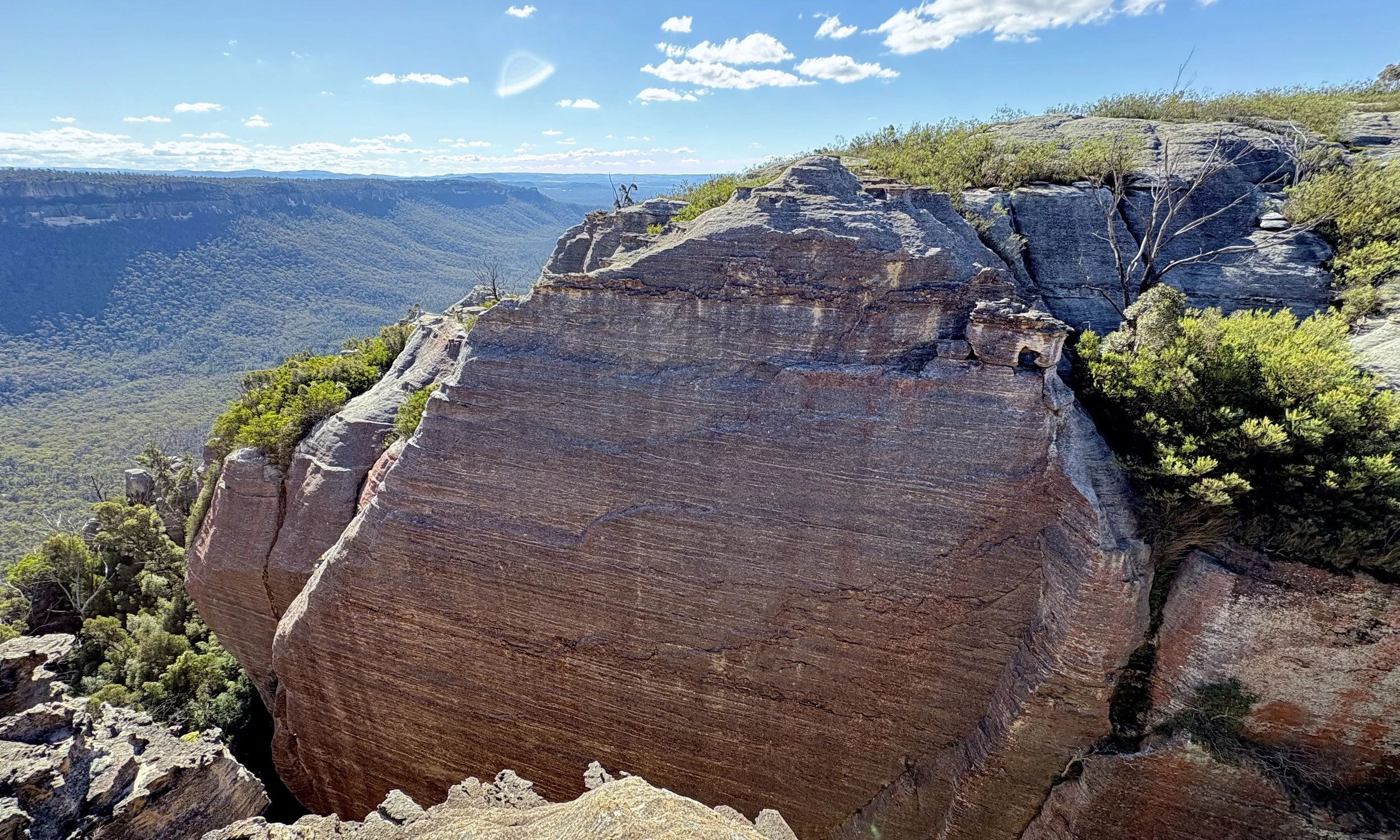
On half a dozen visits to the Wolgan–Capertee Divide, I had crossed its upper reaches on the way towards Point Cameron. From above, it was a dramatic interruption to the skyline: a deep gap between sandstone walls, with pink and purple faces beneath the rounded pagodas. Crossing the top required a little negotiation. What lay below remained largely out of sight.
From the cliffs between Mercury’s Boot and Baal Bone Point, the break in the escarpment was clearer. Somewhere in that cleft was a way between the valley side and the skyline. I had been wondering what it would be like to walk through it.
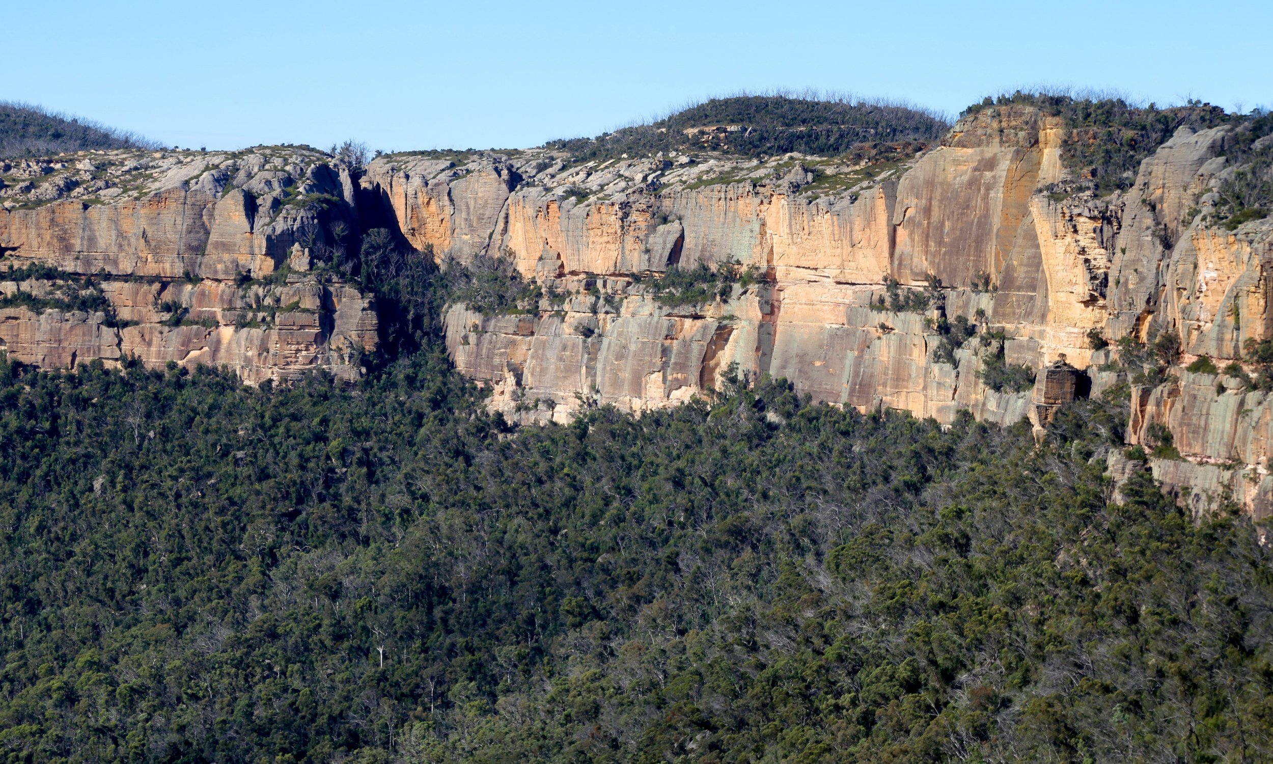
Jamison Pass seen from across the valley on an earlier walk. For years, the view invited a closer look.
The Bush Explorers’ Gardens of Stone Book No. 9 shaped our walk: descend through McLeans Pass, follow the base of the cliffs, then climb through Jamison Pass to return along the top. There were two uncertainties. Could we find a continuous way along the cliff base? And could the whole party get through the narrow rock section in the pass?
The clockwise direction was deliberate. It put the unknown ground in the first half of the day, while there was still time to work things out. It also saved the skyline for the reward: the big reveal as we emerged above the cliffs, with the difficult and uncertain part behind us and the country opening out ahead.
The approach was familiar. From the Bicentennial National Trail, McLeans Pass Ridge led through scrub towards the country I knew from the skyline walks. At the pass, the usual route continued up the familiar steep sandstone ramp and back onto the ridge. This time we turned downhill, towards the Capertee Valley.
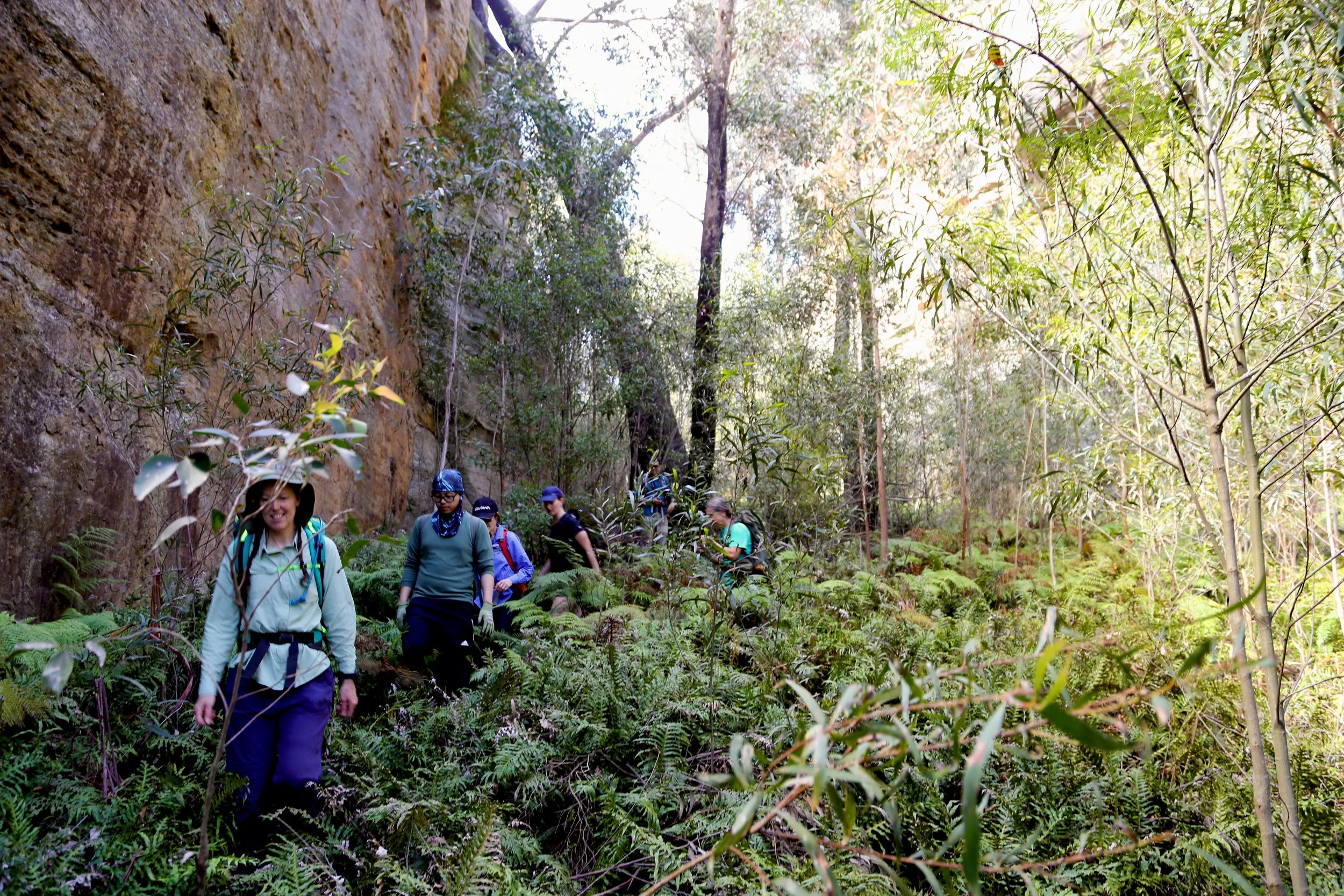
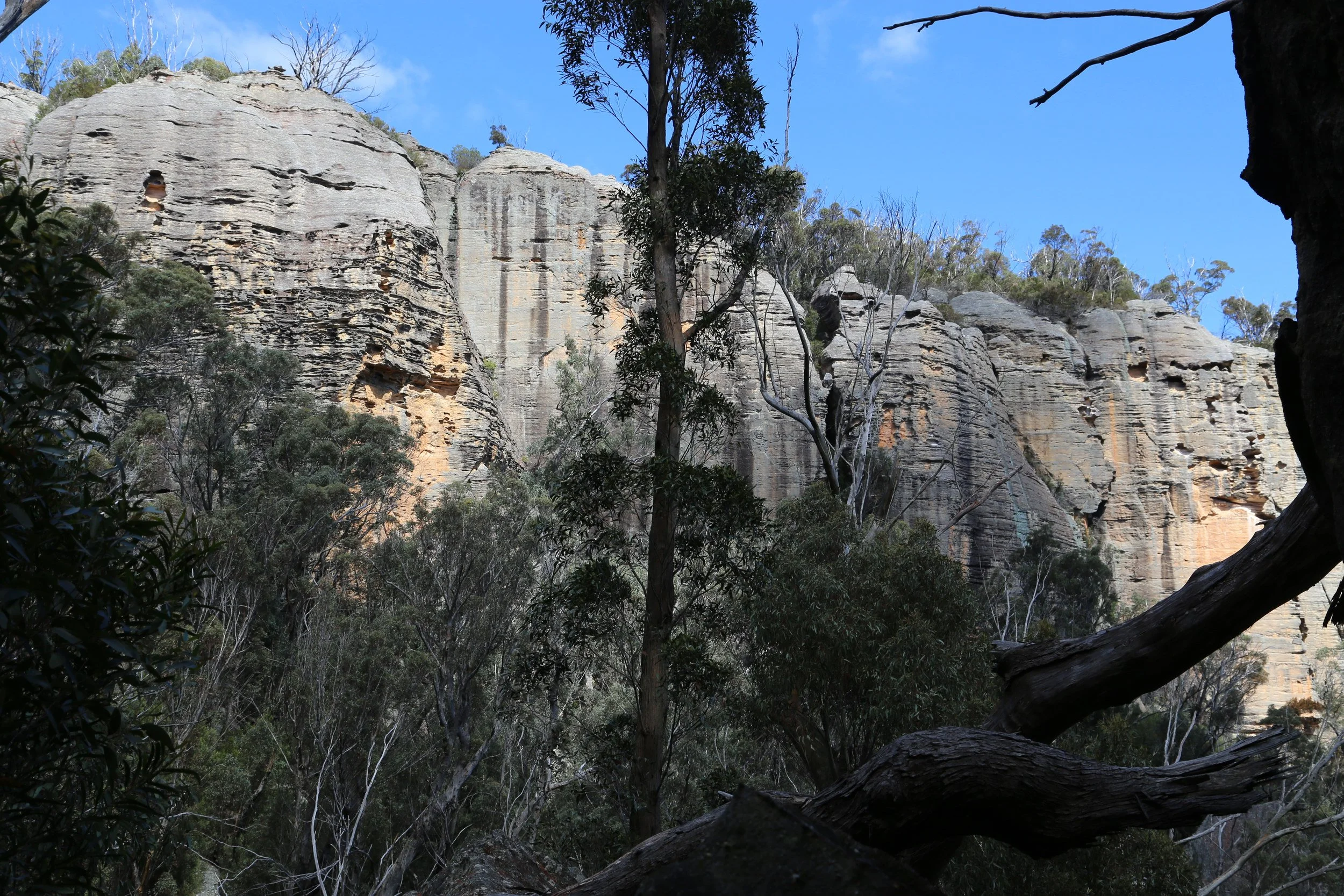
McLeans Pass separates the drainage towards the Wolgan Valley from that flowing north into the Capertee Valley. Its name appears on an 1885 parish map. The two passes and the cliffline between them also mark a boundary: Wolgan State Forest lies to the east, on the upper side of the cliffs, while Gardens of Stone National Park lies below and to the west.
At first, the descent was broad and straightforward. The understorey was open and relatively clear. The pagoda walls of Mount McLean rose above us. An overhang and neighbouring platform provided an excellent morning-tea stop: shelter beneath the cliff, with the forested talus slope falling north into the Capertee Valley below.
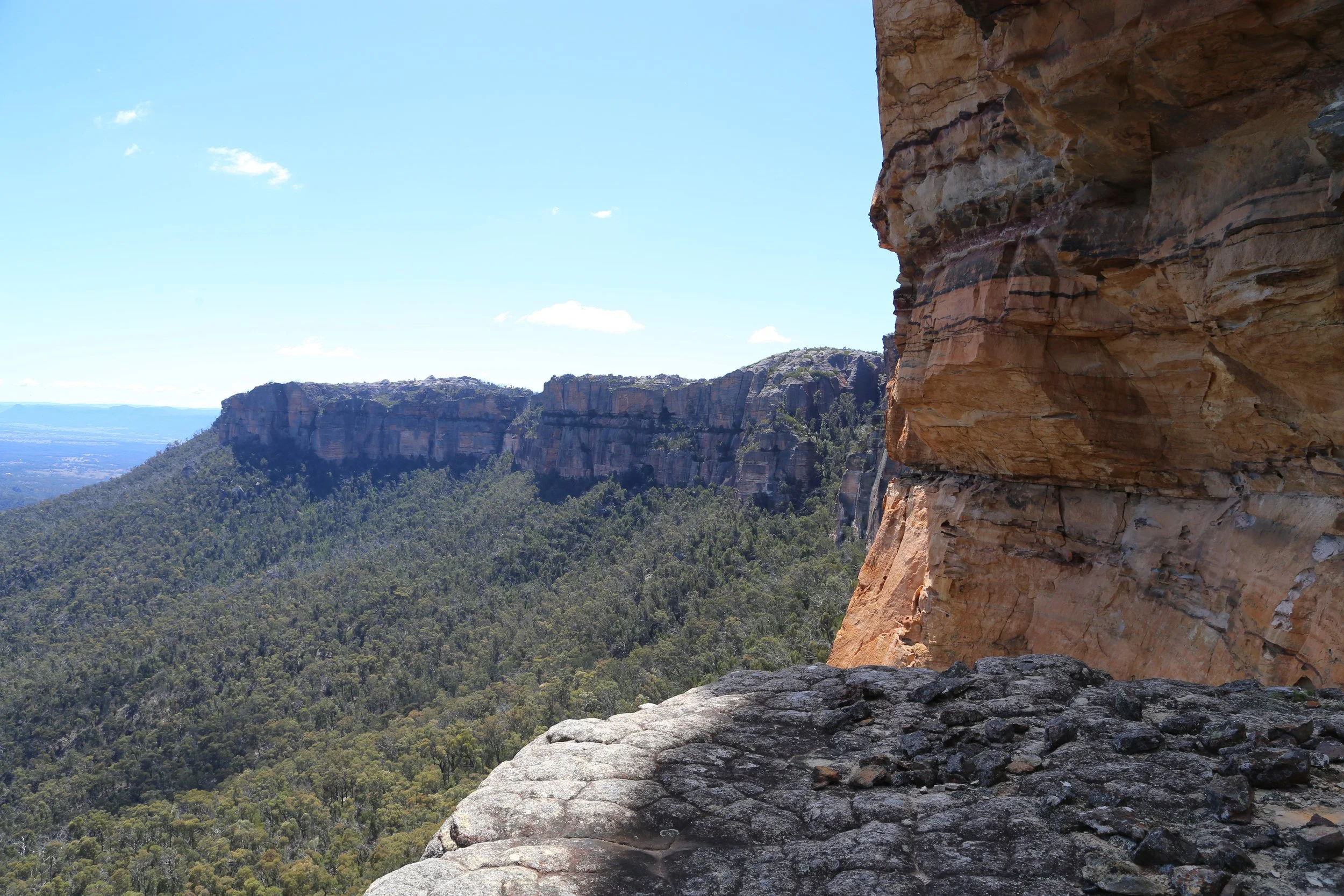
Further down, scrub swallowed the pass and hid the enormous walls on either side. We were travelling blind along the dry watercourse, unsure where to turn towards the cliff base. Somewhere above us were thousands of tonnes of useful navigational information. None of it was visible.
Aerial imagery on our navigational apps helped place us beneath the escarpment. We chose a point to turn north-east and pushed through. The cliff appeared where we hoped it would.
Once there, progress became surprisingly simple. Much of the ground beside the wall was relatively clear, and the cliff itself supplied the direction. After the blind descent through scrub, it was a relief to have something so large to follow.
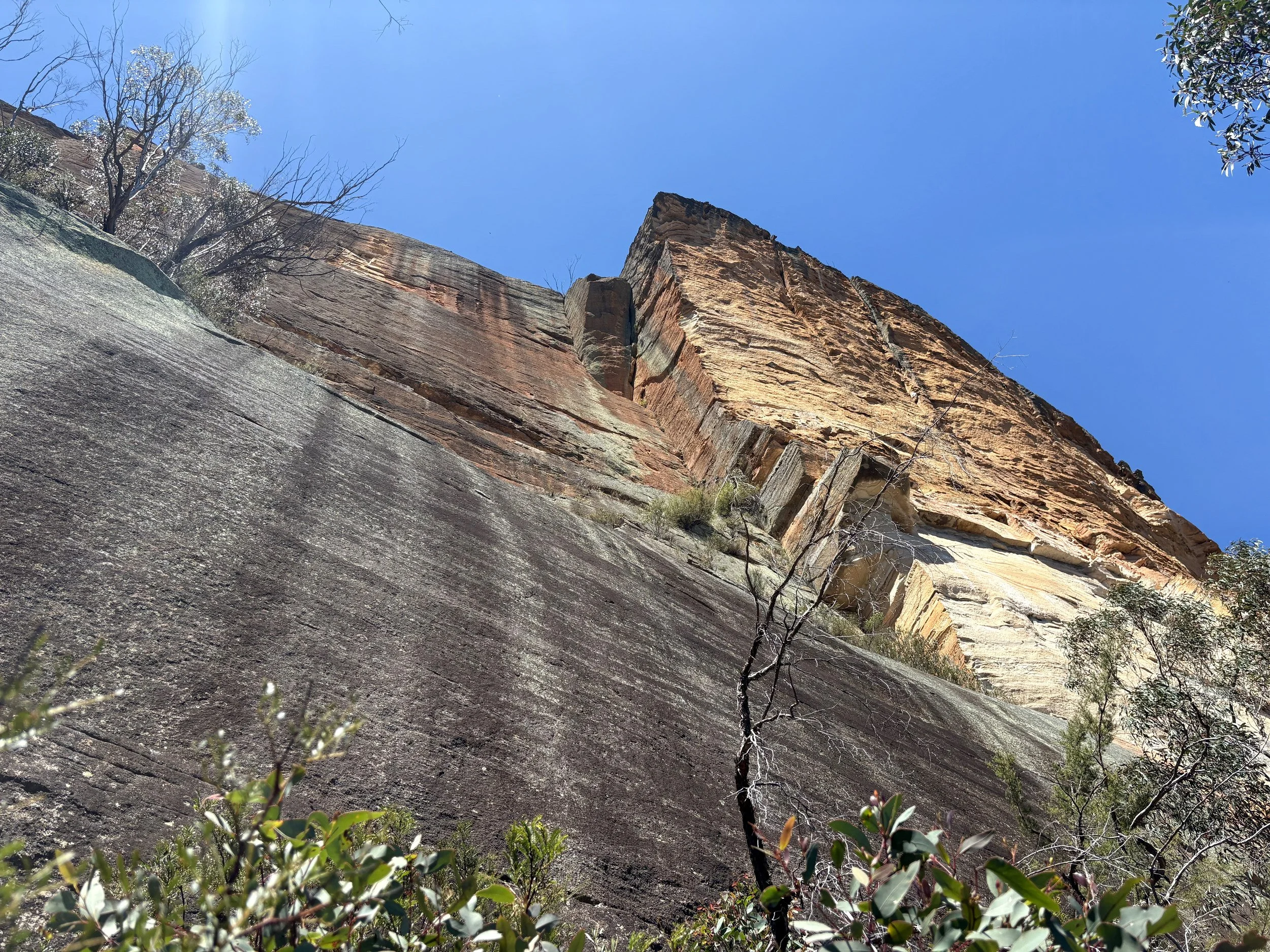
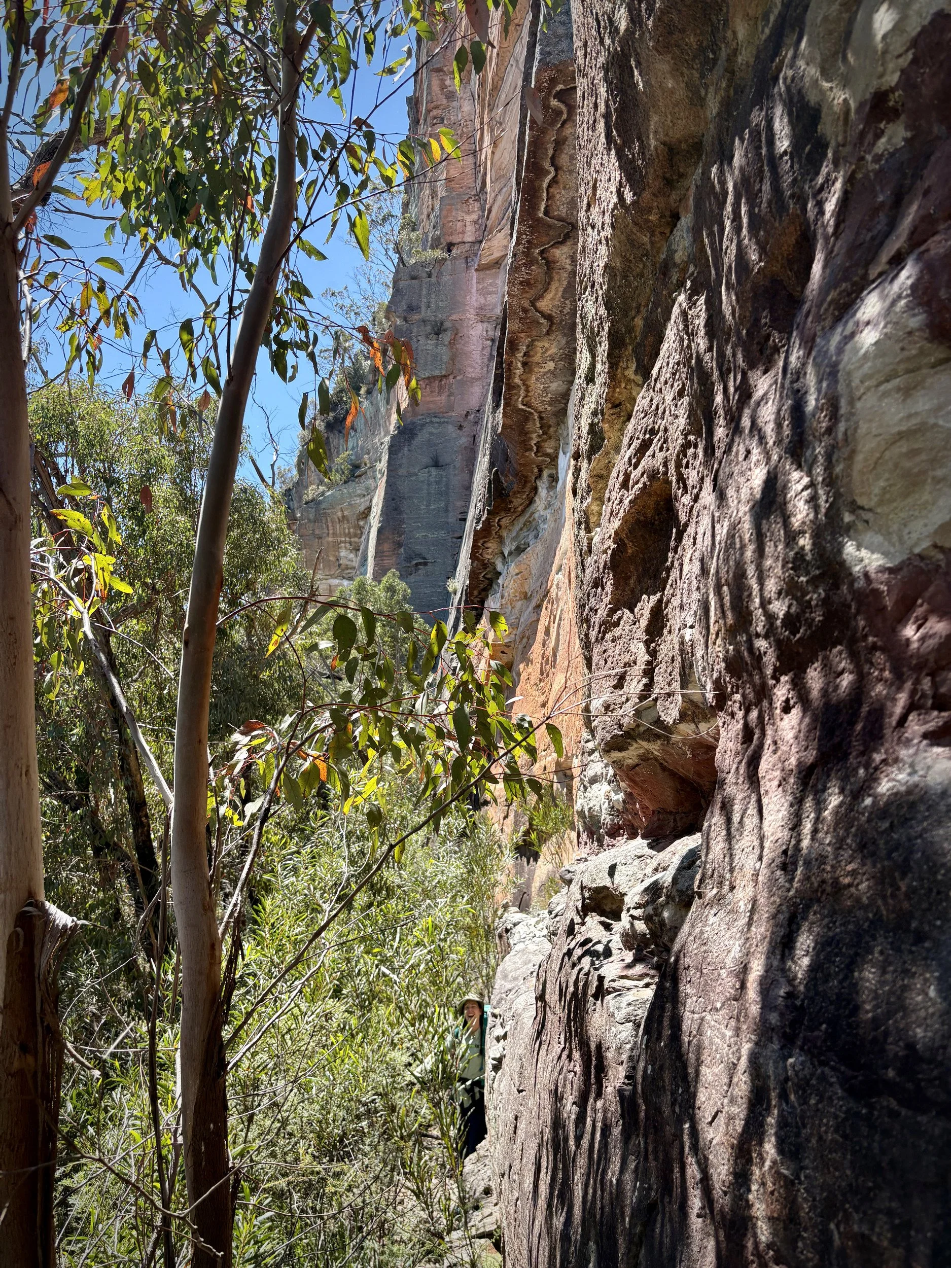
The easy going had made us complacent. Following the cliff base had drawn us onto a narrow ledge, which eventually ran out. We were cliffed out. A hand line was set and half the party descended. The others doubled back about thirty metres and found a less technical solution to our lapse of attention.
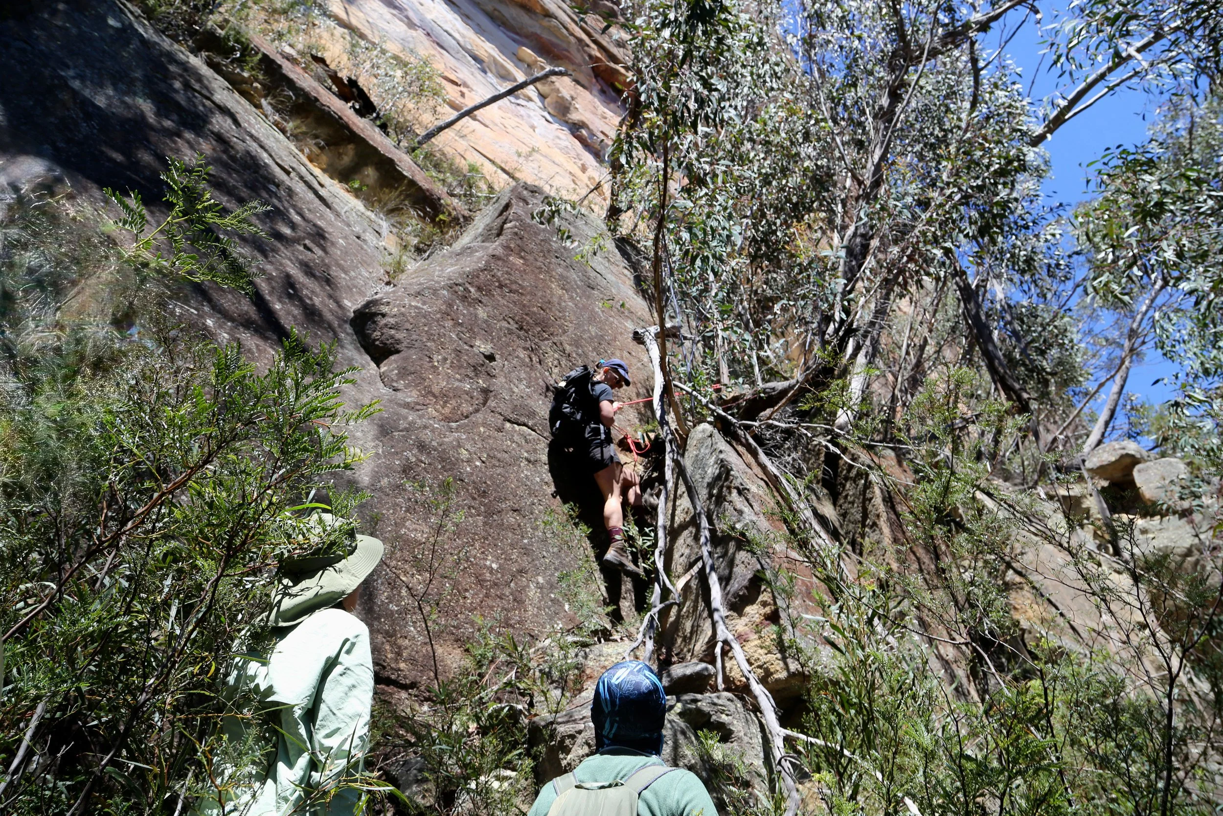
Cliffed out. A hand line helps the group off the ledge.
The thickest scrub of the day waited at the foot of Jamison Pass, where the ground steepened into the cleft. Once again, visibility was removed by whatever was currently scratching us. Fortunately, it did not last and shortly on the cleft’s southern side, rock terraces offered an unexpectedly comfortable place for lunch. Four or five levels of natural seating faced the Capertee Valley in the midday sun. I regret not taking a photograph of those fine terraces. I have photographed considerably less impressive locations.
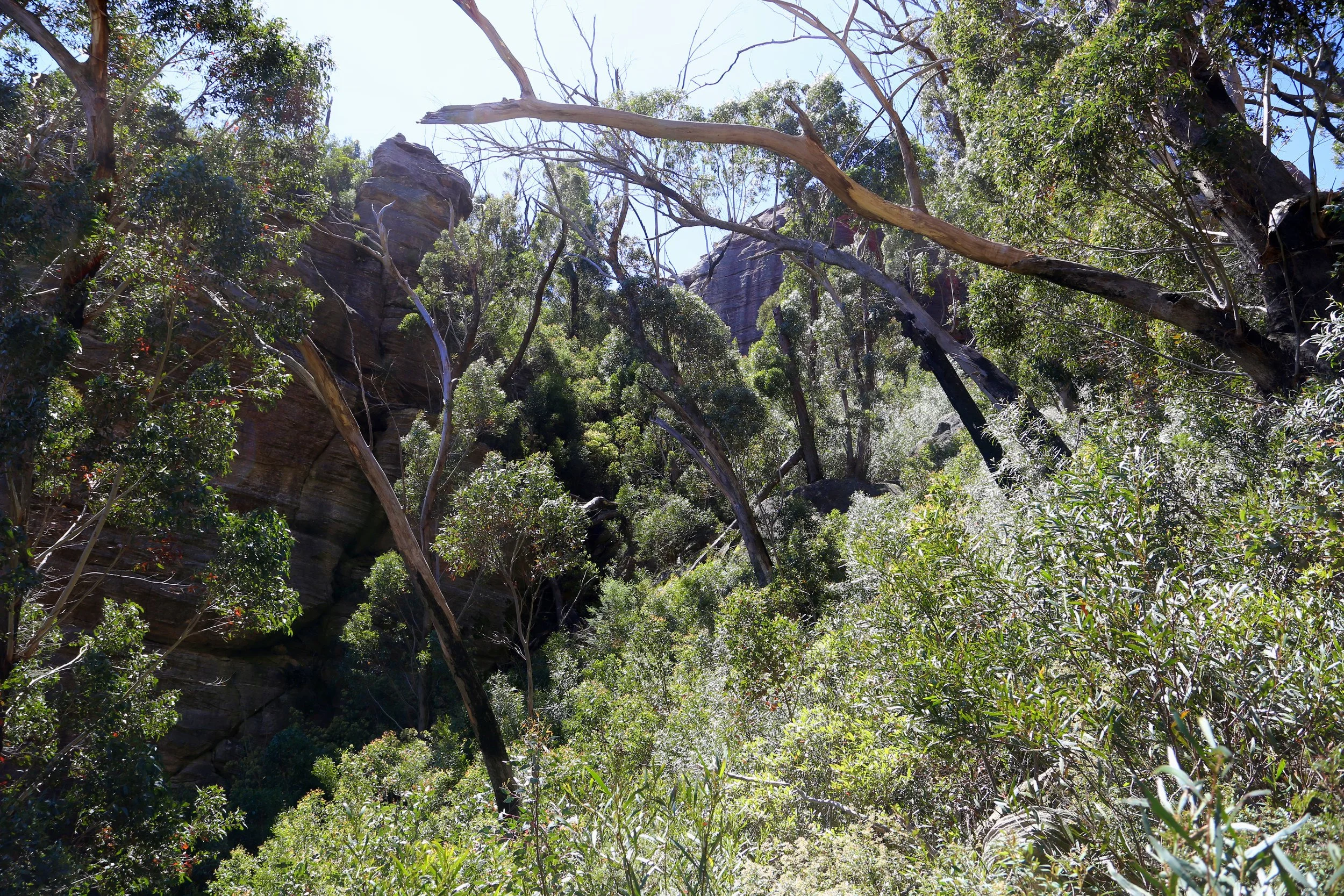
Approaching Jamison Pass from below.
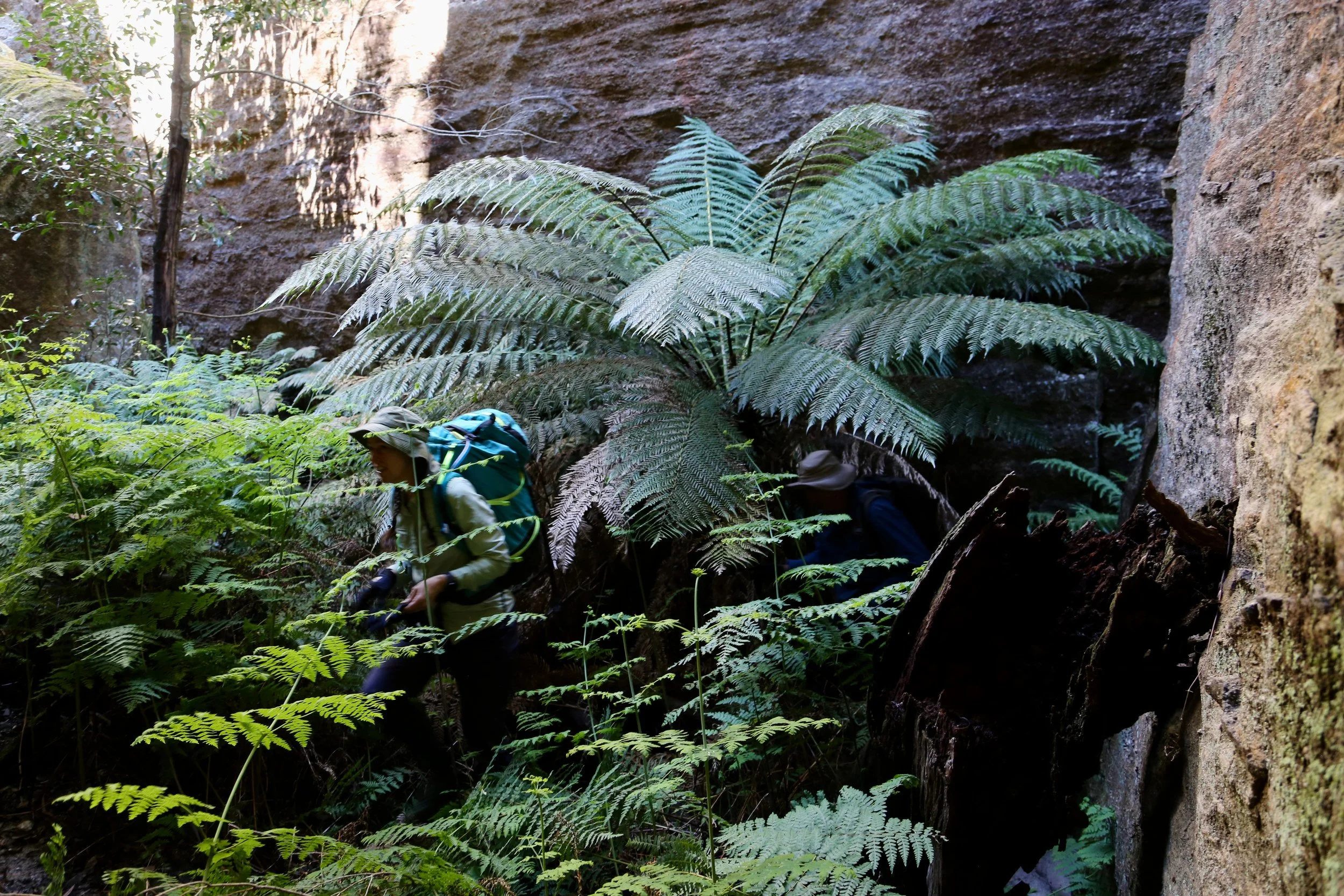
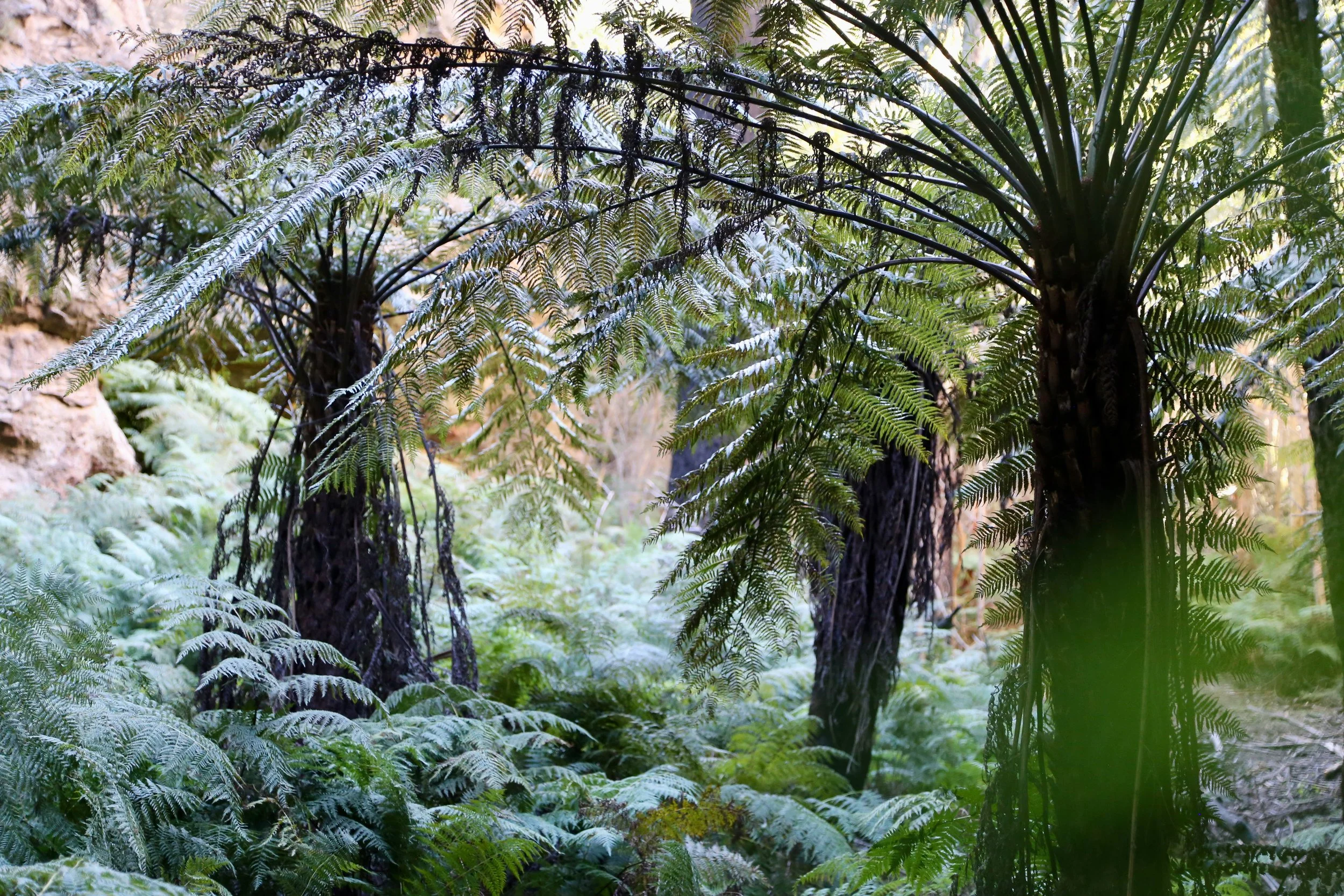
Inside the pass, the heat eased. The northern wall sheltered us from the midday sun, with ferns and more sheltered vegetation replacing the exposed scrub. The book records anchor vines and possumwood here, among the rainforest plants taking advantage of the protected cleft. The ground briefly levelled. Then the pink and purple wall, so familiar from above, rose in front of us.
At its foot, the rock glowed red. Moss softened parts of the sandstone. Seen at this distance, the great face was full of small details that the clifftop views had never revealed.
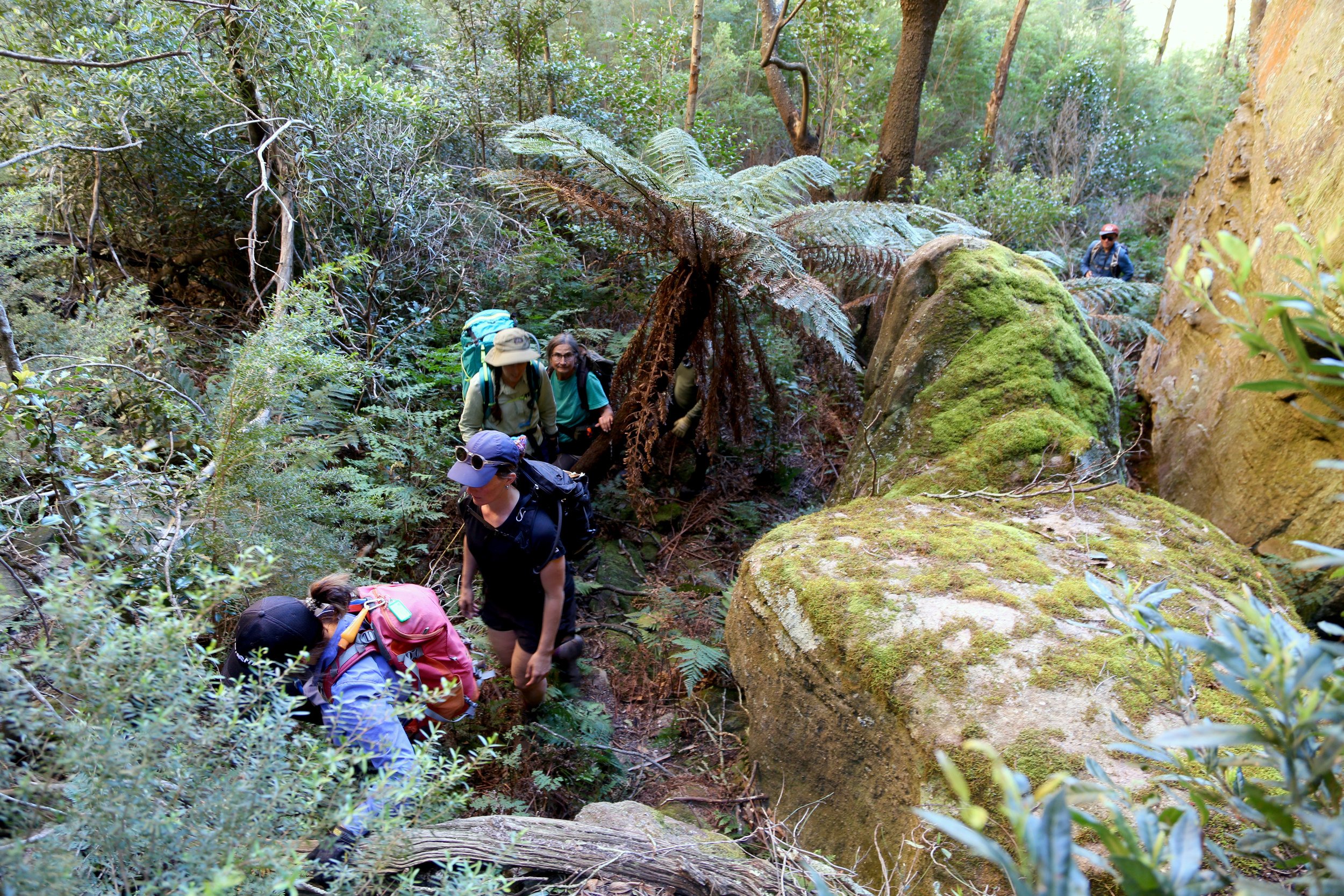
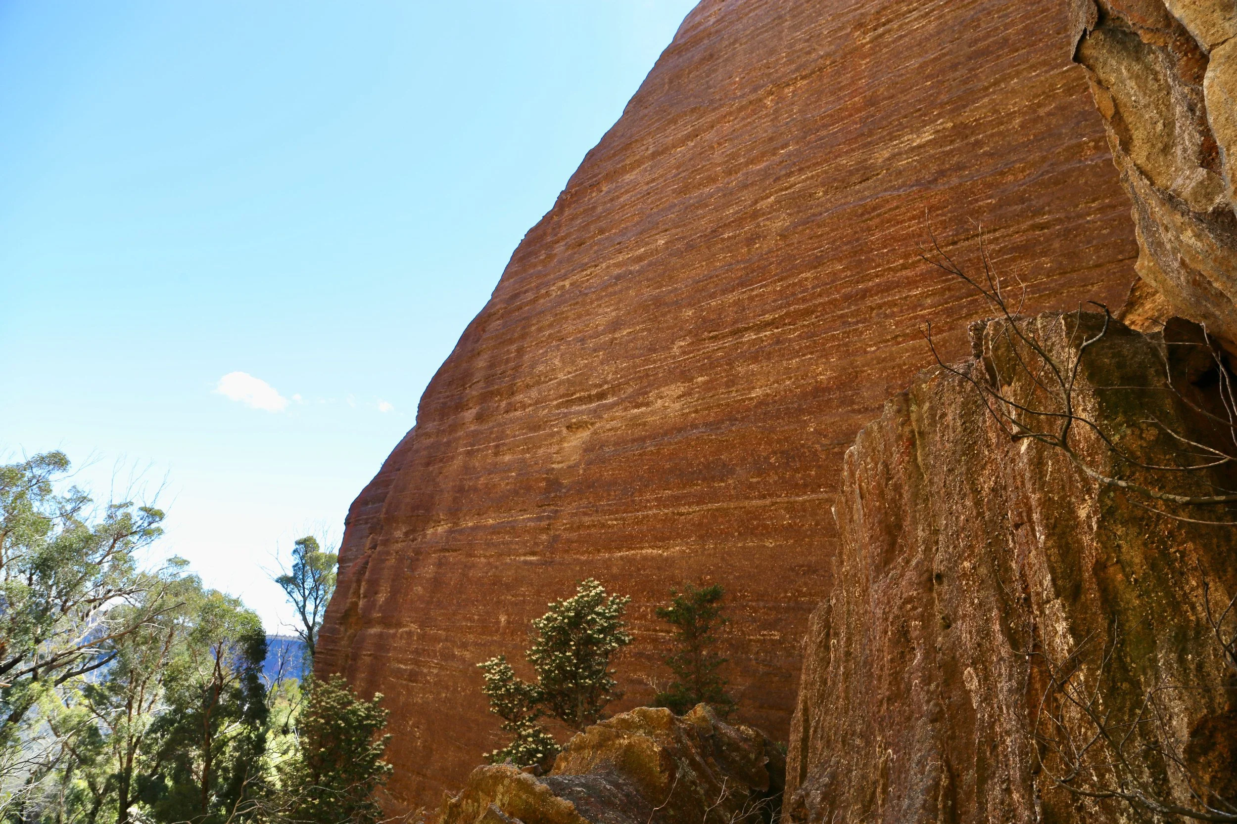
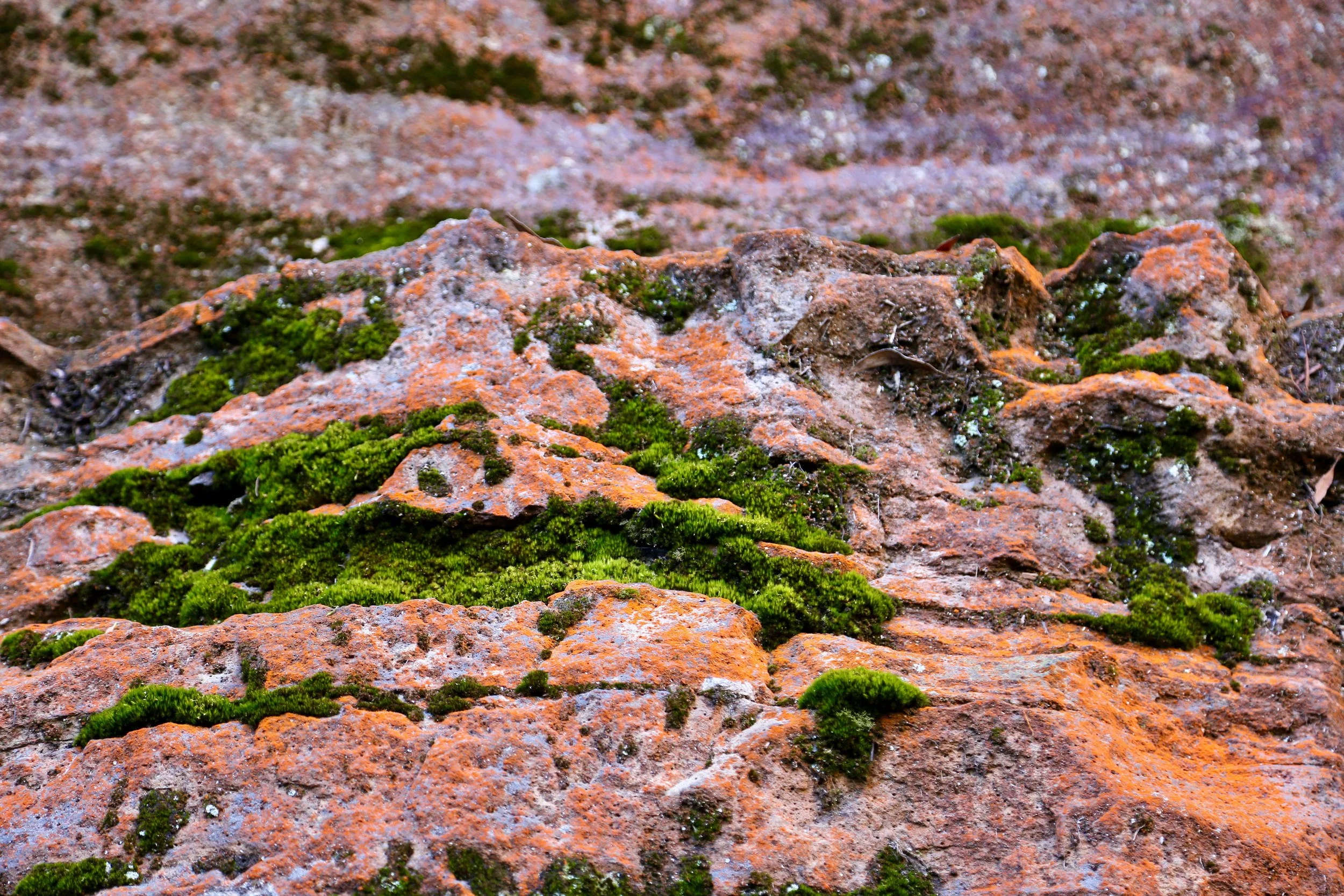
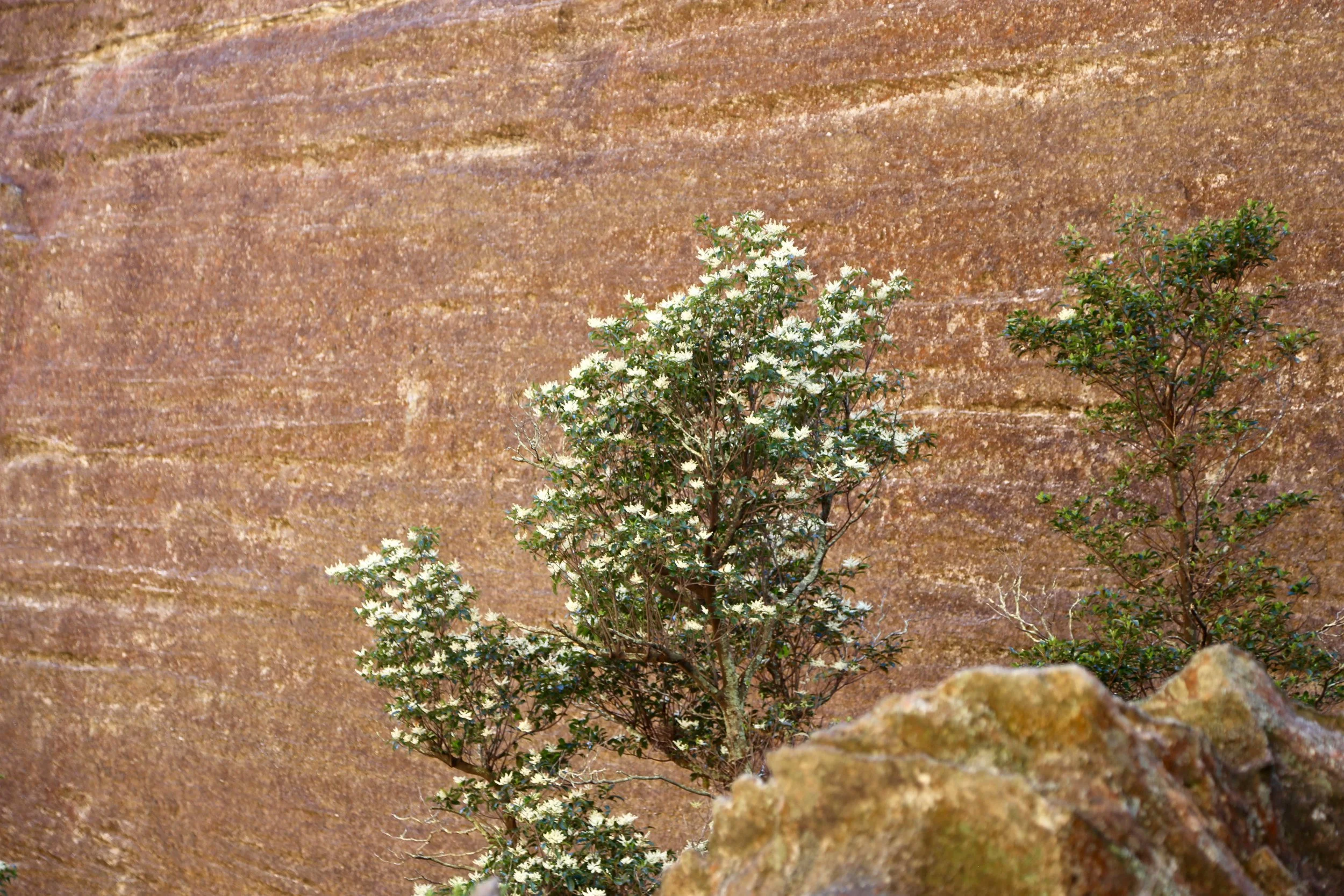
The Bush Explorers describe Jamison Pass as a cleft about 300 metres long, narrowing in places to a metre, with a difficult middle section. Michael Keats named it on a Bush Club walk in September 2013; the upper section has also been known as the Chasm.
Boulders crowded the passage half way through the pass and the walls closed in. Finding a way through the pile-up took time. Each opening had to be assessed, and the twisting passage between the fallen rocks brought us to a climb past rocks wedged in the narrow slot. Getting through the first obstacle still left the harder climb ahead.
At the constriction, a pile of wedged boulders would decide whether we could continue. The stronger scramblers climbed over and fixed a rope for the rest of us. Getting the whole party and packs through was a slow business, with little room to move between the close walls.
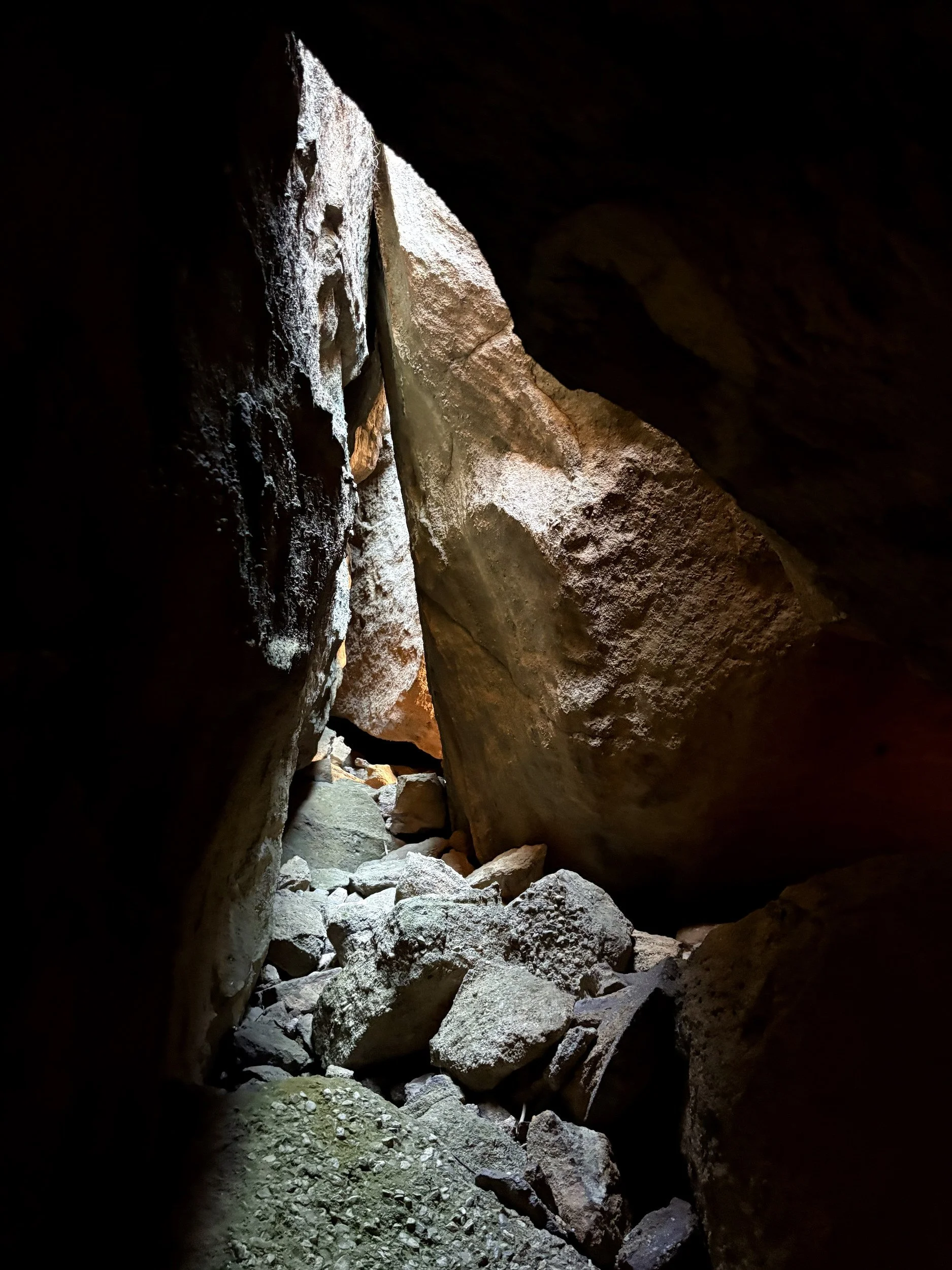
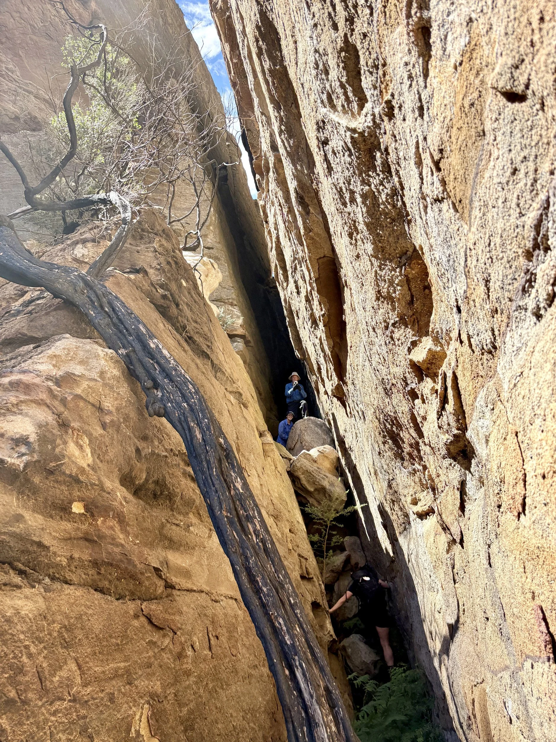
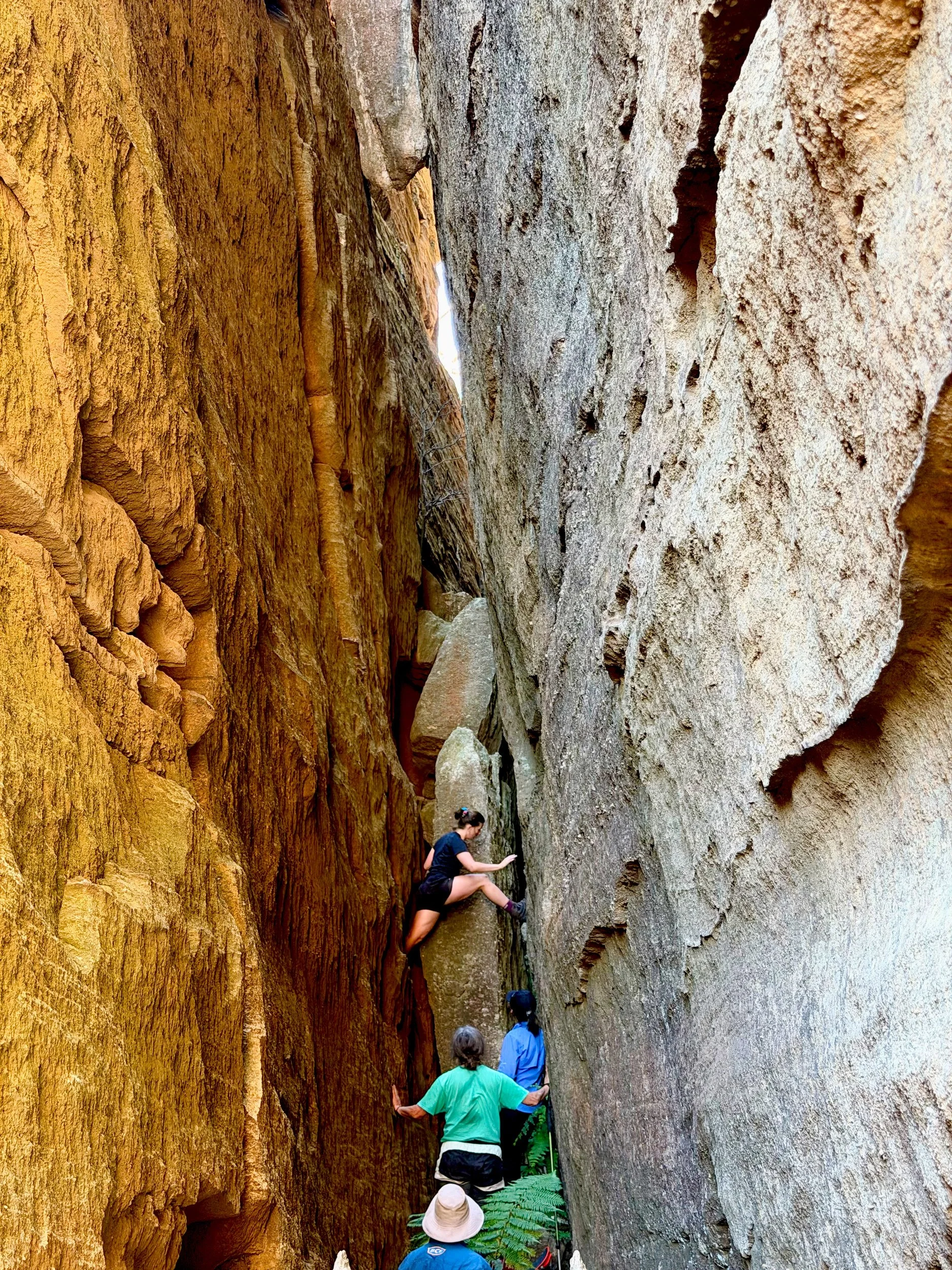
Getting everyone above it brought considerable relief. Having to retrace our route would have been a dispiriting end to the day. The awkward section was behind us, and the pass continued upwards.
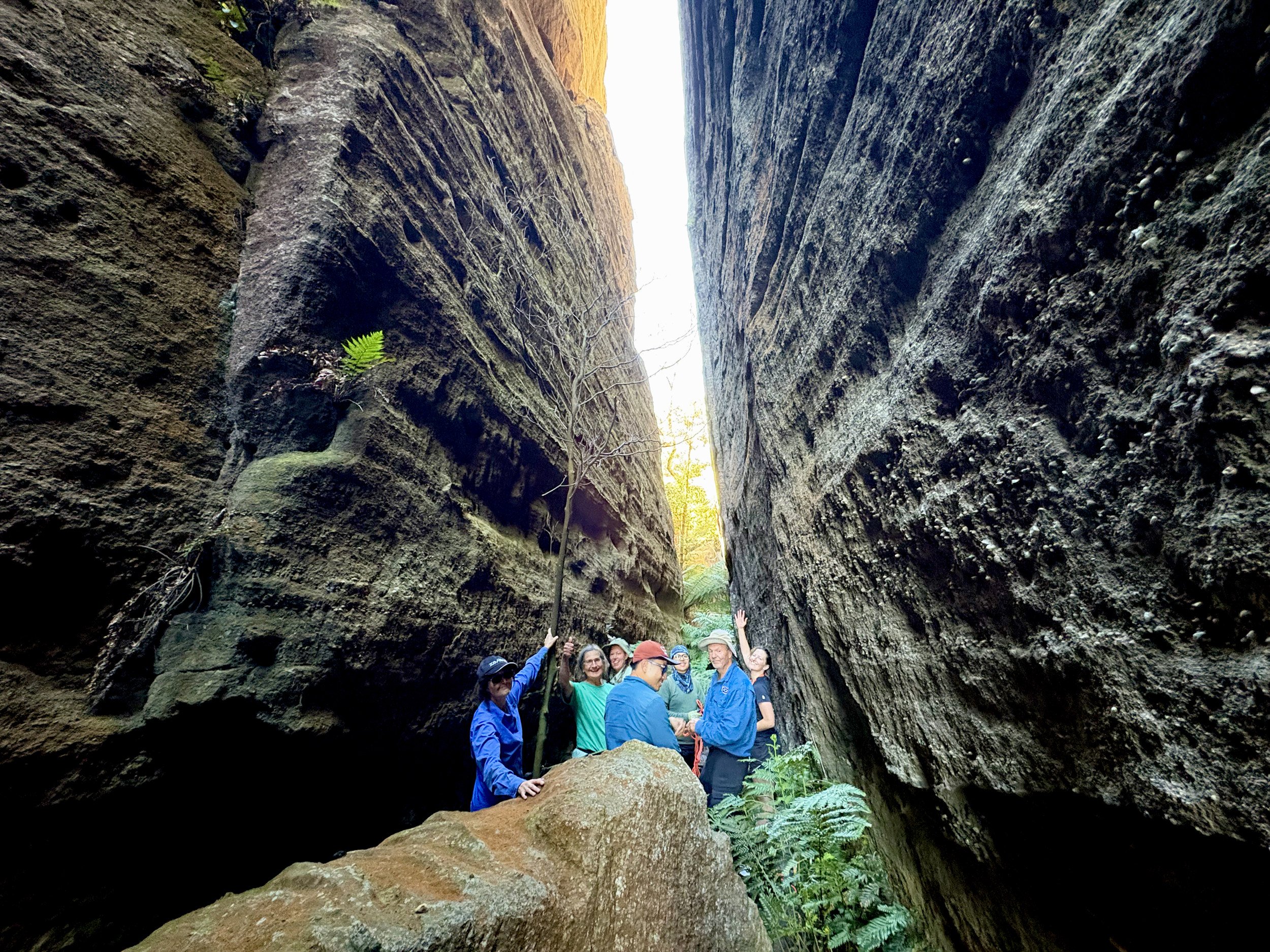
Above the difficult section. Considerable relief, briefly assembled for a photograph.
Beyond the boulders, a flat sandy floor led between ferns and close walls. Further up, the passage opened into a tall squared chamber, its sheer sides rising above the sand. After the scrub and scrambling, this quiet space felt almost ceremonial. A small sandstone cathedral hidden inside the divide.
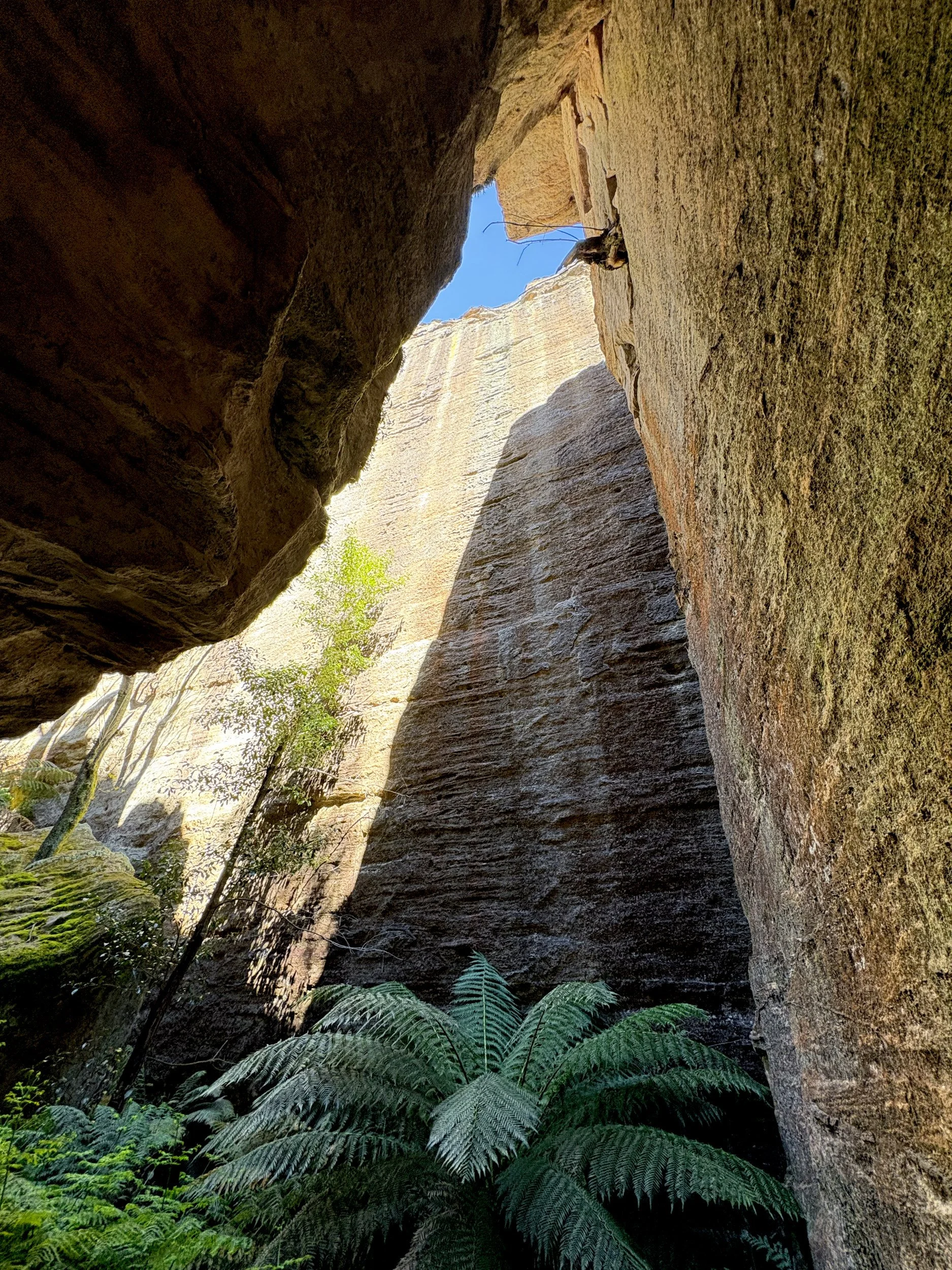
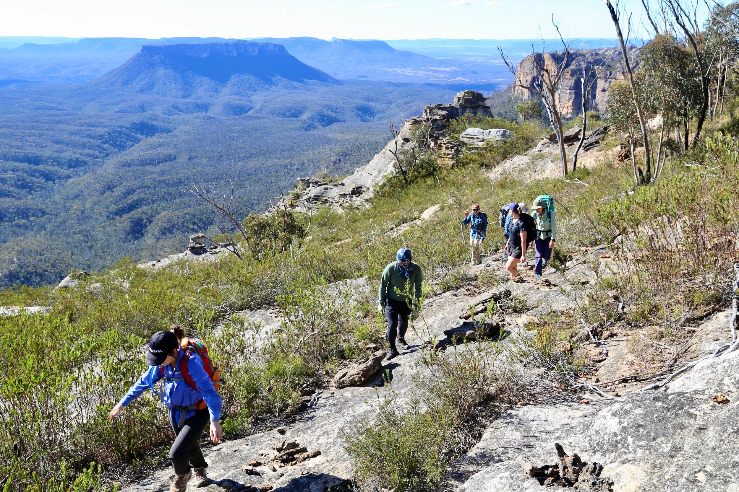
Emerging onto the skyline brought the reveal we had hoped for. After the enclosed passage and the slow work among the boulders, there was suddenly room to look out. We looked back into the chasm, then moved further around to see the cliffs beneath which we had walked. Their height was familiar. Their relationship to the ground below was much clearer now.
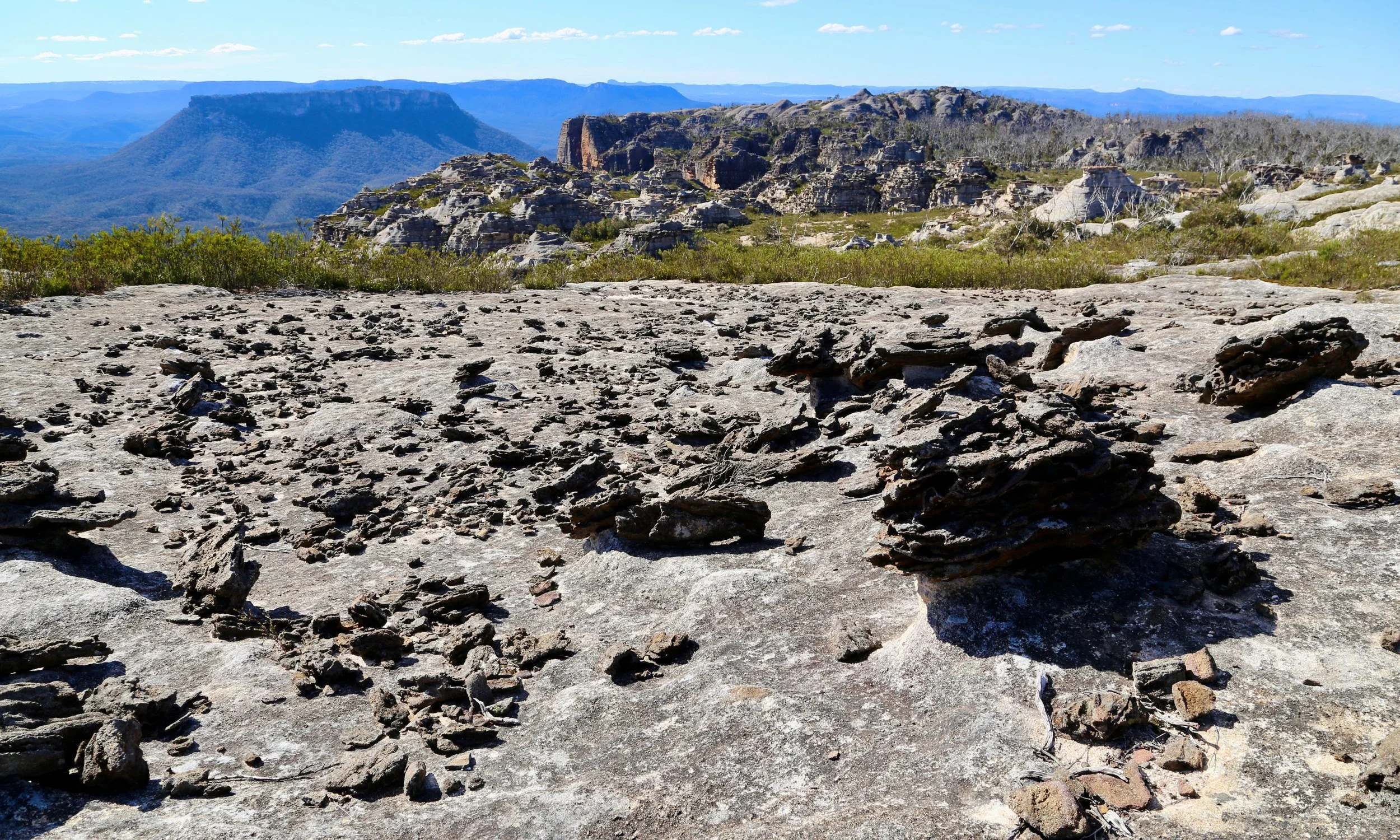
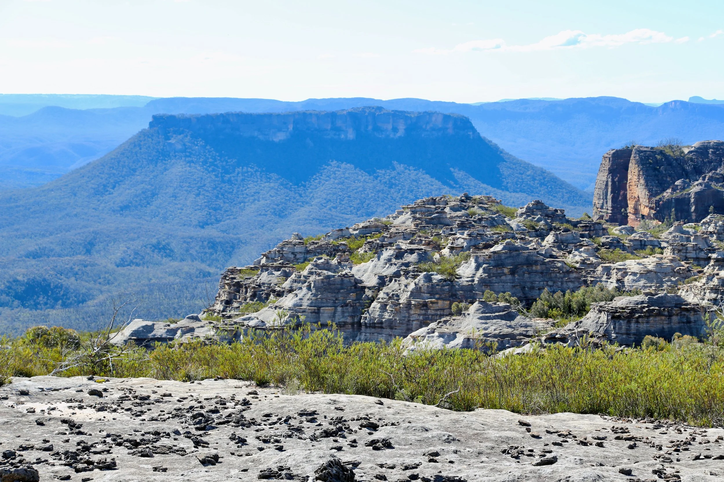
North of the pass, the country opened towards Pantoneys Crown. Across the Plain of Shards, fragments of ironstone lay scattered over pale sandstone. Rodney Falconer named it in November 1984 for the resemblance to broken pottery. David Noble calls it the Exploded Pagoda, an equally fitting name for this scattered landscape. It was familiar ground, albeit this time reached from an unfamiliar direction.
The return brought us across the upper reaches of Jamison Pass again. Earlier, we had climbed through the cleft; now we crossed it on the skyline route. The gap I had wondered about for years had acquired a floor, a red wall, a terraced seating area with a view, an awkward ledge and a quiet chamber.
There was one disadvantage to our direction: as we followed the skyline, we walked with our backs to some of the finest views in the Greater Blue Mountains. I had chosen the direction of travel, so the constant need to turn around was my own fault.
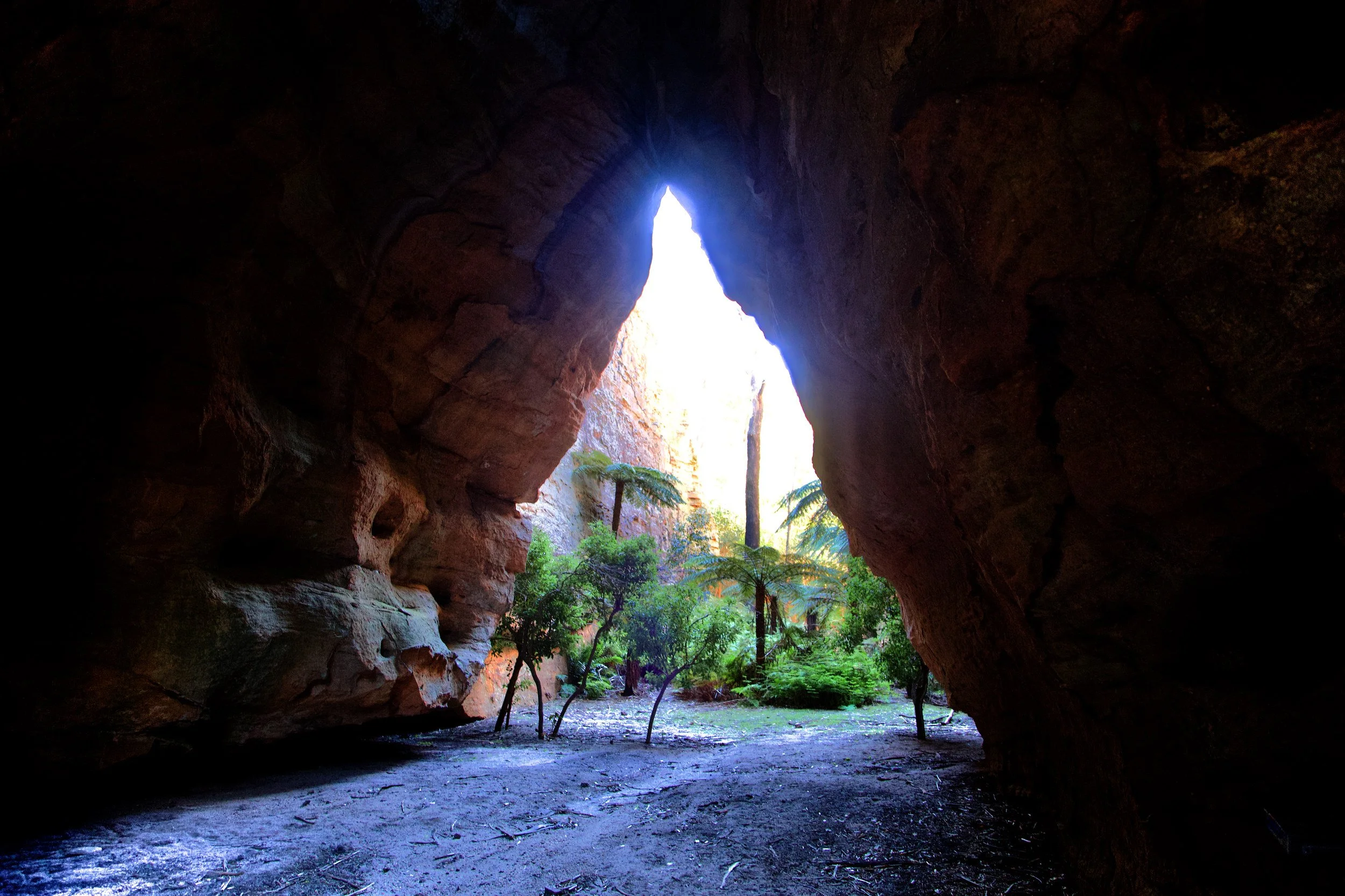
Back at McLeans Pass, there was time for Stargate Tunnel. A tilted sandstone block forms its triangular roof above a sandy creek bed. The Bush Explorers record Gary Hansen naming the tunnel in the first logbook entry, dated 17 August 1975. We added our names to the current logbook before returning to the ridge.
Afternoon sun lit the walk back towards the cars, with views into the Wolgan Valley through the scrub. Jamison Pass was out of sight again. On the next skyline walk, I would know a little more of what lay beneath it.
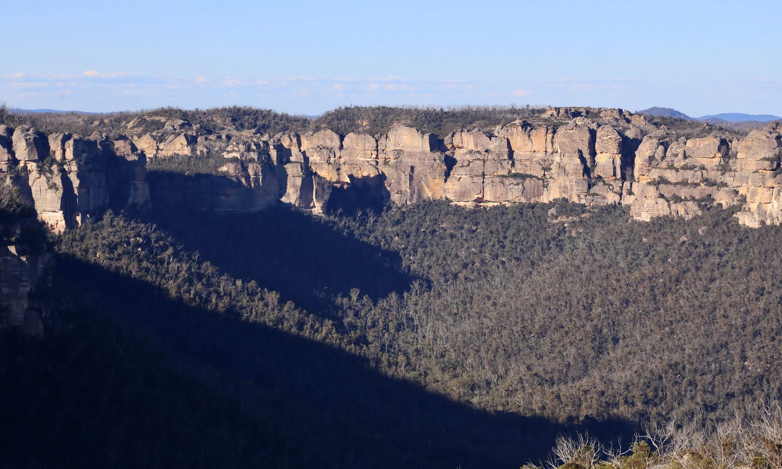
Afternoon light and long shadows across the upper reaches of the Wolgan Valley.
Contour study
References and further reading
Bush Explorers — The Gardens of Stone National Park and beyond, Book No. 9. Walk 9.8, “McLeans Pass to Jamison Pass”, pp. 294–309. The inspiration for this circuit.
Bush Explorers: Jamison Pass — description of the pass and its naming history.
Bush Explorers: McLeans Pass — geographical and historical background.
Bush Explorers: Stargate Tunnel — the tunnel and its recorded naming in the 1975 logbook.
Bush Explorers: Plain of Shards — the ironstone fragments and Rodney Falconer’s naming of the formation.
David Noble: Gardens of Stone Walk, 12–14 June 2021 — photographs and an account of the divide, including the Exploded Pagoda.