An unassuming club walk into the lower Grose Valley reveals an extraordinary swimming hole, a wild stretch of river and a demanding climb back to the ridge.
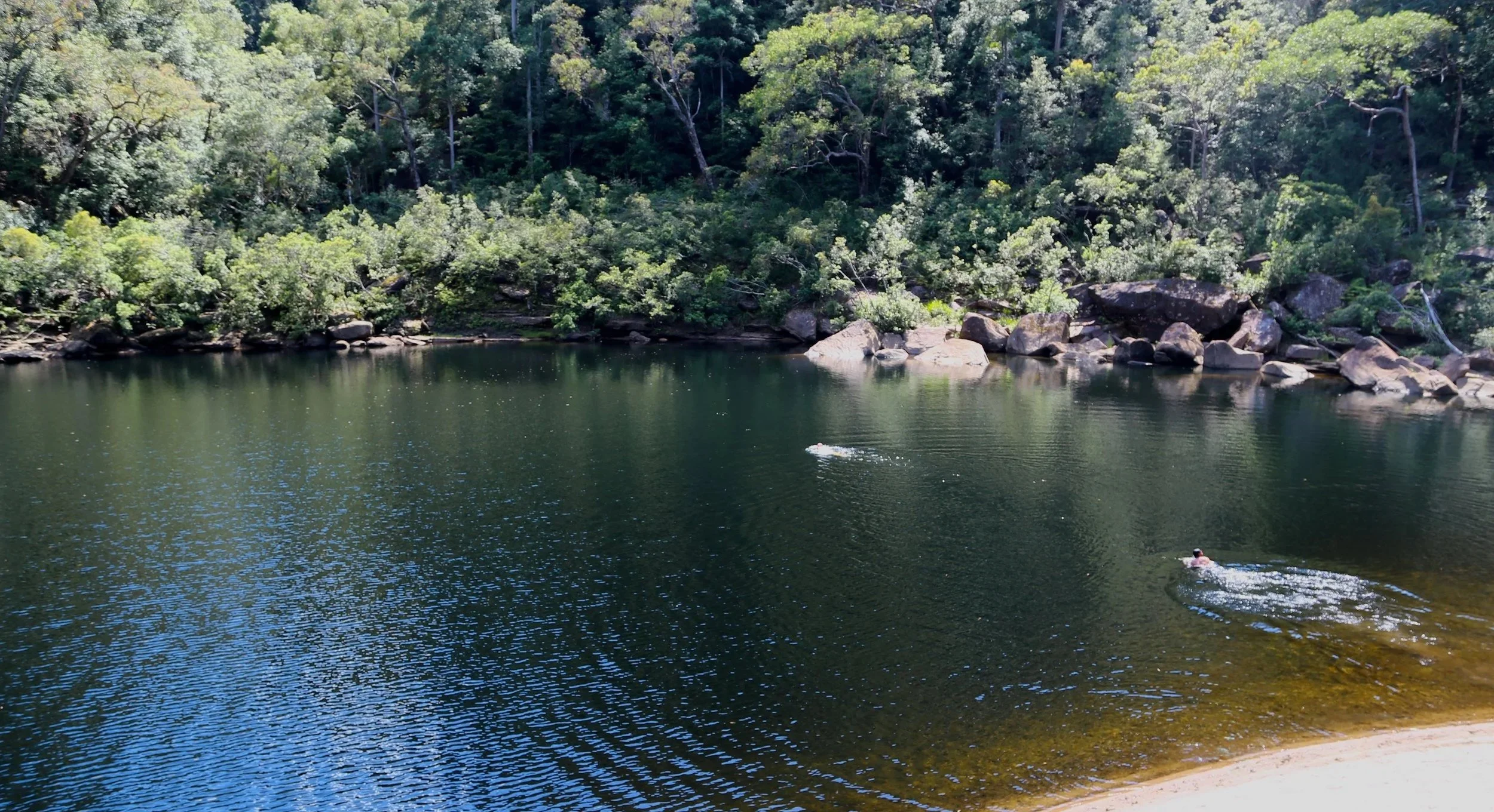
An enormous pool on the Grose River, with sandy banks and forested slopes beyond.
-
Date: October 2026
Distance: 17.7 km
Route breakdown: Fire trail 13.7 km; off-track descent 1.5 km; river traverse 1.0 km; established ascent 1.5 km.
Elevation gain: Approximately 450 m
Grade: 5 — off-track navigation, steep descents, cliff hazards and rough river travel.
Alternative walk: Grade 4 (approx.) — Fire trail and established track to the second pool, avoiding the off-track sections but missing the magnificent first pool.
Trip context: Sydney Bush Walkers day walk, led by John Kennett
Locations: Faulconbridge Ridge, Big Bend Spur, Grose River, Blue Mountains National Park, NSW
Map: NSW Topographic 1:25,000: Springwood / Kurrajong
Conditions: Warm, sunny late-spring day; hot and demanding ascent from the Grose River
Notable features: Big Bend Spur, Grose Gorge, Grose River swimming pools, sandy riverbanks, sandstone overhangs, river traverse, Faulconbridge Point Lookout
Photography: Copyright Sandstone Symphony, October 2026
There were no great expectations for this walk. I had been browsing the Sydney Bush Walkers calendar when Big Bend Spur caught my eye. The date suited, the location convenient, and the route promised a descent to the Grose River, some river travel and a climb back out. It sounded pleasant enough.
John Kennett led a quietly friendly group of strong walkers. The six-kilometre approach along Faulconbridge Ridge Trail gave us plenty of time to become acquainted. The trail itself contributed little to conversation.
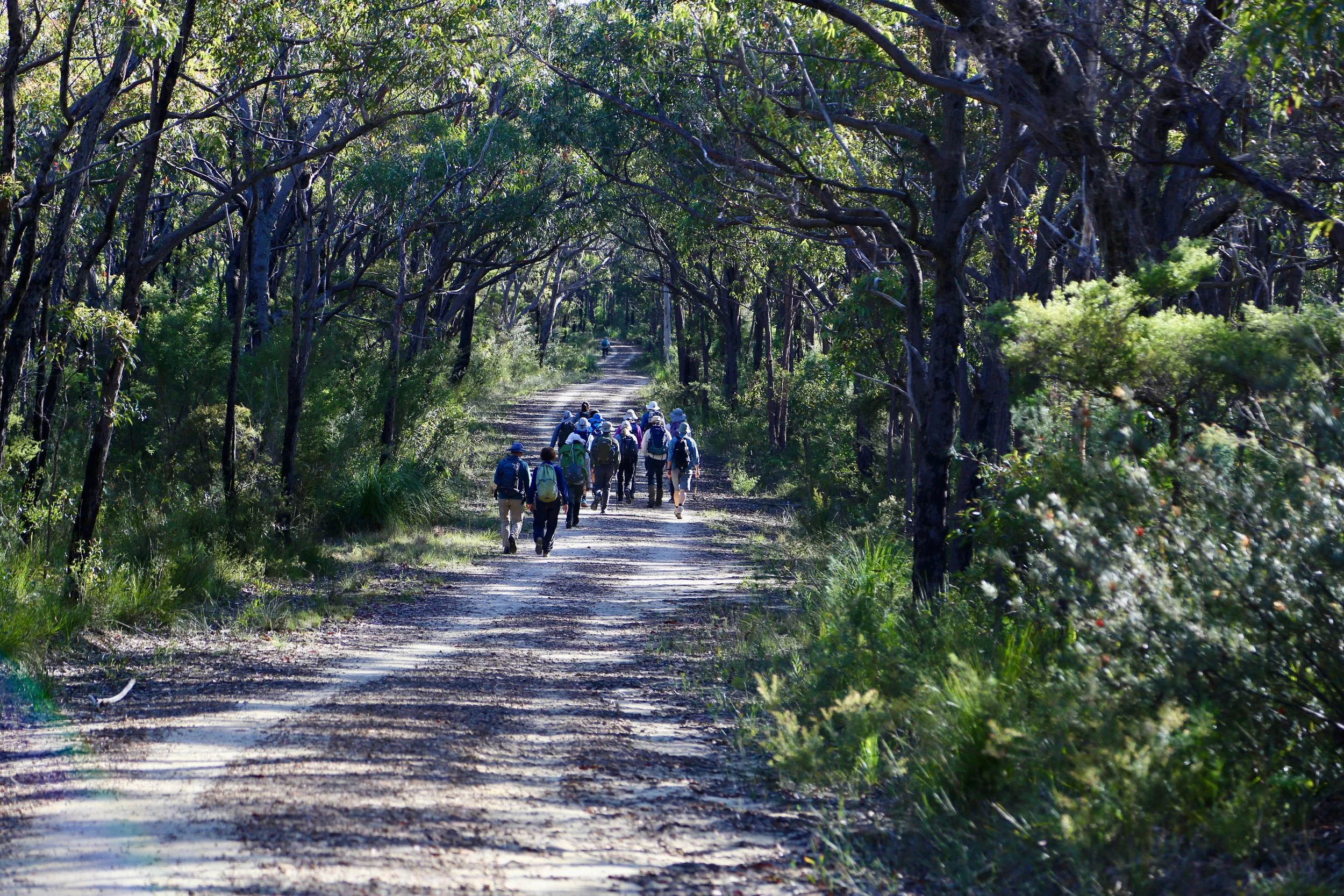
The long approach along Faulconbridge Ridge Trail.
Leaving the ridge
Leaving the trail at around 400 metres elevation, we followed Big Bend Spur towards the Grose, some 350 metres below.
The forest was surprisingly open. Grass trees and scattered shrubs grew beneath the eucalypts, with little of the thick post-fire regrowth that can make off-track walking such a struggle. There were signs of past fire, but much of the woodland remained in good condition.
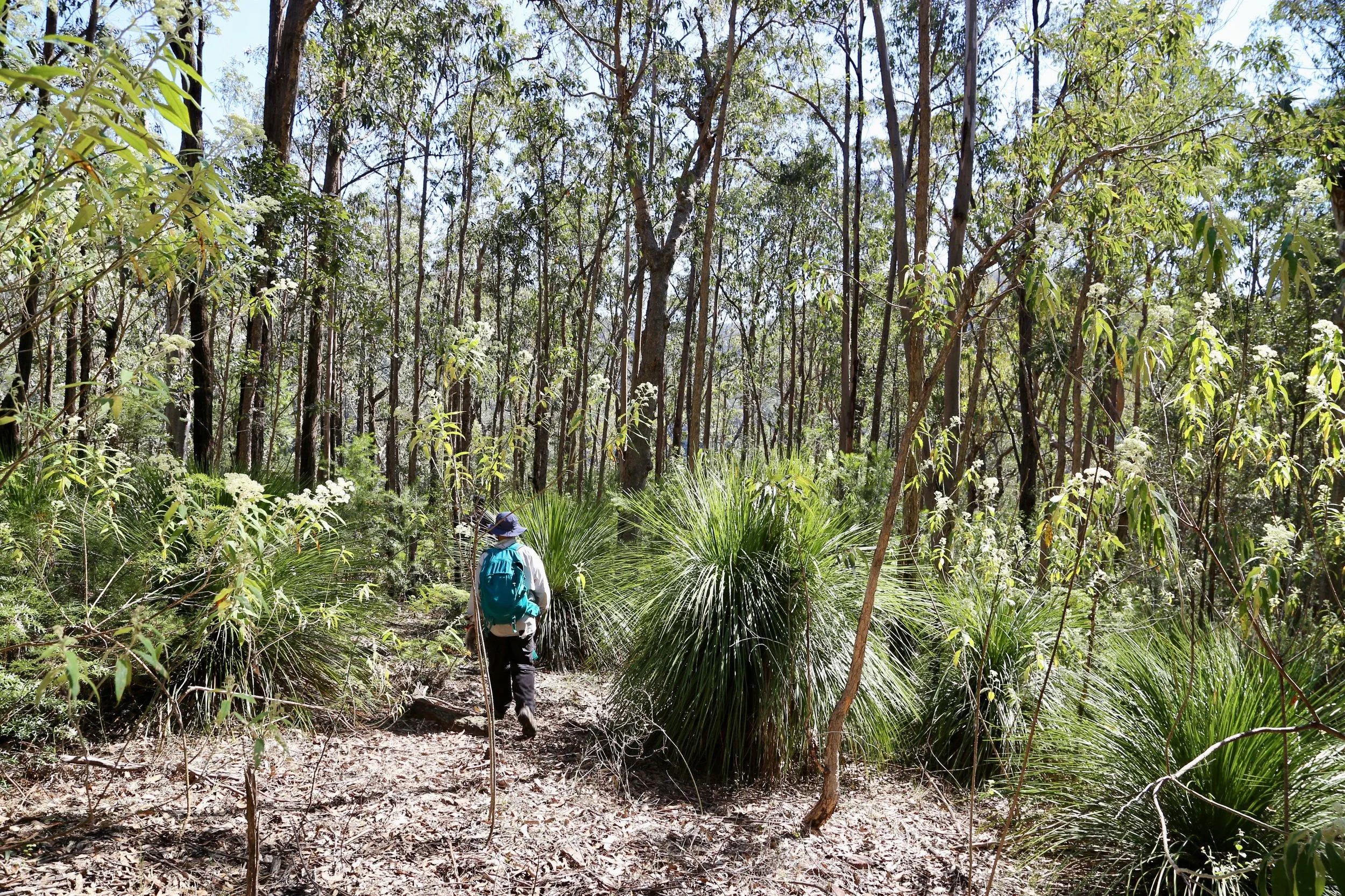
Open woodland and grass trees on Big Bend Spur.
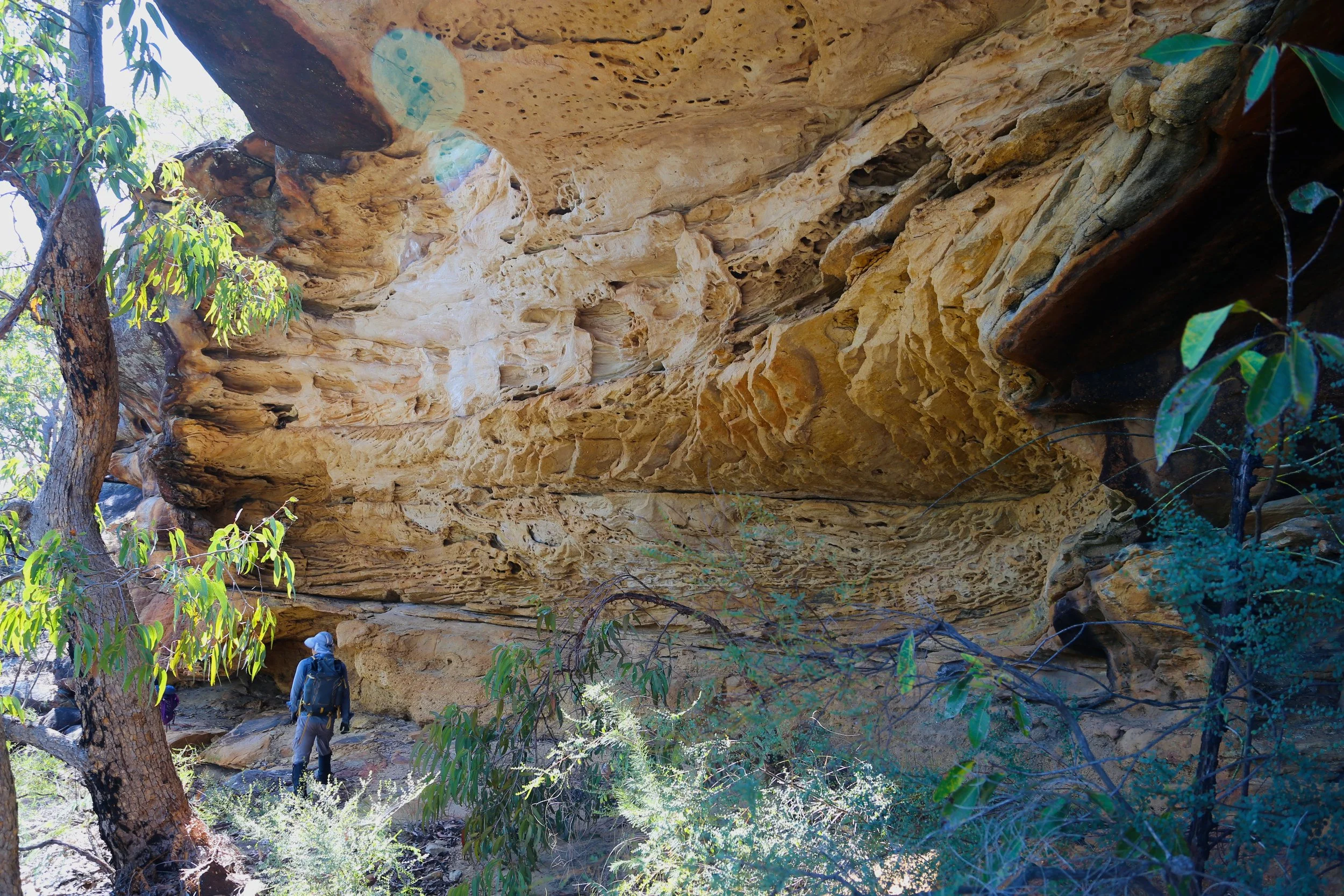
The first sandstone cliff line required a gap to get through. Nearby, two substantial overhangs demanded the customary inspection. Barely 50 metres apart, they were quite different: one broad and intricately honeycombed, the other with a deep, rounded recess beneath the sandstone.
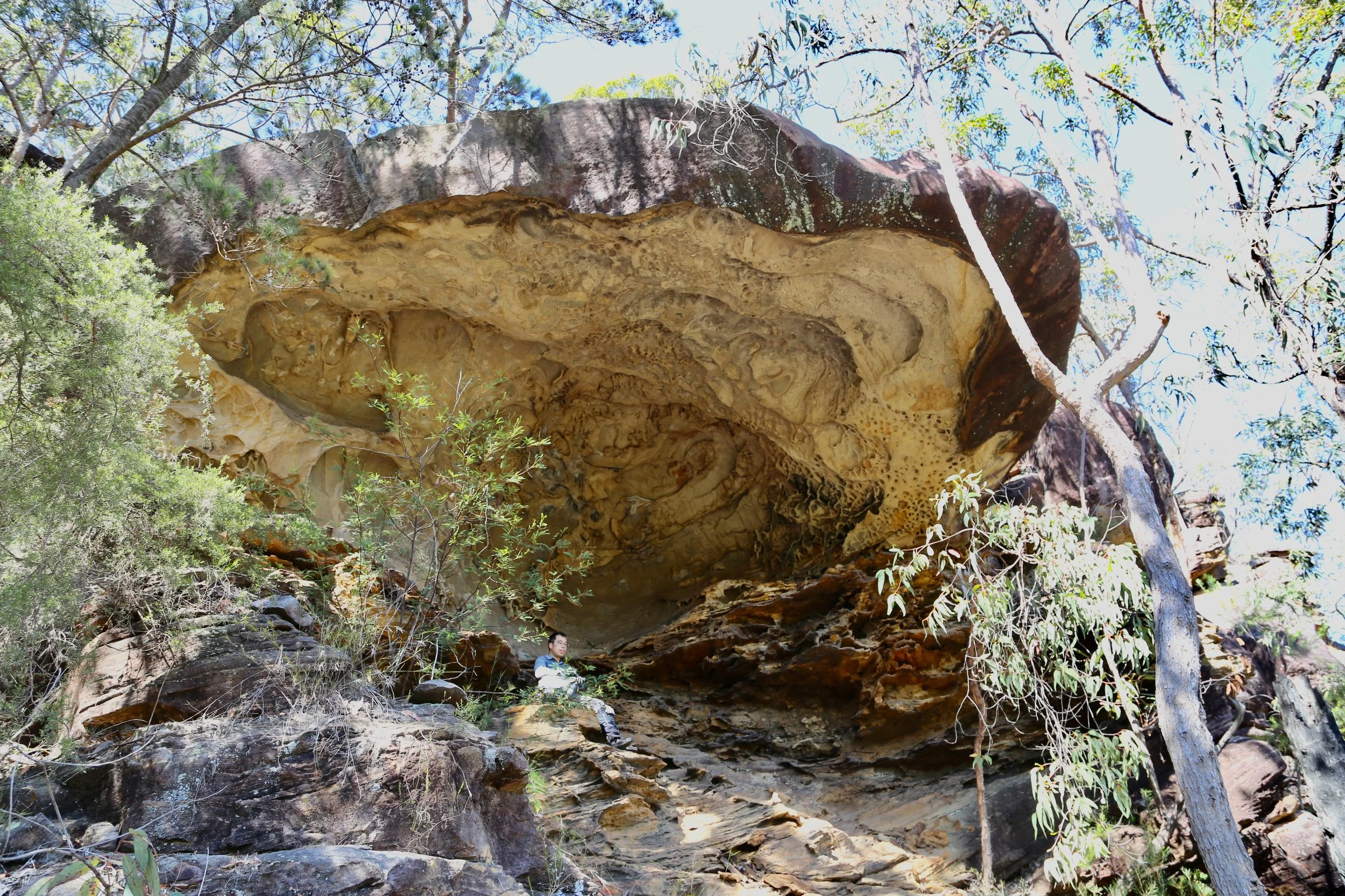
The spur continued through enjoyable forest, occasionally approaching a cliff line that was surprisingly easy to overlook from above. Short excursions onto the rock offered views across the surrounding ridges and the wooded depths of the Grose Valley.
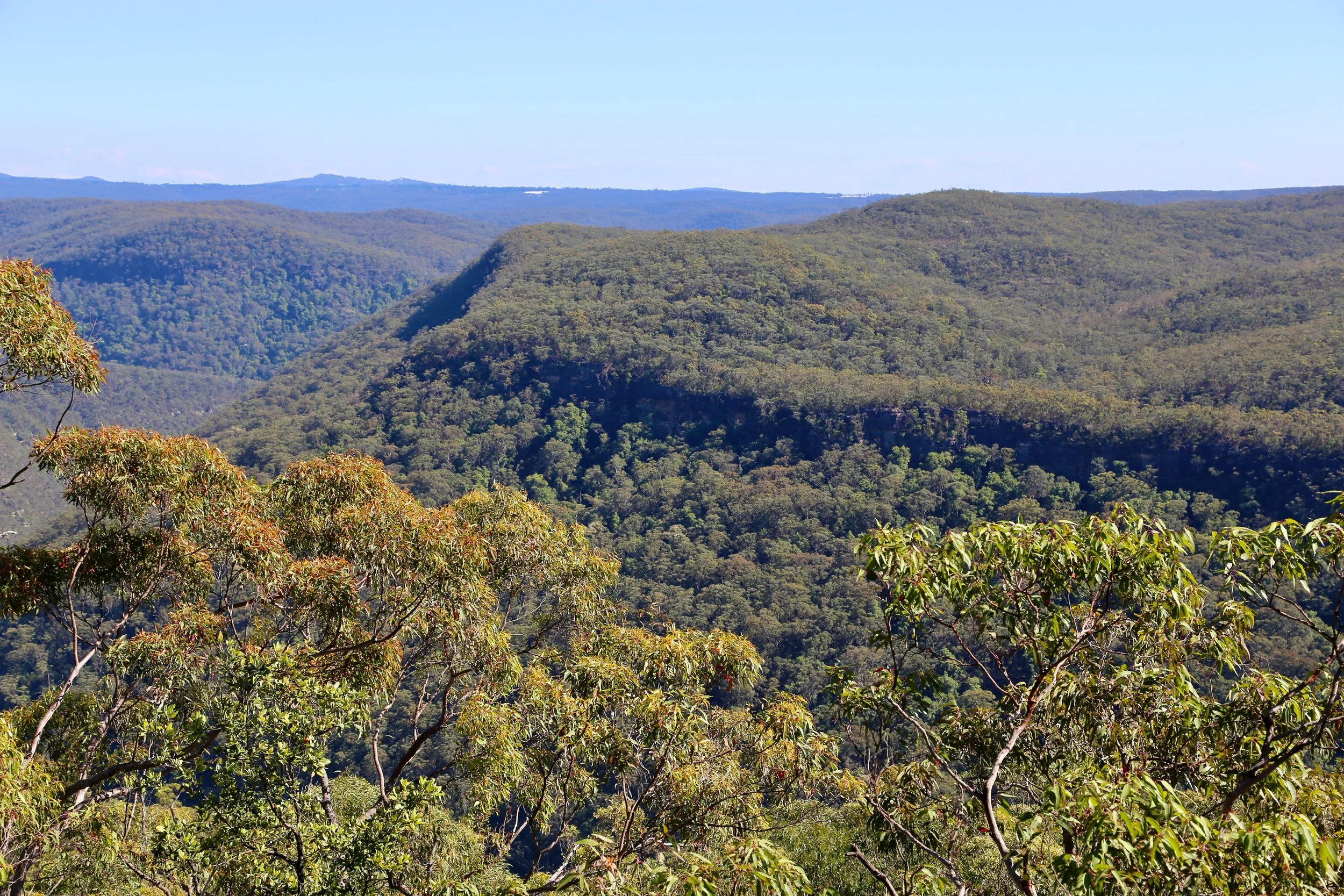
Forested ridges and sandstone cliffs above the Grose Valley.
Lower down, the ground steepened sharply. Loose leaves made footing uncertain, and there were stretches where sliding was more practical than walking. Short cliffs near the foot of the spur required some care.
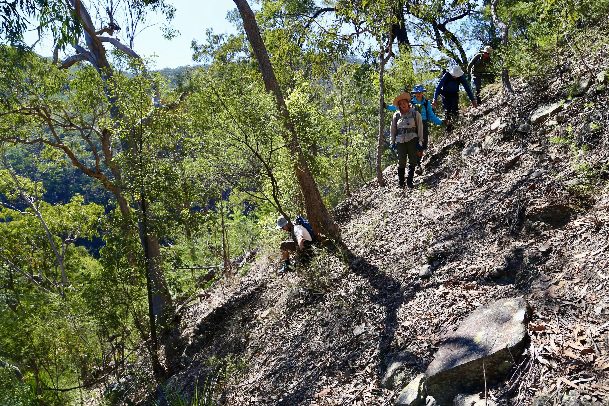
Loose leaves and steep ground make for an awkward descent.
Big Bend
Through the trees came the first glimpse of water. Big Bend Spur delivered us directly to an enormous pool on the Grose River.
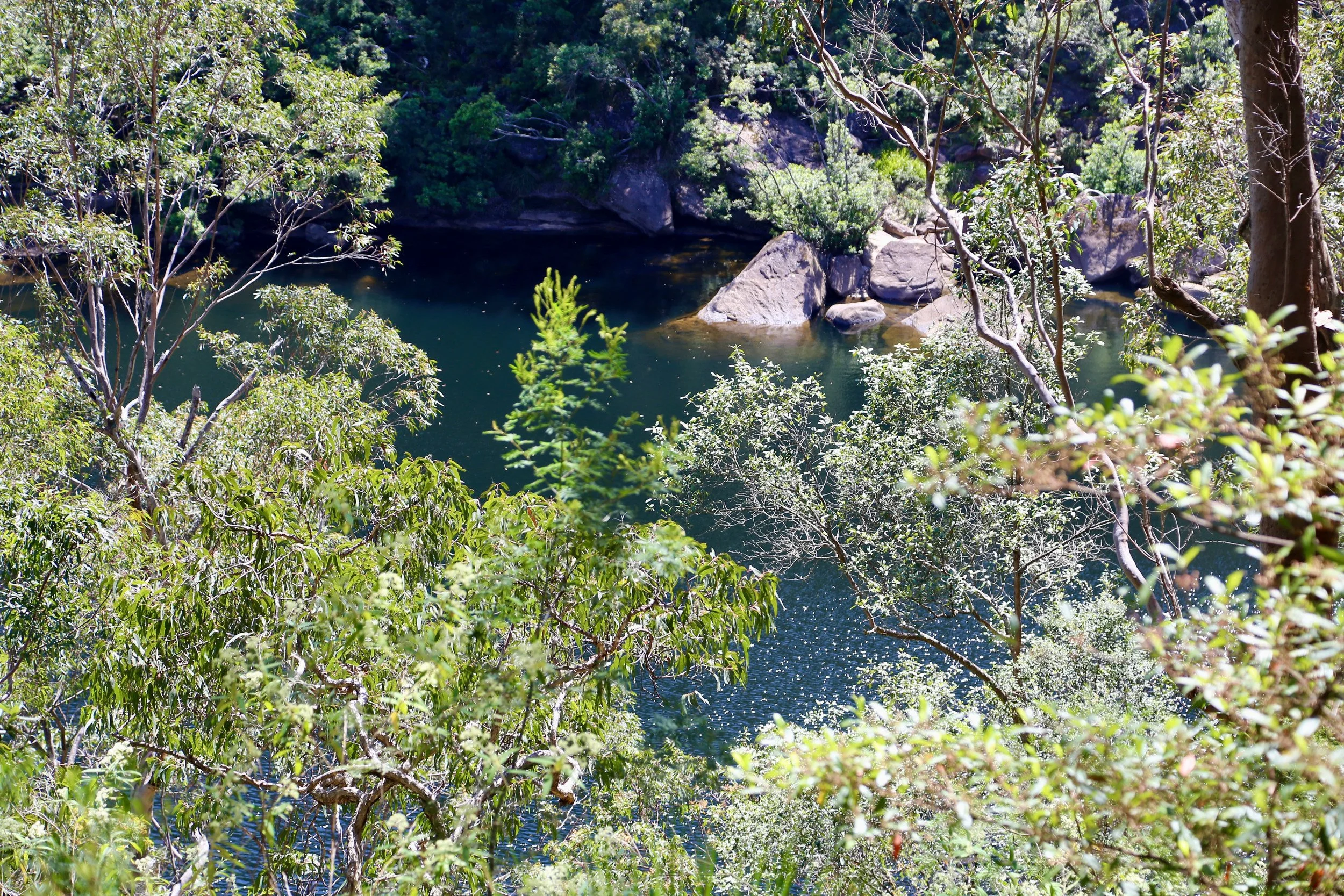
The first glimpse of the pool through the trees.
Almost 200 metres long and 50 metres wide, it lay beneath steep, densely forested slopes. The water was a deep green, with boulders scattered along the far bank. Broad sandy margins edged the pool, forming what several of the walkers quite reasonably called a beach.
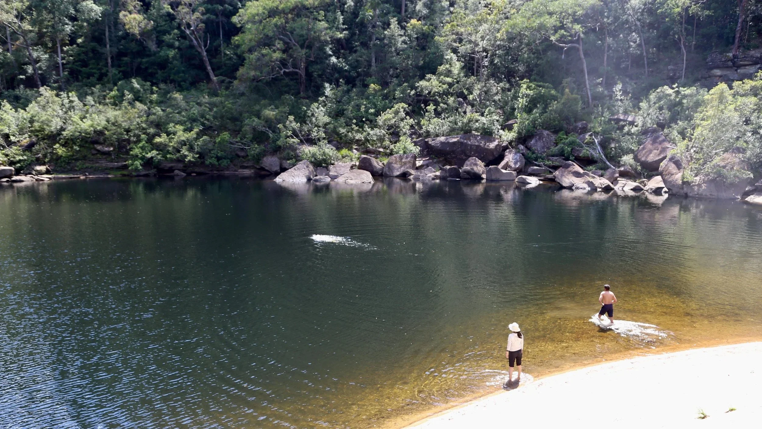
The first pool stretches across a broad basin beneath the forested slopes.
This was not the better-known swimming hole reached by the established track further downstream. We would visit that soon enough. For now, we had arrived at a place that felt remarkably remote.
The day had become warm, and the water was irresistible. At about 50 metres above sea level, it was pleasantly temperate rather than the icy shock sometimes encountered in higher Blue Mountains streams. Comfortable enough to linger, swim and play about in the water without any rush to get out.
Only a few of us swam right across. I reached the far side, found a large rock in the sun and sat there for a while.
The pool stretched out below the surrounding forest, the hills rising steeply on every side. I had the rock to myself, with nothing to do but look around and take it all in. It was simply marvellous.
And to think I'd joined the walk largely because it happened to be convenient.
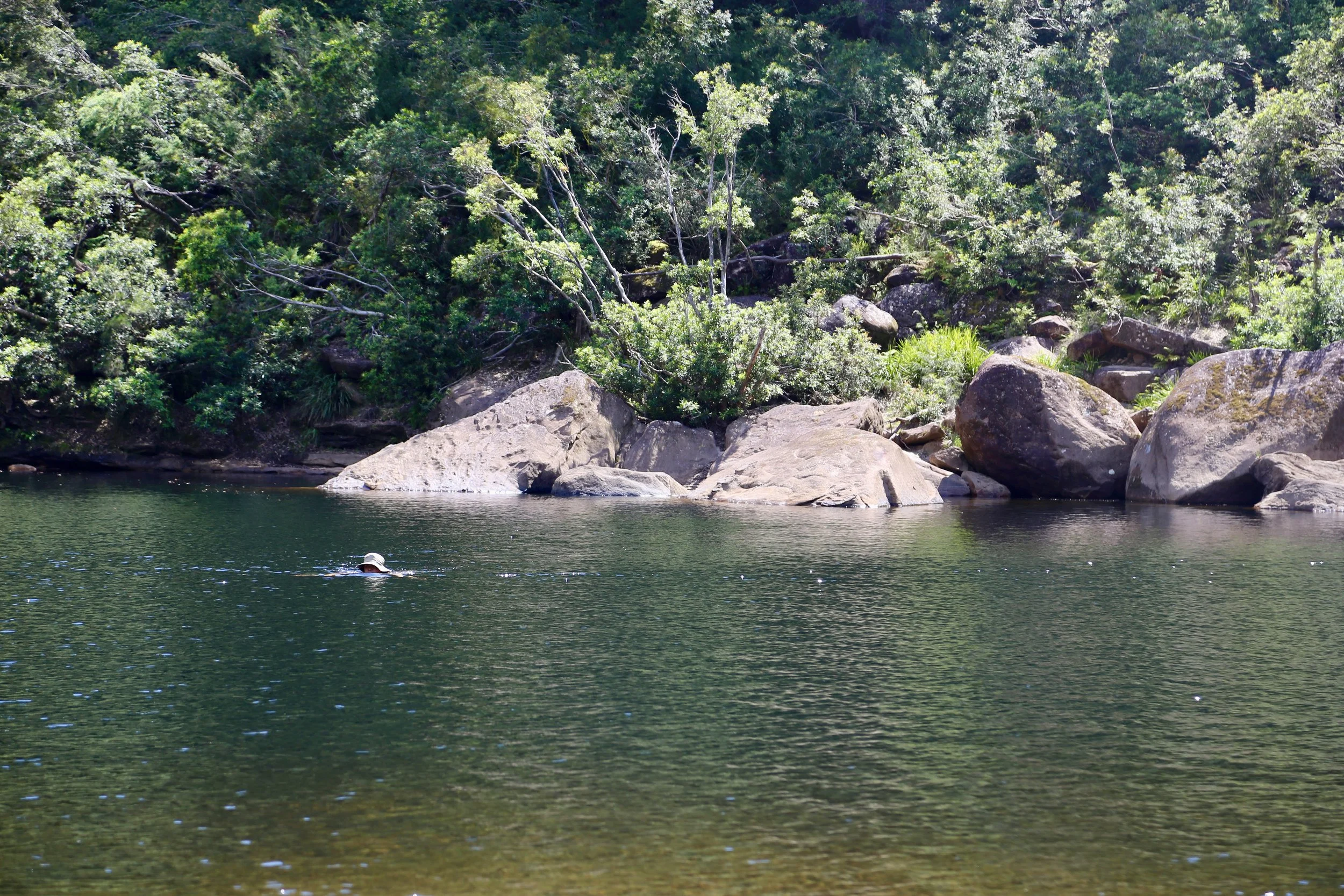
Swimming across the broad, dark waters of the first pool.
Following the Grose
From the first pool, the route followed the Grose downstream for about a kilometre to a second swimming hole, where an established track climbed out of the valley.
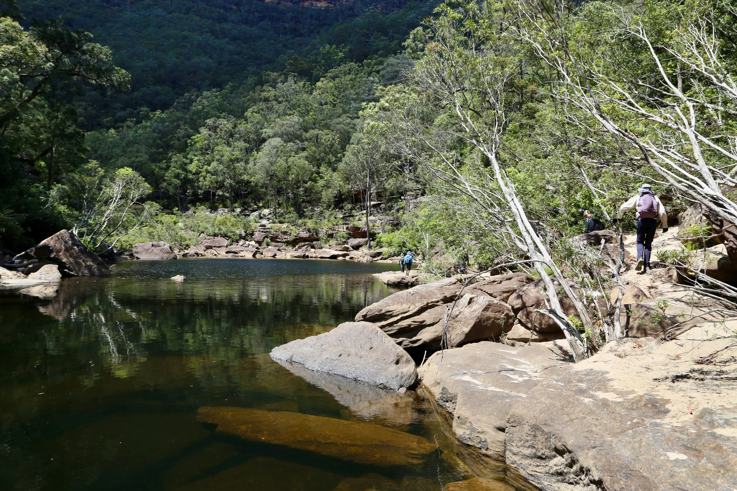
The river was clear, running between sandstone boulders and occasional fallen trees. At first the going was awkward, with much climbing over rocks and searching for a way through.
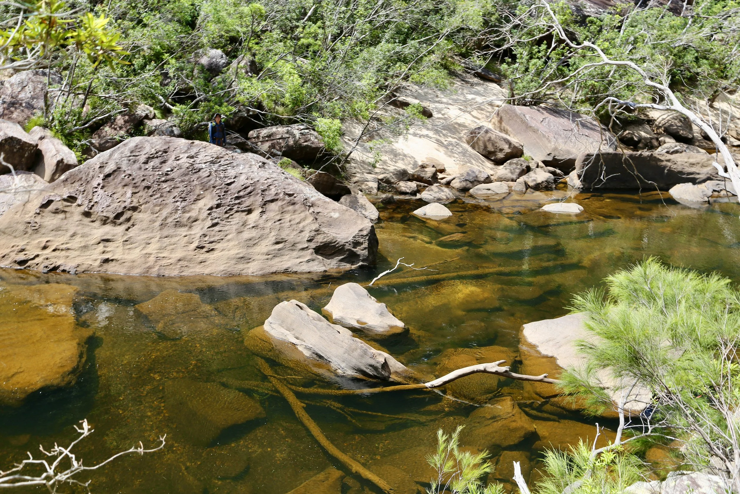
Clear water and large sandstone boulders along the Grose. Can you see Bernard?
A better line soon emerged beneath the cliffs, ten to twenty metres above the water. It was easier walking than the boulder-strewn banks, though still rough in places.
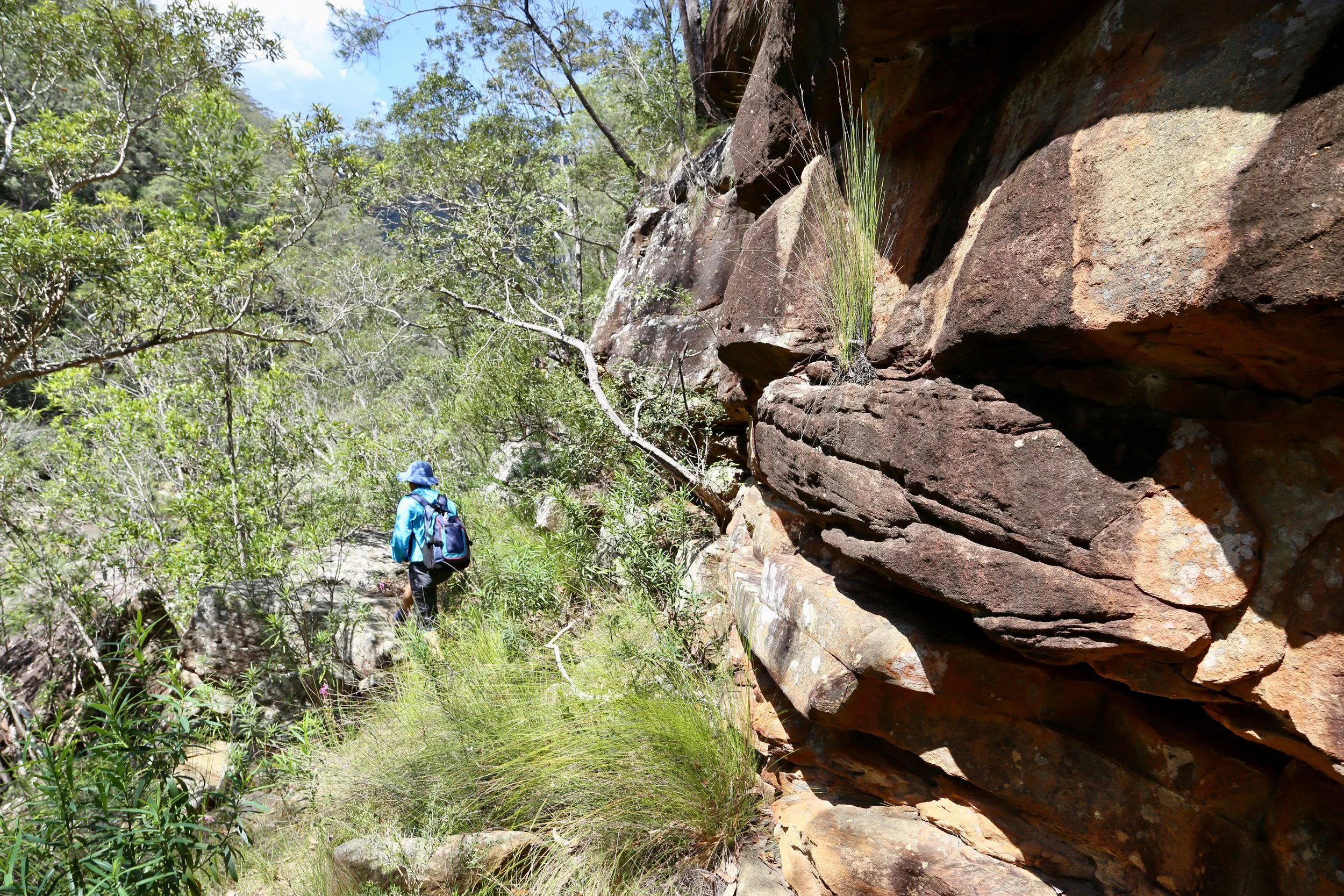
Traversing beneath the sandstone cliffs, high above the river.
Bernard had another solution. While the rest of us negotiated rocks and scrub, he swam substantial stretches of the river. I admired his ingenuity, but harboured some concern for his sandwiches.
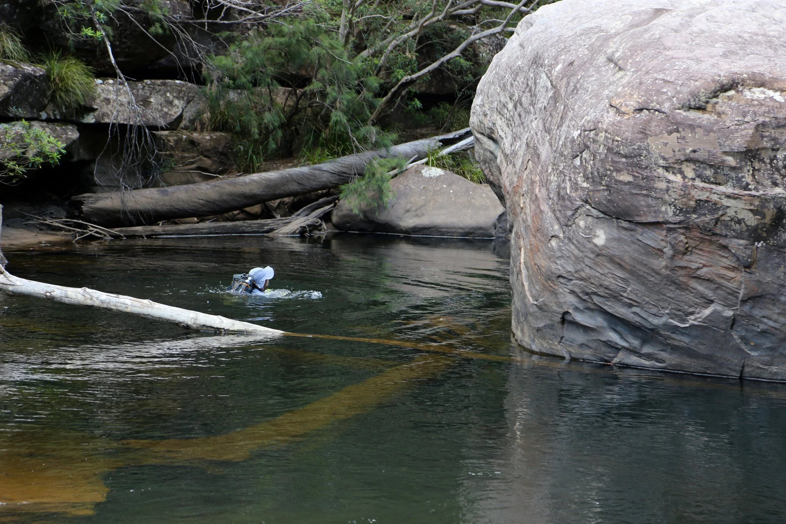
Bernard takes the aquatic route downstream.
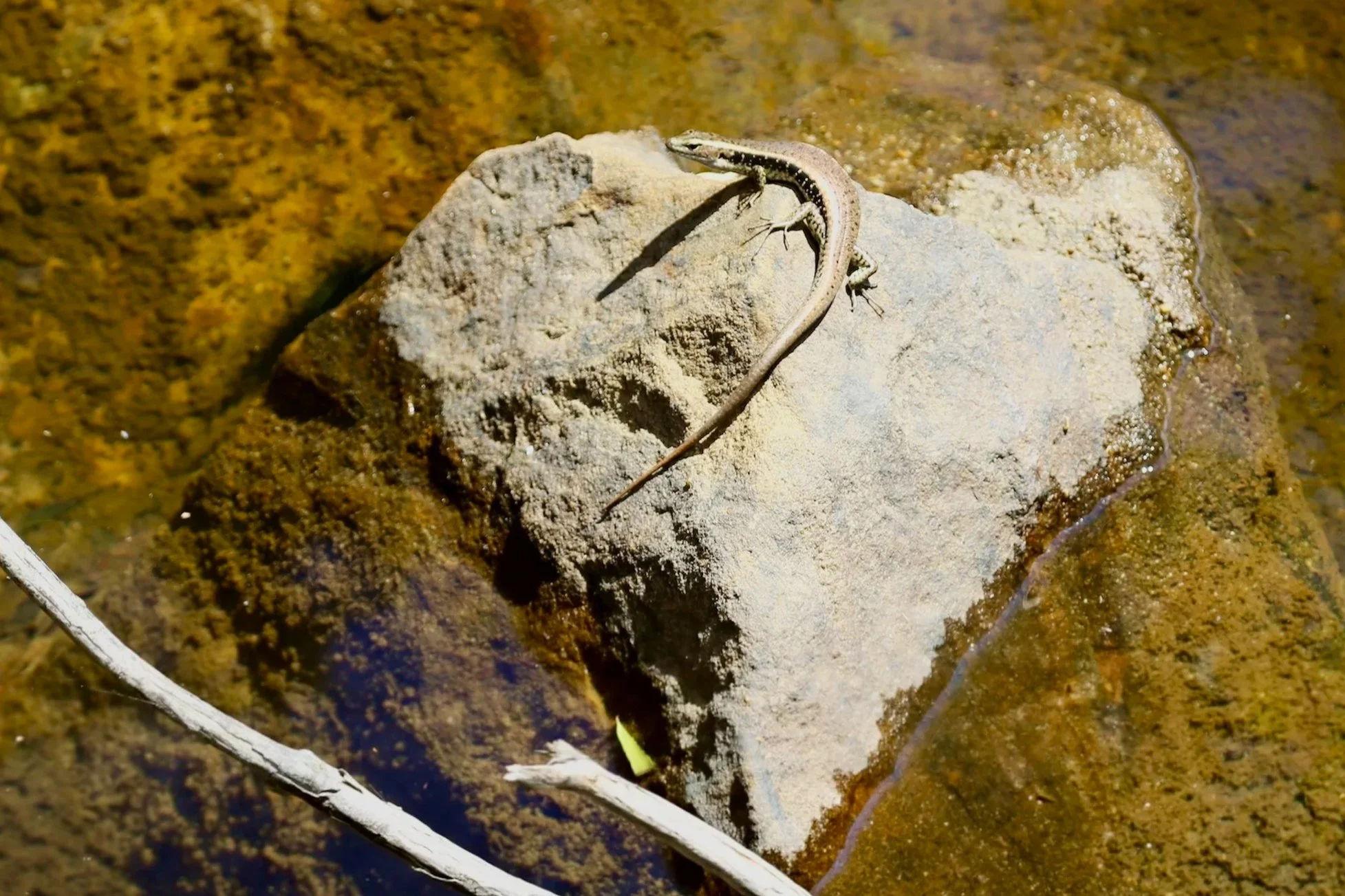
The river was beautiful throughout this section. Sunlight penetrated the clear water, illuminating submerged sandstone in shades of amber and gold. A small skink basking on a rock provided a brief distraction.
An unhurried afternoon
After roughly a kilometre of downstream travel, we arrived at the second big pool.
This pool was longer and narrower than the first. It occupied a more confined section of the river, with steeper sides and sandstone shelves overlooking the water.
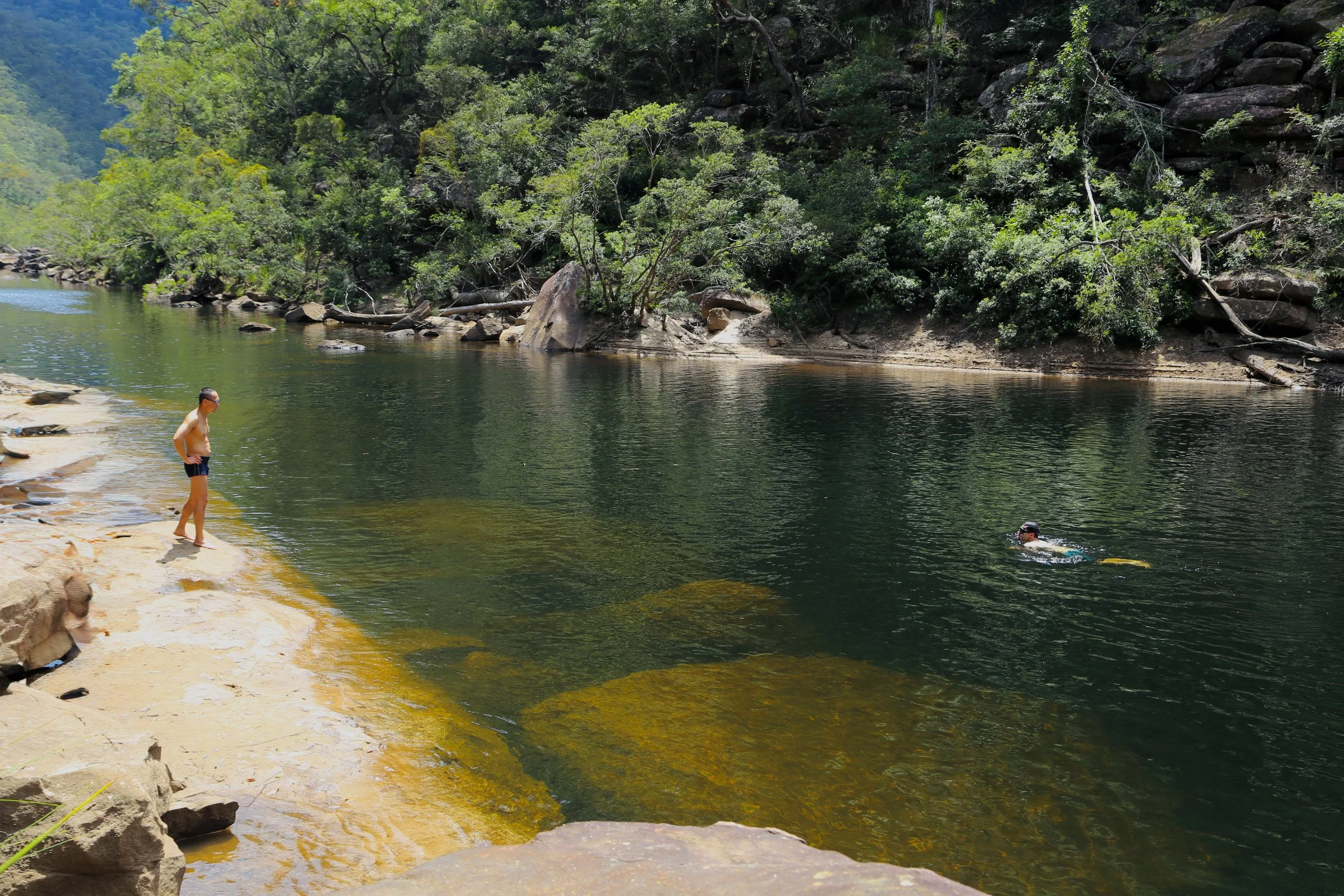
The second swimming pool, with its sandstone shelves and clear green water.
We were making good time, so lunch stretched to more than an hour. There was more swimming, plenty of sunshine and no particular hurry to leave.
It was a leisurely afternoon by bushwalking standards, especially with a substantial climb still ahead.
The climb out
From the second pool, the established Grose River Walking Track climbed approximately 380 metres back to Faulconbridge Ridge.
The track was steep from the outset, with rocky sections and a couple of ladders that had been brought down. Elsewhere, tall eucalypts rose above ferns and lush undergrowth, with occasional sheltered patches taking on an almost rainforest character.
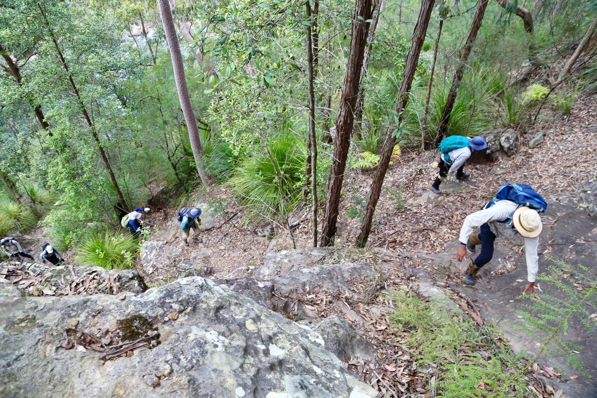
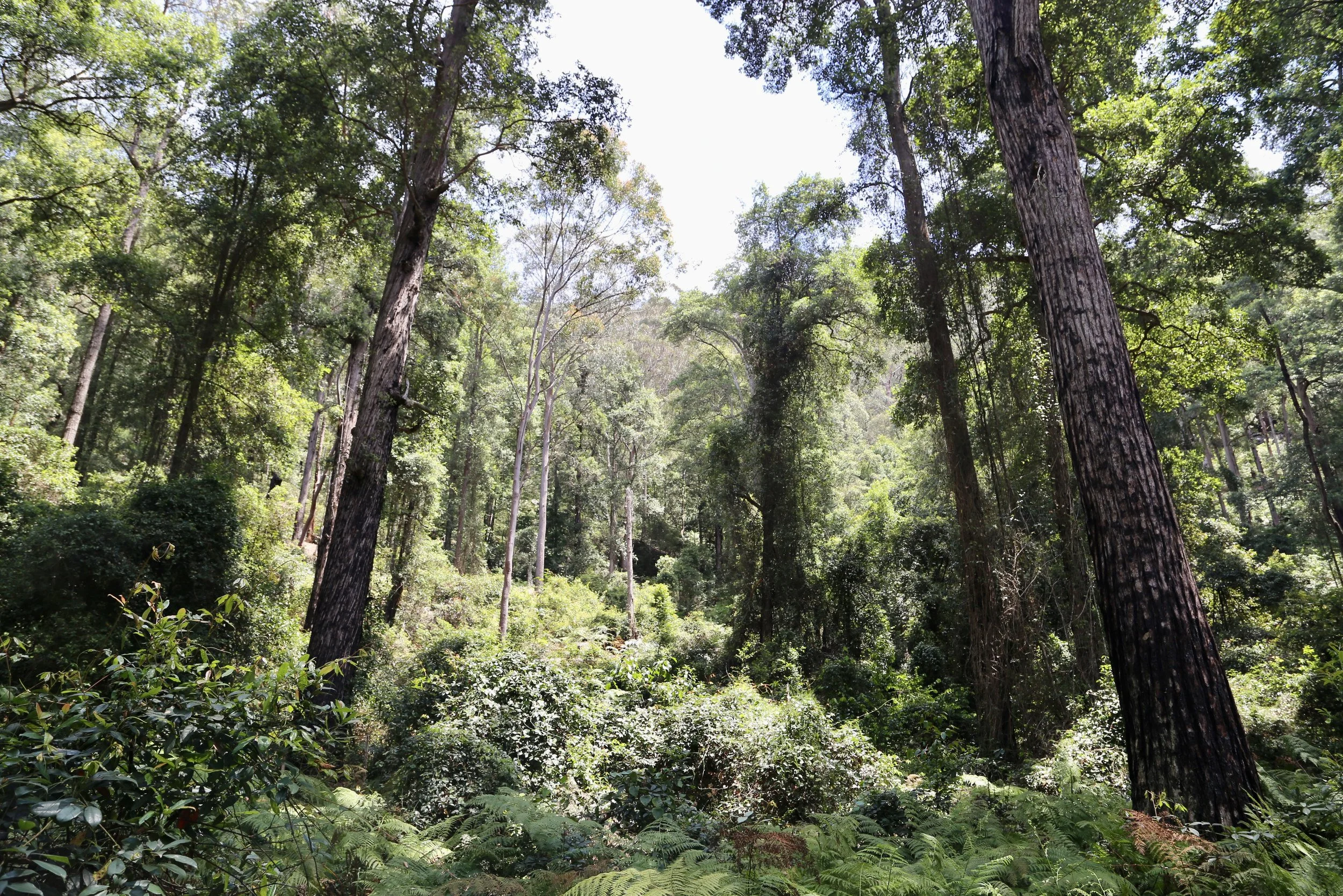
The combination of a warm late-spring afternoon and a sustained climb made it hard work. The long, relaxed stop beside the river seemed rather distant as the track continued upwards.
Eventually the gradient eased and we reached the ridge.
Most of the party headed back towards the cars, but three of us continued to Faulconbridge Point. The lookout hadn’t been part of the official walk, and I was pleased we’d made the detour.
The valley from above
The lookout provided a magnificent conclusion to the day. From the broad sandstone platform, the Grose Valley opened in an immense sweep of wooded slopes and intersecting ridges. Looking up the valley, the river wound between steep forested hills, appearing as a slender ribbon far below.
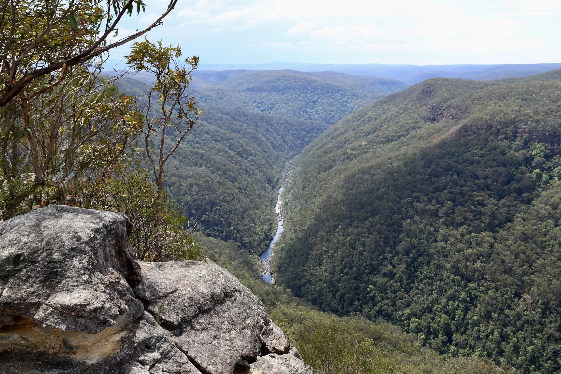
The Grose Valley from Faulconbridge Point, with the river winding between steep forested slopes.
Looking east, we could also make out the first great pool at the foot of Big Bend Spur.
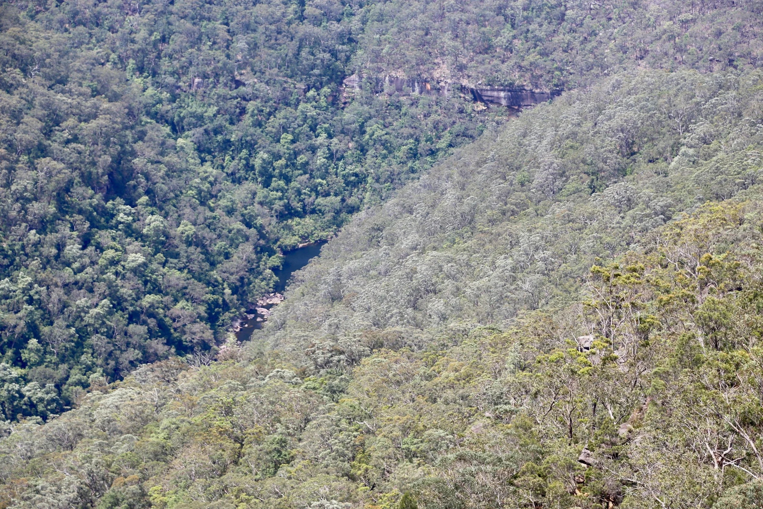
The first pool, now a distant patch of water far below the lookout.
From this height it was merely a dark patch of water, almost lost among the forested slopes. A few hours earlier I'd been swimming across it, then sitting alone on a sun-warmed rock, taking in the beauty of the place.
It was a last look down into the valley before turning towards the long walk back along Faulconbridge Ridge Trail.
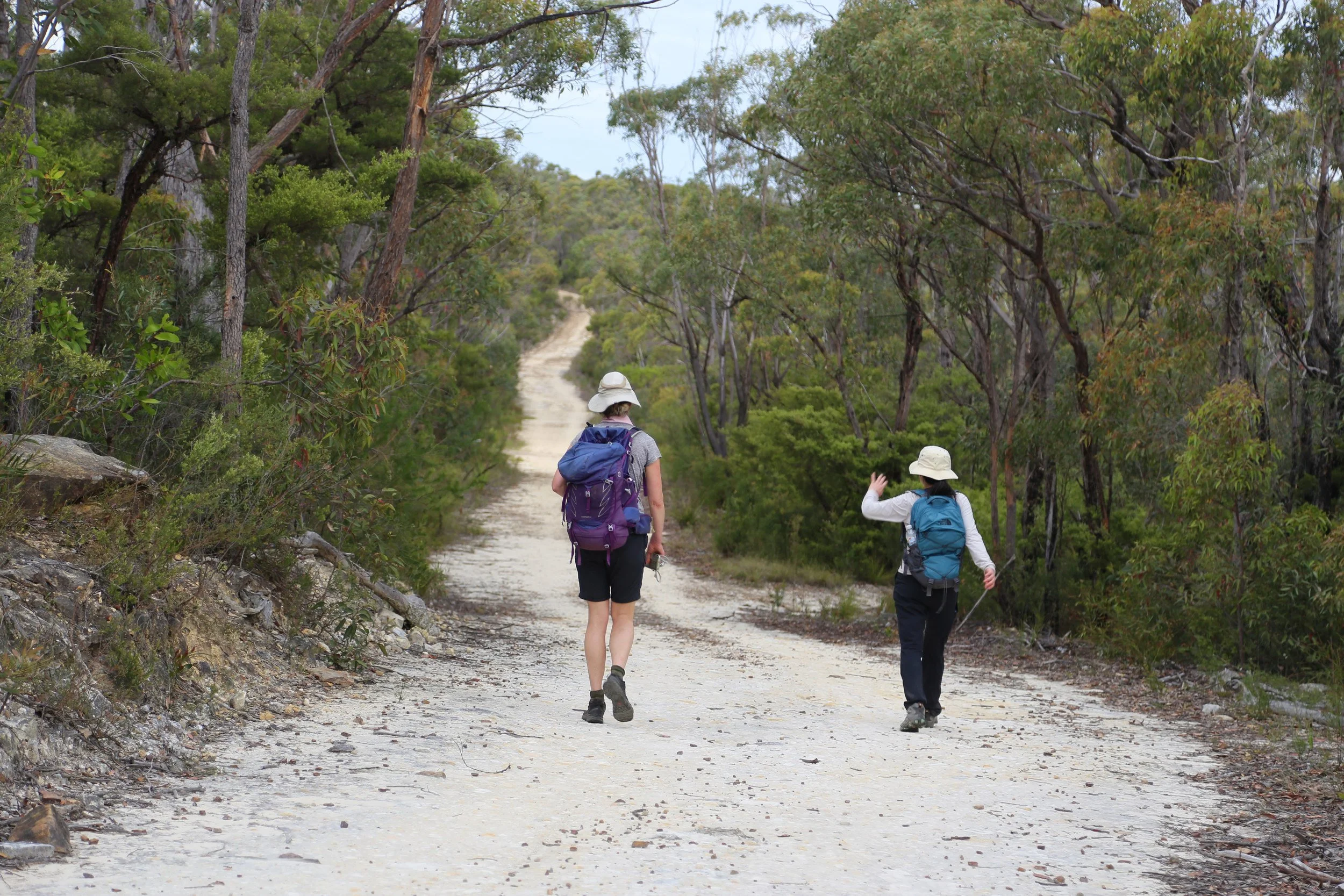
The long return along Faulconbridge Ridge Trail.
3D Aerial Map
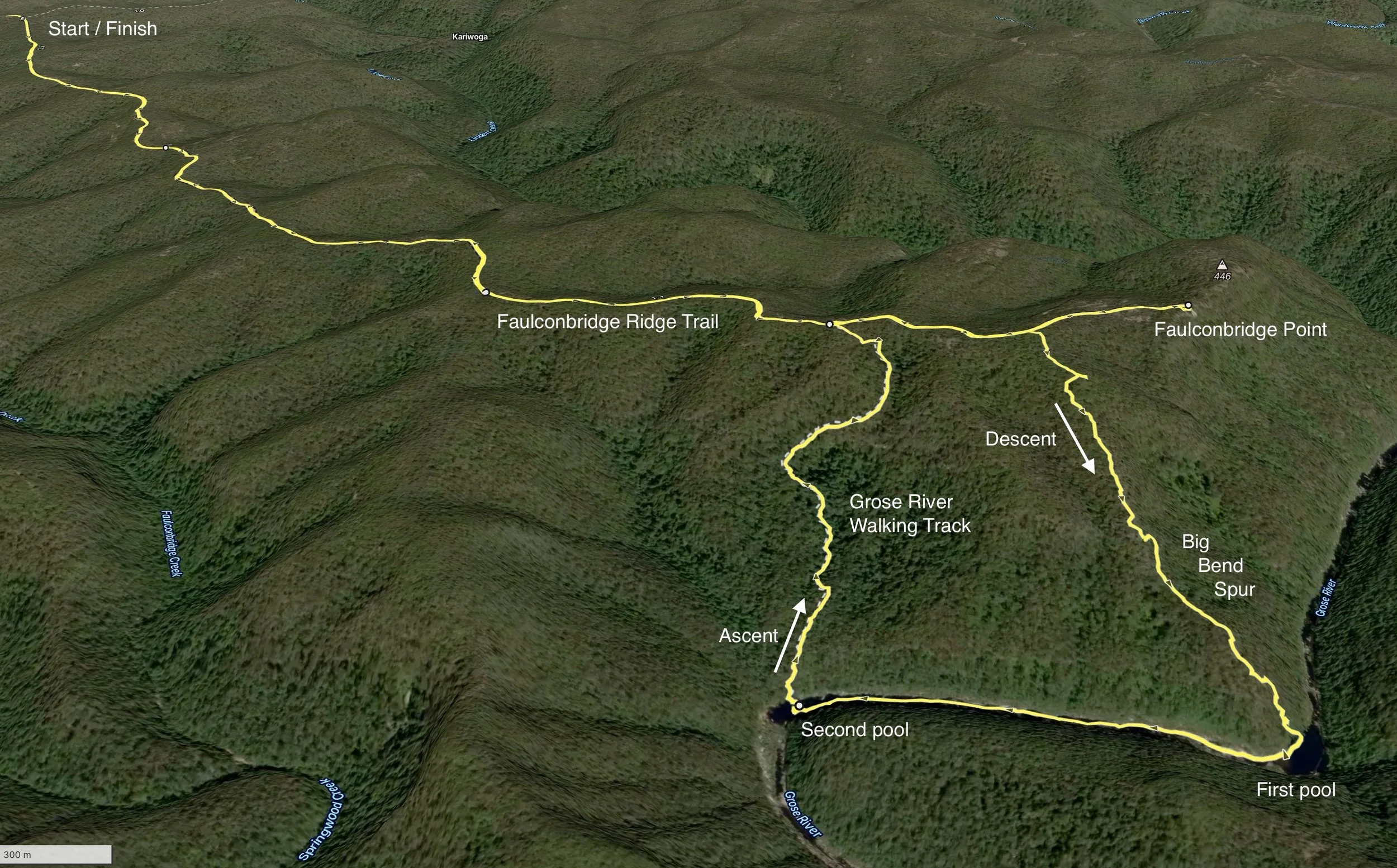
Big Bend Spur and the Grose River — route and labels by Sandstone Symphony. 3D route view from Gaia GPS. Imagery © Mapbox.
Contour Study
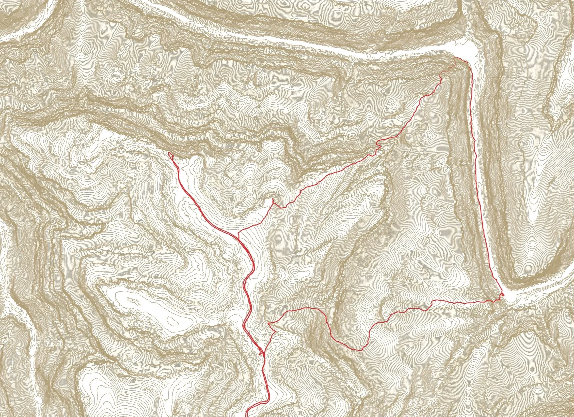
Two-metre contours reveal the steep terrain surrounding Big Bend Spur and the Grose River.