Southern Yodellers Range
Rugged and remote, the astonishing Yodellers run like a giant dragon’s spine through the northern Wollemi. The range is rarely visited and provides some of the most adventurous bushwalking in Australia.
Led by Yuri Bolotin, this 2 day walk found a route across the southern section, and provided spectacular views of the mad shapes of the northern Yodellers.
-
Date walked: March 2025 (2 days)
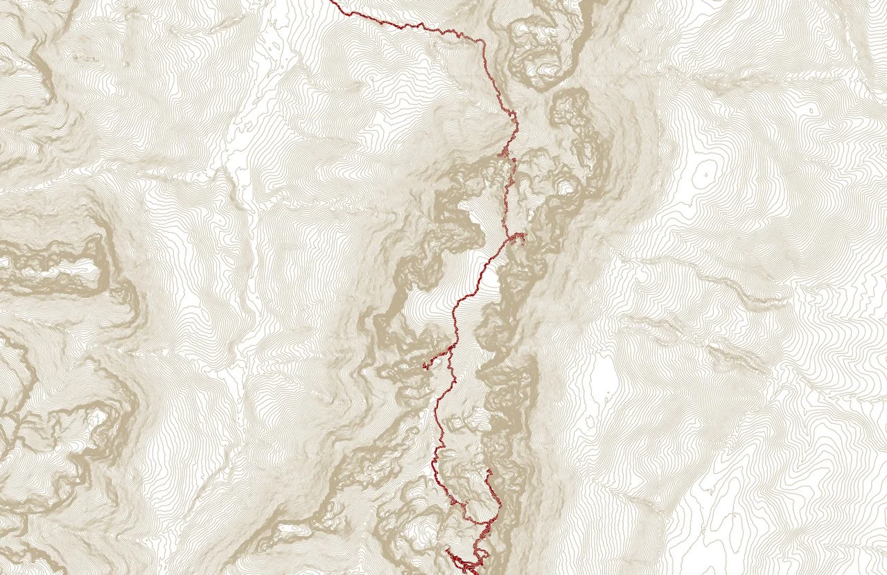
Kilometres: 12.2 km
Elevation gain: 980 m
Maps: NSW Topographic 1:25,000: Widden
Location: Yodellers Range, Wollemi National Park
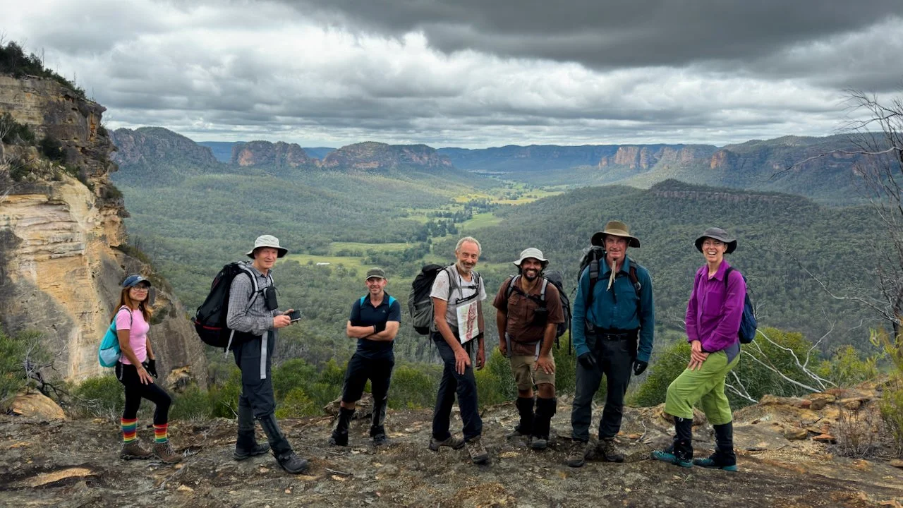
Party: Yuri (leader), Kevin (co-leader), Anton, Susan, Kirsty, Oliver, Jose, Gary (8)
Note: Prior permission for private property access strictly required.
All photos Copyright and by Sandstone Symphony unless otherwise noted.
In the remote north-western reaches of Wollemi National Park, a broken line of sandstone peaks rises above vast valleys. This is the Yodellers Range. Wild country — seldom visited, difficult to reach, and even harder to cross.
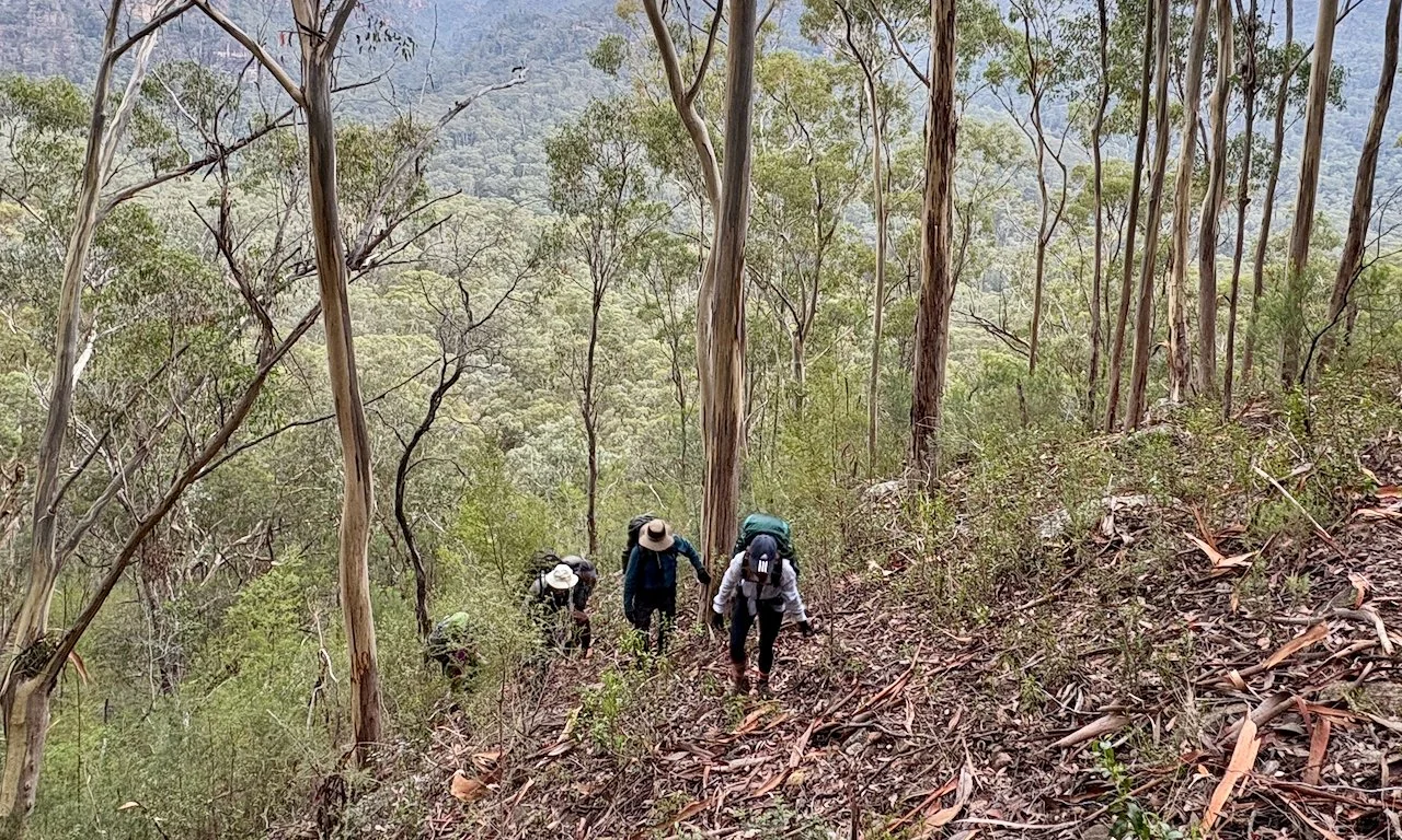
In the heavy heat of late summer, our small party led by Yuri Bolotin set out on a two-day traverse of the rugged southern part of the range. From camp in Myrtle Creek Valley, the walk began with a punishing 400-metre climb to find a way through the cliffs to the ridge.
Ahead lay a serrated skyline where deep notches split the peaks, forcing careful descents and scrambles between them. With temperatures pushing towards 28 degrees and humidity lingering in the air, progress was slow and demanding.
Yet the ridge revealed space. From its narrow spine the country opened in sweeping arcs — across the broad sweep of Emu Creek Valley, to the distant folds of the north-east Yodellers, the sandstone ramparts of the Pomany Range beyond.
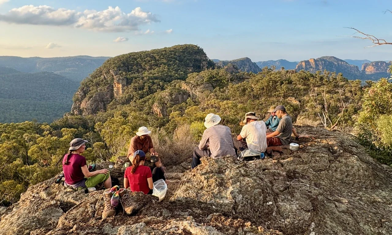
By mid-afternoon we reached our high camp, complete with a remarkable natural sandstone “dining room” perched on the ridge. As we ate, the range revealed its gentler side — long golden light spilling across the sandstone and the immense stillness settling over the Wollemi as evening approaches.
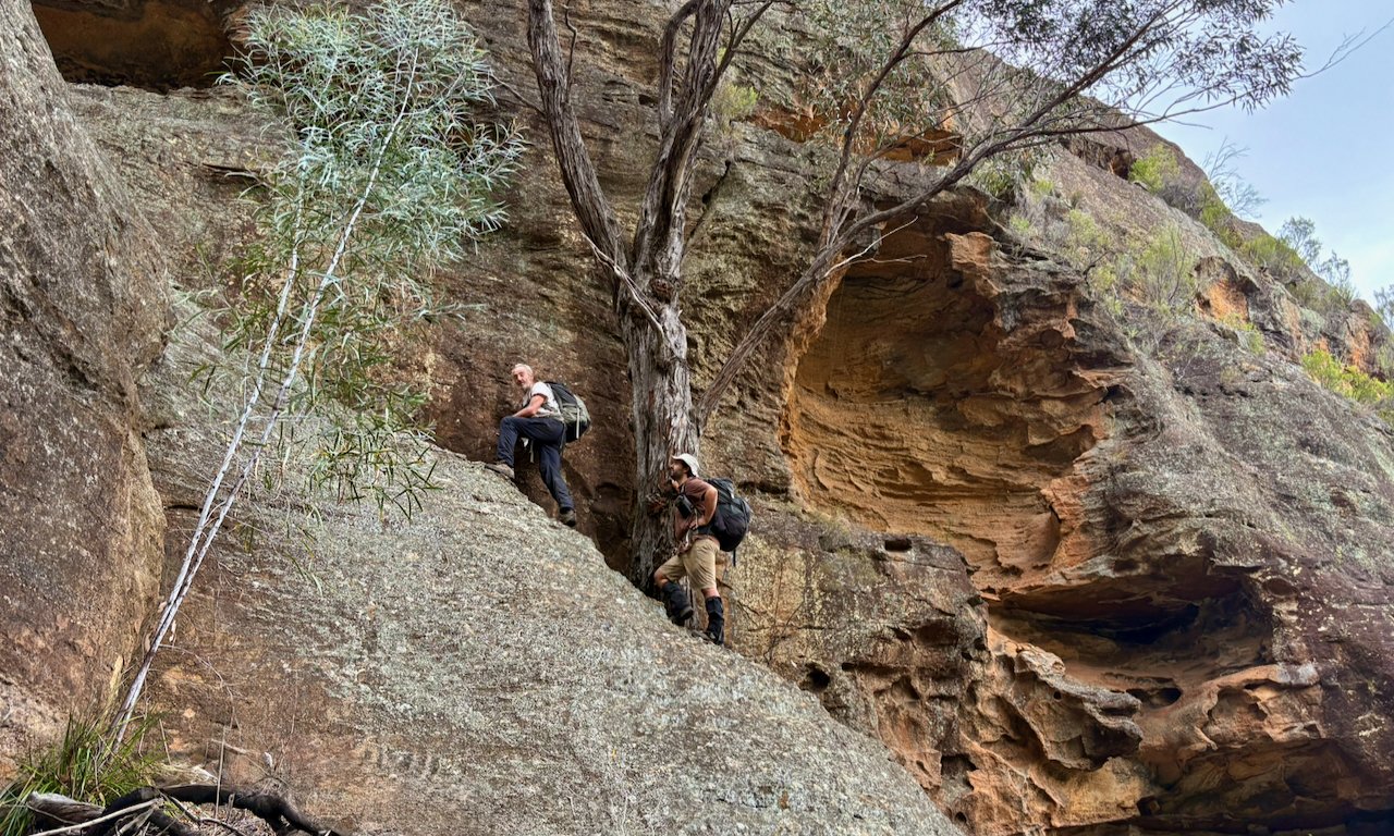
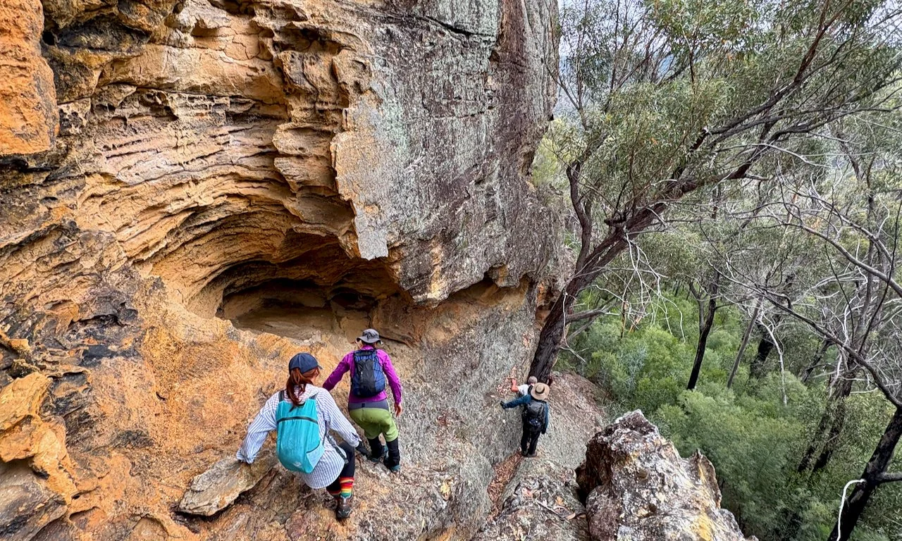
Climbing to the base of the cliffline
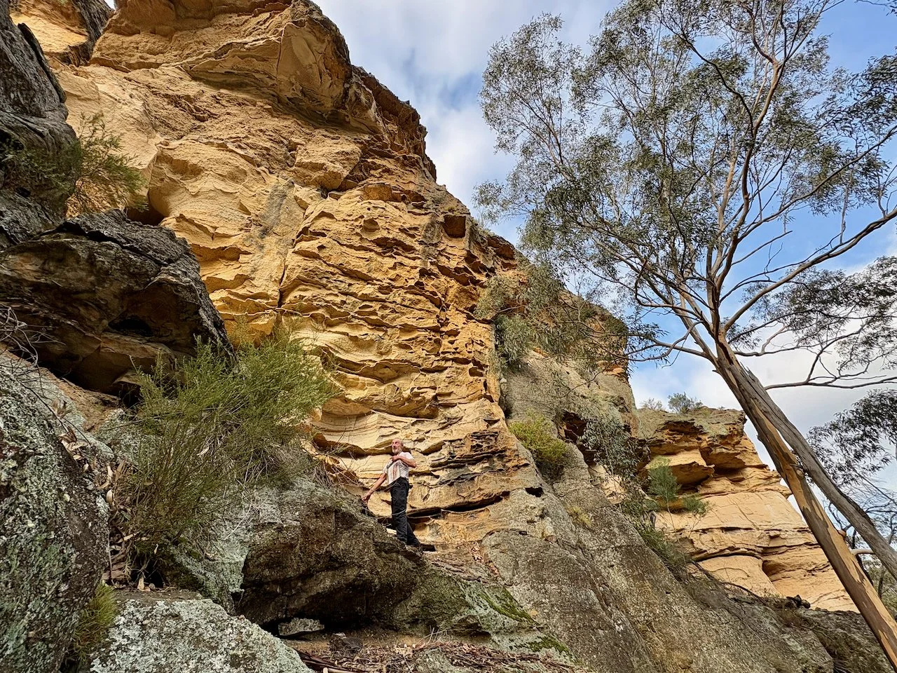
Yuri scouts ahead for a way through the cliffline
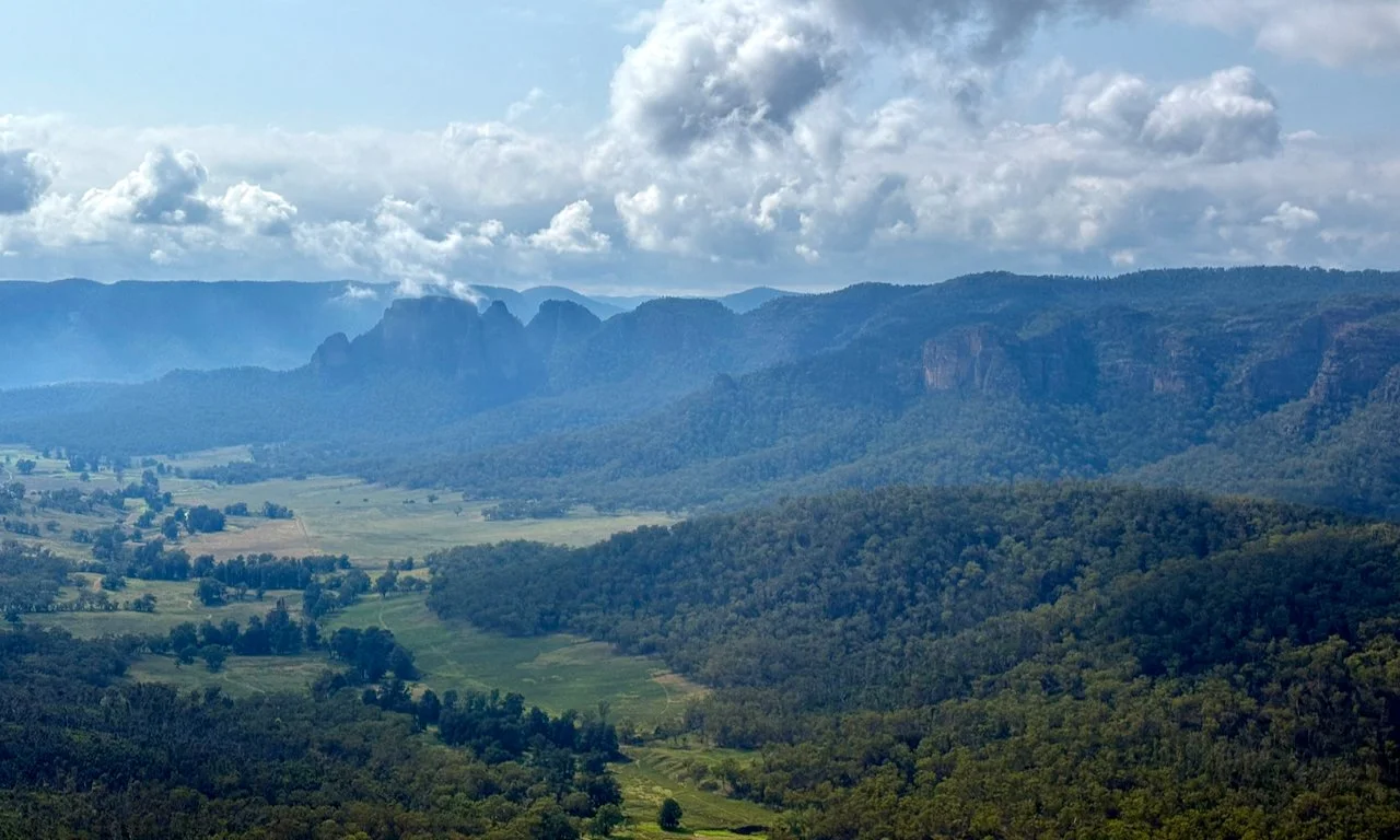
The first big view of the day. Looking over Emu Creek Valley to the end of the Pomany Range
Tenacious plants, including Callitris conifers, grasp the broken cliff line.
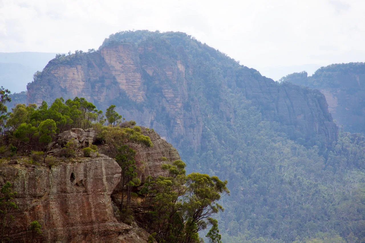
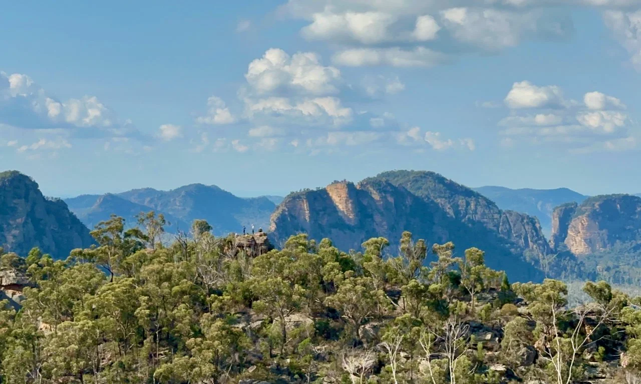
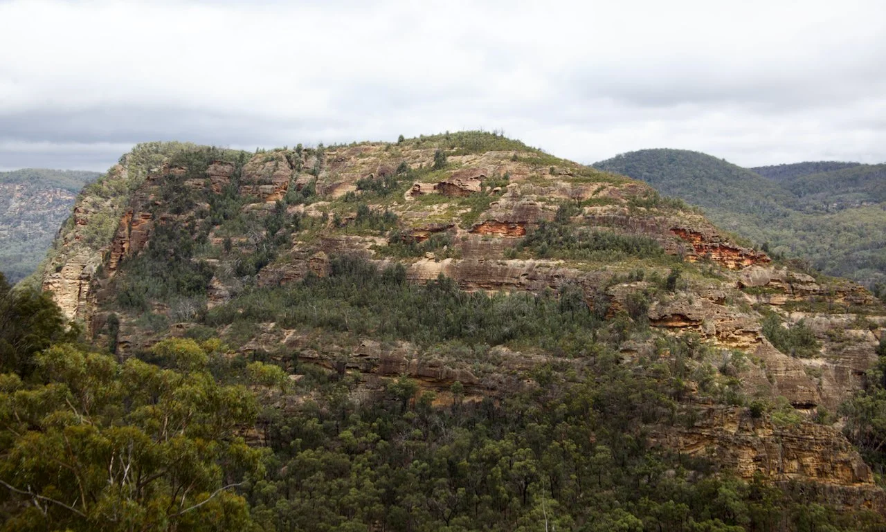
First glimpse of Watts Mountain
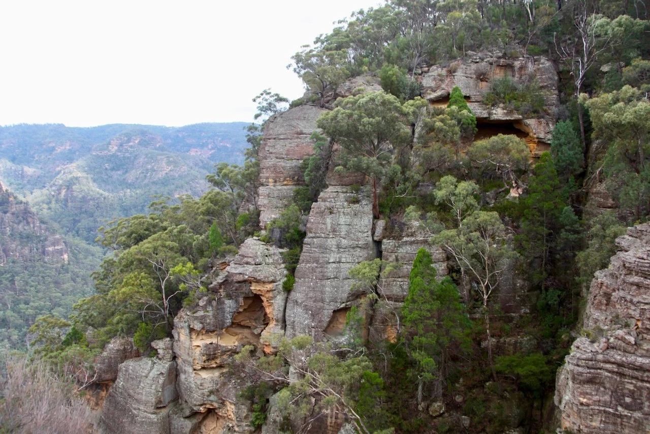
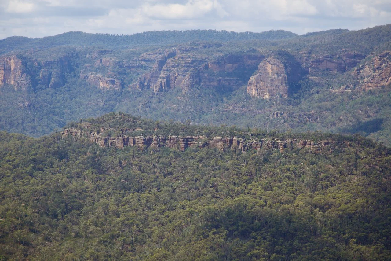
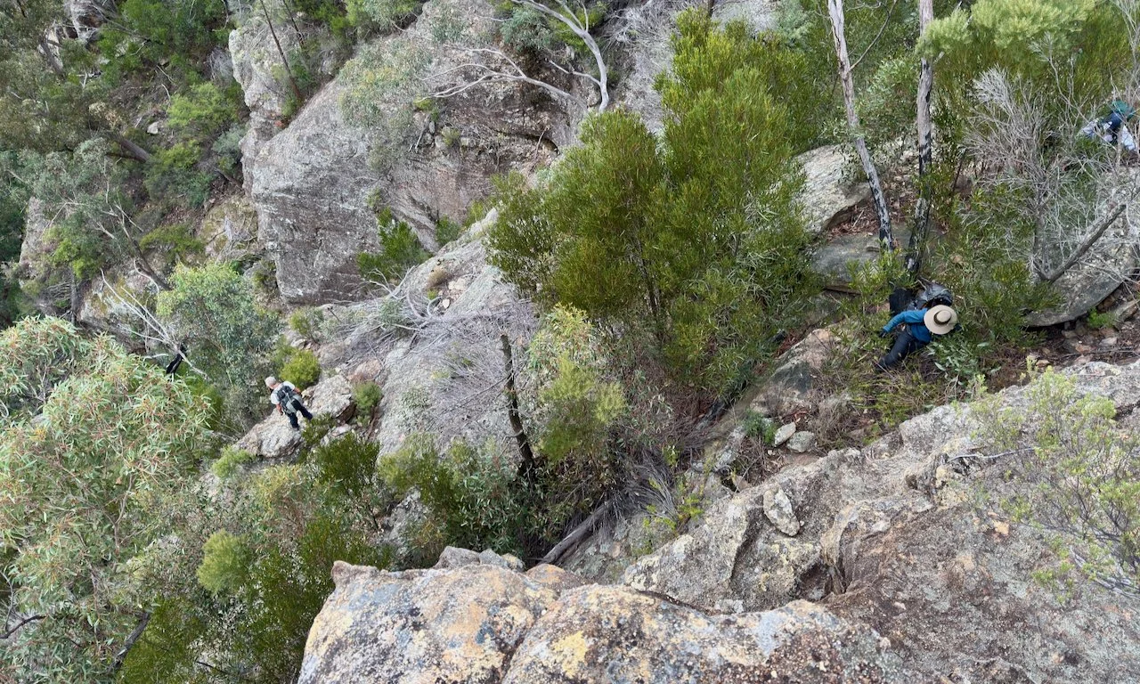
Deeply dissected cliffs
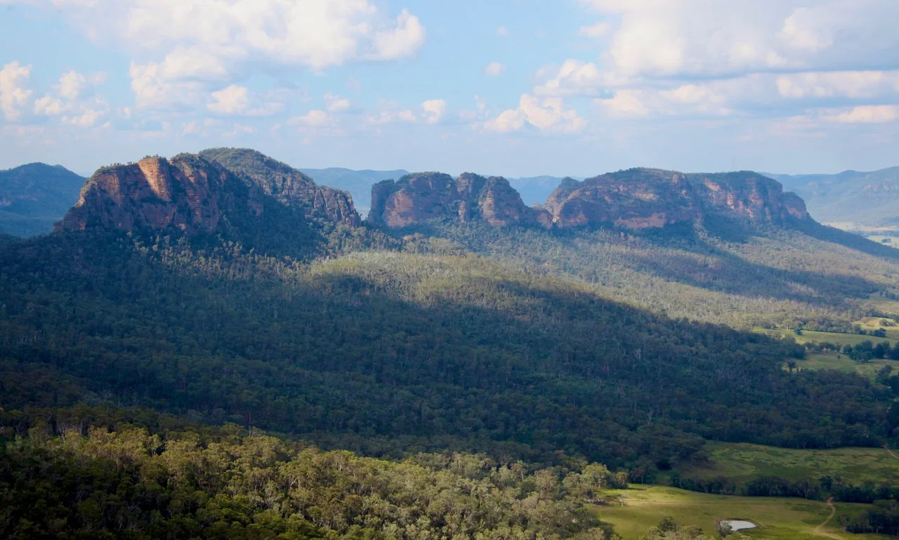
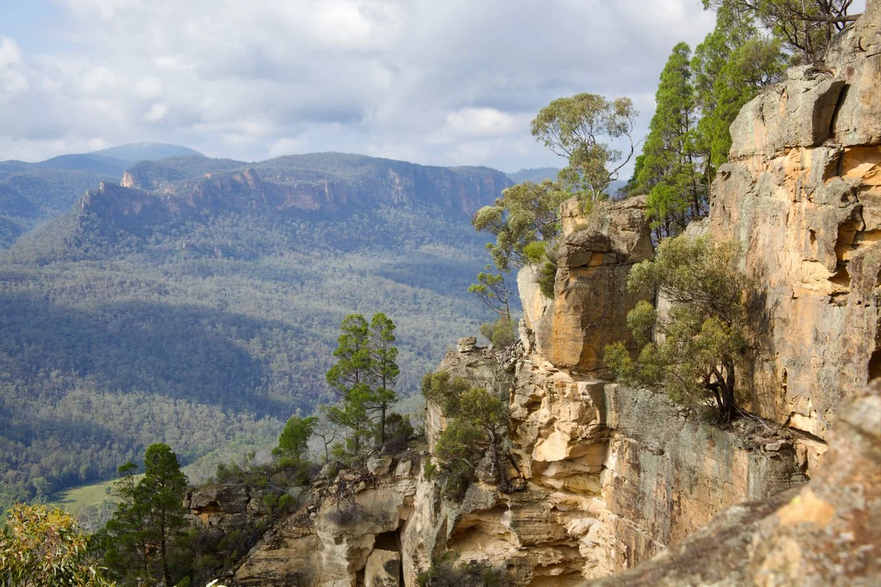
Steep rocky mountain landscape with dense green forest on cliffs and blue cloudy sky in the background.
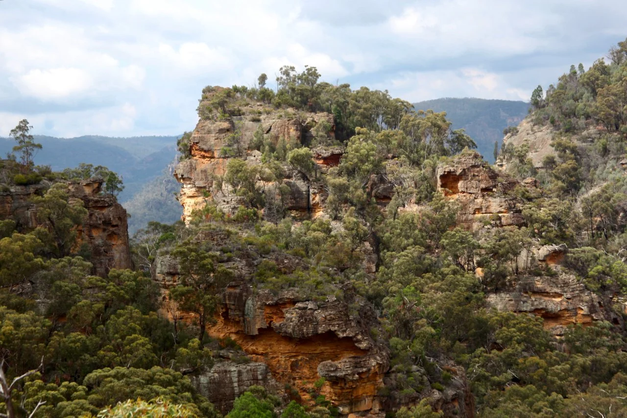
The Minaret Range (middle)
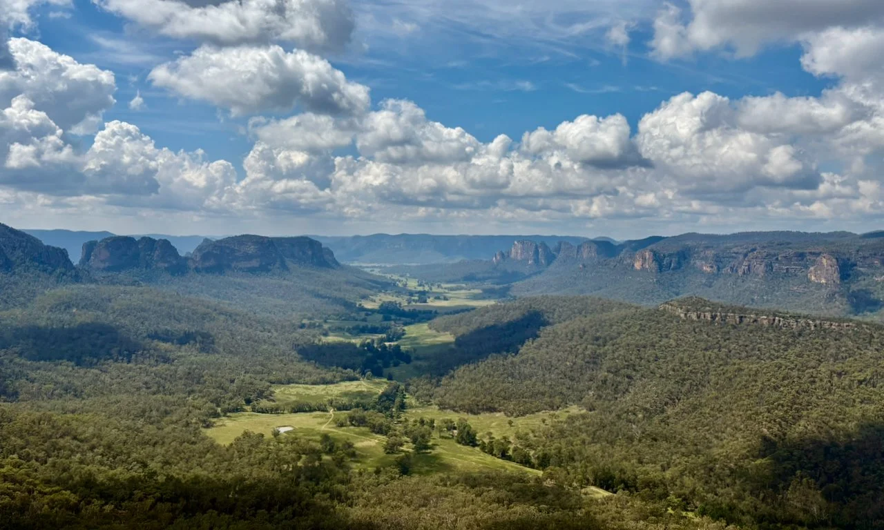
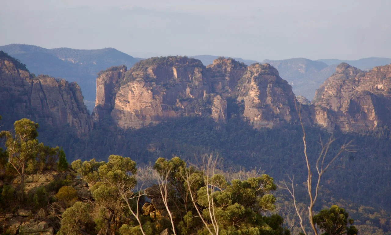
Looking across Emu Creek Valley. The northern Yodellers Range on the left, Minaret Range (middle right) and Pomany Range (far right)

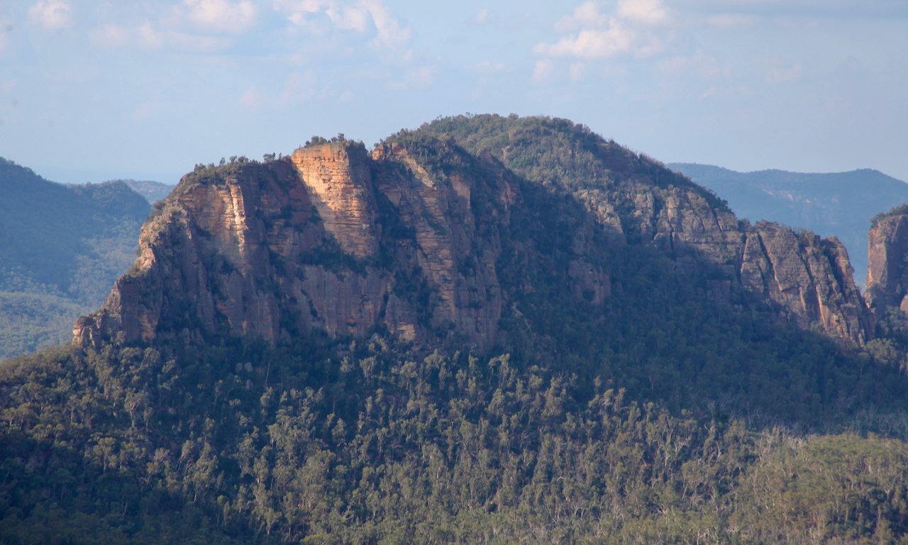
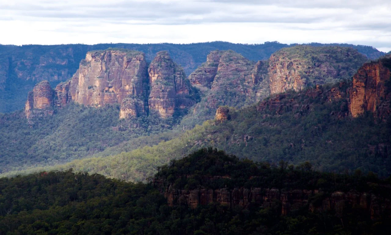
Yodellers Range, Watts Mountain (left), Wedding Cake Mountain (middle), Torrani and Reverelli Mountains (right).
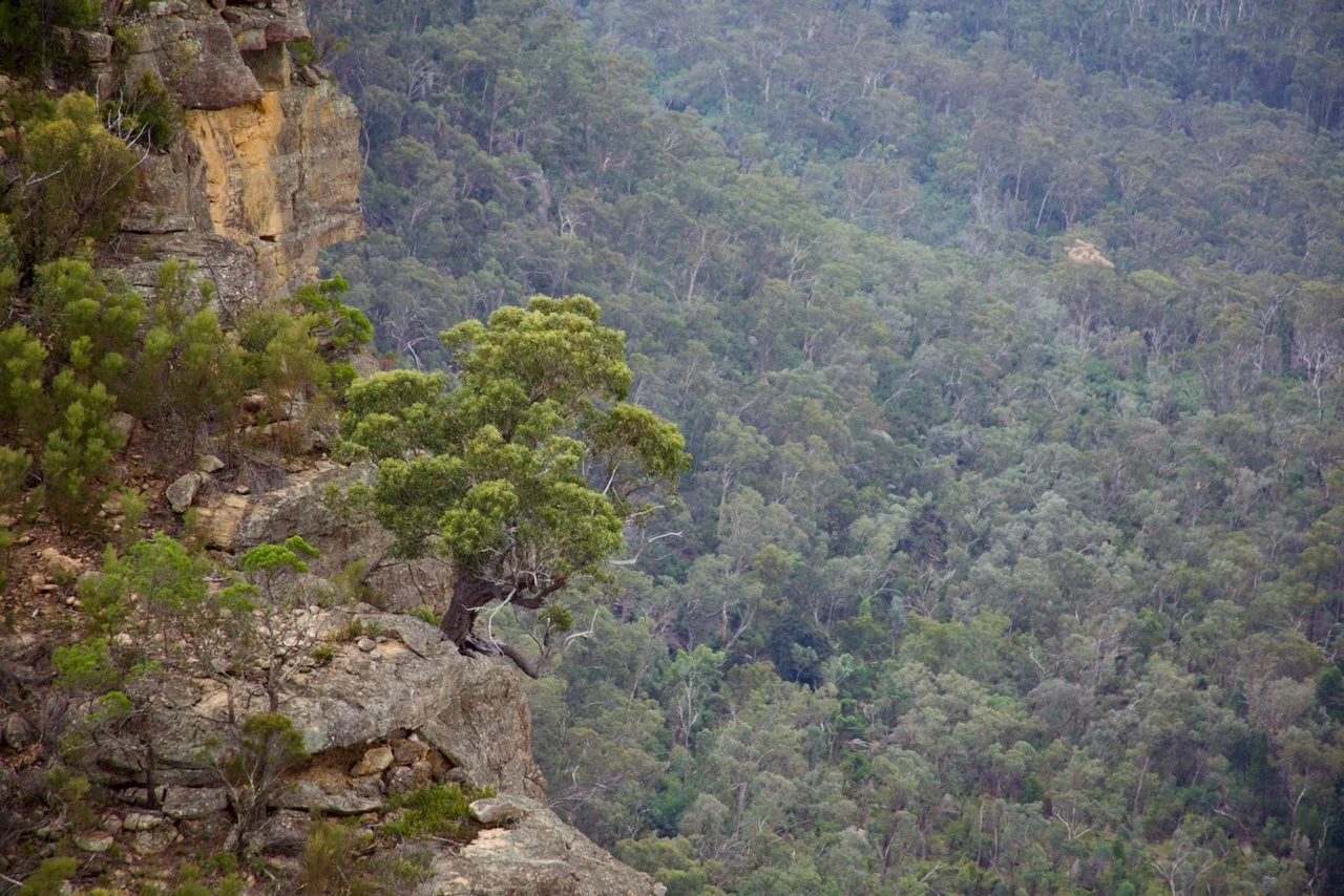
One lone determined tree
Half of our party out on an outcrop.
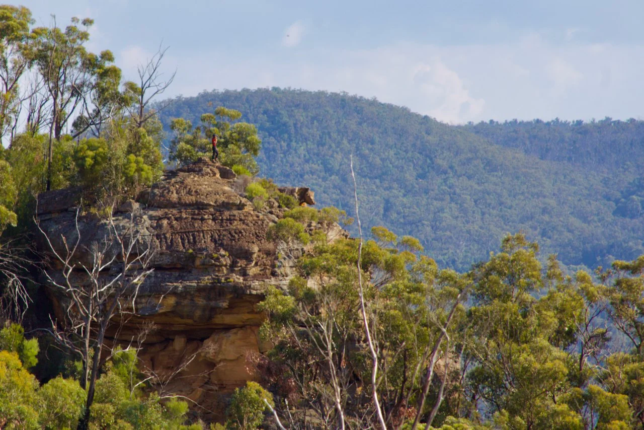
Susan where she took the previous photo
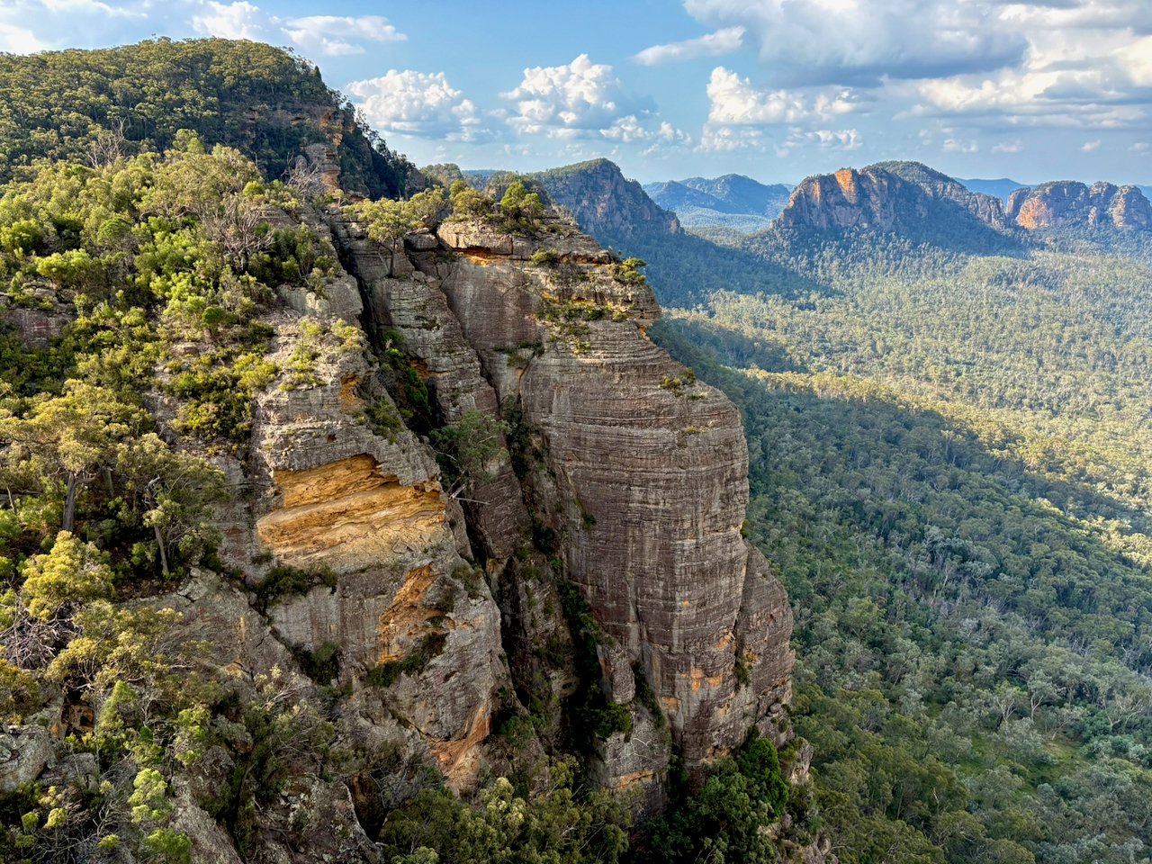
150 m cliffs seen from near our high camp
Glorious Watts Mountain
Minaret Ridge and Minaret Peak in the afternoon sun
At our dinner rock looking back at the day's traverse
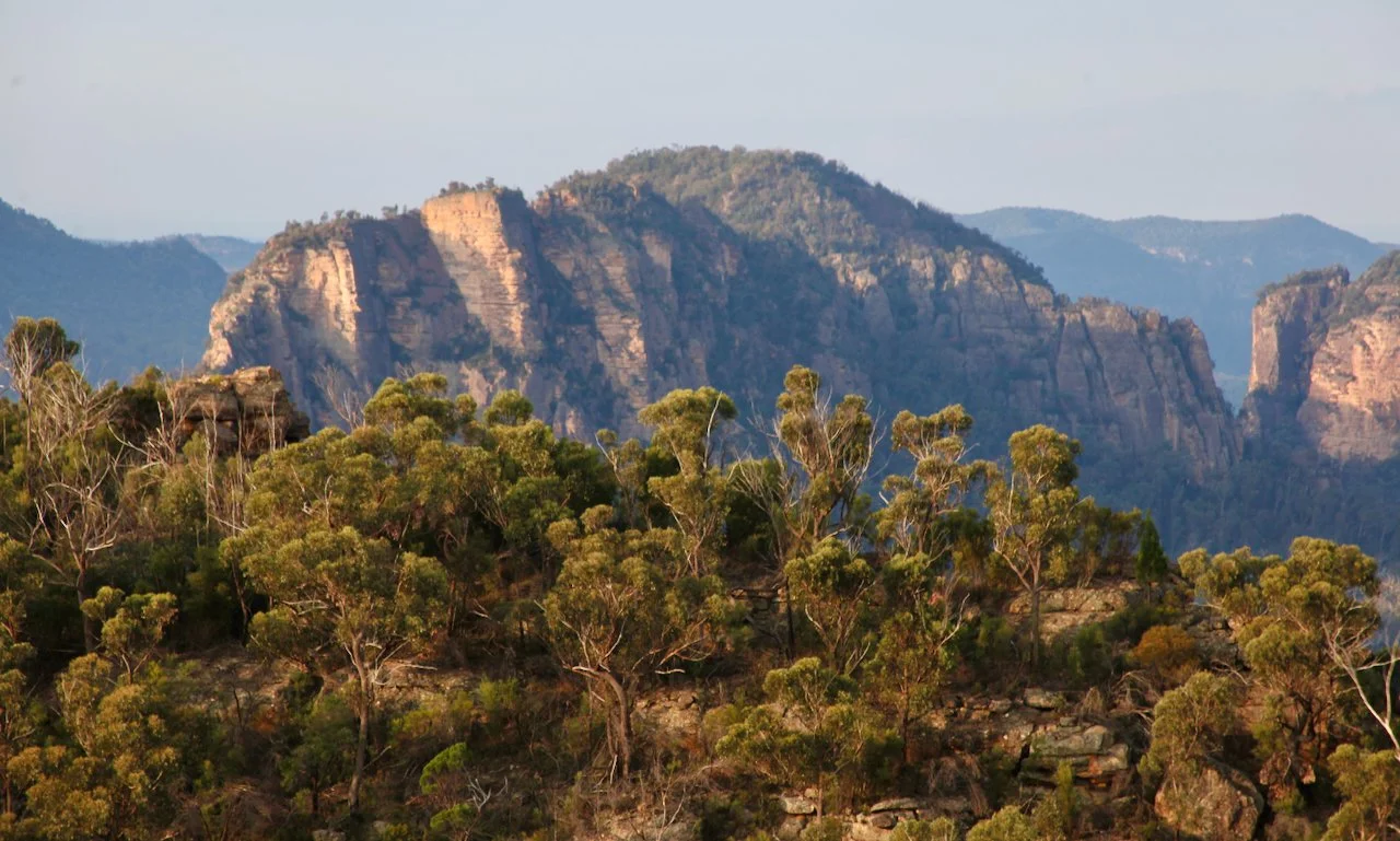
Watts Mountain
Wedding Cake Mountain
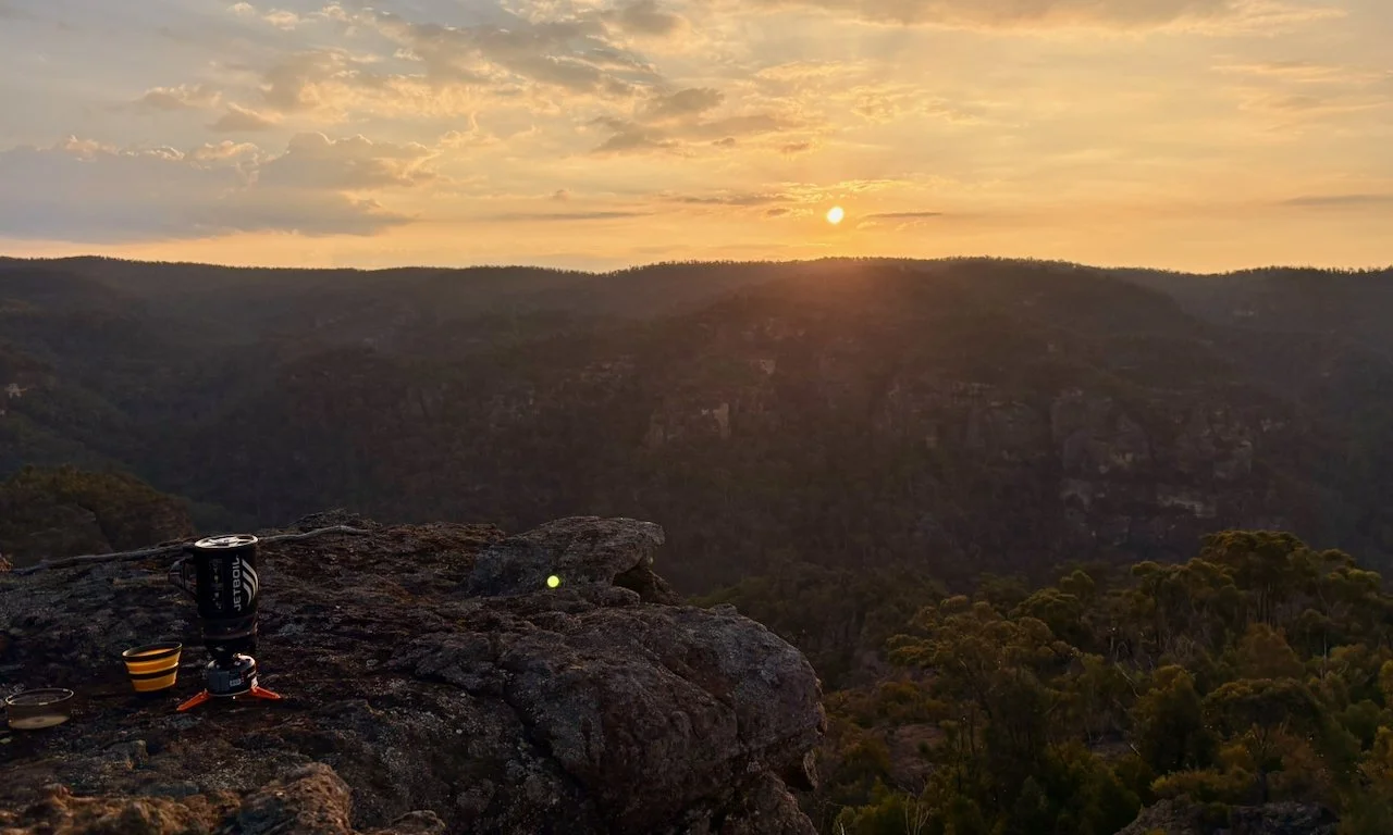
Sunset over the Nullo Range to the west
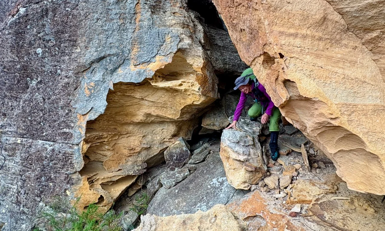
Fresh start on Day 2, emerging from the fractured cliff line
Yuri and Kevin find a way down. Photo: Jose
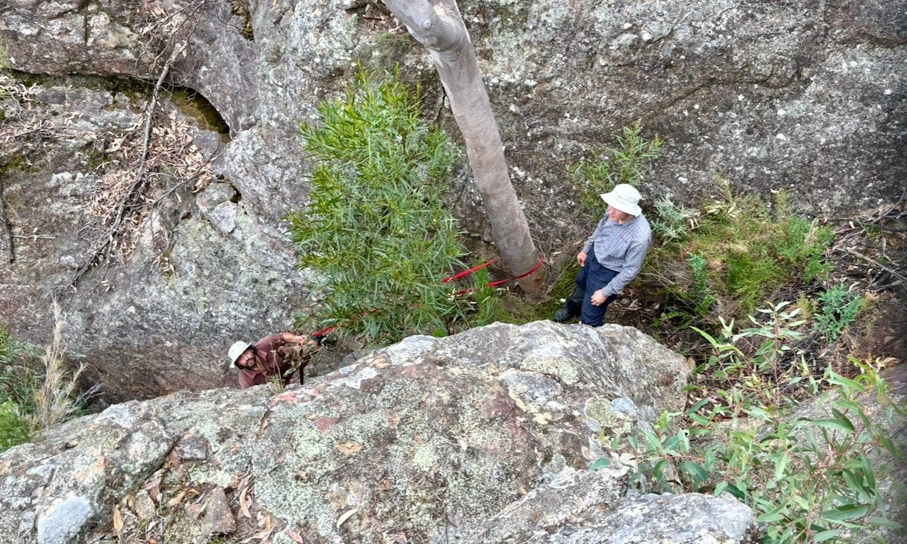
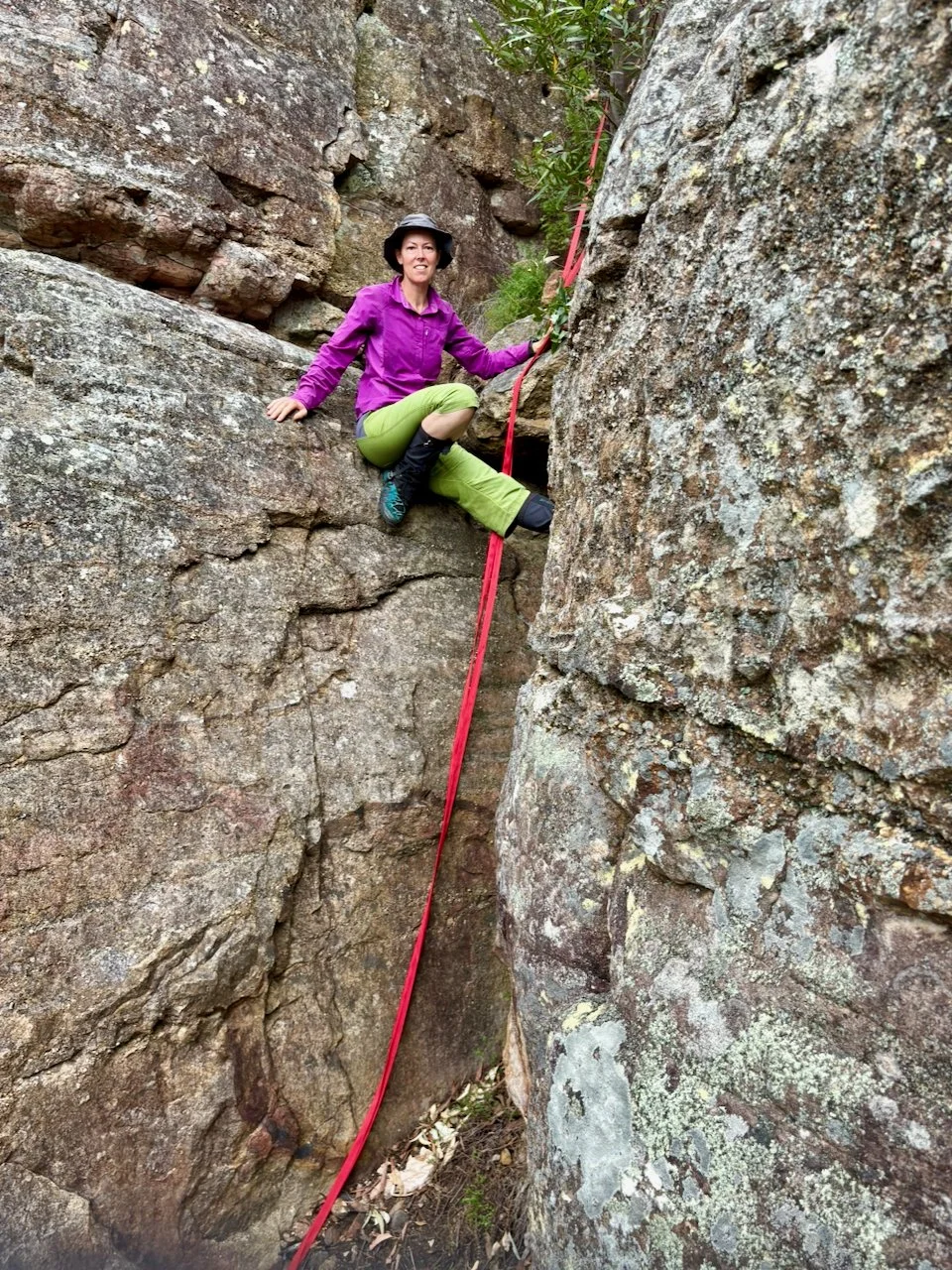
Tapes were set to negotiate the cliffline
Yuri and Oli find a way up onto the next peak
Enticing looking peak. This will need to be visited on another trip.
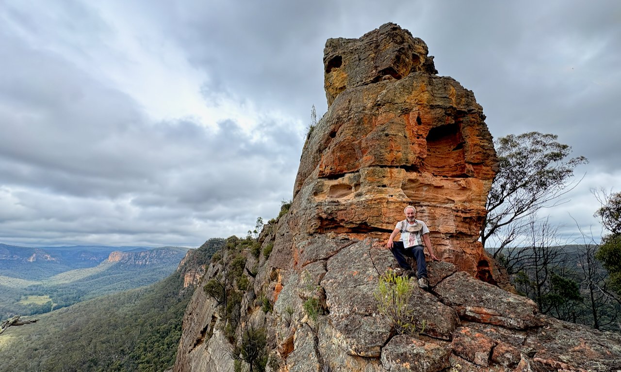
Yuri at the furthest point of this trip. The southern Yodellers extents behind.
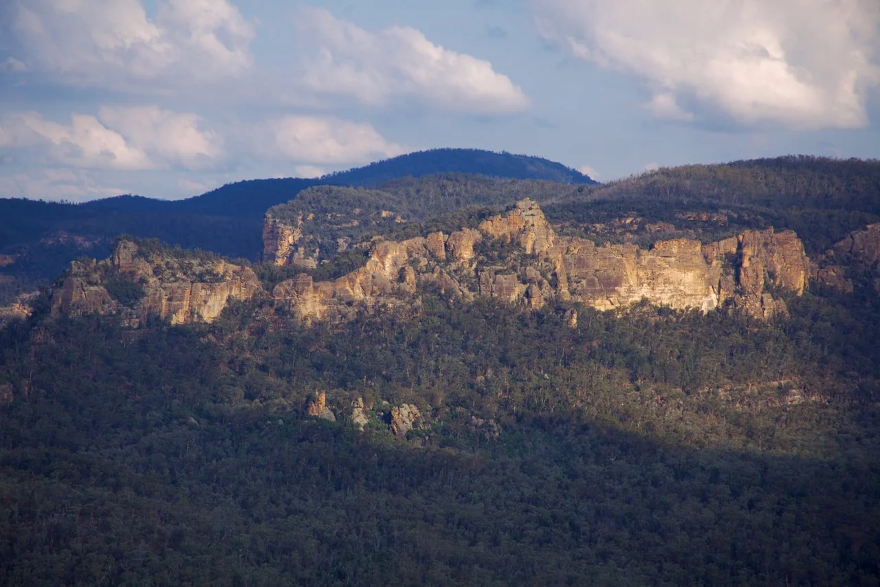
The northern end of Pomany Range
One last view across Emu Creek Valley before our descent off the range
Finding our way down
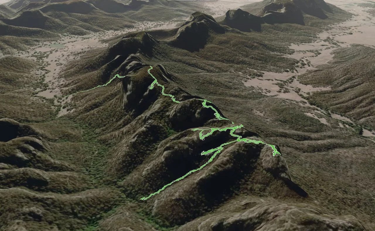
The two-day traverse
Day 1 (red)
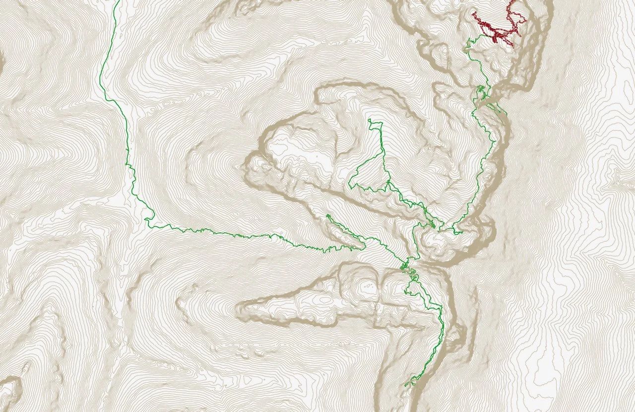
Day 2 (green)