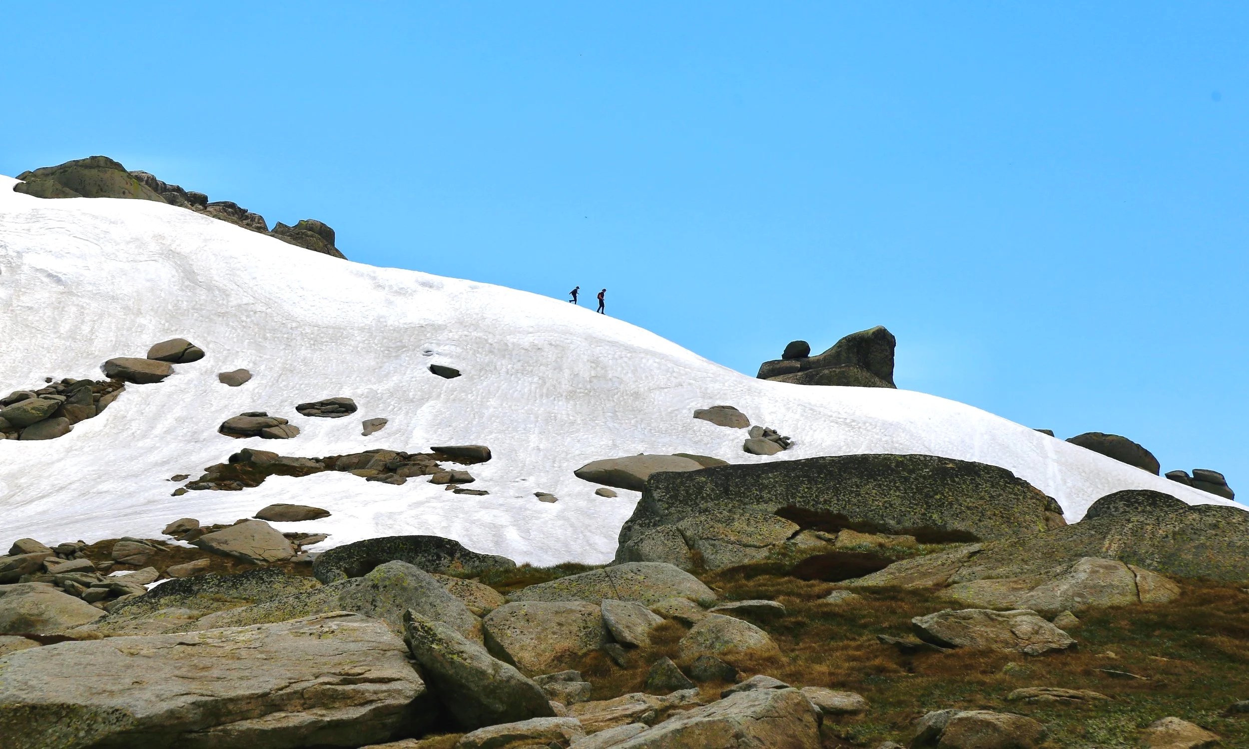
Mount Townsend
via Mount Clarke
A climb to Australia’s second highest peak - Mount Townsend. Via Mount Clarke
-
Location: Kosciuszko National Park / Main Range
Date walked: December 2022
Duration: Long day walk
Distance: 23 km
Elevation gain: 846 m
Route type: Alpine return walk from Charlotte Pass via Club Lake Creek, Mount Clarke and Mount Townsend
Difficulty: Hard; long distance, sustained climbing, exposed alpine terrain and changeable mountain weather
Maps: Perisher Valley 1:25k topographic map
Conditions: Open alpine country, lingering snow patches, wide Main Range views and storm clouds building later in the day
Notes: This is not a route guide. Alpine conditions can change quickly, even in summer.
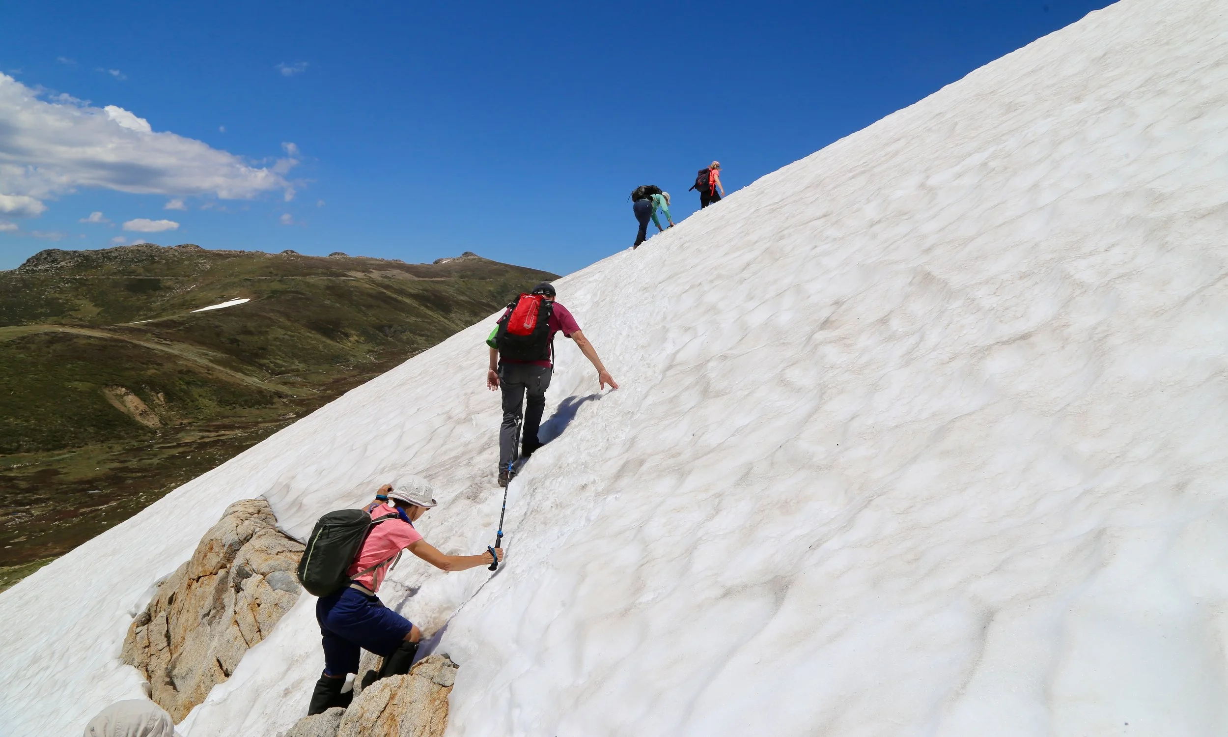
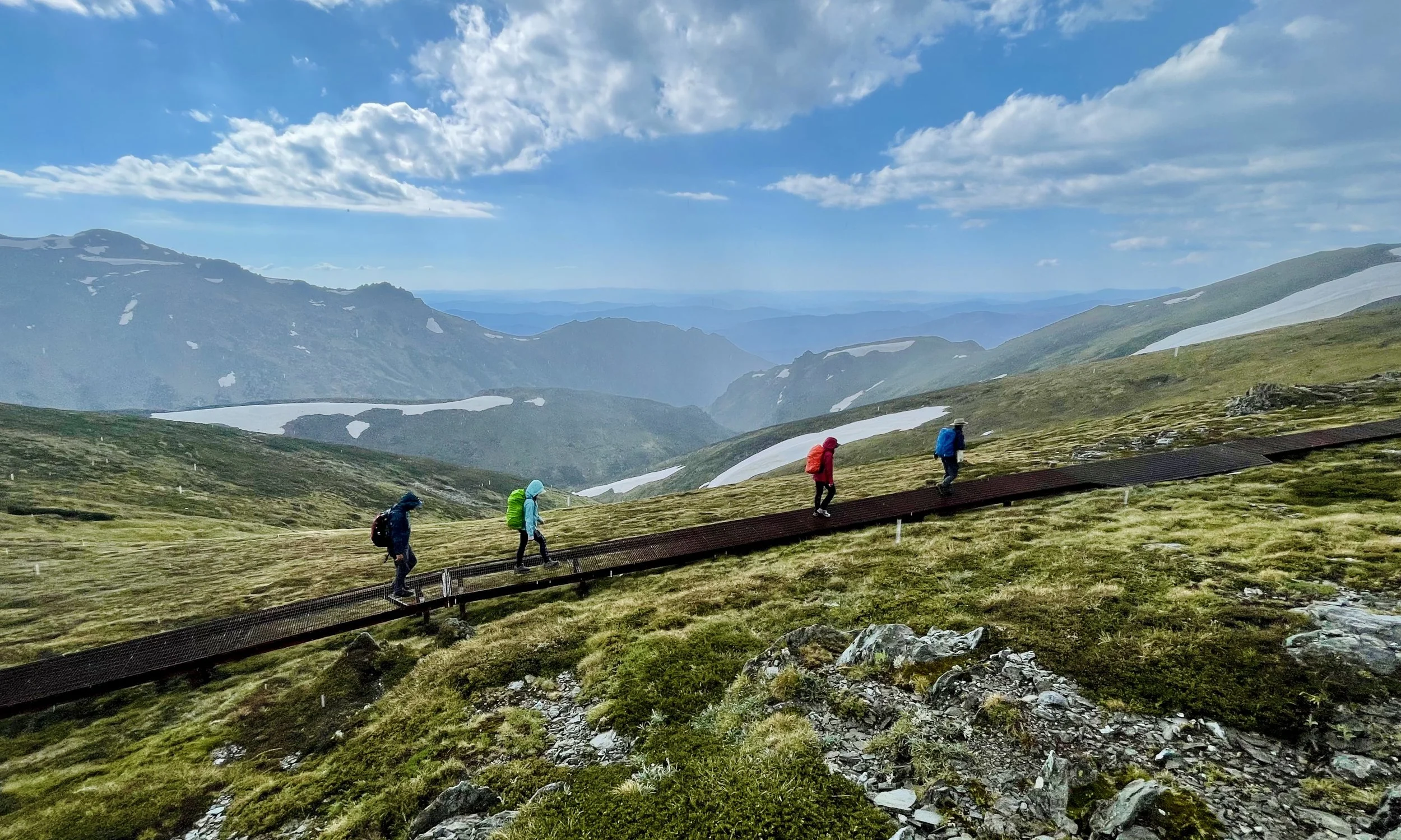
High on the Main Range, Mount Townsend rises among Australia’s highest summits. Our route crosses Mount Clarke before turning toward Australia’s second-highest peak, winding across open alpine plateaus and wide Snowy Mountains horizons, with patches of last winter’s snow lingering among the weathered granite tors.
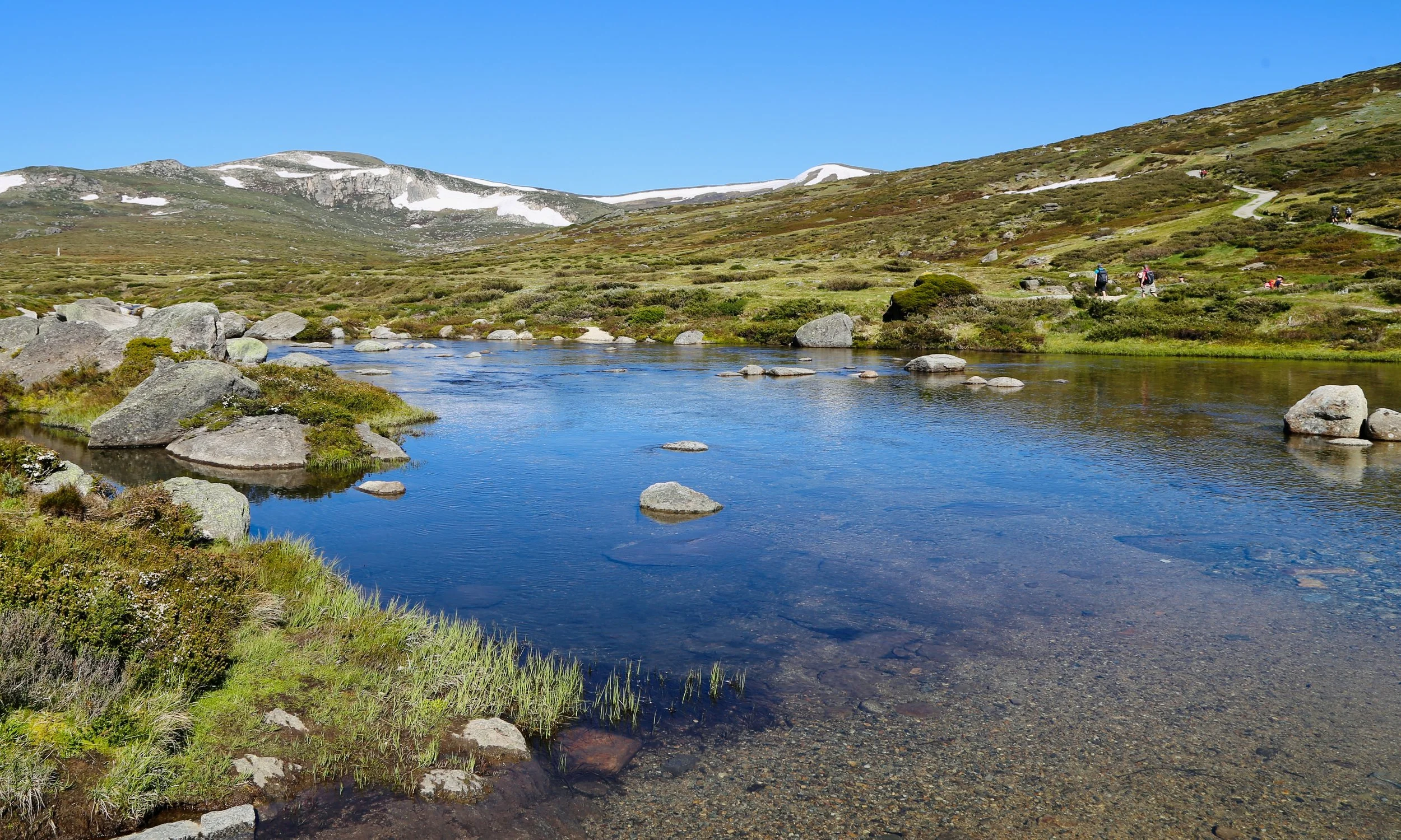
Crossing Club Lake Creek
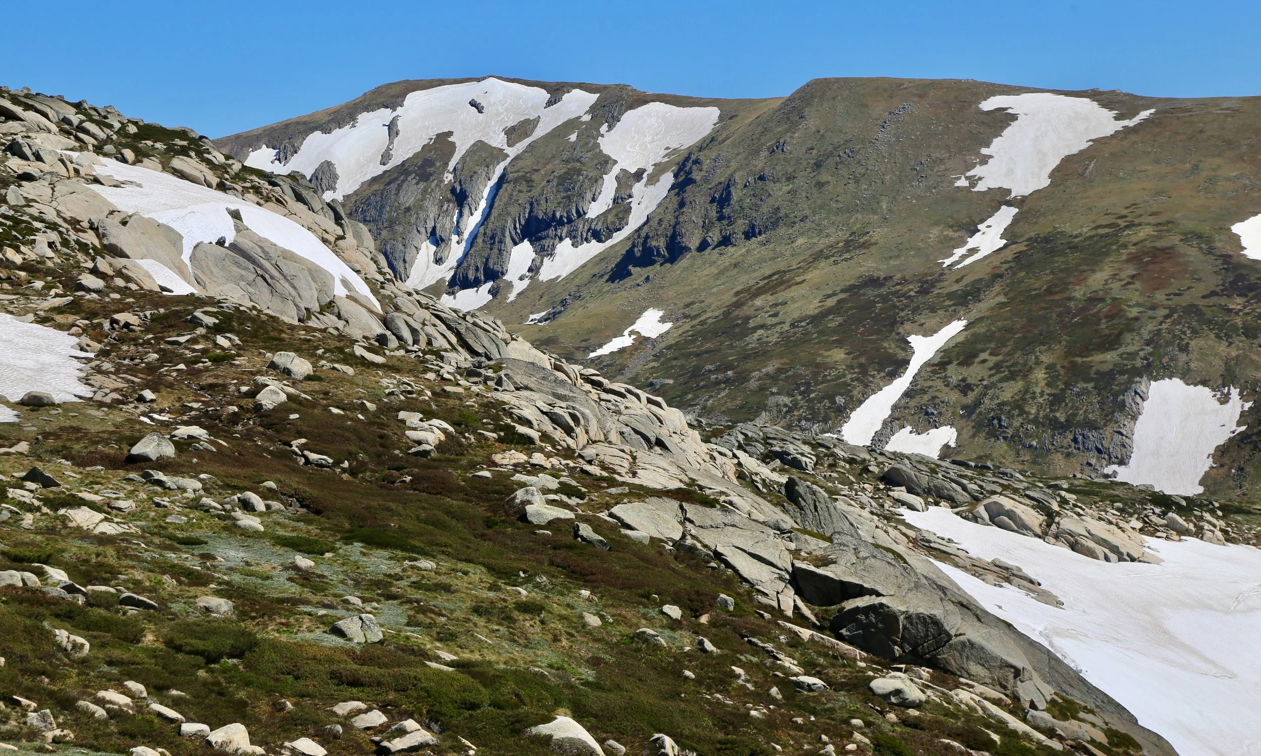
Looking up to Carruthers Peak (2,145 m)
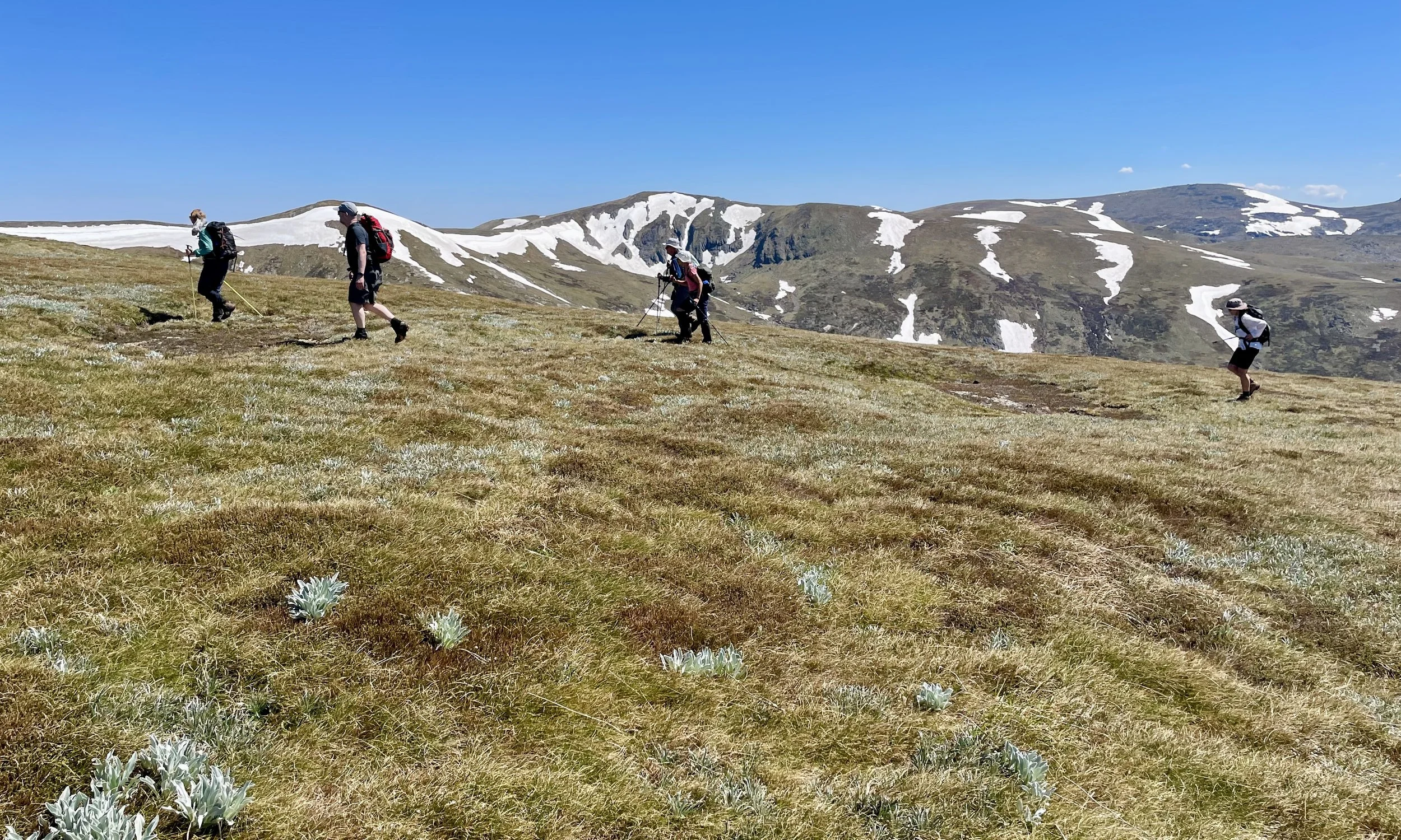
Climbing Mount Clarke
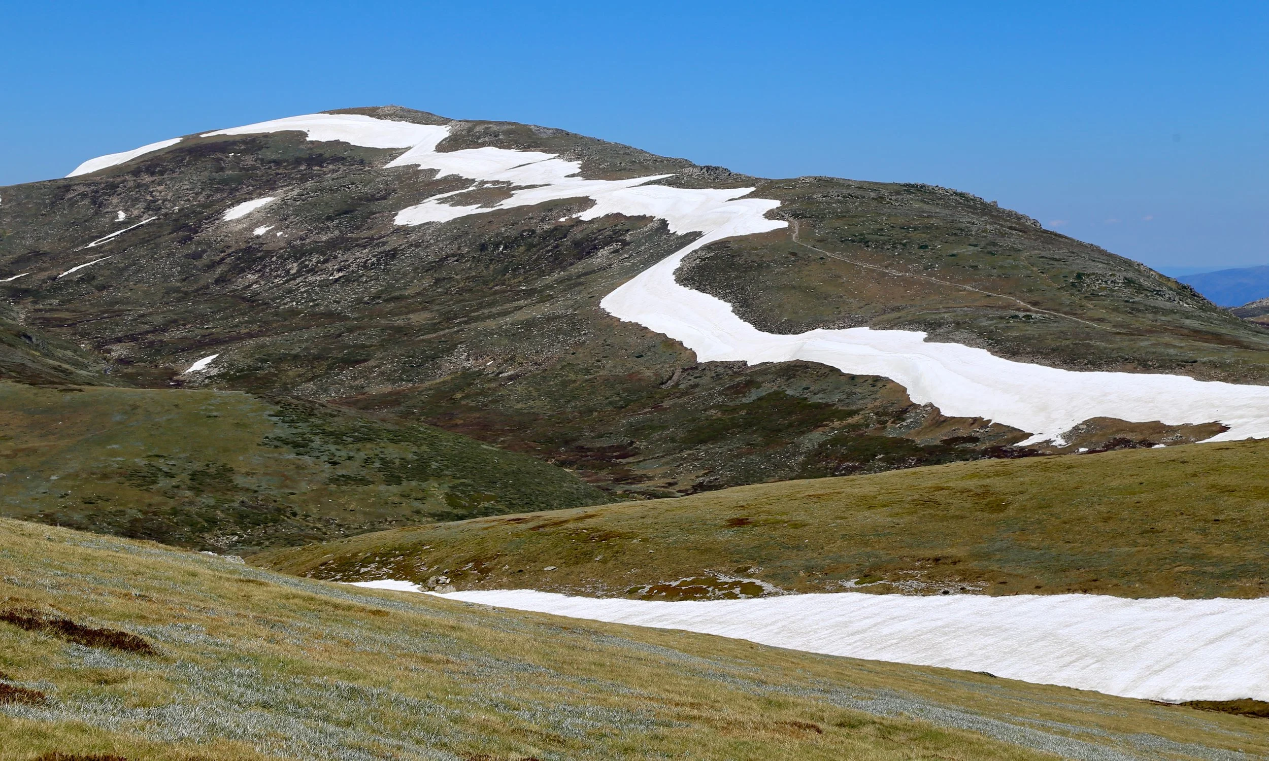
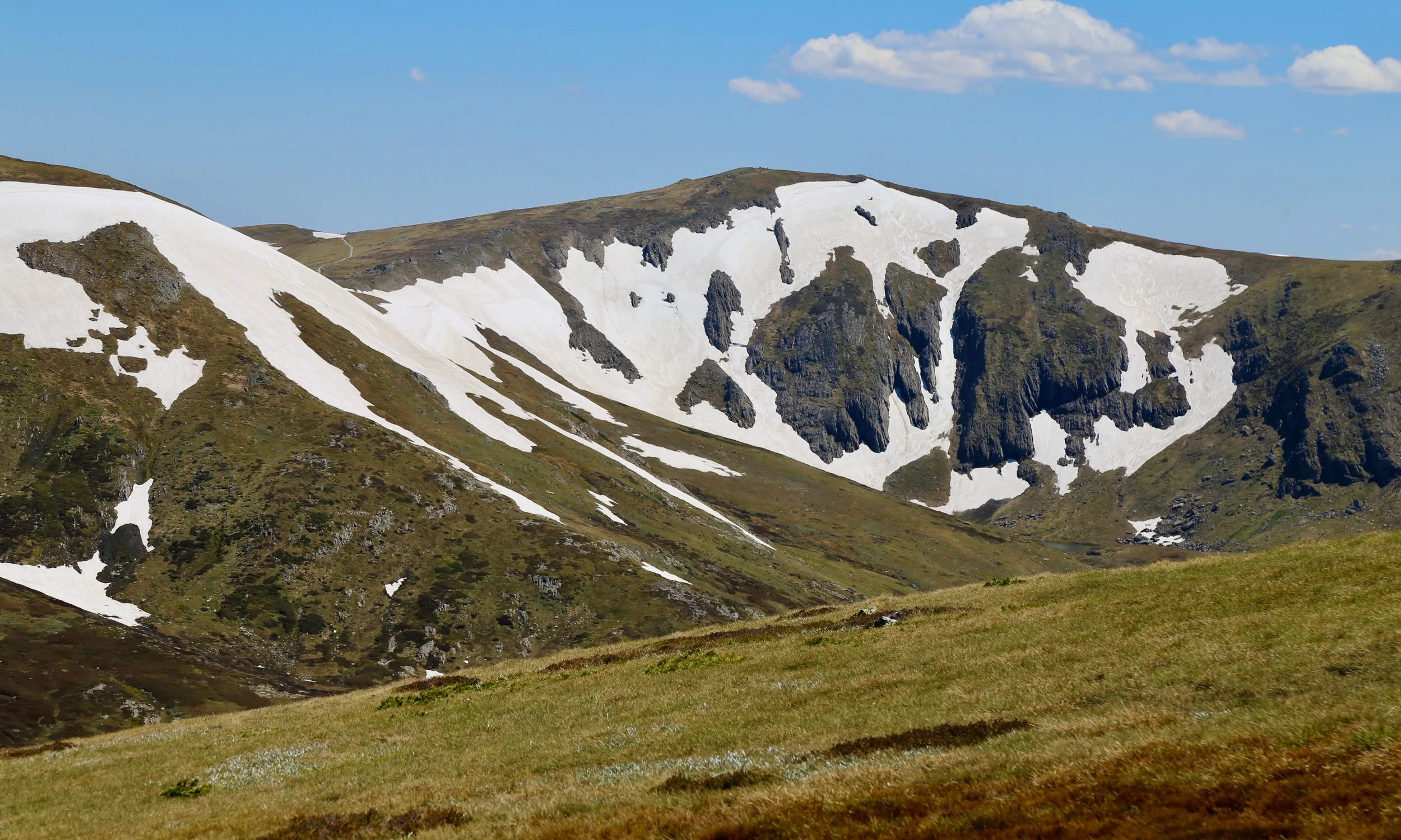
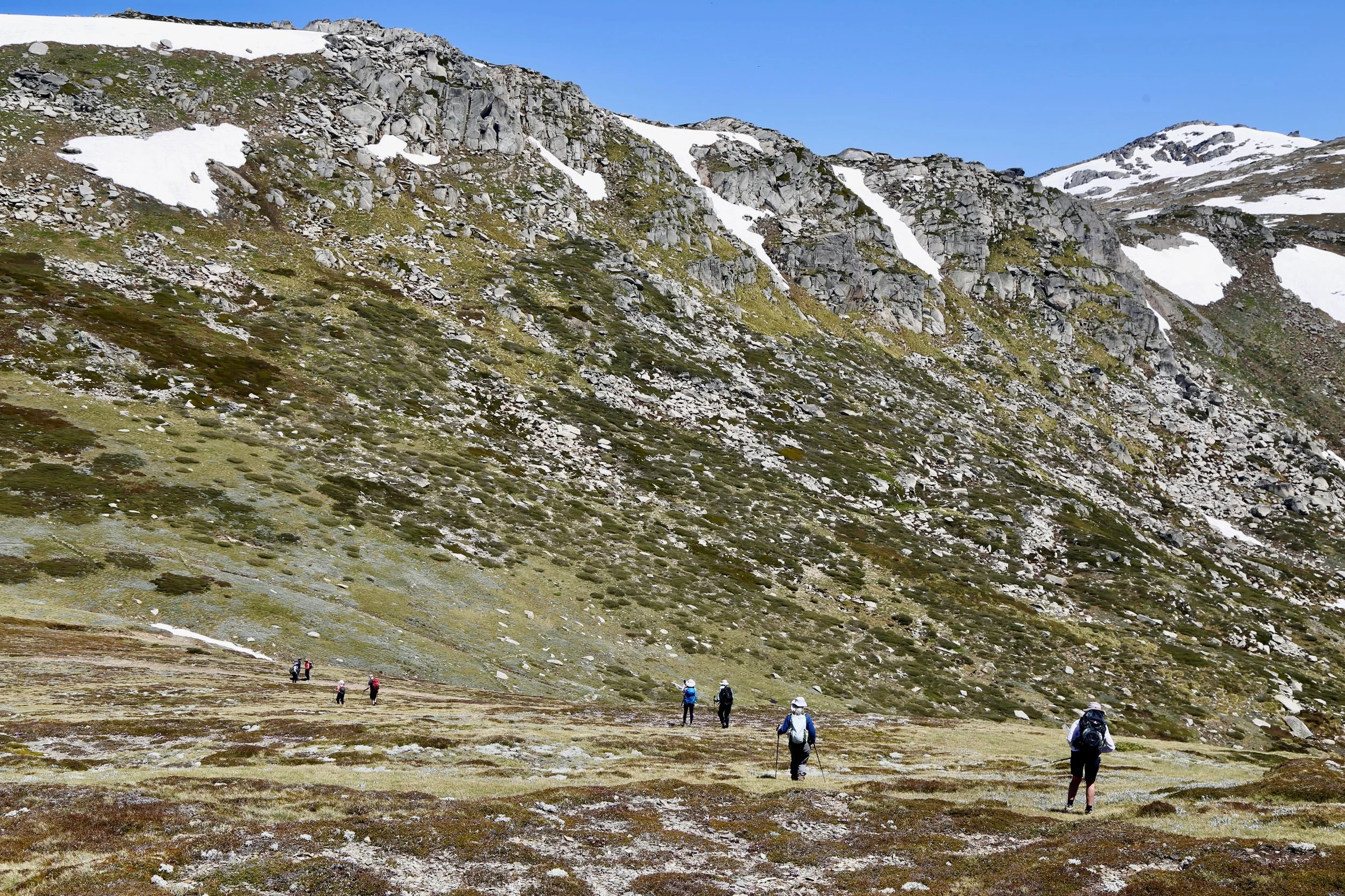
Moraine Pass and Mount Northcote behind
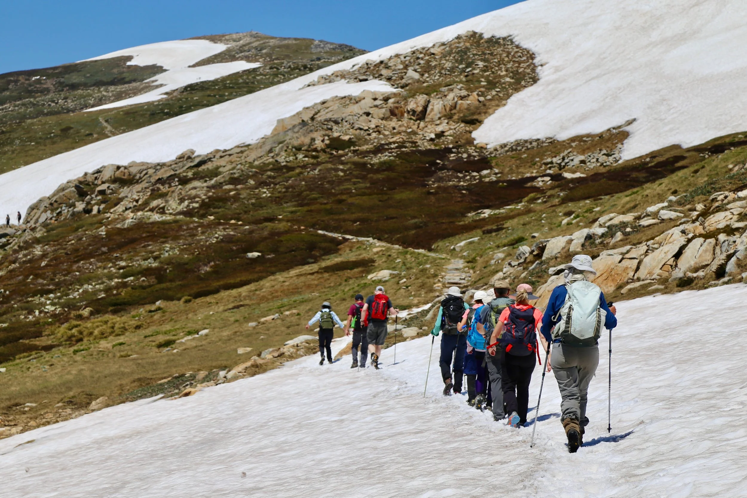
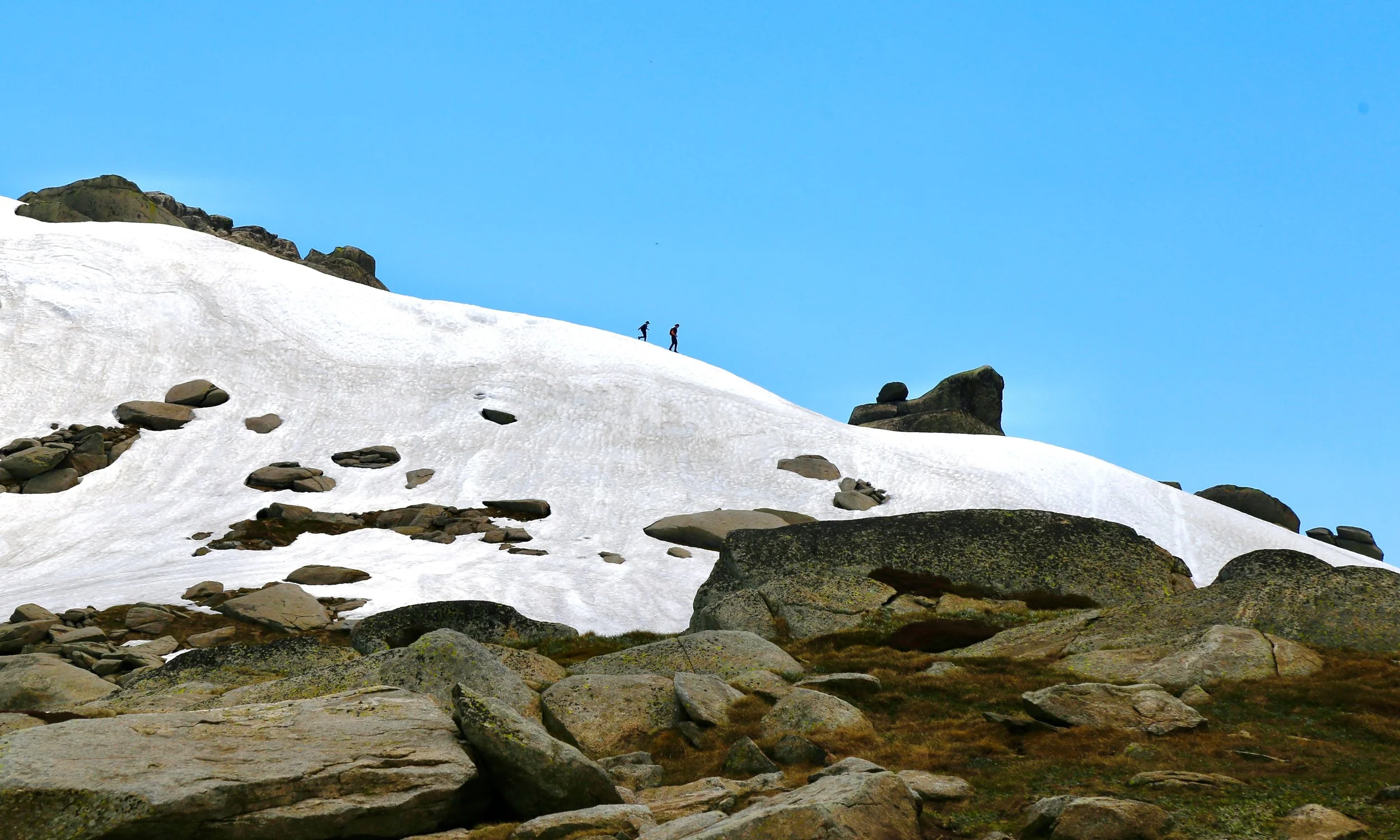
On the Main Range, with last winter's snow
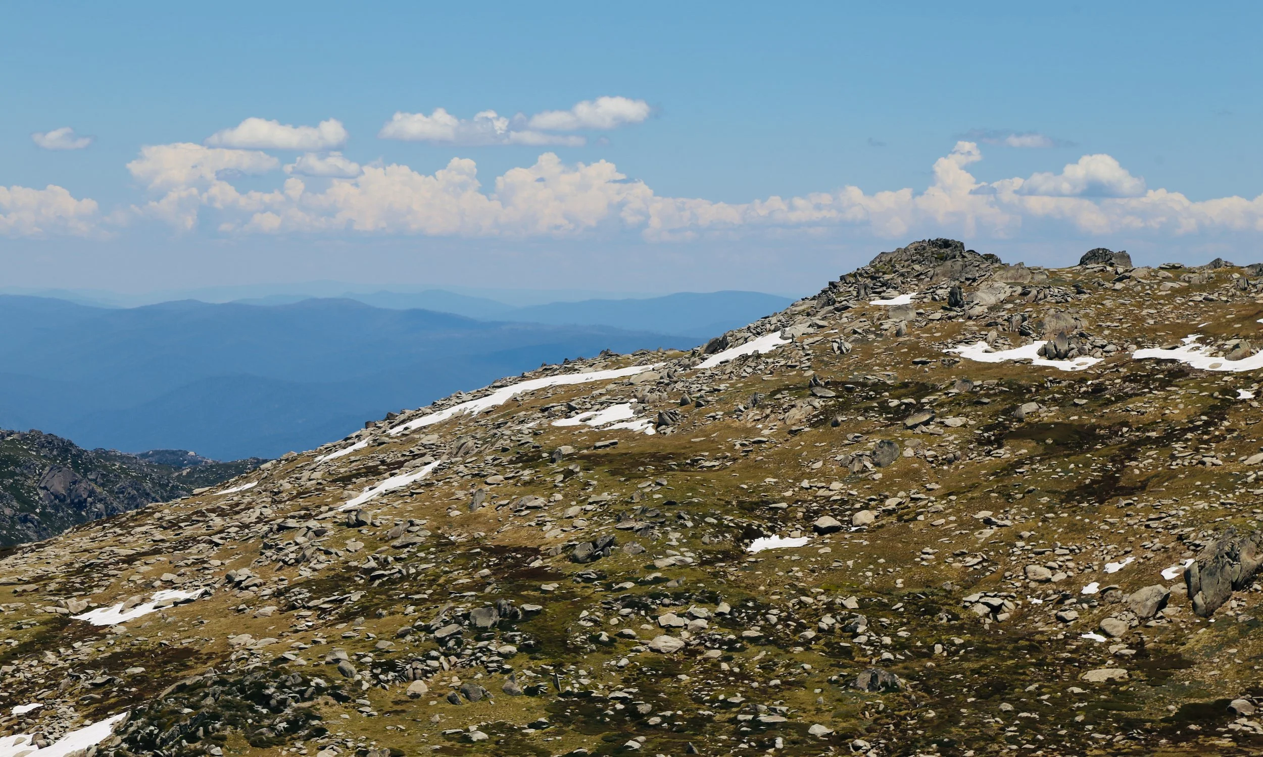
Mount Townsend
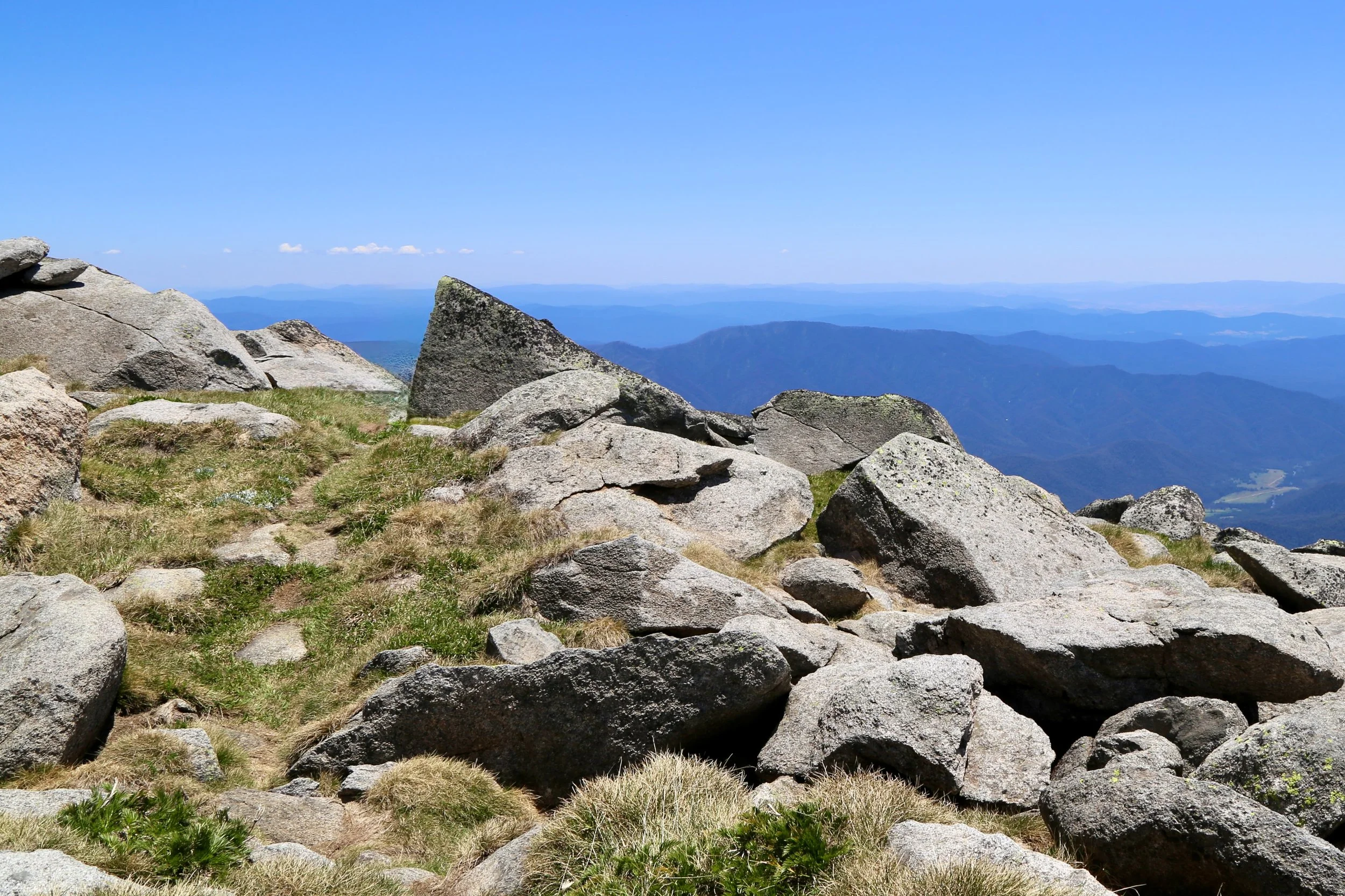
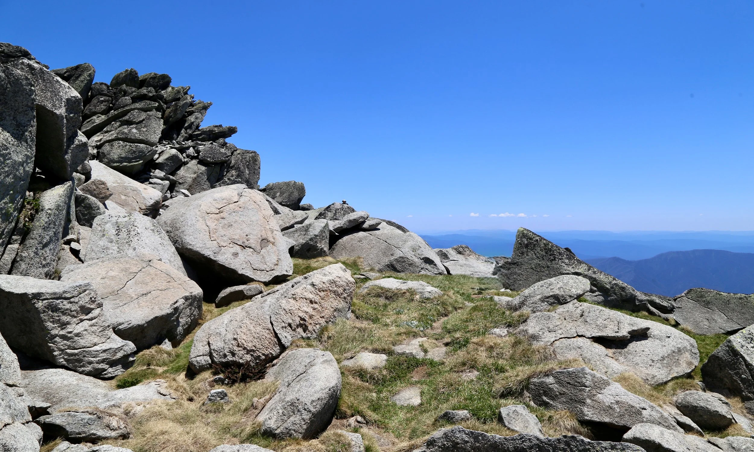
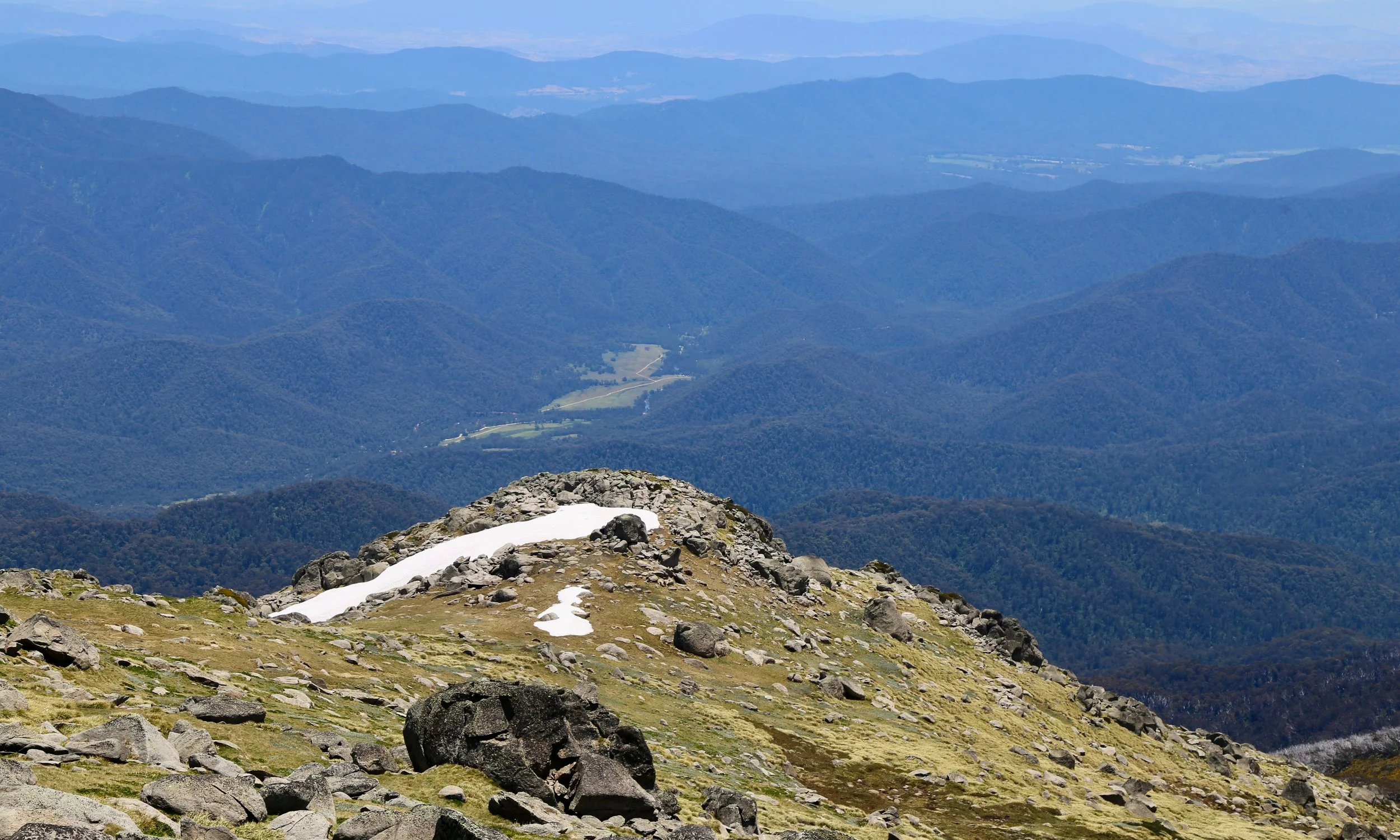
view north-west from Mount Townsend
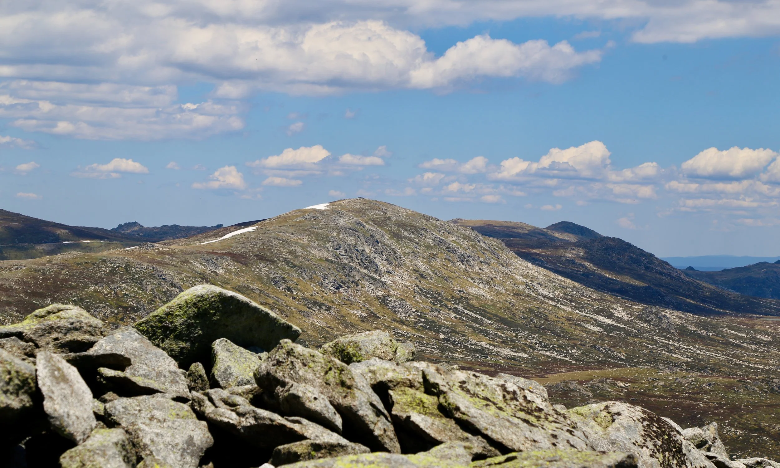
Mount Kosciuszko from Mount Townsend
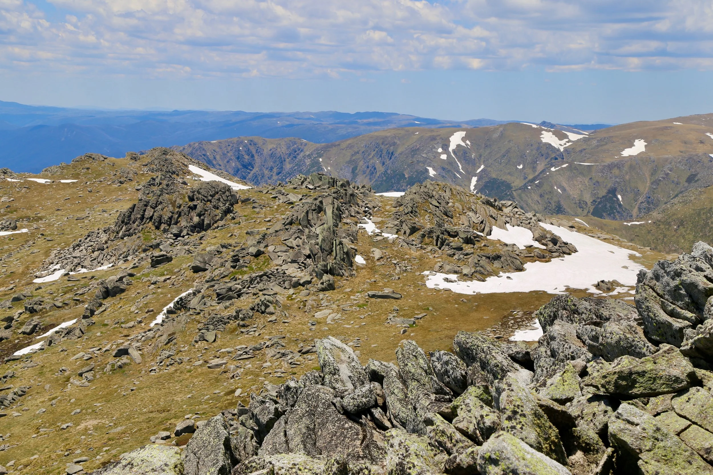
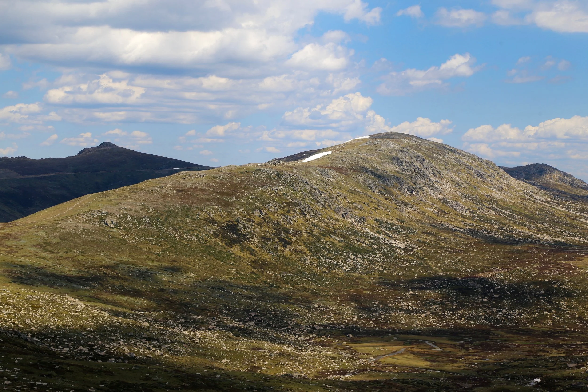
Mount Kosciuszko
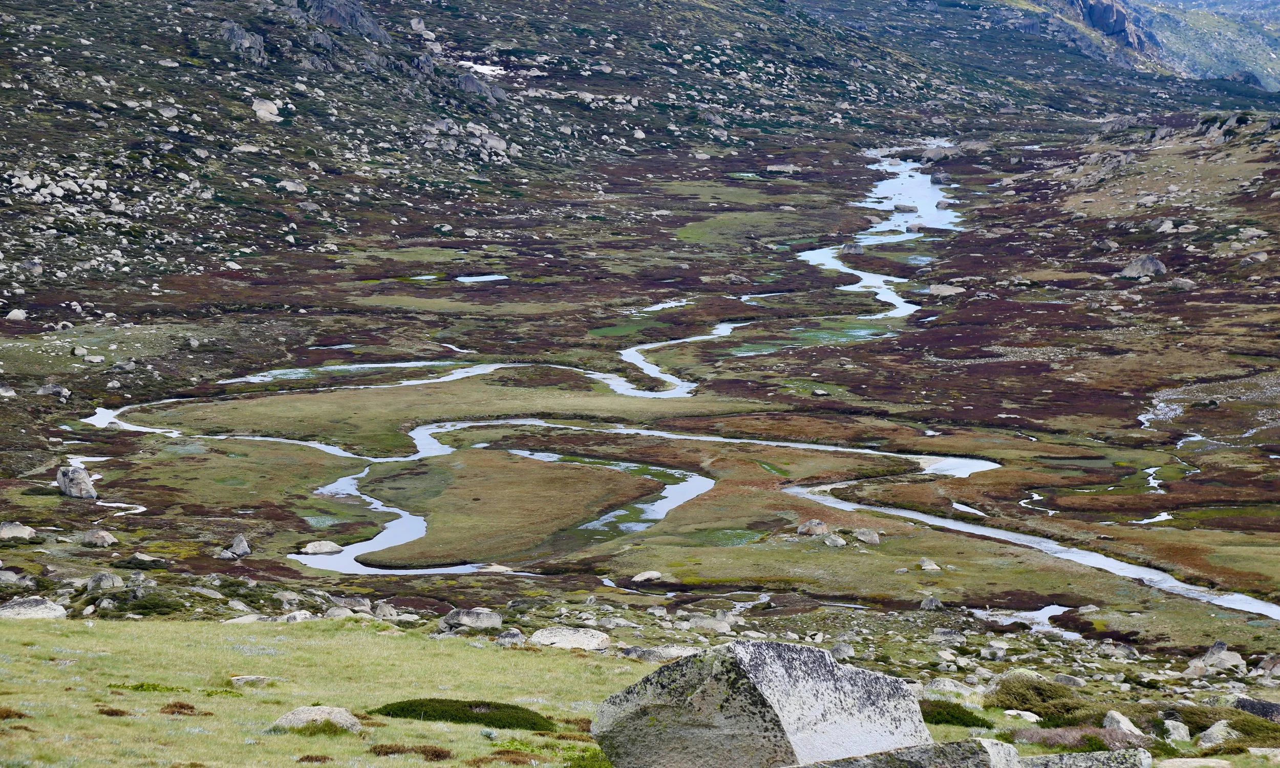
Upper reaches of the Snowy River
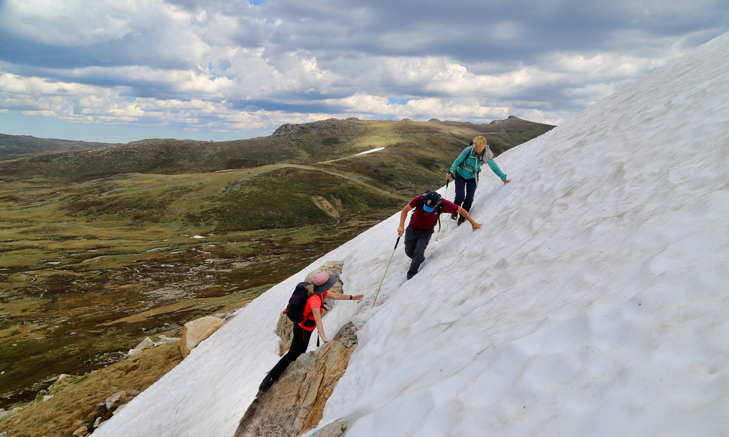
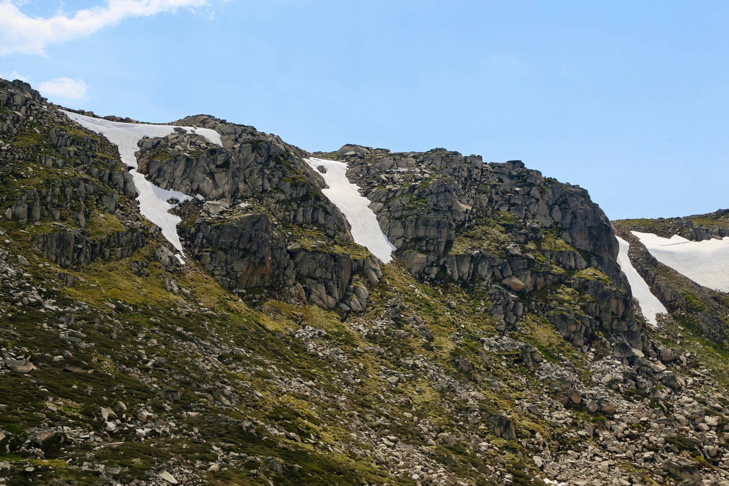
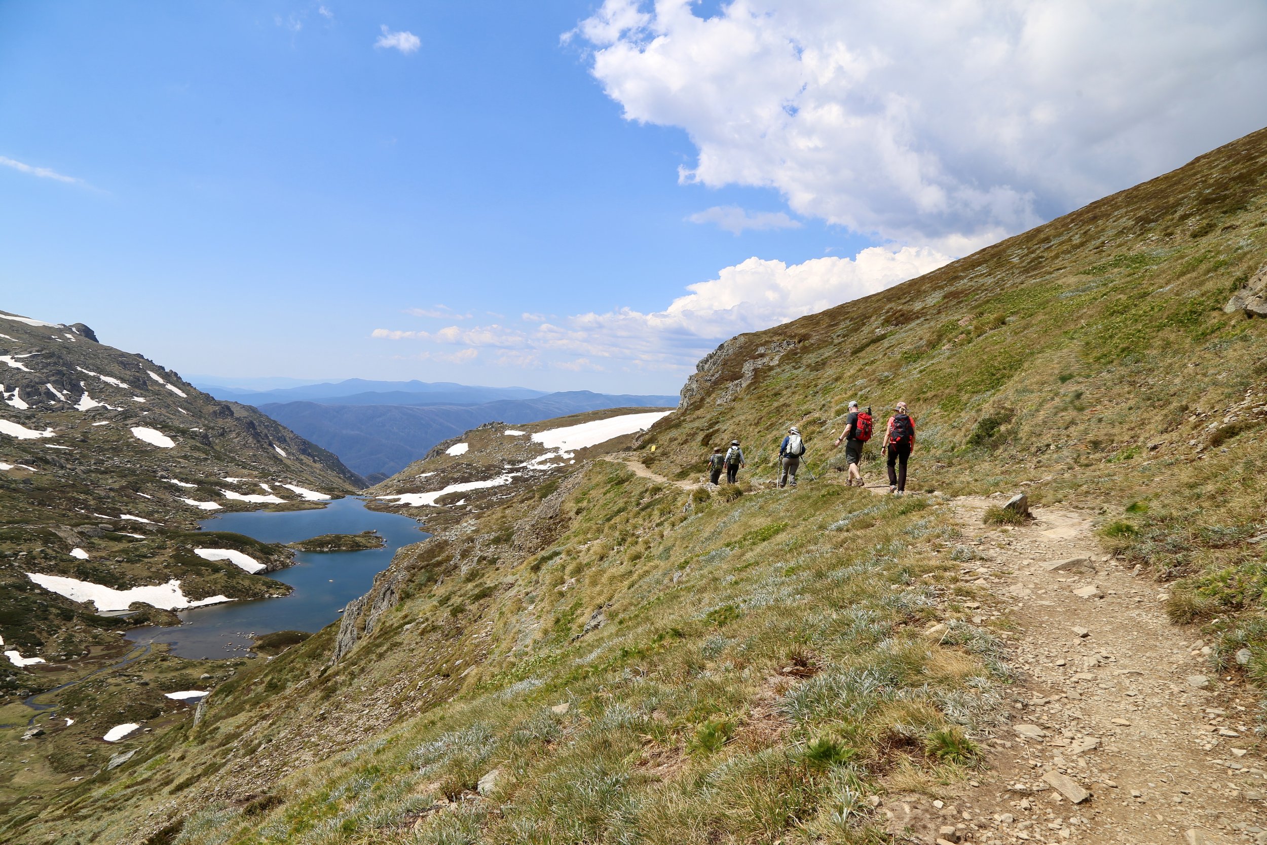
Albina Lake, Mount Northcote on right
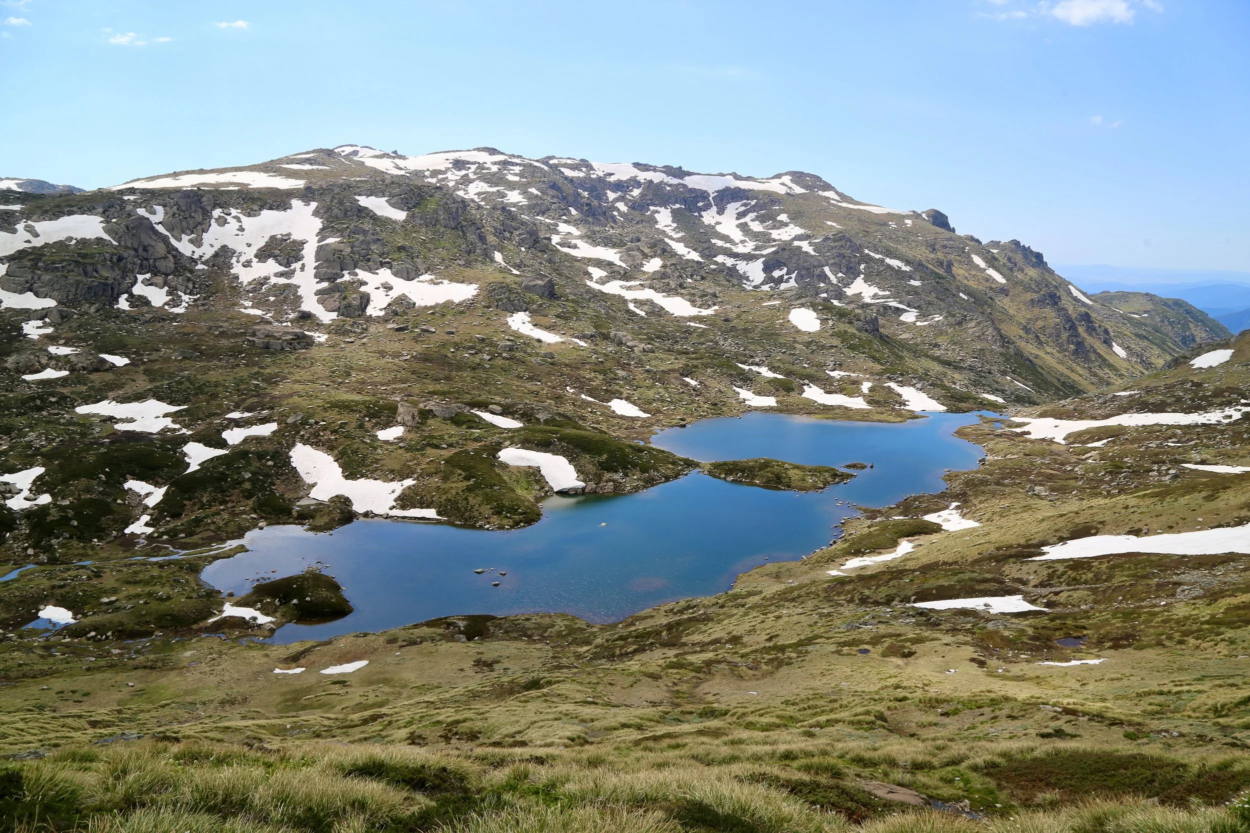
Albina Lake
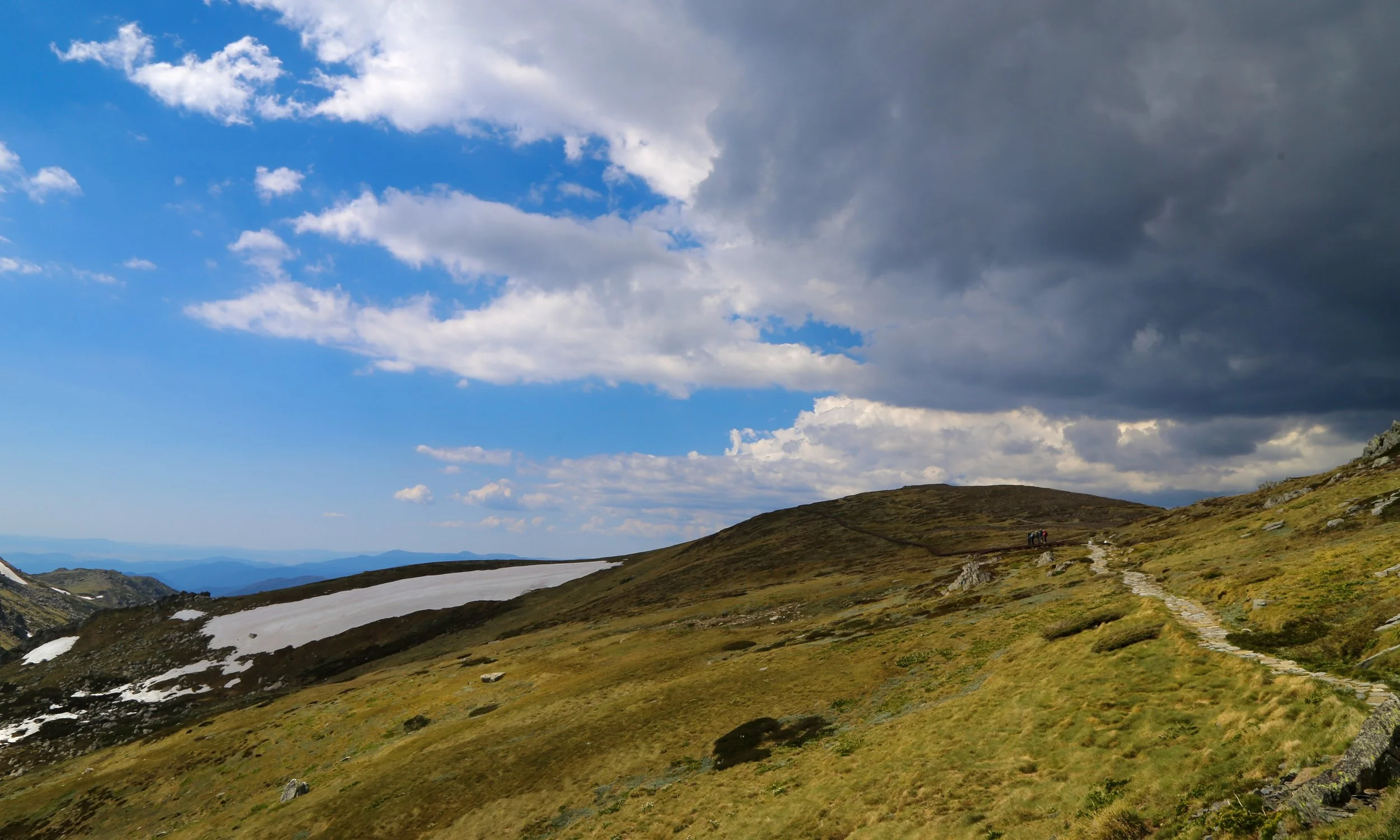
Main Range - storm clouds move in
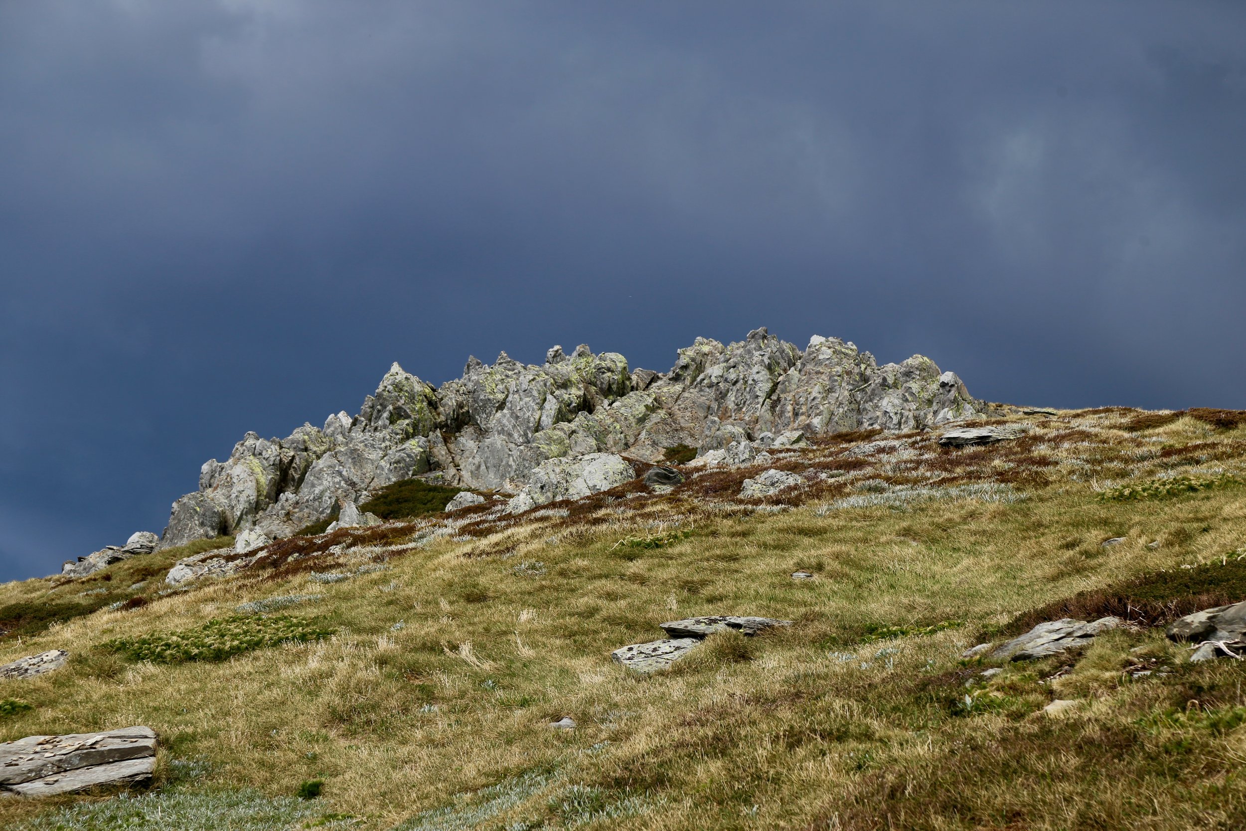
Mount Northcote
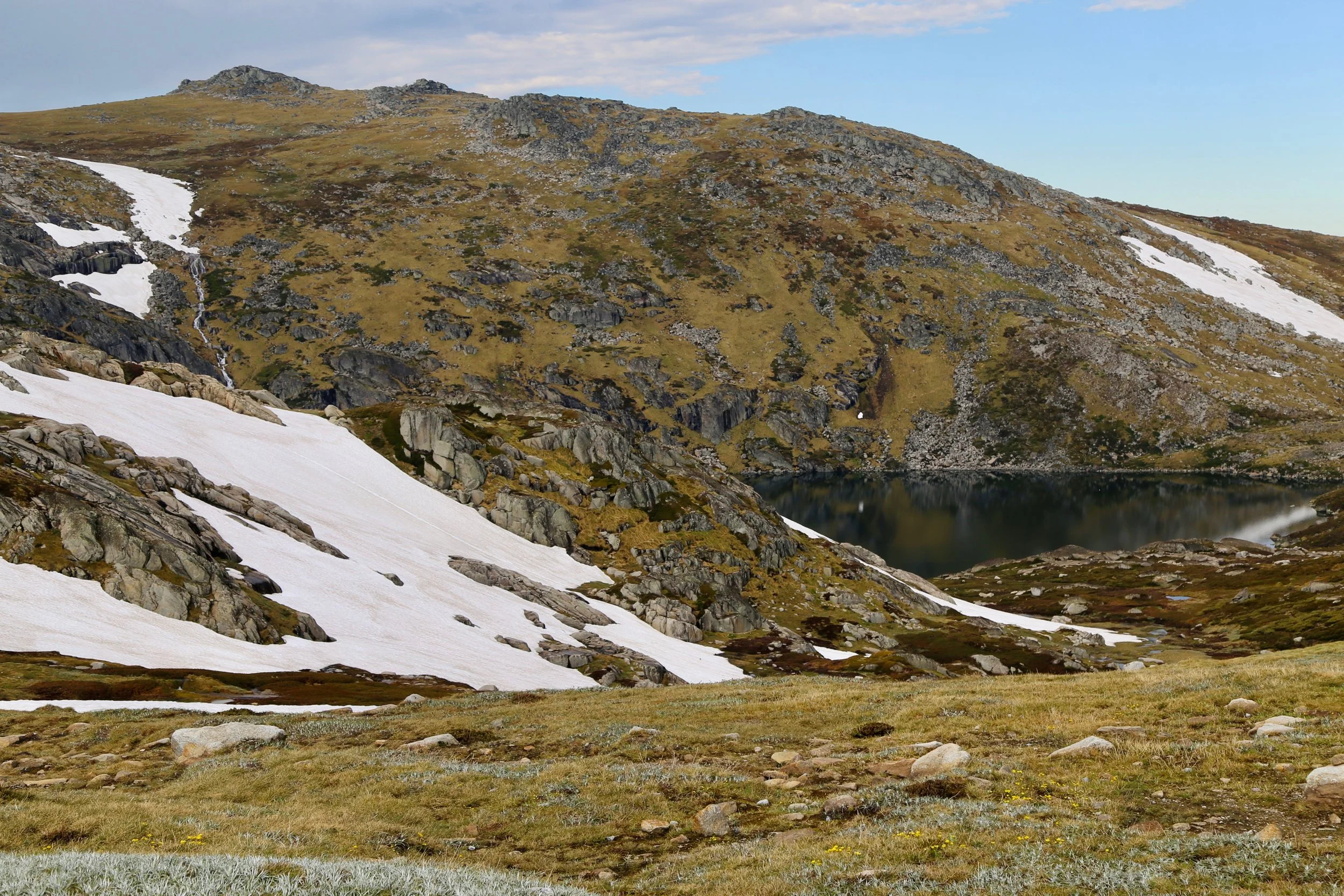
The Blue Lake
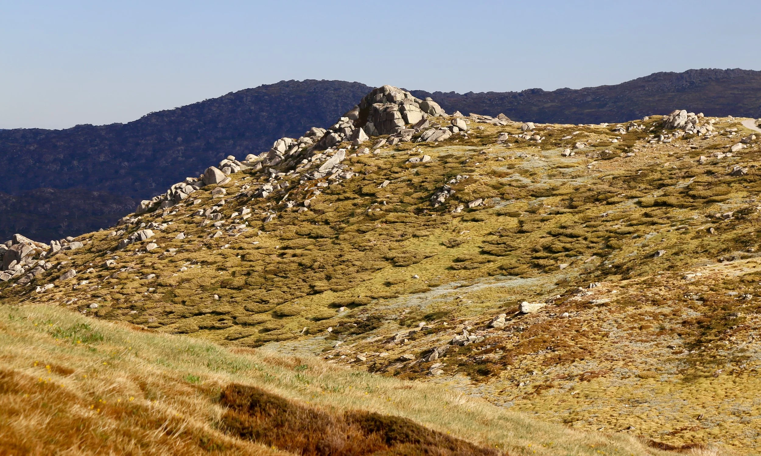
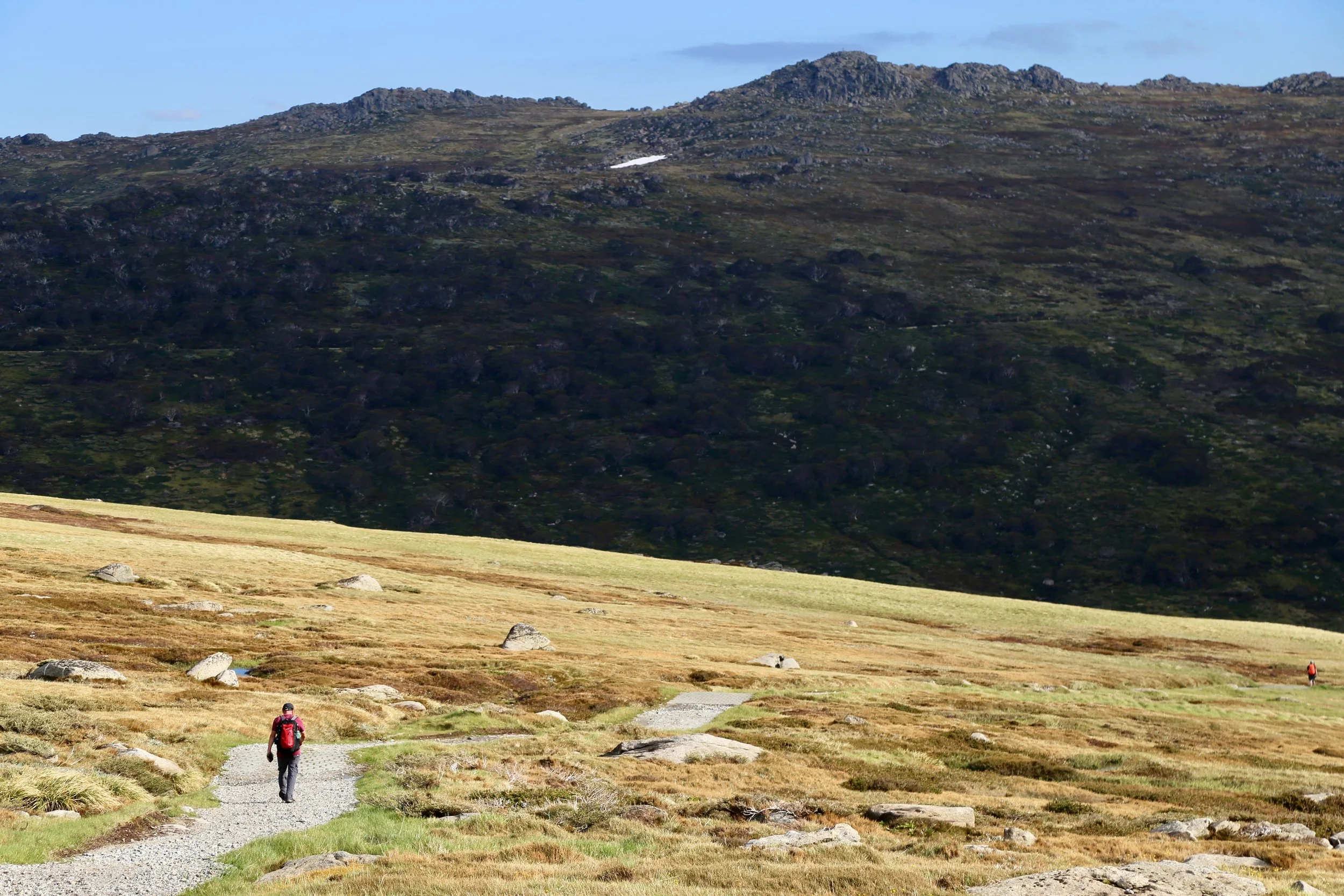
On the way back to Charlotte Pass
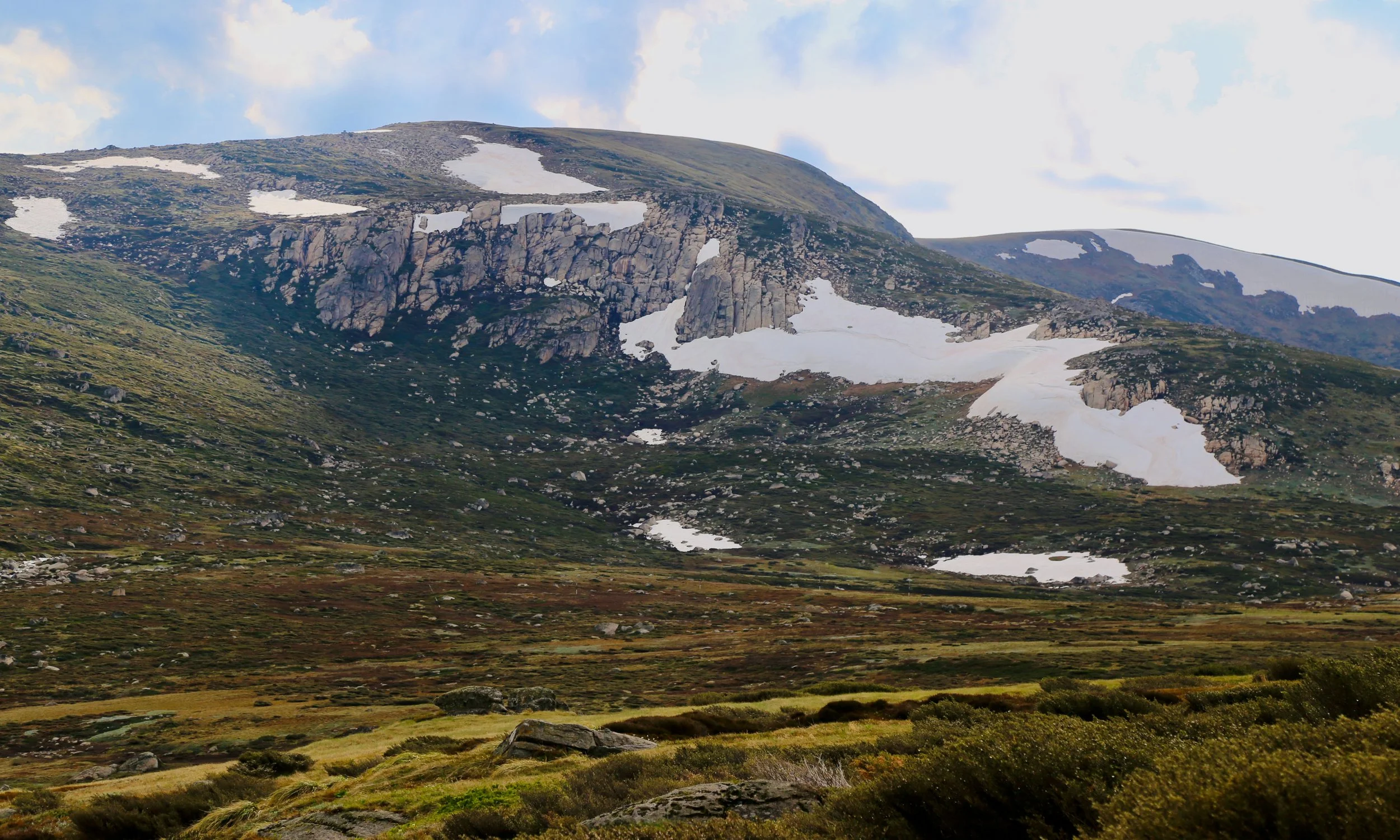
Looking back at Mount Northcote
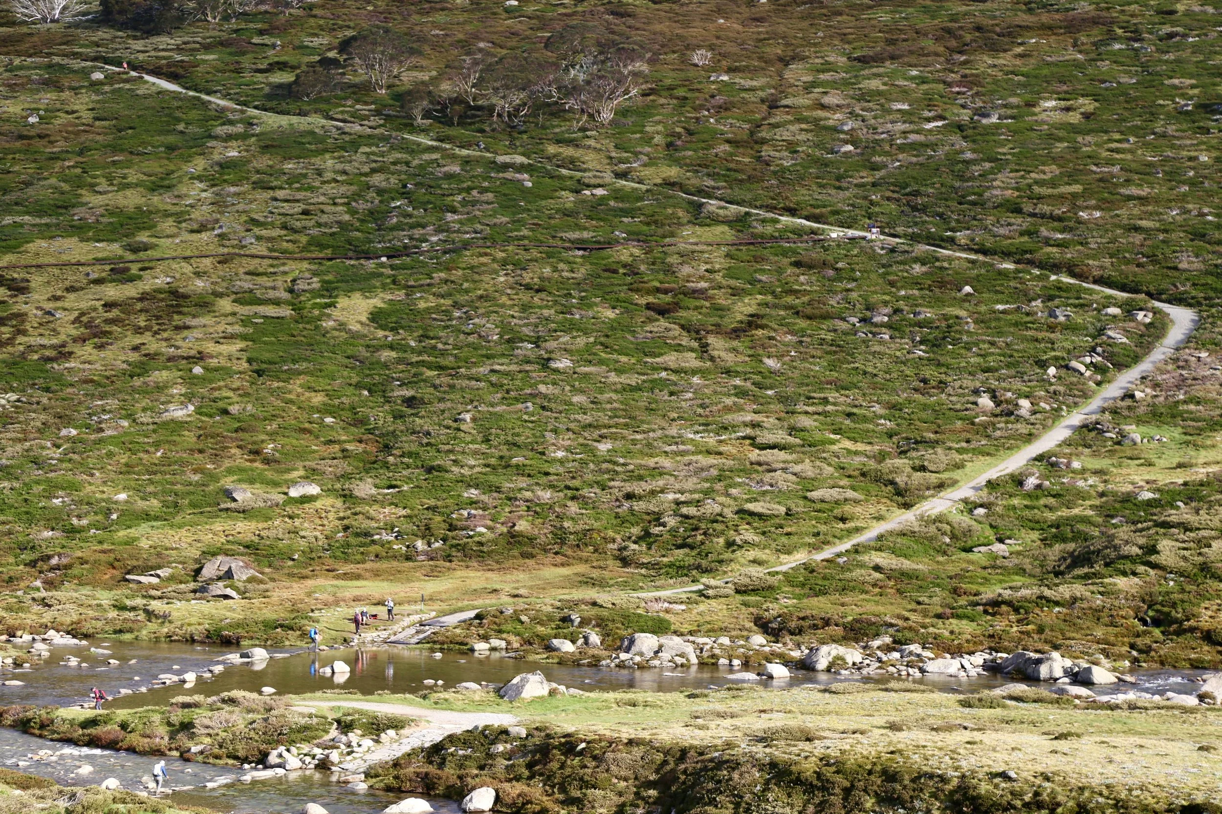
The final climb from the Snowy River up to Charlotte Pass
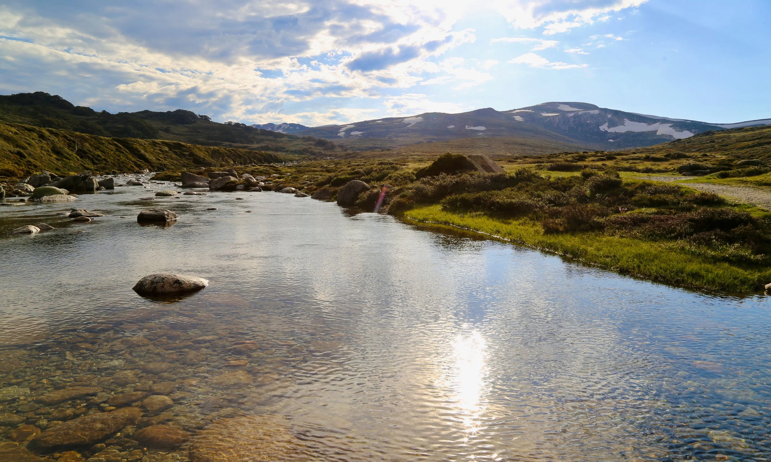
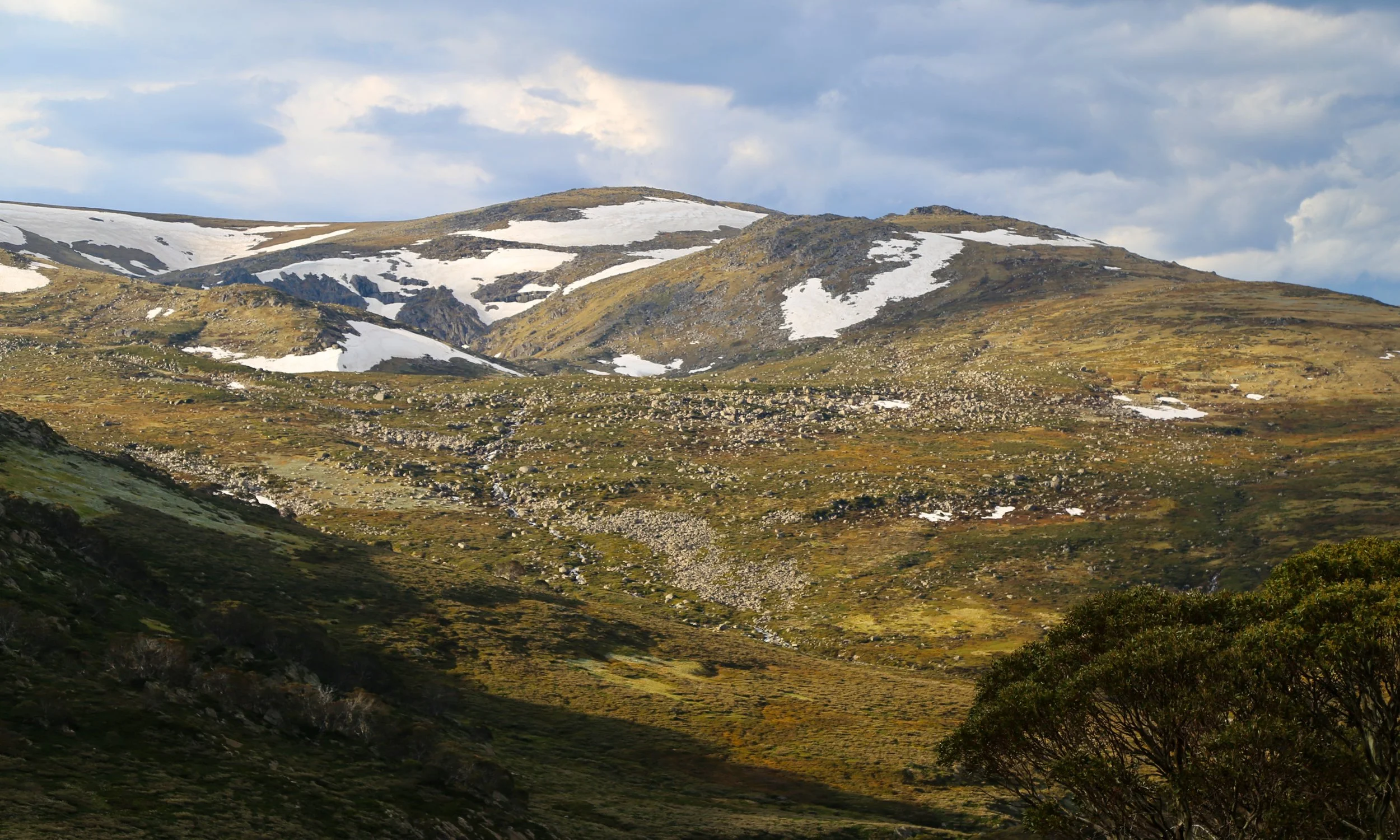
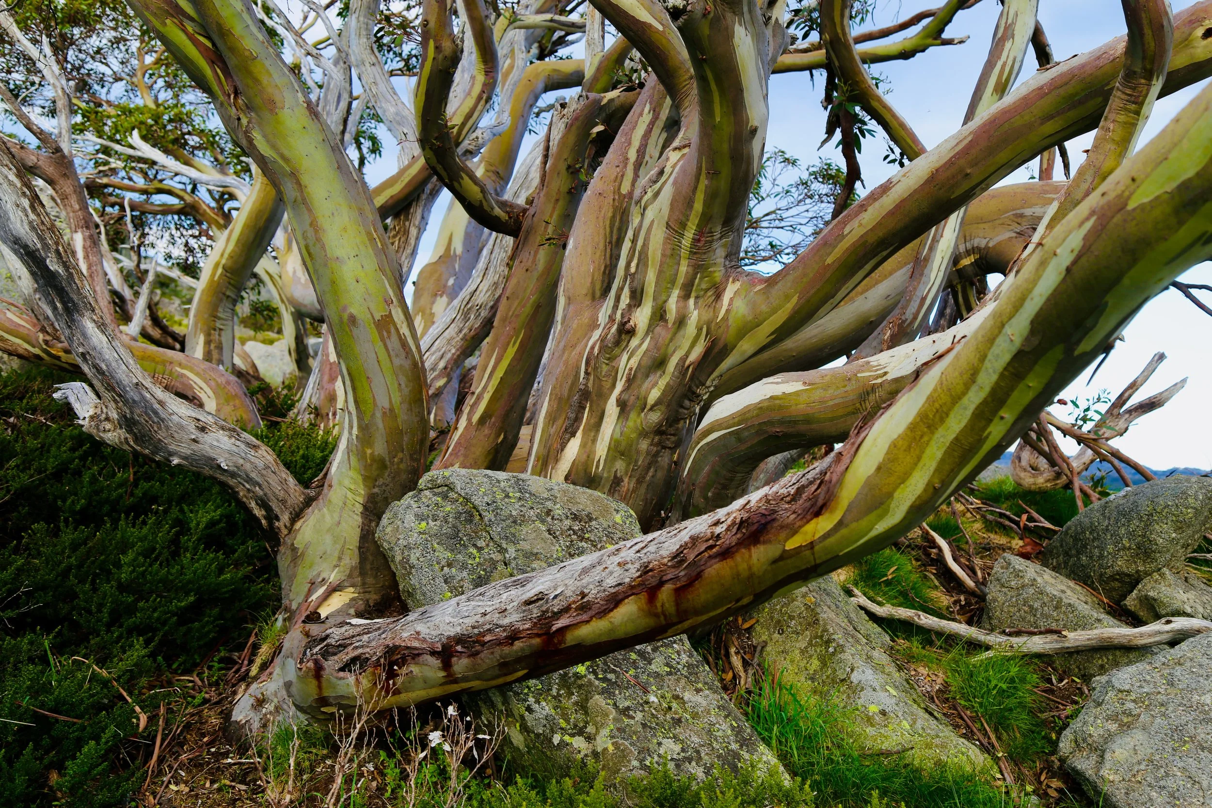
Snowgums, Charlotte Pass
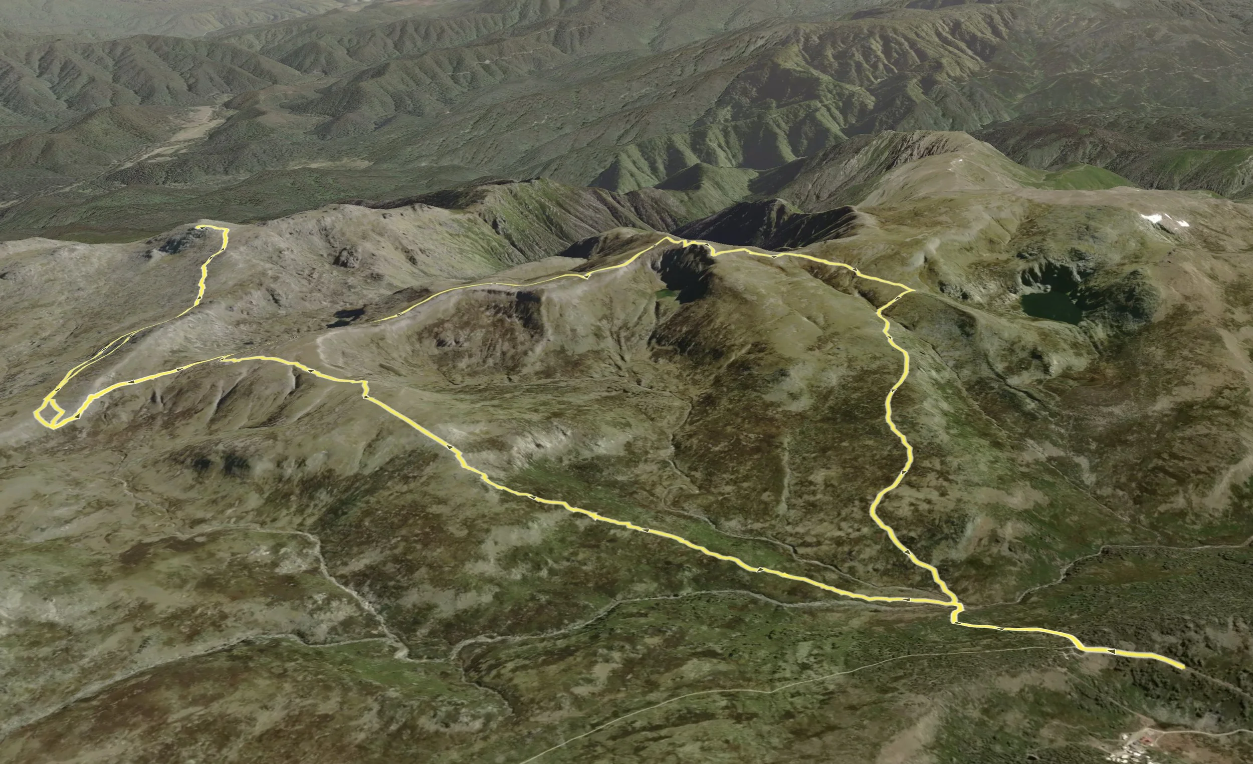
Mount Townsend, top left. Charlotte Pass, bottom right